The best road cycling routes around Montferrier
4.6
(102)
4,506
riders
71
rides
Road cycling routes around Montferrier-sur-Lez traverse a region characterized by varied terrain, including significant elevation changes and scenic passes. The landscape features rolling hills and more challenging ascents, offering diverse conditions for road cyclists. This area provides opportunities to explore both demanding climbs and gentler routes through the countryside.
Best road cycling routes around Montferrier
- The most popular road cycling route is La Lauze Pass – Roquefixade view loop from Roquefixade, a 23.7 miles (38.2 km) trail that takes…
Last updated: October 21, 2026
4.8
(8)
80
riders
38.2km
02:09
850m
850m
Moderate road ride. Good fitness required. Mostly well-paved surfaces and easy to ride.
4.7
(3)
124
riders
81.7km
04:20
1,580m
1,580m
Hard road ride. Very good fitness required. Mostly well-paved surfaces and easy to ride.

23
riders
94.2km
04:57
1,710m
1,710m
Hard road ride. Very good fitness required. Mostly well-paved surfaces and easy to ride.
12
riders
32.8km
01:28
340m
340m
Moderate road ride. Good fitness required. Mostly well-paved surfaces and easy to ride.
16
riders
187km
10:40
4,290m
4,290m
Hard road ride. Very good fitness required. Mostly well-paved surfaces and easy to ride.
Get access to more routes and recommendations from other explorers.
Already have an account?
Our route recommendations are based on thousands of hikes, rides, and runs completed by other people on komoot.
Start today with a free account
Your next adventure awaits.
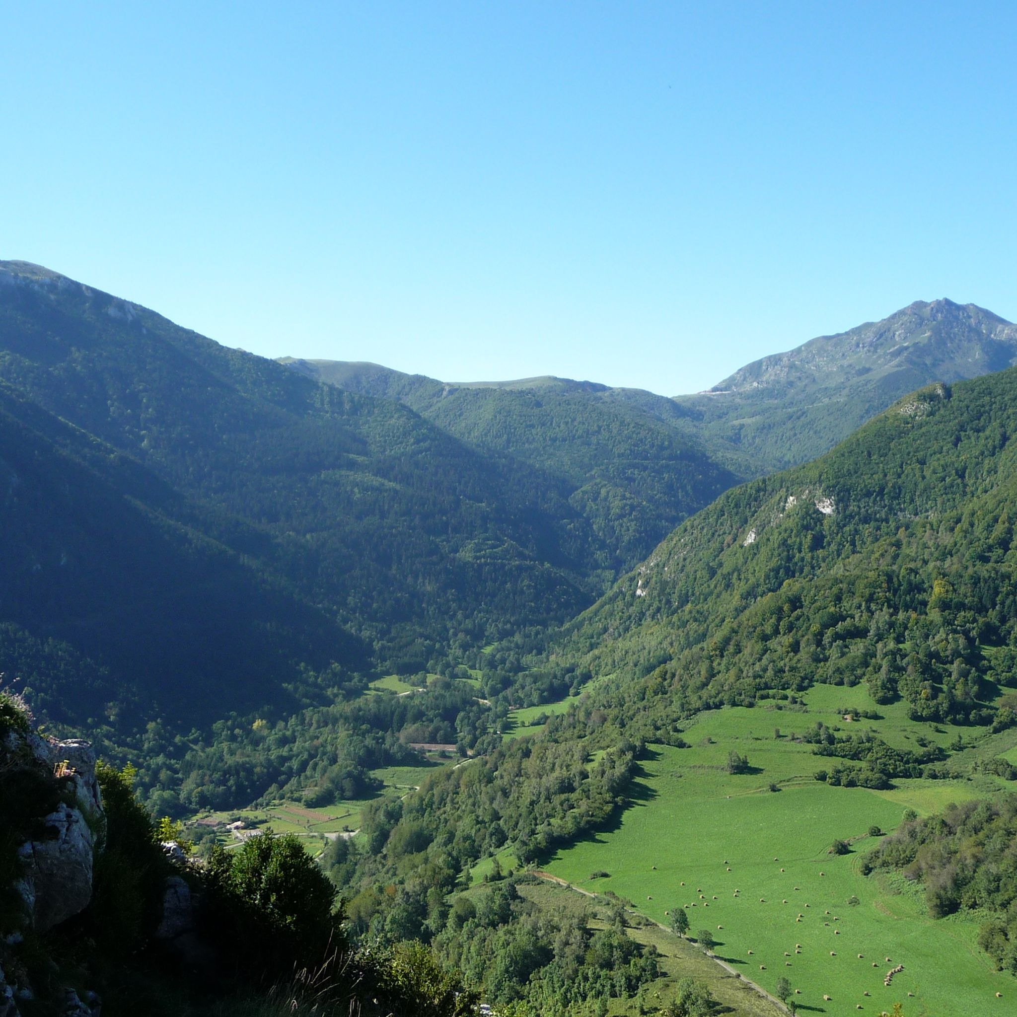
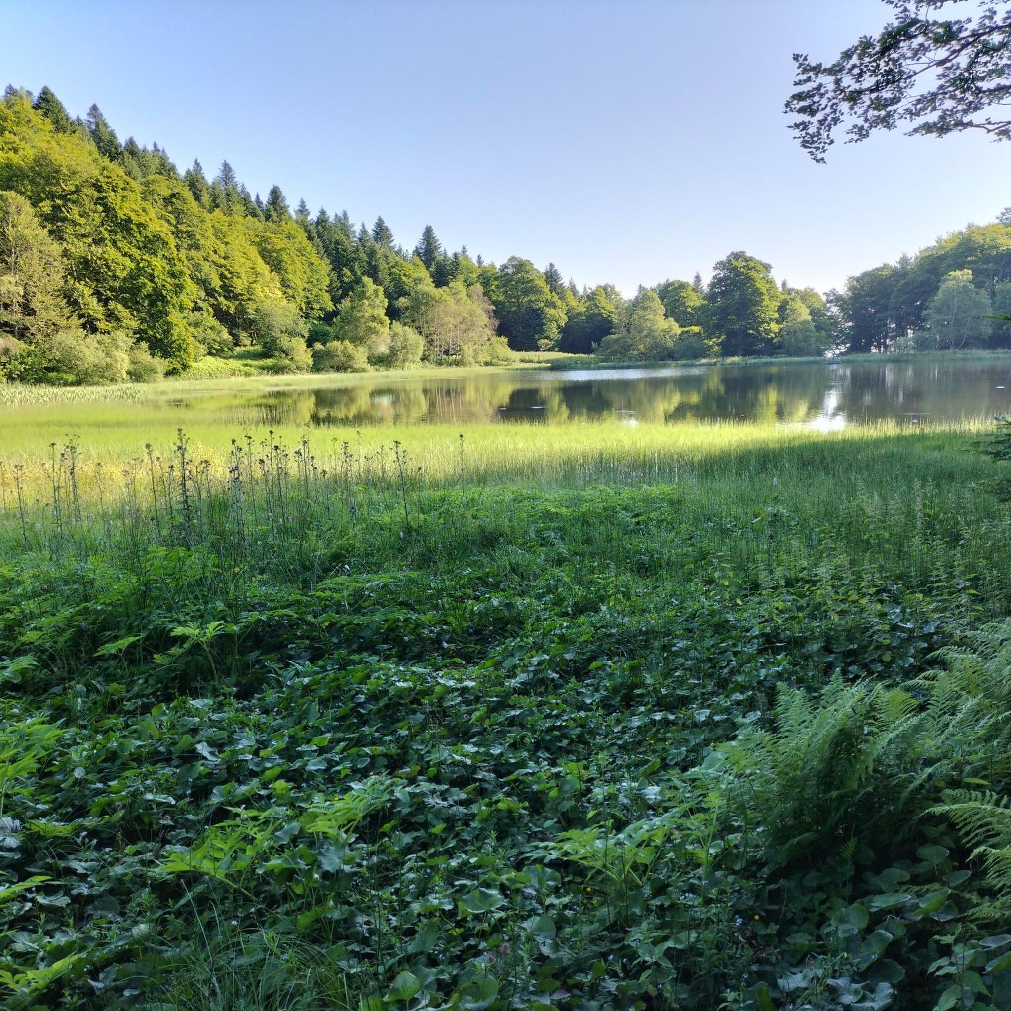
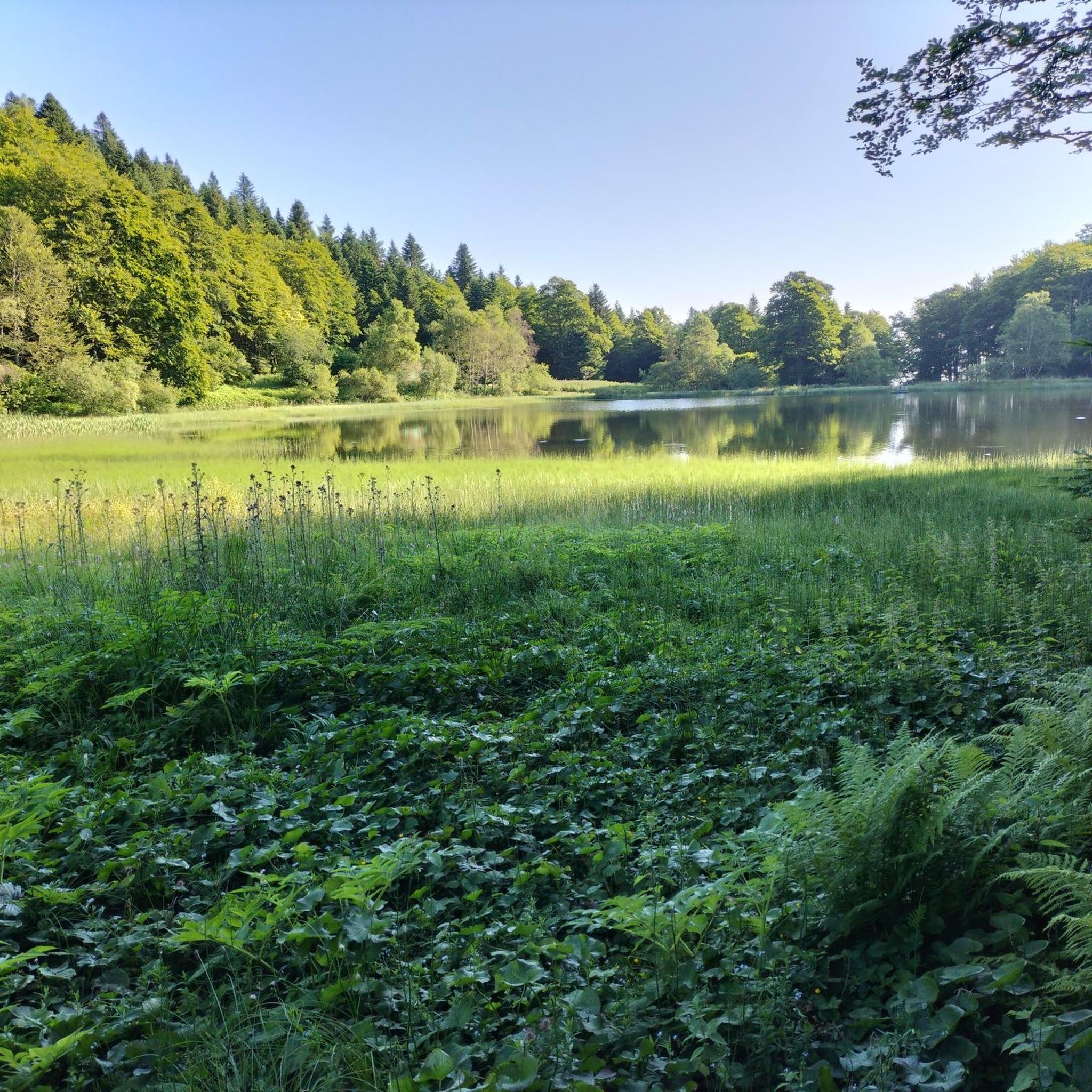
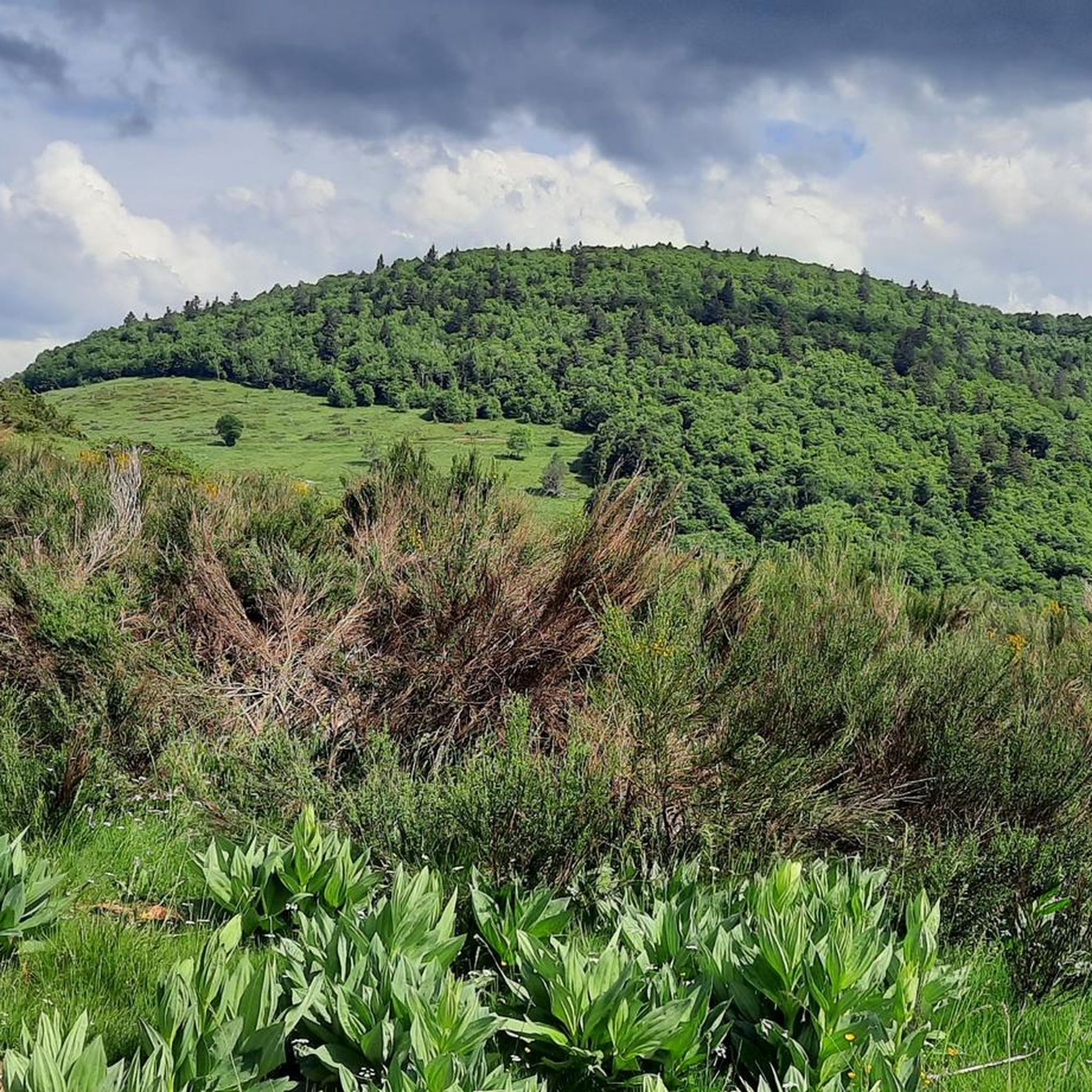

Tips from the Community

The center of Foix is small but very cute. It's worth taking a walk through the historic center.
0
0

The Col de Marmare-Chioula is an 18.6-kilometer long Category 1 pass. It is located in Luzenac.
16
1
The Col de Marmare from Luzenac is a climb in the Ariège region. It is 16.8 kilometers long and climbs 828 meters.
0
0
The Col du Chioula from Prades is a climb in the Ariège region. It is 2.3 kilometers long and climbs 72 meters.
0
0
Het eerste gedeekta gaat doir het bos en toen komt de steep deel en dat is vanaf deze fotoos het beste te zien.
12
0
There are several parking areas around the start of the walk.
16
0

Frequently Asked Questions
How many road cycling routes are available around Montferrier?
There are over 70 road cycling routes around Montferrier, offering a wide range of options for different skill levels and preferences. These include 9 easy routes, 38 moderate routes, and 23 difficult routes.
What makes road cycling in Montferrier unique?
Montferrier offers a unique road cycling experience due to its diverse landscapes, ranging from 548 to 2,343 meters in altitude. You'll find quiet, well-paved roads traversing mountains, river valleys, and charming medieval villages. The region is known for its challenging climbs, including several Tour de France cols within reach, and the dramatic backdrop of the Massif de Tabe.
What do other road cyclists say about the routes in Montferrier?
The road cycling routes in Montferrier are highly rated by the komoot community, with an average score of 4.6 stars from over 130 reviews. Cyclists often praise the stunning scenery, the variety of terrain, and the quiet roads that allow for an immersive experience in nature.
Are there easy road cycling routes suitable for beginners or families?
Yes, Montferrier offers several easy road cycling routes perfect for beginners or a relaxed family outing. An excellent option is the La Bastide-sur-l'Hers – La Bastide-sur-l'Hers loop from Villeneuve-d'Olmes. This 16.3-mile (26.2 km) path features a manageable 749 feet (228 m) of elevation gain, making it suitable for less strenuous rides through the local area.
Are there challenging road cycling routes for experienced riders?
Absolutely. For experienced riders seeking a challenge, Montferrier and its surroundings offer routes with significant climbs and elevation gains. A notable difficult route is the Col du Chioula – Pailhères Pass loop from Montségur, which spans 114.4 miles (184.2 km) and features a substantial 14,043 feet (4,280 m) of elevation gain, often taking over 10 hours to complete.
What kind of scenery can I expect on road cycling routes around Montferrier?
You can expect breathtaking scenery, including dramatic mountain vistas, lush river valleys like the Touyre, and picturesque medieval villages. Many routes offer panoramic viewpoints, and you'll often pass by historical sites such as Cathar castles, adding a cultural dimension to your ride.
Are there mountain passes to conquer for road cyclists in the area?
Yes, the Ariège region, where Montferrier is located, is renowned for its mountain passes, some of which are featured in the Tour de France. You can find passes like La Lauze Pass, Col de Marmare (1361 m), and Col du Chioula. These offer challenging ascents and rewarding views.
What attractions or landmarks can I see along the road cycling routes?
Beyond the natural beauty, you can explore historical landmarks. Routes often pass near impressive Cathar castles such as Roquefixade Castle and the famous Montségur Castle. These provide fascinating points of interest and opportunities for scenic breaks.
Are there circular road cycling routes available in Montferrier?
Many of the road cycling routes around Montferrier are designed as loops, allowing you to start and finish at the same point. For example, the popular La Lauze Pass – Roquefixade view loop from Roquefixade is a 23.7-mile (38.2 km) circular route offering panoramic views.
What is the best season for road cycling in Montferrier?
The best seasons for road cycling in Montferrier are typically spring and autumn, when the weather is milder and the landscapes are vibrant. Summer can also be excellent, especially for higher mountain passes, though it's advisable to start early to avoid the midday heat. Winter cycling is possible but may be limited by snow and ice on higher elevations.
Are there options for parking near the starting points of road cycling routes?
Given the region's focus on outdoor activities, many villages and towns that serve as starting points for routes, such as Roquefixade or Villeneuve-d'Olmes, typically offer public parking facilities. It's always a good idea to check local information for specific parking availability at your chosen starting location.
Most popular routes around Montferrier
Most popular attractions around Montferrier

Get inspired with the komoot mobile app


Explore more
Browse the best Road cycling routes in other regions.
