The best road cycling routes around L'Aiguillon
4.7
(57)
1,951
riders
68
rides
Road cycling routes around L'Aiguillon are characterized by significant elevation changes and varied terrain, offering challenging climbs and scenic descents. The region features numerous passes and loops that traverse mountainous landscapes, providing diverse experiences for road cyclists. These routes often lead through areas with notable elevation gains, making them suitable for riders seeking more demanding rides.
Best road cycling routes around L'Aiguillon
- The most popular road cycling route is The Lauze pass, a 30.8 miles (49.6 km) trail that…
Last updated: July 4, 2026
4.7
(15)
130
riders
49.6km
02:37
900m
900m
Moderate road ride. Good fitness required. Mostly well-paved surfaces and easy to ride.
5.0
(2)
58
riders
48.7km
02:03
360m
350m
Moderate road ride. Good fitness required. Mostly well-paved surfaces and easy to ride.

Sign up for free
4.5
(2)
59
riders
52.9km
02:30
660m
660m
Moderate road ride. Good fitness required. Mostly well-paved surfaces and easy to ride.
5.0
(2)
49
riders
96.8km
04:48
1,550m
1,550m
Hard road ride. Very good fitness required. Mostly well-paved surfaces and easy to ride.
5.0
(2)
41
riders
50.4km
02:13
510m
510m
Moderate road ride. Good fitness required. Mostly well-paved surfaces and easy to ride.
Get access to more routes and recommendations from other explorers.
Sign up for free
Already have an account?
Our route recommendations are based on thousands of hikes, rides, and runs completed by other people on komoot.
Start today with a free account
Your next adventure awaits.
Login or Signup



Tips from the Community

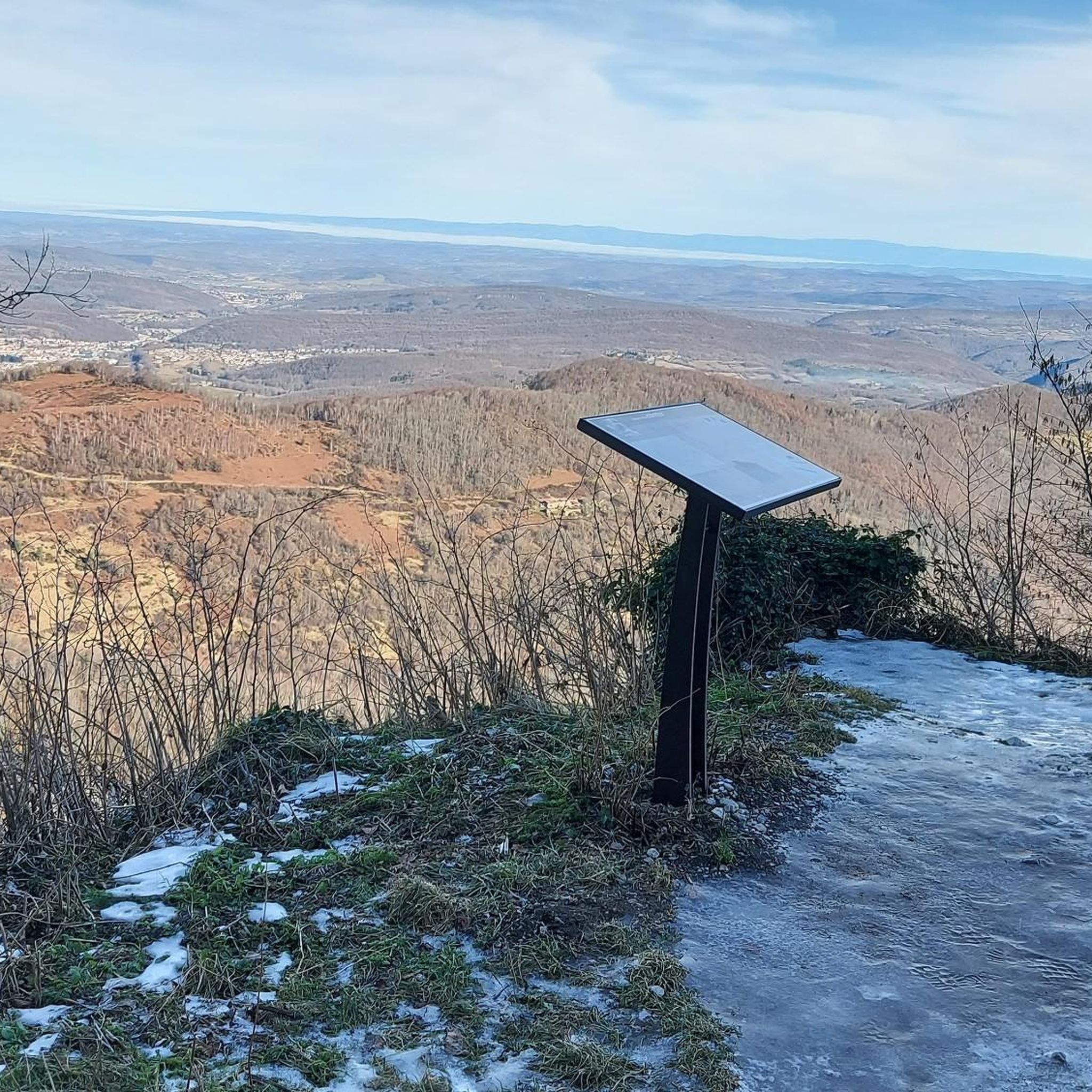
very nice pass, first 5 km a little difficult but nothing more, then very smooth and very beautiful view
0
0

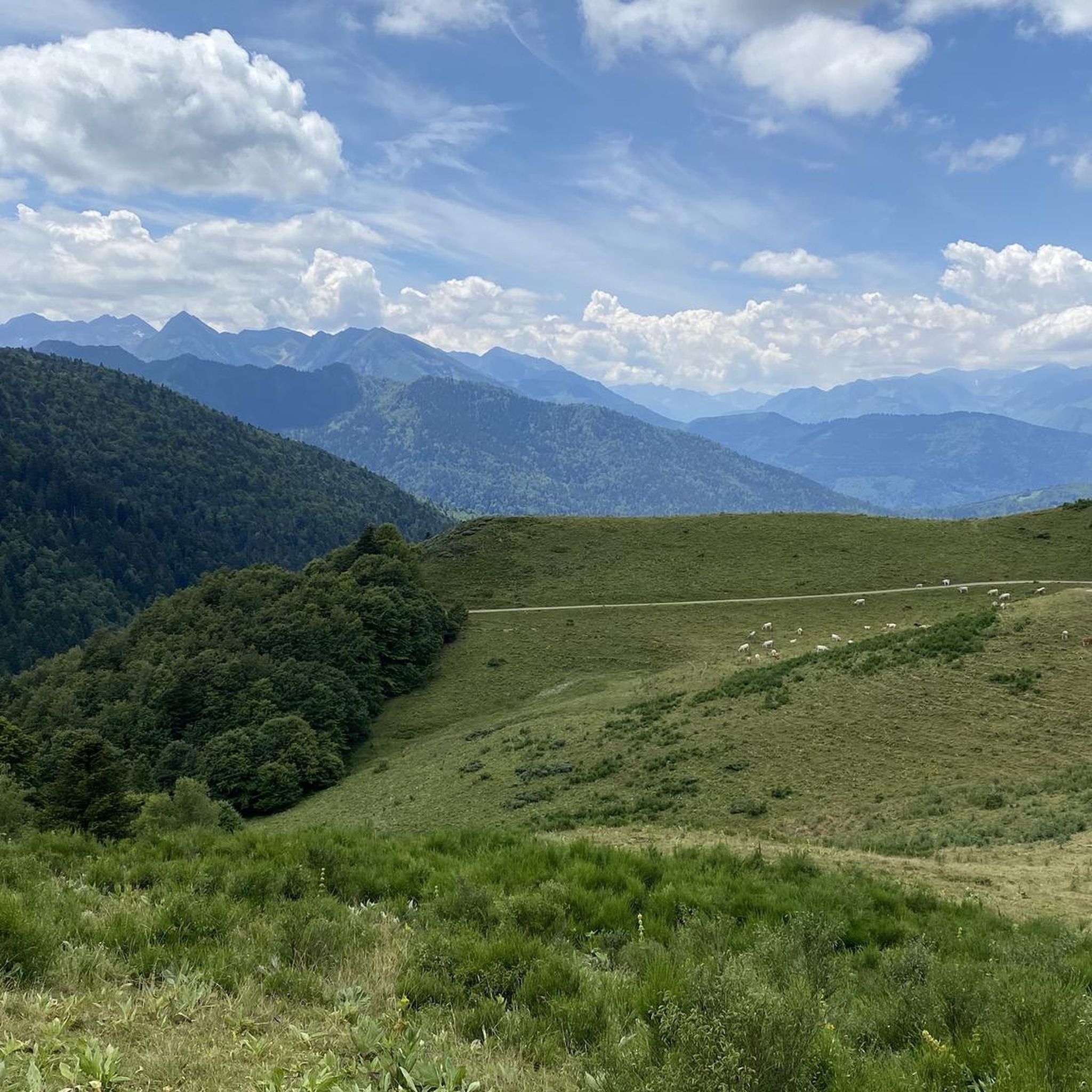
Beautiful view of the heights, continuing the road we have beautiful landscapes!
0
0

Camon, in addition to having a remarkable natural heritage with more than five natural areas of ecological, faunal and floral interest, is especially known for its remarkable architectural heritage. The creation of the town dates back to 923. Ramparts, church and abbey as well as houses from the Middle Ages and the Renaissance follow one another for the lucky visitors who are lucky enough to pass by.
0
0

Great place with interesting streets and historic buildings on the hill.
0
0

Super little pass which is only really steep for its first 5-6 kilometers; the last 8 kilometers alternate between passages in the forest and passages with great views of the surrounding valleys. The surface is good and there is very little traffic.
0
0

Located in the heart of the Plantaurel massif on the borders of Aude, the charming little village of La Bastide-sur-l'Hers is set in a peaceful and authentic natural setting.
0
0
Located in the heart of the Plantaurel massif on the borders of Aude, the charming little village of La Bastide-sur-l'Hers is set in a peaceful and authentic natural setting.
0
0
Nestled in the hollow of the mountains and crossed by the Hers, Sainte-Colombe-sur-l’Hers is a charming little village. Not far from Lake Montbel, it is ideal for stopping off on the GR 7.
1
0
Frequently Asked Questions
What kind of terrain can I expect on road cycling routes around L'Aiguillon?
While the broader Vendée region, including L'Aiguillon-sur-Mer, is known for its generally flat coastal and marshland routes, the specific road cycling routes featured in this guide offer a more challenging experience. You can expect significant elevation changes, mountainous landscapes, and varied terrain with demanding climbs and scenic descents. For example, The Lauze pass features an elevation gain of over 2,900 feet (898 meters).
Are there routes suitable for different skill levels, from beginners to advanced cyclists?
Yes, the area offers a range of routes catering to various abilities. While many routes feature challenging climbs, there are options for moderate to difficult rides. For instance, Pailhères Pass – Col du Chioula loop from Bélesta is a difficult route with over 9,100 feet (2,775 meters) of elevation gain, whereas Chalabre – Medieval town of Camon loop from Lavelanet is a moderate option.
When is the best time of year for road cycling in L'Aiguillon?
The Vendée region generally offers pleasant cycling conditions for much of the year. Spring and autumn provide mild temperatures and fewer crowds, making them ideal for longer rides. Summer is also popular, especially for coastal routes, though it can be busier. The well-maintained roads and extensive network are accessible in most seasons.
What natural features or landmarks can I see along the road cycling routes?
The routes often lead through diverse landscapes. While the specific routes in this guide focus on mountainous terrain, the broader L'Aiguillon area is rich in natural beauty, including coastal splendor, extensive marshlands like the Marais Poitevin, and coastal forests. You might encounter historical sites such as Montségur Castle or natural wonders like Gorges de la Frau, depending on the route you choose.
Are there many circular road cycling routes available?
Yes, many of the road cycling options around L'Aiguillon are designed as loops, allowing you to start and finish in the same location. Examples include the challenging Pailhères Pass – Col du Chioula loop from Bélesta and the moderate Bélesta – D120 road with view loop from Lavelanet, which offers scenic vistas.
What kind of cycling infrastructure is available in the L'Aiguillon area?
The Vendée region, including L'Aiguillon, boasts one of France's largest cycling networks, with extensive cycle paths and dedicated road cycling routes. The area is integrated into the Vélodyssée, a major coastal route. You'll find well-maintained roads, clear signage, and numerous "Accueil Vélo" labeled services, indicating bike-friendly accommodations and rental options, ensuring a supportive environment for cyclists.
What do other cyclists enjoy most about road cycling in L'Aiguillon?
The road cycling routes around L'Aiguillon are highly rated by the komoot community, with an average score of 4.7 stars from over 50 reviews. Cyclists often praise the challenging ascents, the varied terrain, and the scenic loops that provide diverse experiences. The opportunities for significant climbs are particularly appreciated by those seeking more demanding rides.
Are there any family-friendly road cycling options in the L'Aiguillon area?
While the specific routes highlighted in this guide feature significant elevation and are generally moderate to difficult, the broader L'Aiguillon-sur-Mer area and the Vendée coast offer many flatter, dedicated cycle paths suitable for families. These include sections of the Vélodyssée and routes through marshlands, providing a gentler cycling experience away from heavy traffic.
Where can I find parking for road cycling routes in L'Aiguillon?
Parking is generally available in and around L'Aiguillon-sur-Mer, particularly near popular starting points for cycling routes and in the town centers. For specific routes, it's advisable to check the route details on komoot for recommended parking spots near the trailhead or starting village, such as Bélesta or Lavelanet for some of the featured routes.
Are there places to stop for refreshments or amenities along the routes?
Many routes pass through or near charming villages and towns where you can find cafes, bakeries, and small shops to refuel. The Vendée region is known for its welcoming atmosphere for cyclists, with many establishments catering to their needs. It's always a good idea to carry sufficient water and snacks, especially on longer or more remote sections, but opportunities for stops are generally available.
How long are the typical road cycling routes in this area?
The road cycling routes around L'Aiguillon vary in length, offering options for different durations. For example, The Lauze pass is about 30.8 miles (49.6 km) and takes around 2 hours 36 minutes, while the more challenging Nice view of Puivert loop from Lavelanet extends to 96.7 km (60.1 miles) and can take significantly longer.
Is public transport available to access road cycling routes in L'Aiguillon?
While L'Aiguillon-sur-Mer has some local public transport options, direct access to specific road cycling route starting points in more mountainous areas might be limited. It's best to check regional bus services or train connections to larger towns near your desired starting point. Many cyclists prefer to drive to a convenient parking spot and begin their ride from there.
Most popular attractions around L'Aiguillon

Get inspired with the komoot mobile app


Explore more
Browse the best Road cycling routes in other regions.
