The best mountain hikes around Laconnex
5.0
(6)
46
hikers
1
hike
Mountaineering around Laconnex, a municipality in the Canton of Geneva, Switzerland, is characterized by its proximity to significant mountain ranges rather than its immediate terrain. Laconnex itself features a gentle topography with elevations ranging from 425 to 471 meters, primarily consisting of agricultural land, forested sections, and a nature reserve. While local trails offer countryside walks, the region serves as a gateway to more demanding alpine pursuits in the nearby Jura Mountains and the French Alps, including Mont Salève.
Best…
Last updated: June 27, 2026
6
hikers
7.02km
03:16
590m
590m
Moderate mountaineering route. Good fitness required. Mostly accessible paths. Sure-footedness required.
5.0
(1)
6
hikers
Moderate mountaineering route. Good fitness required. Mostly accessible paths. Sure-footedness required.

Sign up for free
2
hikers
9.84km
03:51
620m
620m
Hard mountaineering route. Good fitness required. Sure-footedness, sturdy shoes and alpine experience required.
3
hikers
5.85km
03:03
590m
590m
Hard mountaineering route. Good fitness required. Sure-footedness, sturdy shoes and alpine experience required.
2
hikers
7.91km
02:40
380m
380m
Moderate mountaineering route. Good fitness required. Easily-accessible paths. Suitable for all skill levels.
Our route recommendations are based on thousands of hikes, rides, and runs completed by other people on komoot.
Start today with a free account
Your next adventure awaits.
Login or Signup

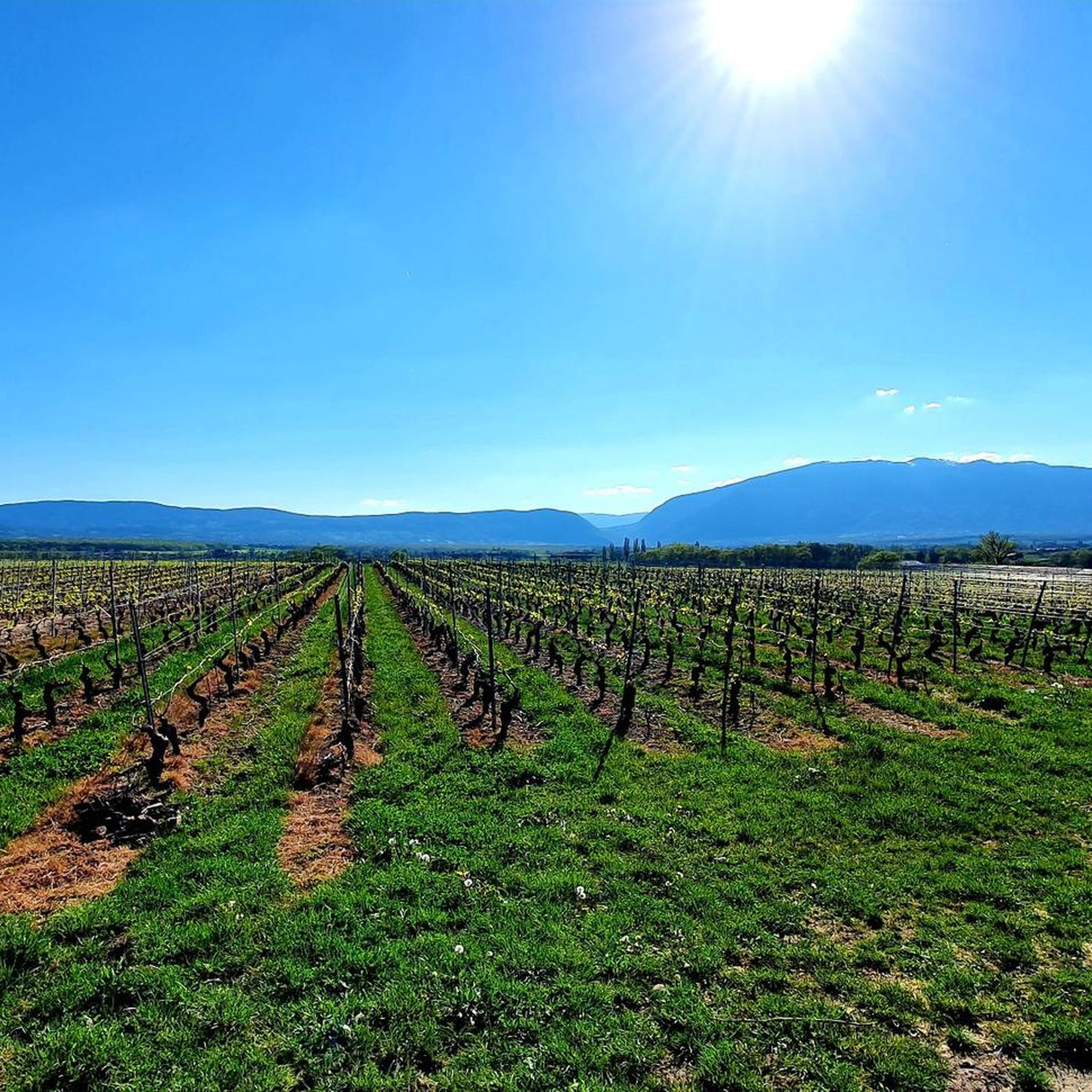
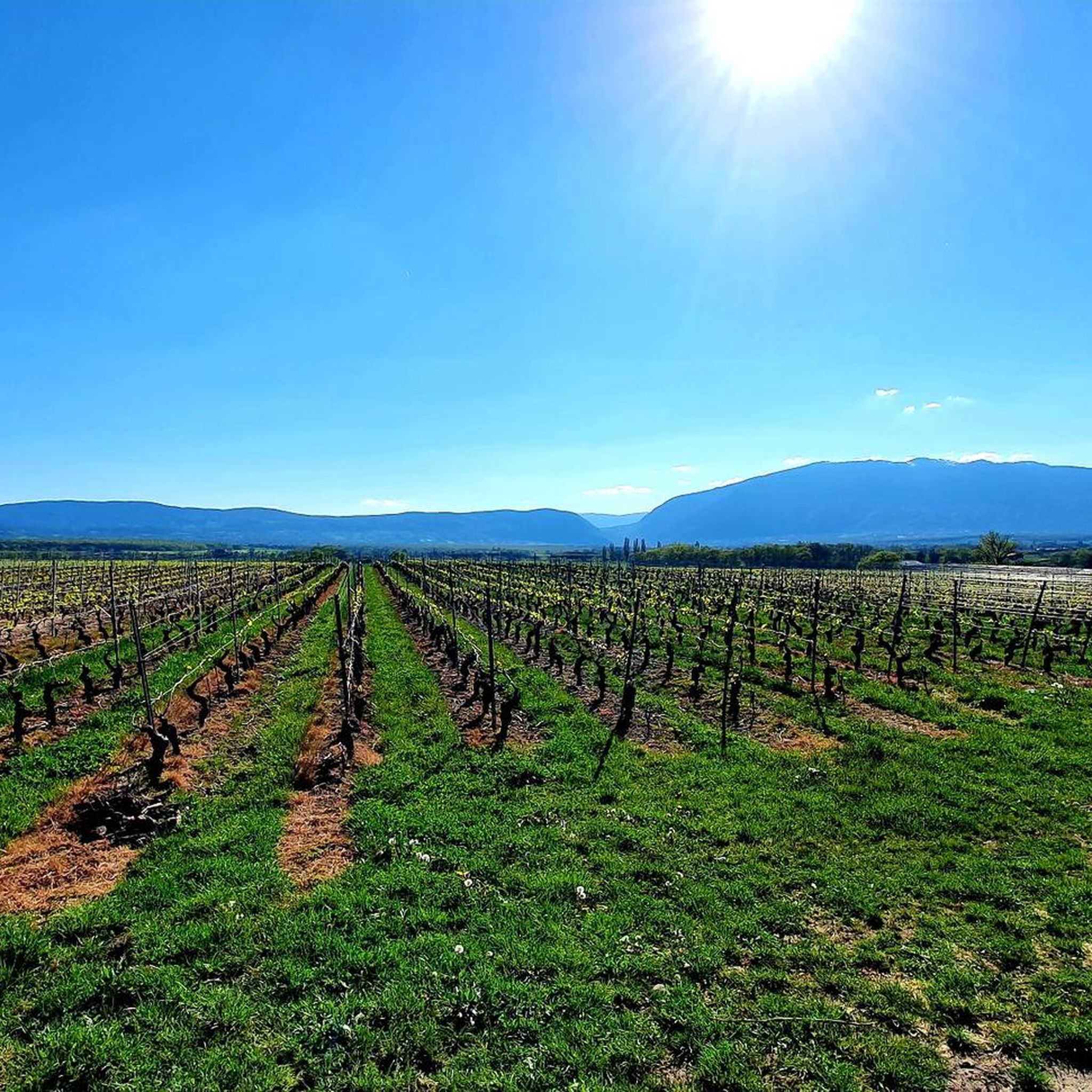
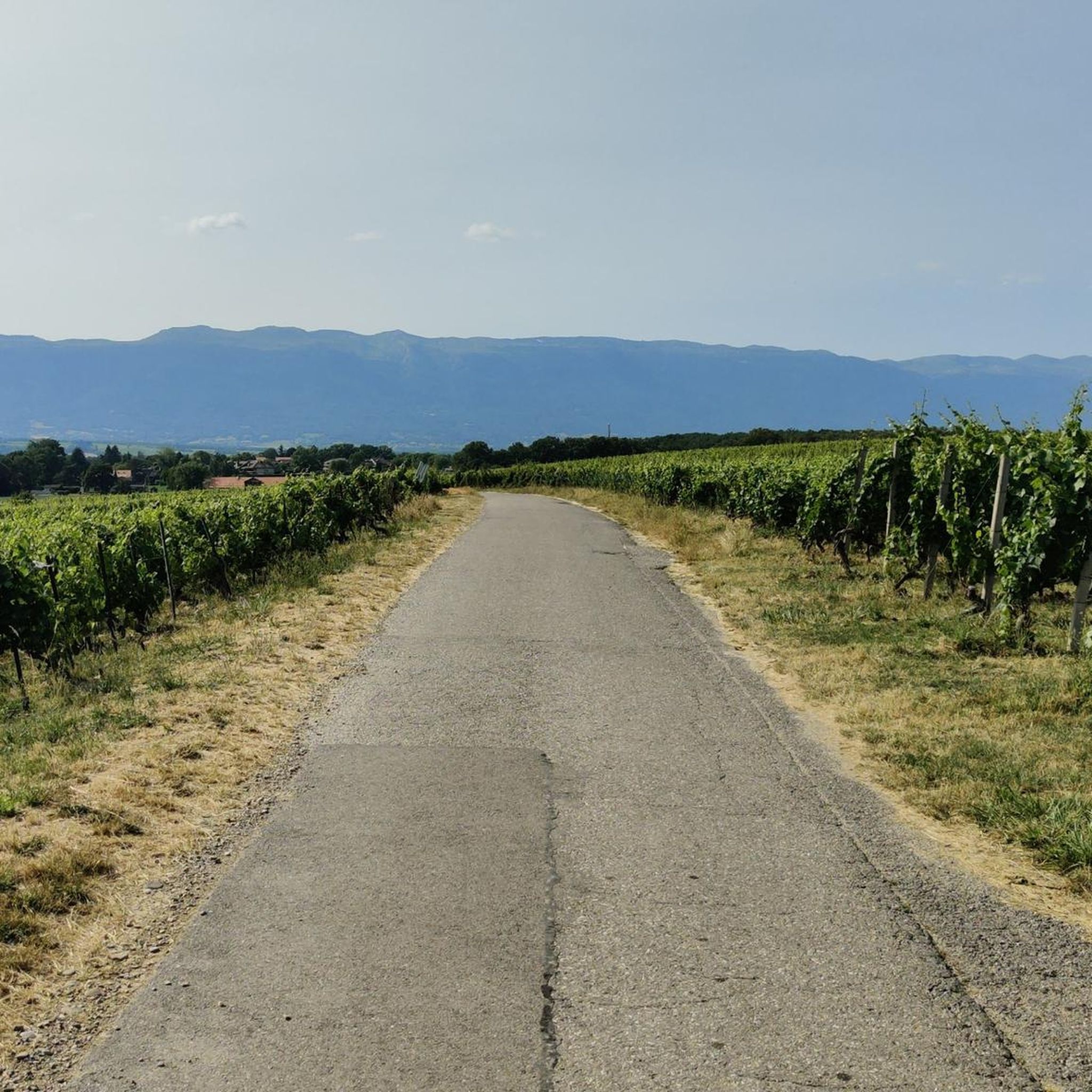
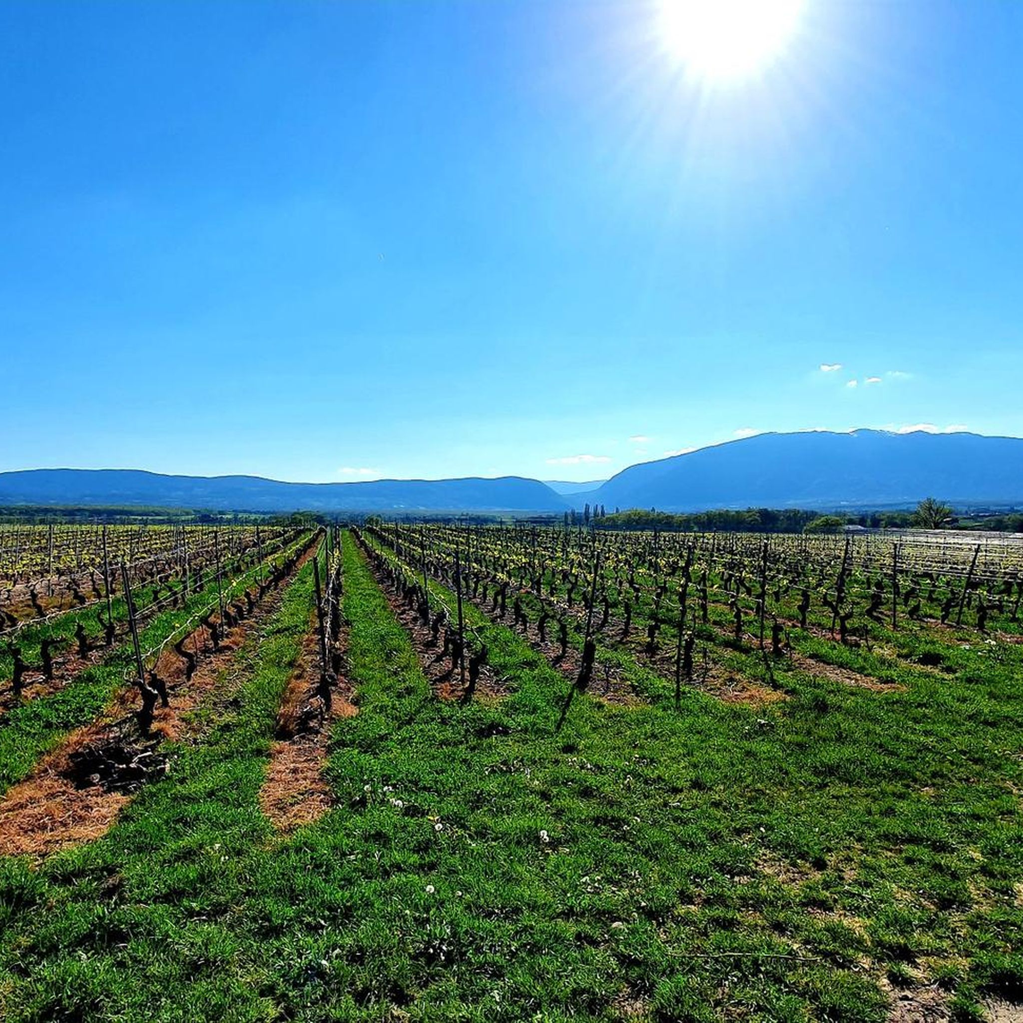

Other adventures around Laconnex

Tips from the Community

The section from La Muraz to Cruseille, passing through Le Sappey, and then the climb from Cruseille to La Croisette are really nice. Beautiful road, few cars and gentle slope!
0
0


Le Trou de la Tine (Trou of the Tine Cave) was formed by erosion on the flank of Mont Salève. It is a deep, sunken hole shaped like an open-topped barrel ("Tine" is an old dialect term for barrel, "trou" means hole). The cave's ceiling has collapsed due to erosion, revealing a natural "barrel" with a side opening. One can walk into the "barrel" through this side opening.
0
0

The Bastian Tower alone is worth a detour; the sweeping view of Lake Geneva makes it a magical experience.
0
0

Once you pass the Pitons pass, you think you're almost there! 🥵
0
0


Col de Croissette. What a beautiful tour. A long climb with percentages up to 18% brings you to the plateau of the mountain. There with rolling roads and paths towards the west to enter the descent and via the North back to Geneva.
0
0

From the Bastian Tower, a few meters from the highest point of the Salève massif, the view of Geneva and Lake Geneva is magnificent.
0
0
Frequently Asked Questions
How many mountaineering routes are available around Laconnex?
While Laconnex itself offers gentle terrain, it serves as a gateway to more demanding alpine pursuits. There are currently 5 mountaineering routes listed around Laconnex, providing access to the rugged peaks of the Jura Mountains and the Alps.
Are there routes suitable for beginners or those seeking less strenuous climbs?
Yes, while many routes are challenging, there are options for varying ability levels. For example, the Orjobet Cave – Croisette Pass loop from Collonges-sous-Salève is a moderate route, offering a less strenuous experience compared to some of the more difficult ascents.
What are some of the more challenging mountaineering routes near Laconnex?
For experienced mountaineers, routes like the Crossing the trou de la roche – La Coraterie Cliff loop from Collonges-sous-Salève or the Le Grand Piton loop from Beaumont offer difficult ascents with significant elevation gain, providing panoramic vistas and rugged terrain.
Are there any circular mountaineering routes around Laconnex?
Yes, several routes are designed as loops, allowing you to start and end at the same point. Examples include the Crossing the trou de la roche – La Coraterie Cliff loop from Collonges-sous-Salève and the Crossing the trou de la roche loop from Collonges-sous-Salève, both offering varied terrain and scenic views.
What interesting sights or viewpoints can I expect on these mountaineering routes?
The region offers stunning natural beauty and impressive viewpoints. You can find highlights such as the View from Signal de Bernex or the Grand Piton Tour, which provide expansive views of the surrounding landscapes, including the Champagne Genevoise, Salève, and Jura mountains.
Can I bring my dog on these mountaineering routes?
Many trails in the region are dog-friendly, but it's always recommended to keep your dog on a leash, especially in agricultural areas, nature reserves, or near livestock. Always check local regulations for specific routes or protected areas.
What is the best time of year for mountaineering around Laconnex?
The best time for mountaineering in the wider Geneva region, including the nearby Alps and Jura, is typically from late spring to early autumn (May to October). During these months, the weather is generally more stable, and trails are free of snow at lower to mid-altitudes. Winter mountaineering is possible but requires specialized equipment and experience due to snow and ice conditions.
How can I reach the starting points of these mountaineering routes by public transport?
Laconnex and its surrounding areas are accessible by public transport, primarily buses from Geneva. While specific route starting points may vary, checking the local TPG (Transports Publics Genevois) website for bus schedules and stops near your chosen trailhead is advisable. Many routes, especially those near Mont Salève, are often accessible from towns like Collonges-sous-Salève, which have public transport links.
Is parking available near the mountaineering trailheads?
Parking is generally available in the villages and towns that serve as starting points for these routes, such as Collonges-sous-Salève or Beaumont. For specific trailheads, it's recommended to check local signage or online maps for designated parking areas, as availability can vary.
What do other mountaineers enjoy the most about mountaineering in Laconnex's surrounding areas?
The area is highly rated by the komoot community, with an average score of 5.0 stars from over 6 reviews. Mountaineers often praise the diverse terrain, the challenging ascents, and the rewarding panoramic views over the region, including Lake Geneva and the distant Alps.
Are there any natural landmarks to explore near the mountaineering trails?
Beyond the trails themselves, the region boasts several natural highlights. You might encounter features like the Étang du Bois des Mouilles or the Lac des Vernes, offering tranquil spots for nature observation. The Laconnex Nature Reserve itself is a managed marshland preserving diverse wildlife.
Are there places to eat or stay near the mountaineering routes in Laconnex?
Laconnex and the nearby towns and villages, particularly those closer to Geneva or Mont Salève, offer various options for dining and accommodation. You'll find local restaurants, cafes, and guesthouses where you can refuel and relax after your mountaineering adventure.
Most popular routes around Laconnex
Most popular attractions around Laconnex

Get inspired with the komoot mobile app


Explore more
Browse the best Mountain Hikes & Routes in other regions.
