The best mountain hikes around Hofstetten bei Brienz
4.7
(25)
175
hikers
14
hikes
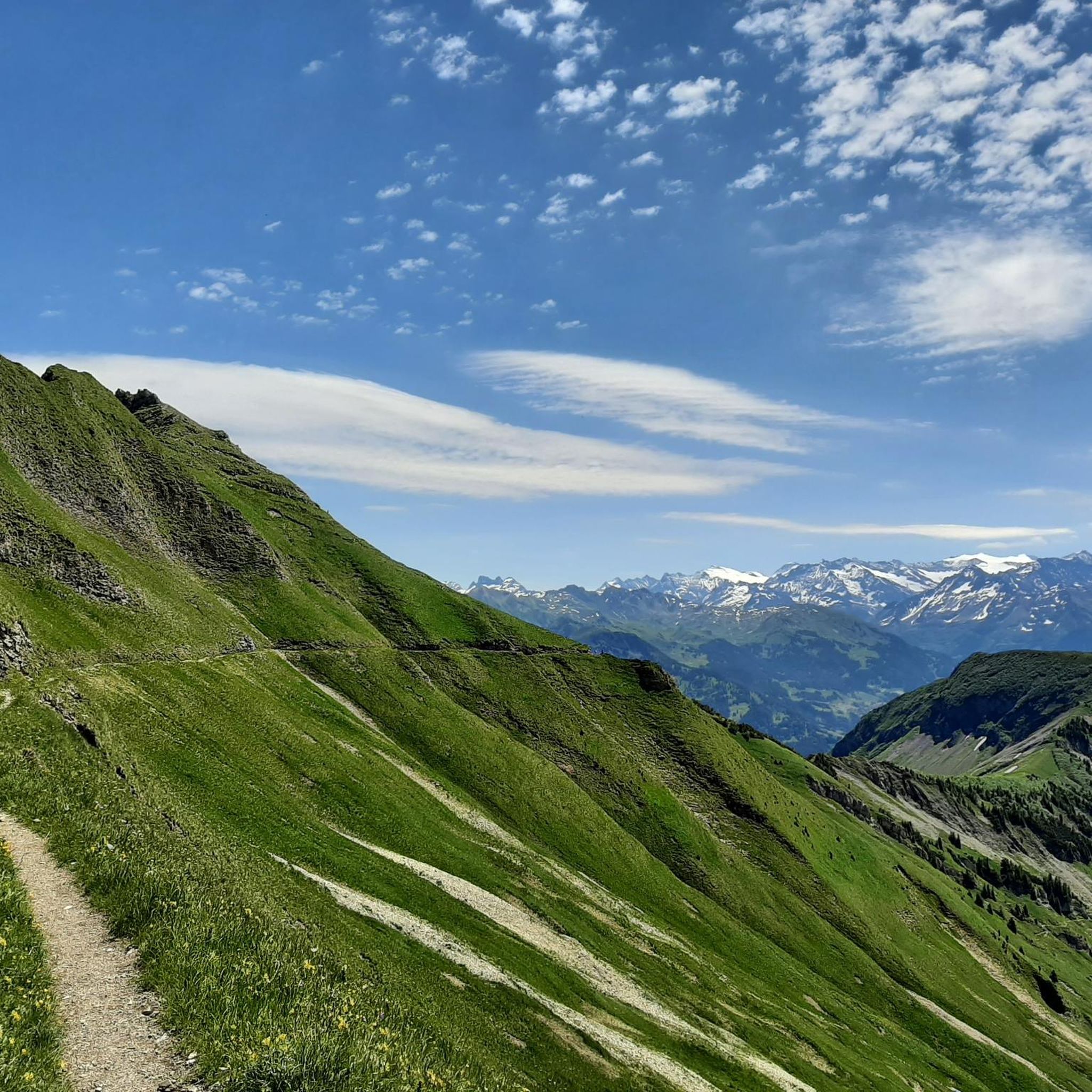
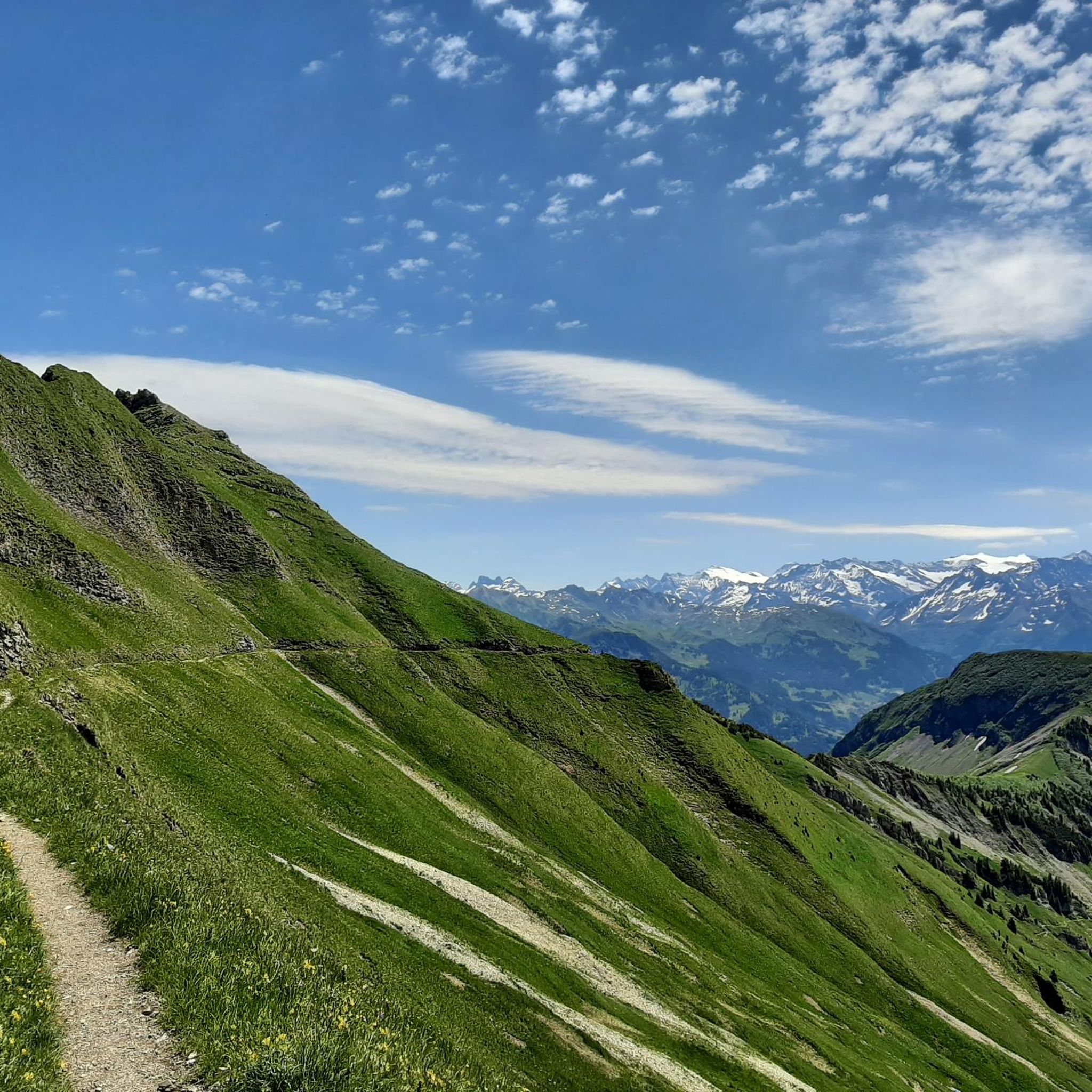
Mountaineering routes around Hofstetten bei Brienz are situated in the Bernese Oberland, offering an alpine environment characterized by dramatic mountain peaks and extensive forests. The village itself sits at 646 meters above sea level, with surrounding peaks such as Höch Gumme (2205 m), Arnihaggen (2207 m), and Wilerhorn (2005 m) providing significant elevation gains. The region extends towards the Gummialp, featuring diverse terrain suitable for challenging ascents and ridge hikes.
Best mountaineering routes around Hofstetten bei Brienz
- The most popular…
Last updated: July 6, 2026
4.7
(3)
23
hikers
14.9km
05:31
790m
790m
Hard mountaineering route. Very good fitness required. Mostly accessible paths. Sure-footedness required.
5.0
(4)
23
hikers
11.7km
04:32
700m
700m
Hard mountaineering route. Good fitness required. Sure-footedness, sturdy shoes and alpine experience required.

Sign up for free
5.0
(1)
11
hikers
19.6km
07:53
1,180m
1,180m
Hard mountaineering route. Very good fitness required. Sure-footedness, sturdy shoes and alpine experience required.
4.3
(3)
12
hikers
10.9km
04:49
730m
730m
Hard mountaineering route. Good fitness required. Sure-footedness, sturdy shoes and alpine experience required.
5.0
(2)
6
hikers
9.34km
04:13
660m
660m
Moderate mountaineering route. Good fitness required. Mostly accessible paths. Sure-footedness required.
Get access to more routes and recommendations from other explorers.
Sign up for free
Already have an account?
Our route recommendations are based on thousands of hikes, rides, and runs completed by other people on komoot.
Start today with a free account
Your next adventure awaits.
Login or Signup
Tips from the Community

wonderful and very nice round
3
0
wonderful and very nice round
3
0
wonderful and very nice round
3
0
Frequently Asked Questions
How many mountaineering routes are available around Hofstetten bei Brienz?
There are over 10 dedicated mountaineering routes around Hofstetten bei Brienz, offering a range of experiences from moderate ascents to challenging ridge hikes. The komoot community has explored 14 routes in total, with 11 rated as difficult and 3 as moderate.
What is the best time of year for mountaineering in Hofstetten bei Brienz?
The Bernese Oberland, where Hofstetten bei Brienz is located, is ideal for mountaineering during the warmer months, typically from late spring to early autumn. During this period, trails are generally clear of snow, and the weather is more stable, offering the best conditions for exploring the high alpine terrain and enjoying panoramic views.
Are there any circular mountaineering routes in the area?
Yes, many of the mountaineering routes around Hofstetten bei Brienz are circular, allowing you to start and end at the same point. For example, you could try the challenging Schrattenfluh – Hengst Summit loop from Salwideli, which is nearly 15 km long, or the Alp Breitenfeld – Turren Restaurant loop from Turren, which traverses alpine pastures.
What kind of natural features and landmarks can I expect to see on these routes?
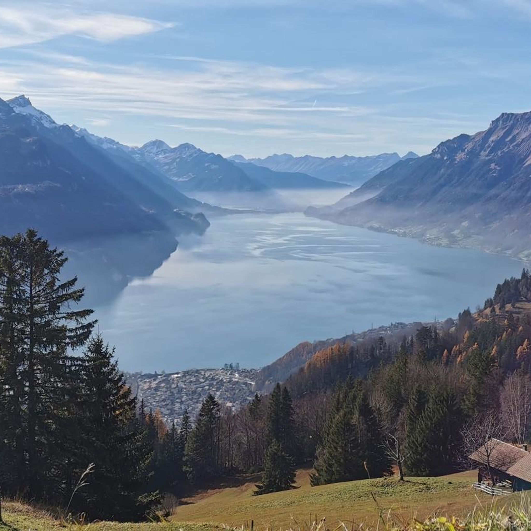
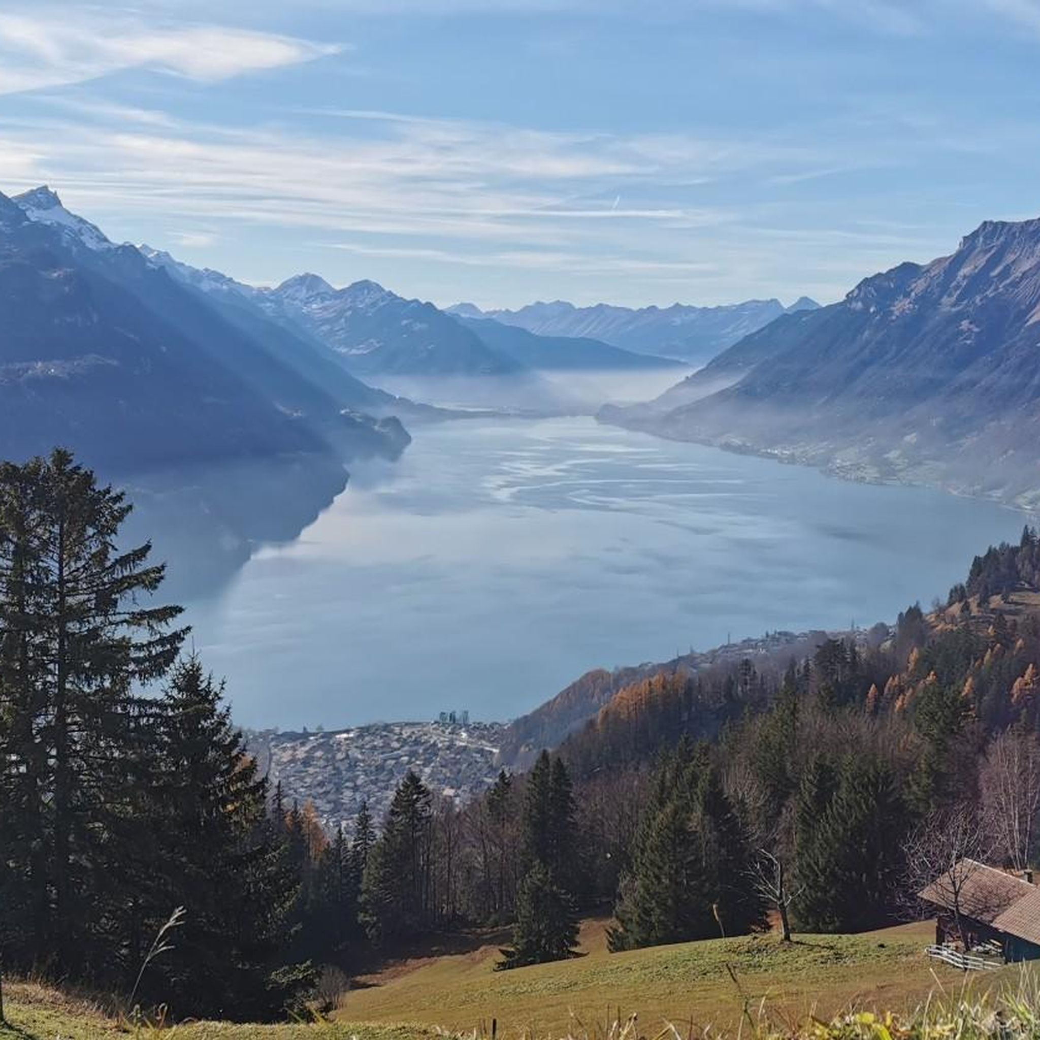
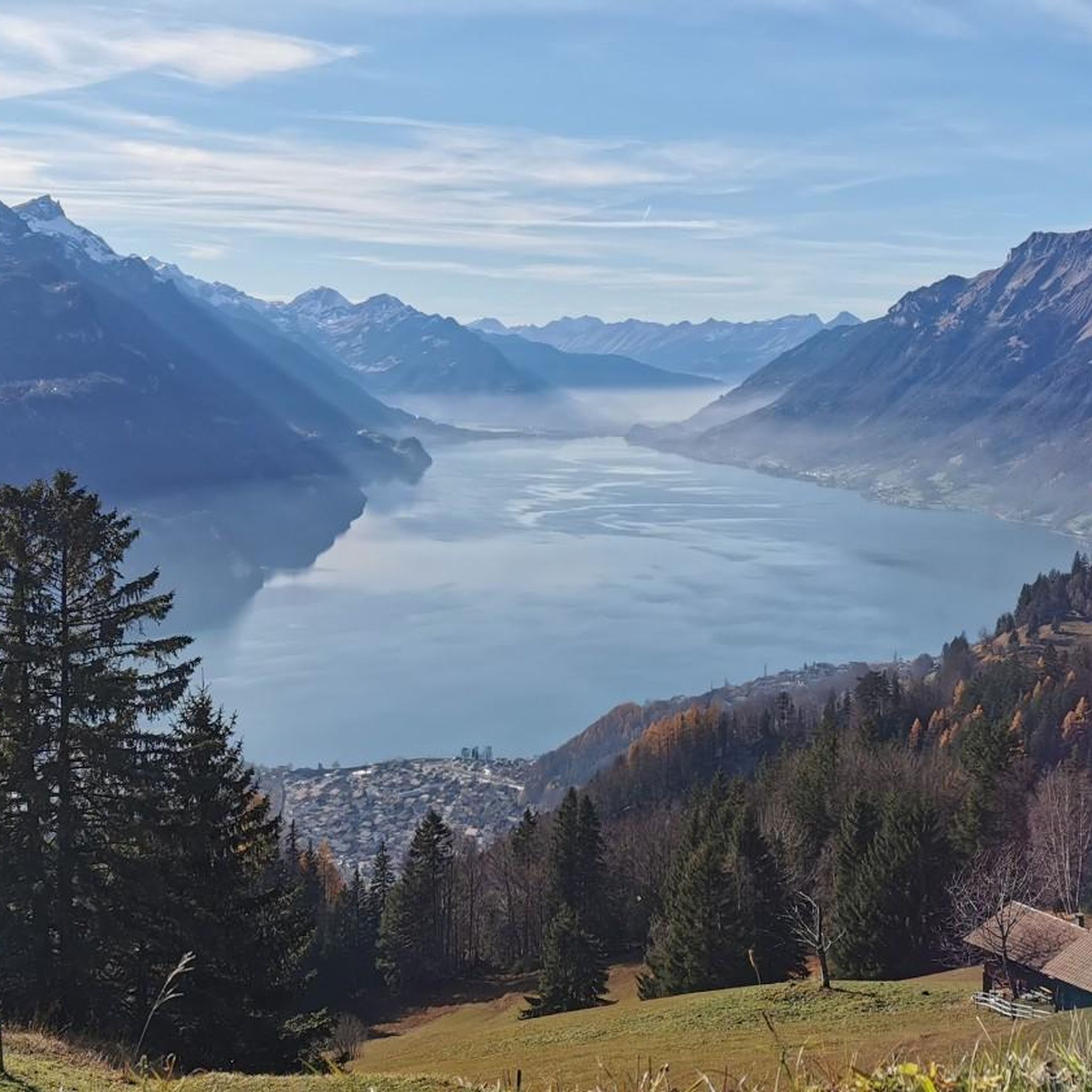
The region is rich in natural beauty. You'll encounter dramatic mountain peaks like Höch Gumme, Arnihaggen, and Wilerhorn, as well as extensive forests. Many routes offer stunning views of Lake Brienz. You might also pass by impressive waterfalls like the Bachalpsee, an idyllic mountain lake, or even the Grätli loop from Giessbachfälle, which is near the famous Giessbach Falls.
Are there any family-friendly mountaineering options near Hofstetten bei Brienz?
While many mountaineering routes are rated difficult, there are some moderate options that might be suitable for families with older, experienced children who are accustomed to mountain hiking. The region offers a mix of terrain, and it's always best to check the specific route details for elevation gain and distance to ensure it matches your family's ability. For example, the Schrattenfluh – Hengst Summit loop from Wagliseichnubel is a moderate option.
Can I bring my dog on the mountaineering trails?
Many trails in the Bernese Oberland are dog-friendly, but it's crucial to keep your dog on a leash, especially in alpine pastures where livestock may be present, and to respect local regulations. Always ensure your dog is fit enough for the chosen route's difficulty and duration, and carry enough water for both of you. Check specific trail information for any restrictions before you go.
What are the typical difficulty levels for mountaineering routes in this area?
Mountaineering routes around Hofstetten bei Brienz are predominantly challenging. Out of the 14 routes recorded, 11 are classified as 'difficult,' often involving significant elevation gains and potentially exposed sections suitable for those with a good head for heights and sure-footedness. There are also 3 'moderate' routes available for those seeking a less strenuous experience.
Are there any mountain huts or restaurants along the routes for refreshments?
Yes, the region has several mountain lodges and restaurants where you can stop for refreshments. For instance, the Alp Breitenfeld – Turren Restaurant loop from Turren leads directly to a mountain restaurant. Other options include the Rossweid Mountain Lodge and Schwarzwaldalp, which are popular stops in the wider area.
What do other mountaineers say about the routes in Hofstetten bei Brienz?
The mountaineering routes in Hofstetten bei Brienz are highly regarded by the komoot community, with an average rating of 4.7 stars from over 20 reviews. Mountaineers frequently praise the dramatic mountain peaks, the serene lakes, and the captivating waterfalls that characterize the region, making for truly rewarding experiences.
Is public transport available to reach trailheads, or is parking usually an option?
Hofstetten bei Brienz is well-connected within the Bernese Oberland. While specific parking availability varies by trailhead, public transport, such as buses, can often take you close to starting points. For example, Lake Brienz is just a 10-minute bus ride away, suggesting good local connectivity. It's advisable to check local transport schedules and parking options for your chosen route in advance.
Are there any specific permits required for mountaineering in this area?
Generally, no specific permits are required for hiking and mountaineering on marked trails in the Bernese Oberland. However, it's always good practice to check for any local regulations or temporary restrictions, especially if you plan to venture into protected areas or during specific seasons. Always respect private land and environmental guidelines.
What are some of the highest peaks accessible via mountaineering routes?
The region around Hofstetten bei Brienz offers access to several significant peaks. Within or adjacent to the municipality, you can find Höch Gumme (2205 m), Arnihaggen (2207 m), and Wilerhorn (2005 m). The Brienzer Rothorn Summit – Brienzer Rothorn loop from Hagleren is another excellent option for reaching a prominent summit.
Most popular routes around Hofstetten bei Brienz
Most popular attractions around Hofstetten bei Brienz

Get inspired with the komoot mobile app


Explore more
Browse the best Mountain Hikes & Routes in other regions.
