The best mountain hikes around Gsteigwiler
4.8
(73)
613
hikers
33
hikes
Mountaineering around Gsteigwiler, a village in the Bernese Oberland of Switzerland, offers access to the dramatic mountain world of the Bernese Alps. The region is characterized by prominent peaks such as the Eiger, Mönch, and Jungfrau, along with the iconic Schynige Platte. Deep valleys are carved by rivers like the Lütschine, and the landscape features diverse geological structures, from rocky paths to alpine meadows. Gsteigwiler serves as a base for exploring the high-altitude terrain and panoramic viewpoints of the Jungfrau…
Last updated: October 9, 2026
4.5
(4)
34
hikers
12.7km
06:11
1,000m
1,000m
Hard mountaineering route. Very good fitness required. Mostly accessible paths. Sure-footedness required.
23
hikers
10.3km
04:59
860m
860m
Moderate mountaineering route. Good fitness required. Mostly accessible paths. Sure-footedness required.

34
hikers
9.91km
05:15
910m
910m
Hard mountaineering route. Very good fitness required. Mostly accessible paths. Sure-footedness required.
4.5
(2)
18
hikers
8.96km
03:53
710m
710m
Moderate mountaineering route. Good fitness required. Mostly accessible paths. Sure-footedness required.
17
hikers
5.73km
02:50
430m
430m
Moderate mountaineering route. Good fitness required. Mostly accessible paths. Sure-footedness required.
Get access to more routes and recommendations from other explorers.
Already have an account?
Our route recommendations are based on thousands of hikes, rides, and runs completed by other people on komoot.
Start today with a free account
Your next adventure awaits.
Tips from the Community

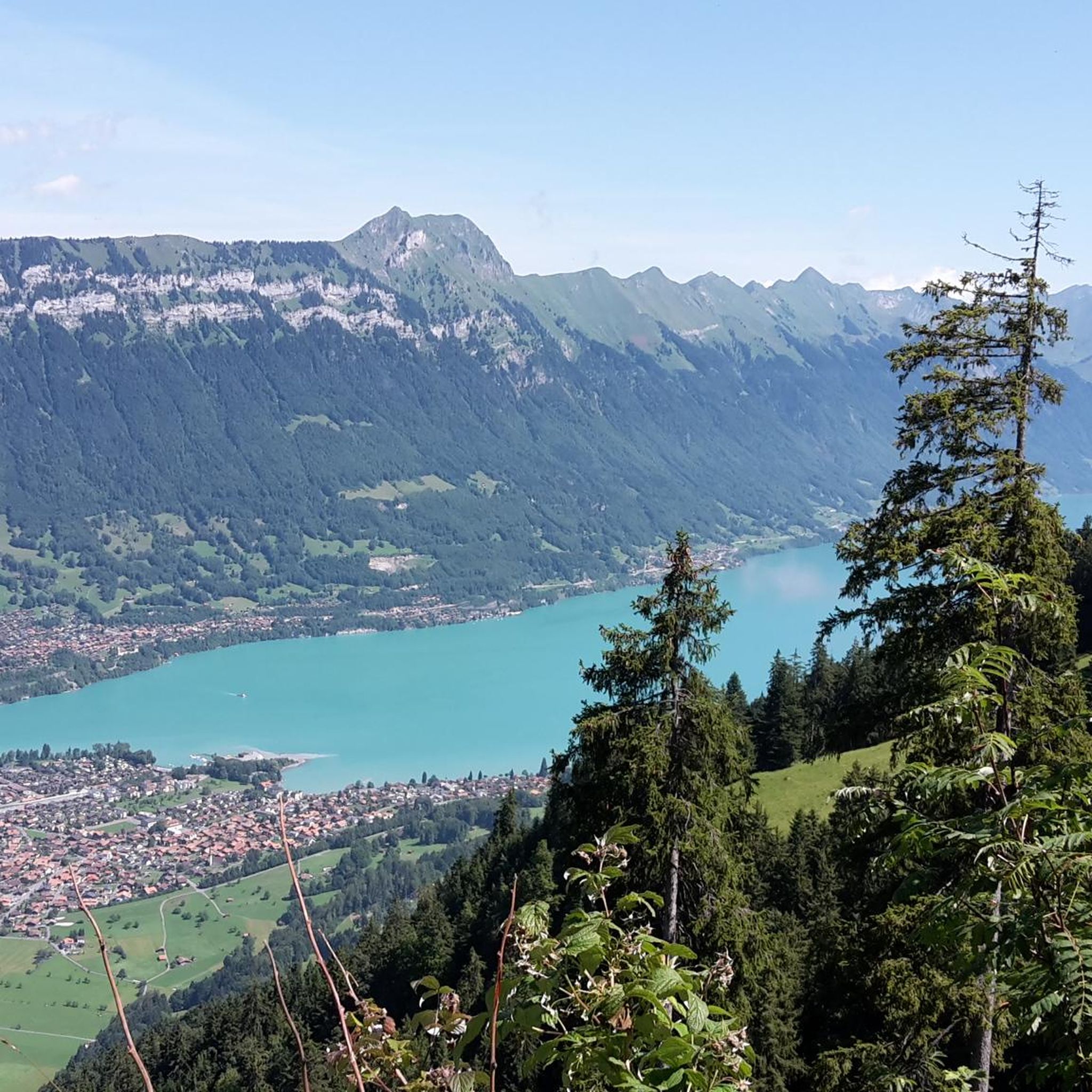
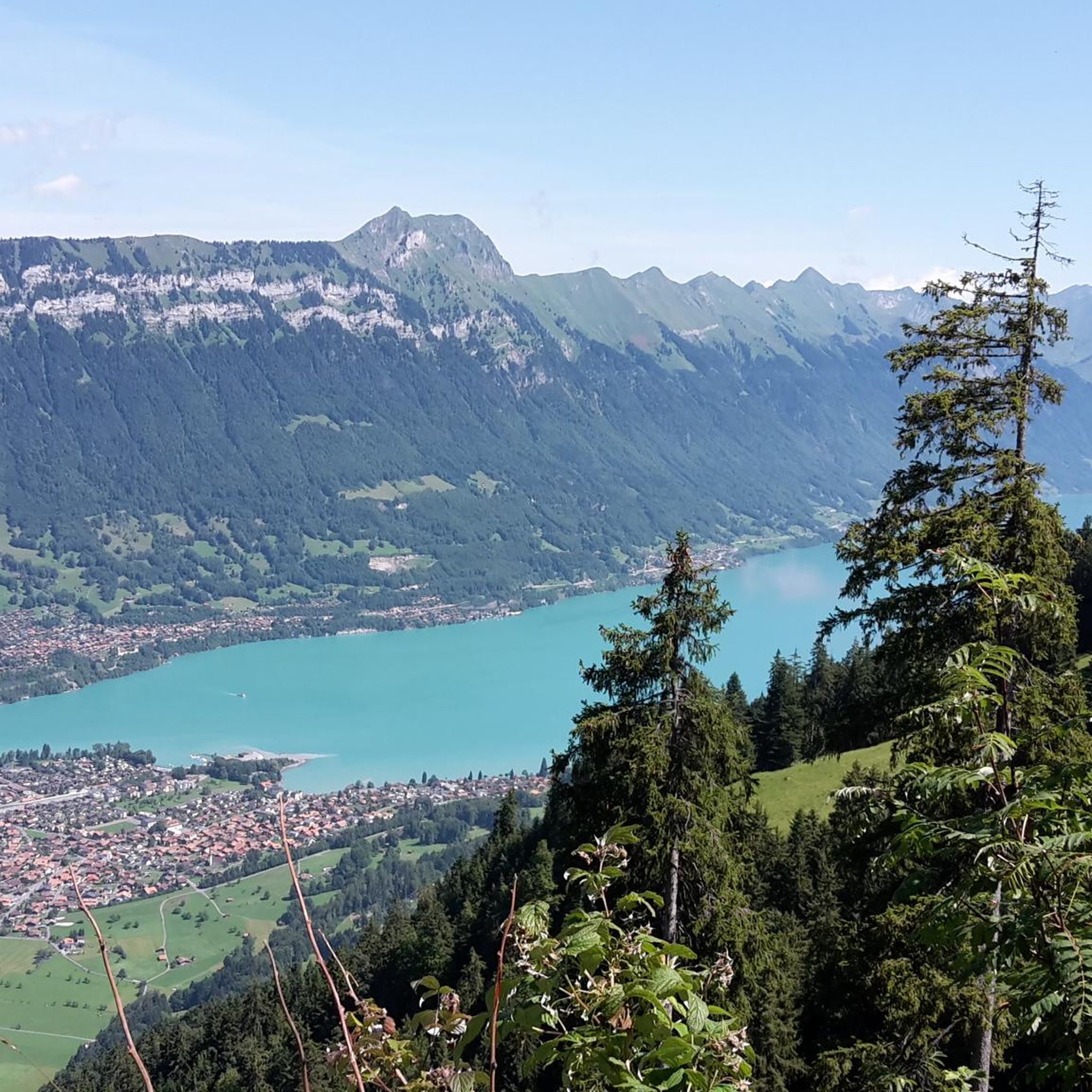
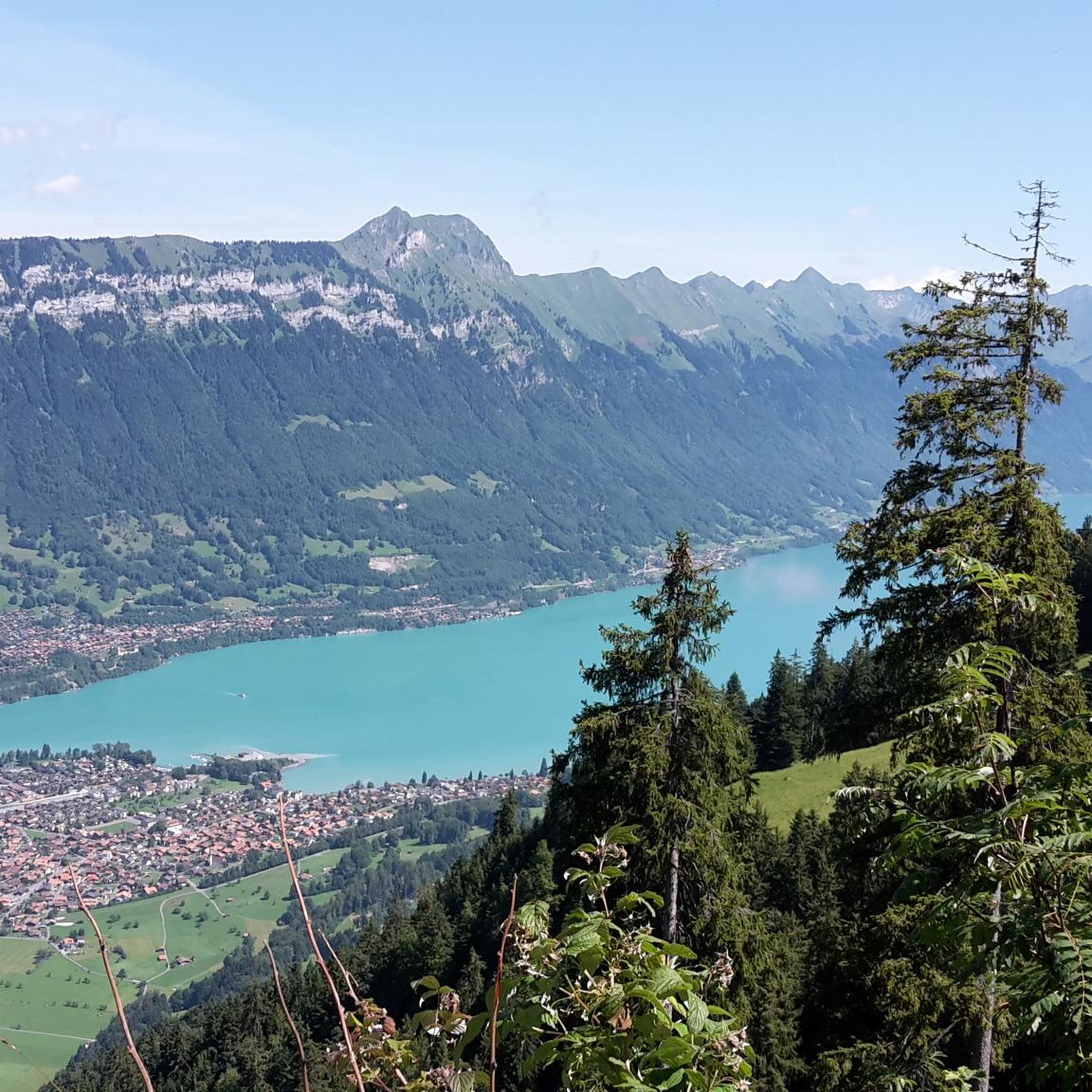
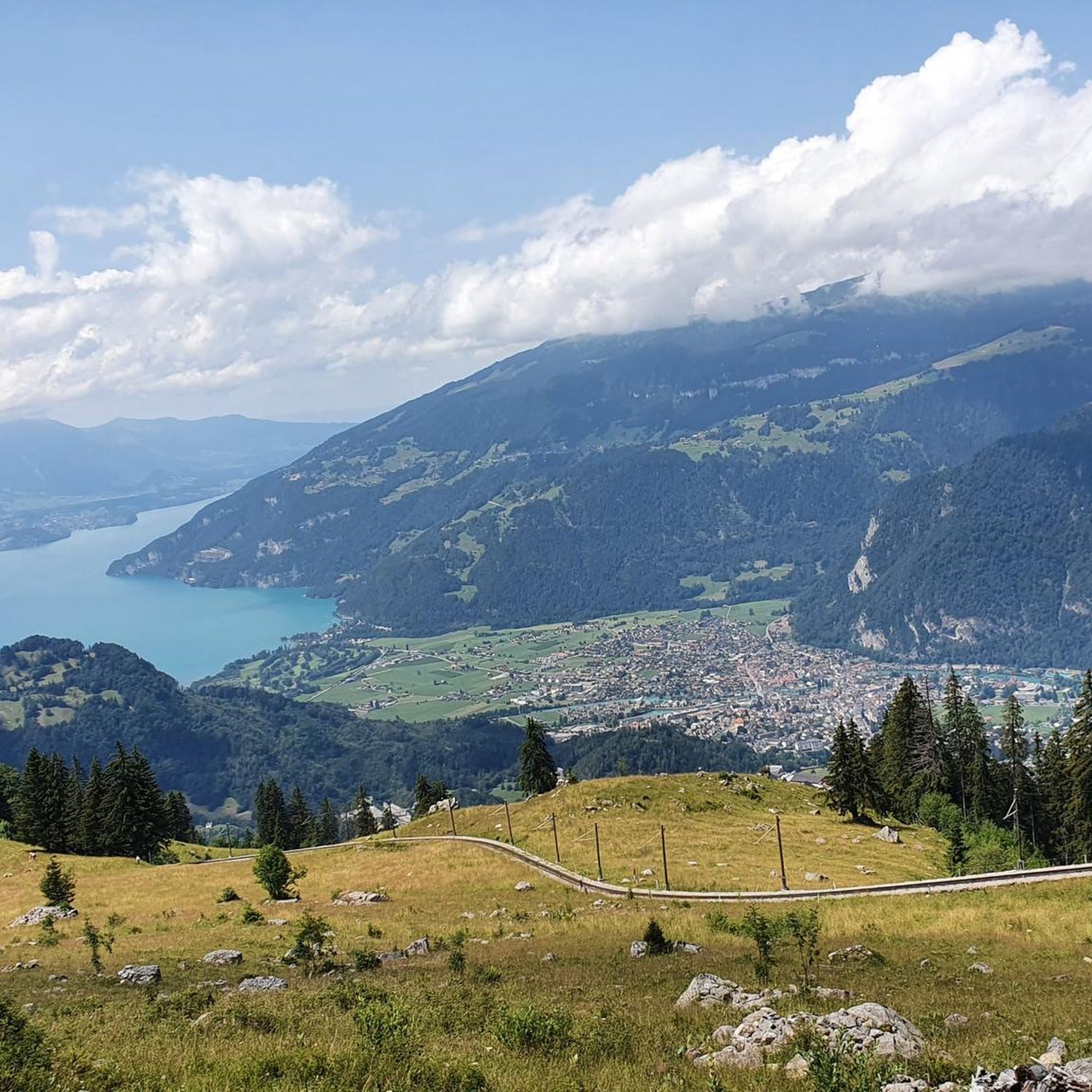
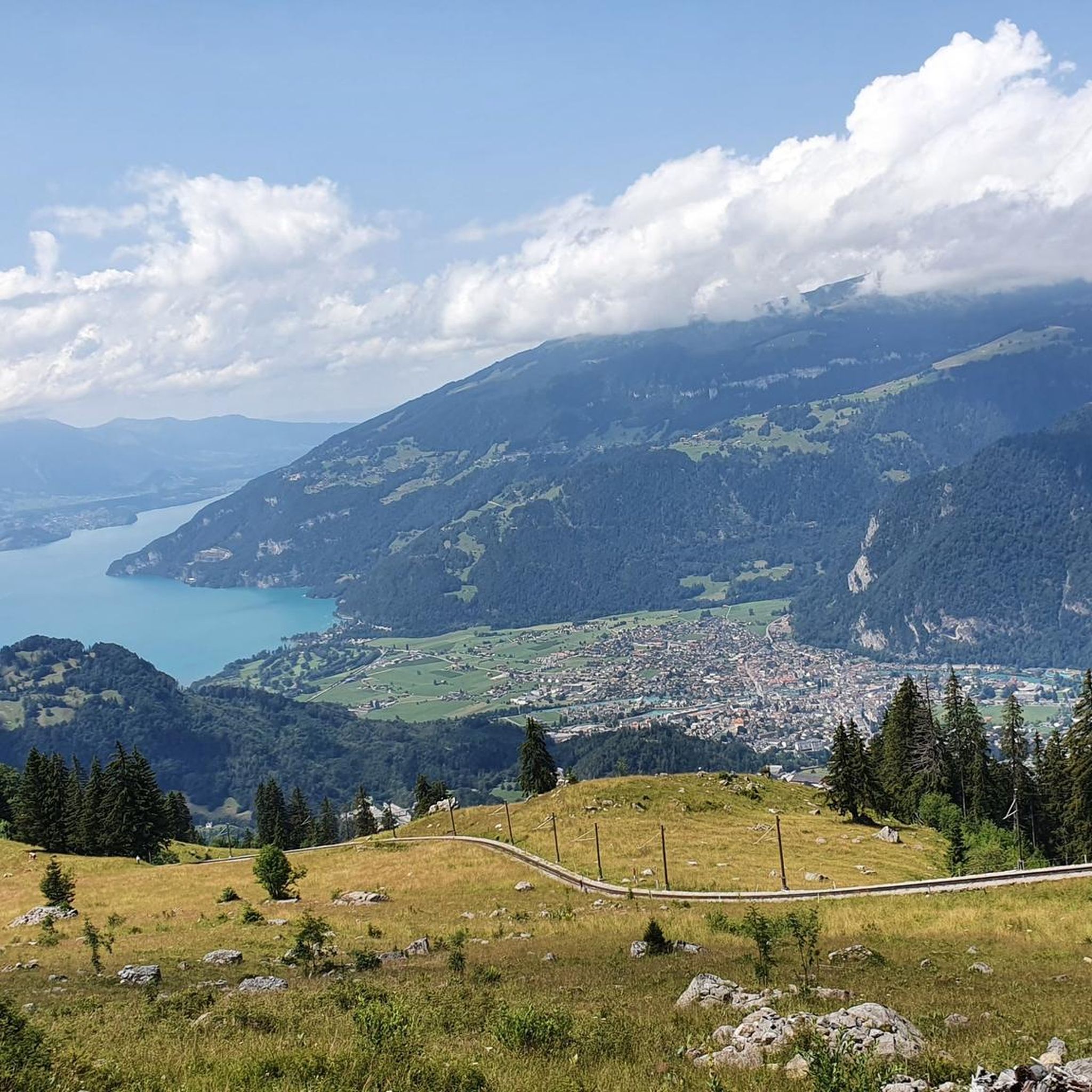
In Interlaken, you should definitely see the Harder Kulm as the local mountain with a viewing platform. From there you can hike the beautiful Hardergrat.
8
0

For those who do not want or cannot walk up here, the train ticket costs 44 CHF per person for a round trip. But it is worth it. In good weather, the view is simply phenomenal. The restaurant has a wide and tasty offer and provides very good service. The viewing platform rounds off the whole experience. The trip and the stay will definitely remain an unforgettable experience.
1
0

Super view of the big Lobhörner
0
0


The tandem paragliders land in the heart of Interlaken. Coachmen invite them on a tourist ride. Many Asians stroll through the city, where it's all about sightseeing and taking selfies.
2
1

Interlaken East Station The station was opened on July 1, 1874 by the then Bödelibahn as the Interlaken Customs House, when it extended its line from the then Interlaken station (now Interlaken-West) to Bönigen. In 1887, the line was extended to Bönigen for a boat connection. The second part of the BB between Interlaken-East and Bönigen turned out to be a flop and was definitely discontinued in 1969. In 1916, the importance of the Interlaken-East station as a transport hub increased again when the last section of the Brünig Railway between Brienz and Interlaken was opened to traffic. The current reception building dates from 1917 and was built when the station's function as a hub increased again with the opening of the Brünig Railway. Today, the reception building is a listed building. https://crowdsourcing.ethz.ch/2018/08/03/eisenbahngeschichte-mit-dampfschiffen-erklaert-interlaken-ca-1862/
13
0

Small, idyllic hut with beautiful views of the Eiger, Mönch and Jungfrau. Authentic atmosphere, delicious food and helpful staff. The sanitary facilities are outside and there is an extra building with 14 beds.
4
0
Frequently Asked Questions
How many mountaineering routes are available around Gsteigwiler?
There are over 35 mountaineering routes around Gsteigwiler. These routes cater to various skill levels, with 14 moderate and 24 difficult options available for exploration.
What is the best time of year for mountaineering in Gsteigwiler?
The best time for mountaineering in Gsteigwiler is generally during the warmer months, from late spring to early autumn. This period offers more stable weather conditions, clear trails, and the opportunity to experience vibrant alpine meadows and panoramic views of peaks like the Eiger, Mönch, and Jungfrau.
Are there any family-friendly mountaineering options in Gsteigwiler?
While many mountaineering routes are challenging, the region around Gsteigwiler also offers easier walks and access points via cable cars and cogwheel trains, such as the historic Schynige Platte Railway. These can provide a more accessible mountain experience for families, allowing them to enjoy stunning views without undertaking highly strenuous climbs. Look for routes with lower elevation gain and shorter distances.
Can I bring my dog on mountaineering routes near Gsteigwiler?
Many trails in the Bernese Oberland are dog-friendly, but it's always advisable to check specific route regulations, especially in nature reserves or areas with livestock. Ensure your dog is well-behaved, kept on a leash where required, and that you carry enough water for both of you. Some routes may involve challenging terrain or sections with ladders where dogs might struggle.
Are there circular mountaineering routes available?
Yes, Gsteigwiler offers several circular mountaineering routes. For example, the Lobhornhütte – Lobhörner loop from Gündlischwand is a challenging 7.9-mile loop offering expansive views. Another option is the Mountaineering loop from Schynige Platte, a moderate 3.6-mile route that provides stunning vistas.
What kind of terrain can I expect on these mountaineering routes?
The terrain around Gsteigwiler is diverse, ranging from rocky paths and massive boulders to vibrant alpine meadows. You can expect significant elevation changes, with routes like the Sulsbach Bridge – Lobhornhütte loop from Gündlischwand featuring over 850 meters of ascent. The region is characterized by the dramatic mountain world of the Bernese Alps, so be prepared for varied and often challenging conditions.
Are there any moderate routes suitable for beginners in mountaineering?
Yes, there are moderate routes that can be suitable for those with some hiking experience looking to venture into mountaineering. The Sulsbach Bridge – Lobhornhütte loop from Gündlischwand is a moderate 6.4-mile path traversing alpine terrain. Another moderate option is the Harderkulm Hut – Harder Kulm loop from Interlaken Ost, which is 5.5 miles long.
What notable landmarks or viewpoints can I see along the routes?
The region is rich in natural landmarks and viewpoints. From the Schynige Platte, you can enjoy breathtaking panoramic views of the Eiger, Mönch, and Jungfrau peaks, as well as Lake Thun and Lake Brienz. Other notable highlights include the Bachalpsee, a picturesque alpine lake, and the Two lakes footbridge - Harder Kulm viewing platform, offering spectacular vistas.
How do other mountaineers rate the routes in Gsteigwiler?
The mountaineering routes in Gsteigwiler are highly regarded by the komoot community, holding an impressive average rating of 4.8 stars from over 60 reviews. Mountaineers often praise the stunning panoramic views, the challenging yet rewarding terrain, and the immersive experience in the heart of the Bernese Alps.
How can I access the trailheads using public transport?
Gsteigwiler is well-connected within the Bernese Oberland. Public transport, including trains and buses, can take you to nearby towns like Interlaken or Gündlischwand, which serve as starting points for many routes. From there, you might use local buses or even cogwheel trains, such as the one ascending to Schynige Platte, to reach higher trailheads. Always check local timetables for the most current information.
Are there any mountaineering routes that take approximately 5 hours to complete?
Yes, for those looking for a route around the 5-hour mark, the Sulsbach Bridge – Lobhörner loop from Gündlischwand is a challenging 6.2-mile trail that typically takes about 5 hours and 14 minutes to complete, leading through demanding mountain landscapes.
Where can I find parking for these mountaineering routes?
Parking is generally available in Gsteigwiler and at common starting points for routes, such as Gündlischwand or Interlaken. Specific parking areas are often signposted near popular trailheads. It's advisable to arrive early, especially during peak season, as spaces can fill up quickly. Some areas may require a fee for parking.
Are there any waterfalls or lakes to see along the routes?
The region boasts beautiful natural water features. While directly on mountaineering routes, you might encounter smaller alpine streams and tarns, the wider area is home to impressive sights like the Trümmelbach Falls and Staubbach Falls. Additionally, the picturesque Lake Brienz and Lake Thun are only about a 15-minute drive from Gsteigwiler, offering scenic views and boat trips.
Are there any cafes or places to eat near the mountaineering routes?
Yes, you'll find various options for refreshments. Many mountain huts, like the Lobhornhütte, offer food and drink. Towns and villages near trailheads, such as Interlaken or Gündlischwand, have cafes, restaurants, and shops where you can refuel before or after your mountaineering adventure. The Harderkulm Hut, accessible via the Harderkulm Hut – Harder Kulm loop from Interlaken Ost, is another spot for a break with a view.
Most popular routes around Gsteigwiler
Most popular attractions around Gsteigwiler

Get inspired with the komoot mobile app


Explore more
Browse the best Mountain Hikes & Routes in other regions.
