The best walks and hikes around Baraigne
4.6
(64)
609
hikers
46
hikes
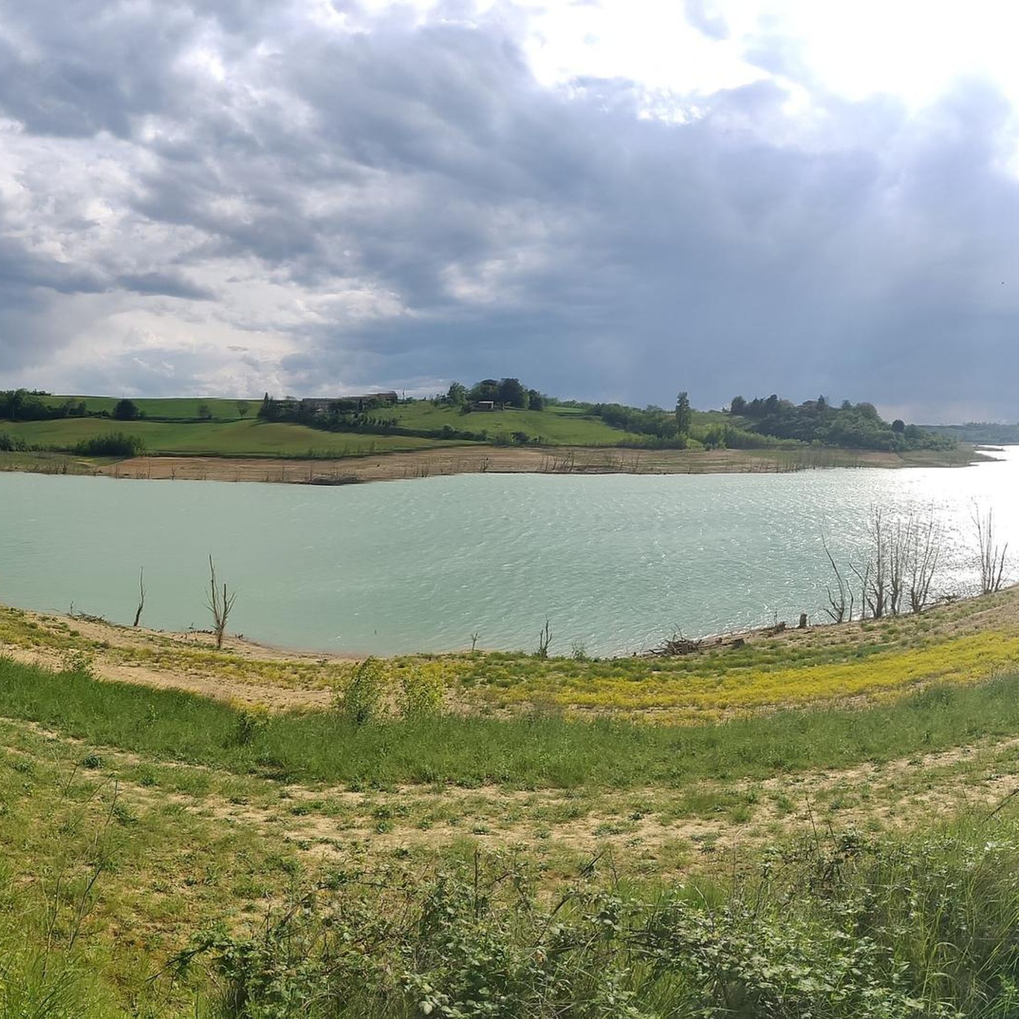
Hiking trails around Baraigne offer a diverse landscape characterized by a mix of plateaus, hills, and agricultural land interspersed with forests. The region features thick limestone layers, contributing to varied relief, and is influenced by the Fresquel river and the Ruisseau de Labexen, which leads to the artificial Lac de la Ganguise. This topography provides a range of environments for outdoor exploration.
Best hiking trails around Baraigne
- The most popular hiking route is Belflou Castle loop from Belflou, a…
Last updated: October 7, 2026
4.5
(6)
36
hikers
7.48km
02:03
110m
120m
Moderate hike. Good fitness required. Easily-accessible paths. Suitable for all skill levels.
4.3
(3)
16
hikers
Moderate hike. Good fitness required. Easily-accessible paths. Suitable for all skill levels.

4.0
(1)
15
hikers
5.45km
01:32
110m
110m
Easy hike. Great for any fitness level. Easily-accessible paths. Suitable for all skill levels.
15
hikers
7.47km
01:55
30m
30m
Easy hike. Great for any fitness level. Easily-accessible paths. Suitable for all skill levels.
4.0
(1)
11
hikers
5.36km
01:22
20m
20m
Easy hike. Great for any fitness level. Easily-accessible paths. Suitable for all skill levels.
Get access to more routes and recommendations from other explorers.
Already have an account?
Our route recommendations are based on thousands of hikes, rides, and runs completed by other people on komoot.
Start today with a free account
Your next adventure awaits.

Tips from the Community

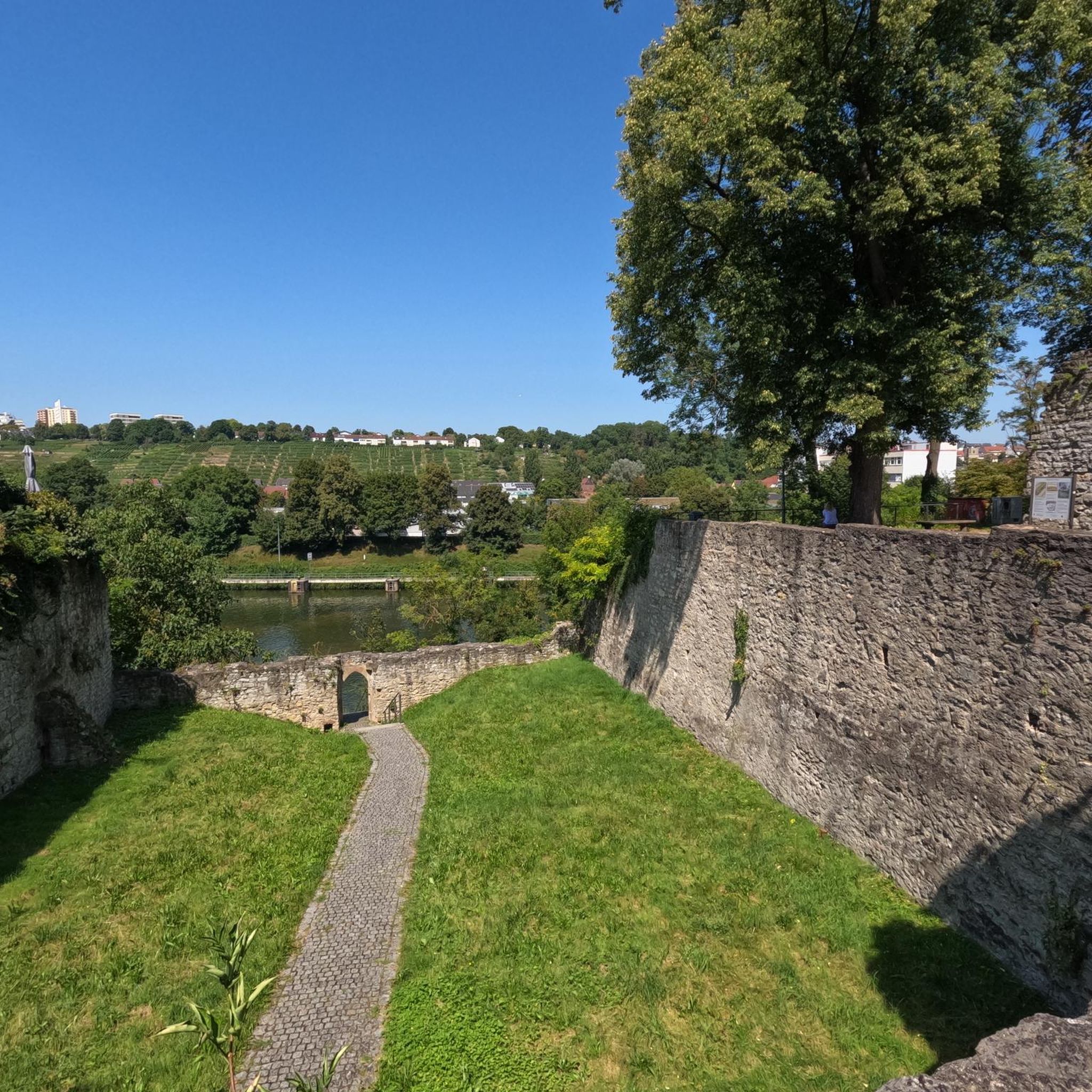
To visit: Naurouze (Water divide on the Canal du Midi, plane tree alley, octagonal basin, Ocean lock...). Archaeological site from the 3rd and 4th centuries (thermae, sarcophagi...). Heights of the Village (Aéropostale Lighthouse, Chappe telegraph tower, 14th-century castle gate, belvedere).
0
0
To visit: Naurouze (Watershed on the Canal du Midi, plane tree alley, octagonal basin, Ocean lock...). Archaeological site from the 3rd and 4th centuries (thermae, sarcophagi...). Hauts du Village (Aéropostale Lighthouse, Chappe telegraph tower, 14th-century castle gate, viewpoint).
0
0
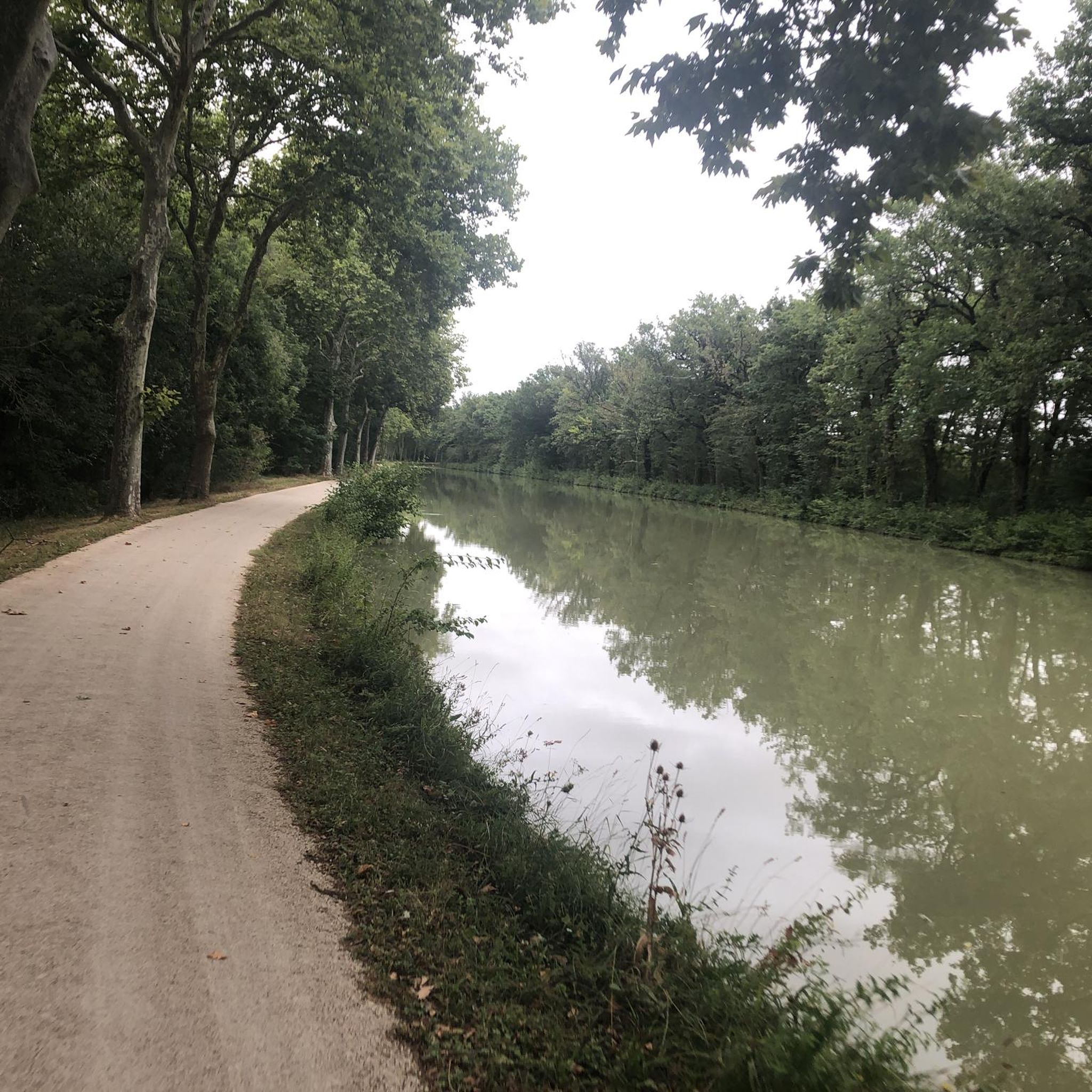
The Canal du Midi, formerly Canal Royal, is a 17th-century technical feat designed by Pierre-Paul Riquet to connect the Atlantic to the Mediterranean. Today, it is above all a place for relaxation and discovery, where heritage, nature, and conviviality blend together.
0
0
It is sometimes called the Naurouze lock because it is the closest lock to the Naurouze threshold. The Ocean lock marks the beginning of the ascending section of the canal when going from west to east.
0
0
In May 1787, Thomas Jefferson — then future President of the United States and ambassador to France — traveled along the Canal du Midi. Commemorative plaques mark his historic passage, notably on the lock house of the Ocean lock (Montferrand / Négra) and in the village of Le Somail.
0
0
Le Seuil de Naurouze is a strategic location in the operation and water supply of the Canal du Midi. The highest point on the canal's route, it is the birthplace as a watershed. Framed by the Ocean lock and the Mediterranean lock, it is from this site that the waters carried by the Rigole de la Plaine are distributed from one slope to the other.
0
0
The Seuil de Naurouze is a strategic location in the operation and water supply of the Canal du Midi. The highest point on the canal's route, it is the birthplace as a watershed. Flanked by the Ocean lock and the Mediterranean lock, it is from this site that the waters carried by the Rigole de la Plaine are distributed from one slope to the other.
0
0
The Naurouze Mill is a flour mill built in 1670 on the feeding channel of the Canal du Midi (a UNESCO World Heritage historic monument) and which evolved into an industrial mill between 1844 and 1985.
0
0
Frequently Asked Questions
How many hiking trails are available around Baraigne?
There are nearly 50 hiking trails around Baraigne, offering a diverse range of experiences. You'll find routes suitable for various fitness levels, including 21 easy, 24 moderate, and 3 difficult options.
What kind of terrain can I expect on hikes near Baraigne?
The terrain around Baraigne is quite varied, characterized by plateaus, rolling hills, and agricultural land interspersed with forests. The region is part of the 'La Piège' and Lauragais Plateau, featuring distinctive thick limestone layers. You'll encounter a mix of open fields, wooded paths, and trails alongside waterways like the Rigole de la Plaine and the Canal du Midi.
Are there any easy, family-friendly hikes in the area?
Yes, there are several easy hikes perfect for families. An excellent option is the Château de Molleville loop from Molleville, which is an easy 4.8 km route. This trail offers a pleasant walk through the local countryside.
Can I find circular hiking routes around Baraigne?
Absolutely. Many of the trails around Baraigne are circular, allowing you to start and end at the same point. For example, the Belflou Castle loop from Belflou is a moderate 7.4 km circular route that explores the local countryside and historical features.
What natural features or landmarks can I see while hiking near Baraigne?
Hikers can enjoy diverse natural features and historical landmarks. You'll find unique limestone formations, views of distant mountain ranges like the Montagne Noire and Pyrenees on clear days, and picturesque waterways. Notable points of interest include the historic Canal du Midi, the Écluse de l'Océan, and the Grand Bassin in Castelnaudary.
Are there any hikes that follow the Canal du Midi?
Yes, the Canal du Midi is a prominent feature in the region, offering extensive walking paths along its towpaths. A great option is the Old Naurouze Basin – Canal du midi loop from Montferrand, a moderate 12.8 km path that directly follows sections of this historic waterway.
What do other hikers say about the trails in Baraigne?
The trails around Baraigne are highly regarded by the komoot community, with an impressive average rating of 4.5 out of 5 stars from over 50 reviews. Hikers often praise the varied terrain, the scenic views of the Lauragais landscape, and the well-maintained paths that offer a mix of agricultural plains, forests, and canal-side walks.
Are there any routes that offer panoramic views?
Many routes in the hilly and plateau terrain around Baraigne offer excellent panoramic views. From various vantage points in the La Piège and Lauragais regions, you can enjoy picturesque views of the surrounding countryside, including fields of sunflowers, and on clear days, glimpses of the distant Montagne Noire and the majestic Pyrenees.
What is the best time of year to go hiking in Baraigne?
The region experiences influences from Mediterranean, oceanic, and mountainous climates. Spring and autumn generally offer the most pleasant conditions for hiking, with milder temperatures and beautiful scenery. Summer can be warm, but shaded paths along waterways like the Rigole de la Plaine or the Canal du Midi provide cooler options. Winter hikes are also possible, offering a different perspective of the landscape.
Are there any specific routes that explore the Naurouze area?
Yes, the Naurouze area is a popular spot for hikers. You can explore it on the Naurouze Summit – Old Naurouze Basin loop from Montferrand, a moderate 9.1 km trail that takes you through this historically significant area.
Can I find trails that are suitable for mountain biking or horseback riding?
While this guide focuses on hiking, the La Piège region, where Baraigne is located, is known for its extensive network of paths suitable for walking, mountain biking, or horseback riding. The diverse scenery, from verdant to drier landscapes, makes it appealing for various outdoor activities.
Most popular attractions around Baraigne

Get inspired with the komoot mobile app


Explore more
Browse the best Hikes in other regions.
