The best mountain hikes around Maladers
5.0
(2)
35
hikers
2
hikes
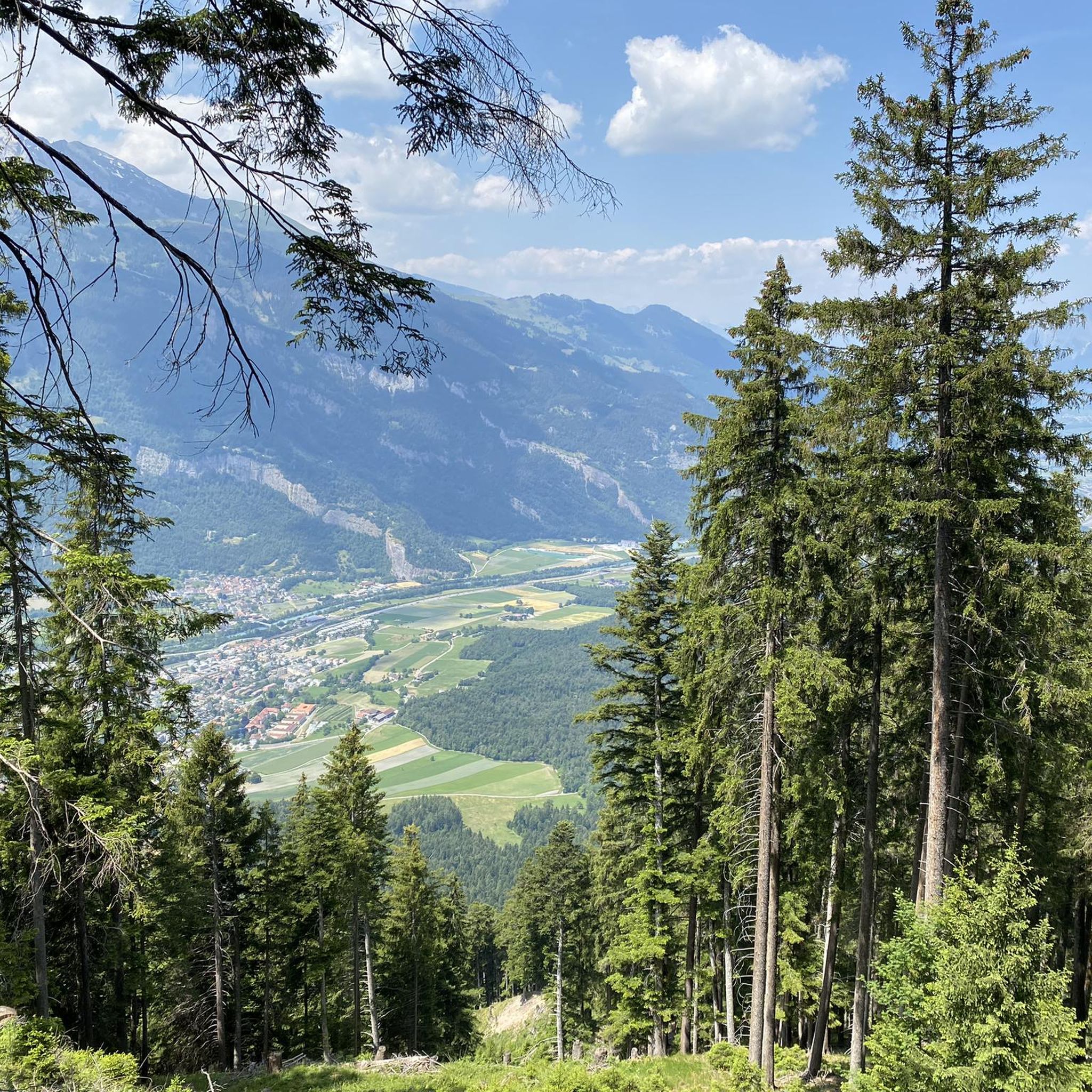
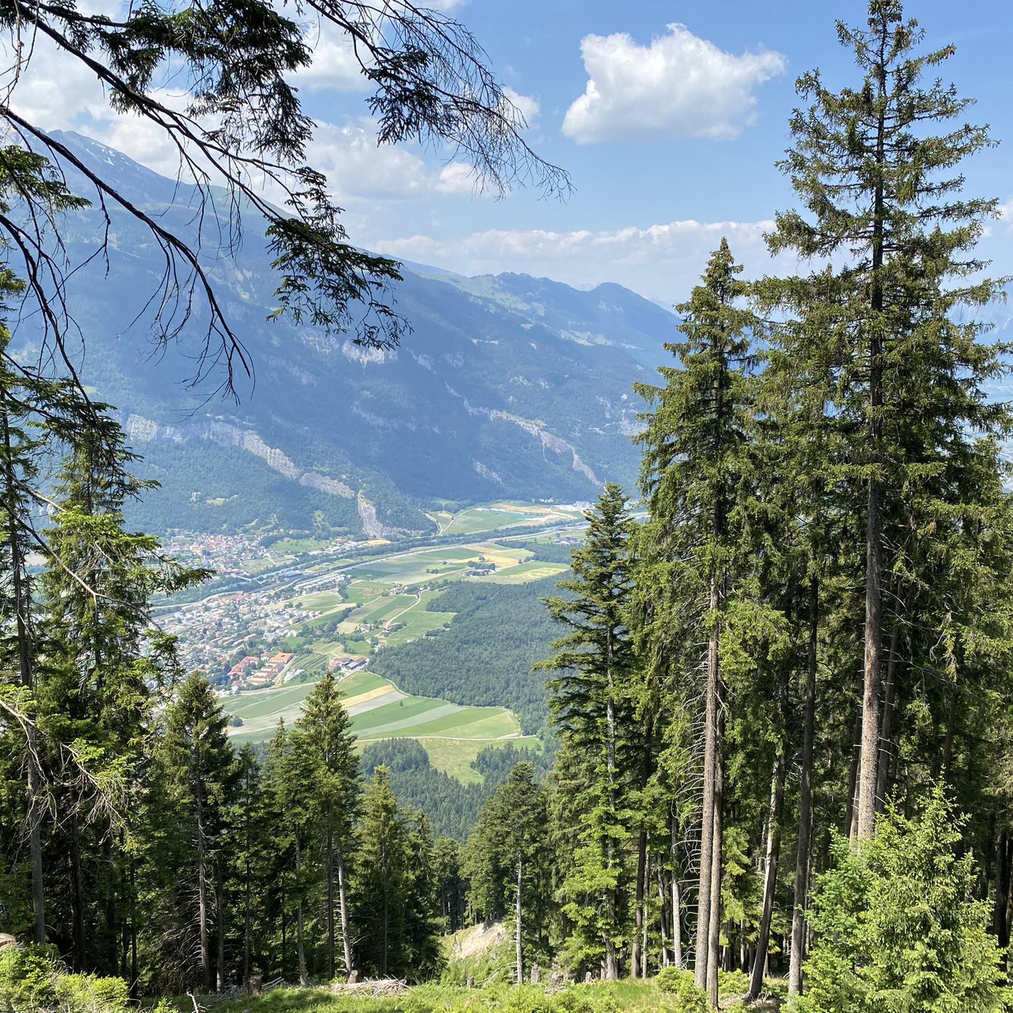
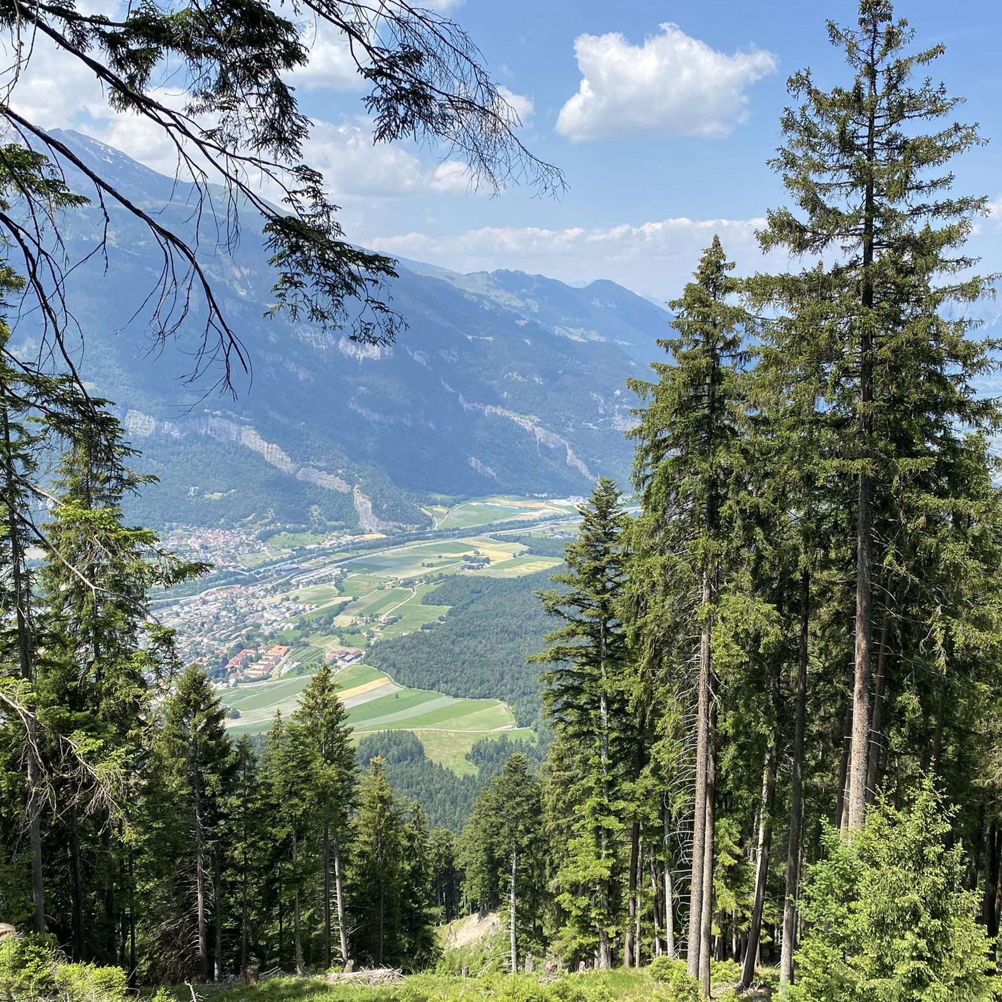
Mountaineering routes around Maladers are situated within the majestic Graubünden mountains, offering a dramatic alpine environment. The region is characterized by extensive forested land and alpine grazing areas, providing a diverse backdrop for outdoor activities. Prominent peaks and rugged terrain define the landscape, with elevated points offering expansive views of the Chur Rhine Valley.
Best mountaineering routes around Maladers
- The most popular mountaineering route is Calanda Hut – Calanda Summit loop from Hintere Alp, a 8.1 miles (13.0 km)…
Last updated: July 7, 2026
23
hikers
12.9km
06:56
1,020m
1,020m
Hard mountaineering route. Very good fitness required. Sure-footedness, sturdy shoes and alpine experience required.
2
hikers
11.0km
04:05
560m
560m
Moderate mountaineering route. Good fitness required. Mostly accessible paths. Sure-footedness required.

Sign up for free
2
hikers
18.6km
07:51
1,200m
1,200m
Hard mountaineering route. Very good fitness required. Sure-footedness, sturdy shoes and alpine experience required.
Our route recommendations are based on thousands of hikes, rides, and runs completed by other people on komoot.
Start today with a free account
Your next adventure awaits.
Login or Signup
Tips from the Community


nice connection from Dark side of the Moon to Alplisee
0
0

Highly recommended: Hörnlihütte with regional products and friendly staff.
1
0

beautiful, crystal-clear mountain lake; you can also swim if you can stand the temperature
0
0

Beautiful local recreation area. Definitely worth a visit 😉.
0
0

Gredigs Fürggli is the name of this wide and scenic mountain pass between Arosa and Lenzerheide. The easiest way to reach it by mountain bike is via the Stivetta cable car. The Älplisee Trail down to Arosa begins at Gredigs Fürggli.
1
0

The snowshoe trail takes you through the deep snow of this magical winter wonderland.
0
0

There are great things to do in Arosa, not only in winter but also in summer ;-)
0
1
Frequently Asked Questions
What kind of terrain can I expect on mountaineering routes around Maladers?
The mountaineering routes around Maladers are set within the majestic Graubünden mountains, characterized by a dramatic alpine environment. You'll encounter rugged terrain, extensive forested areas, and alpine grazing lands. Elevated points frequently offer expansive views of the Chur Rhine Valley.
Are there any moderate mountaineering routes available near Maladers?
Yes, while many routes are challenging, there is a notable moderate option. Consider the Dreibündenstein Monument – Furggabüel loop from Malix. This 11 km trail leads through varied mountain landscapes and typically takes about 4 hours 5 minutes to complete, with an elevation gain of around 560 meters.
What are some of the most challenging mountaineering routes in the Maladers area?
For experienced mountaineers seeking a challenge, routes like the Calanda Hut – Calanda Summit loop from Hintere Alp offer significant elevation gain towards the Calanda Summit, covering 13 km with over 1000 meters of ascent. Another demanding option is the Parpaner Rothorn – Aroser Rothorn Summit loop from Arosa, which is nearly 19 km long with almost 1200 meters of climbing.
Are there any circular mountaineering routes starting near Maladers?
Yes, several routes are designed as loops, allowing you to return to your starting point. Examples include the challenging Calanda Hut – Calanda Summit loop from Hintere Alp and the moderate Dreibündenstein Monument – Furggabüel loop from Malix. These provide a comprehensive experience of the local mountain scenery.
What are some notable landmarks or viewpoints I can encounter on mountaineering routes around Maladers?
The region is rich with natural and historical landmarks. You can find the historic Dreibündenstein Monument, which was once a triple border point. The Weisshorn Summit (2,653 m) offers breathtaking panoramic views, and the Ochsenalp Mountain Hut provides a welcoming stop amidst the mountains.
What do other mountaineers say about the routes in Maladers?
The mountaineering routes in Maladers are highly regarded by the komoot community, boasting an average rating of 5.0 stars from excellent reviews. More than 30 mountaineers have explored the varied terrain, often praising the dramatic alpine scenery and the challenging yet rewarding ascents.
Are there any mountain huts accessible along the mountaineering routes?
Yes, the Ochsenalp Mountain Hut, perched at 1,936 meters, is a welcoming stop for hikers and bikers. It allows you to rest and immerse yourself in the mountainous surroundings, making it a great point for a break or even an overnight stay on longer tours.
Can I find routes that offer expansive views of the Chur Rhine Valley?
Absolutely. Many elevated points and trails around Maladers, including those leading towards the Mittenberg, provide impressive and expansive vistas of the Chur Rhine Valley and the surrounding peaks. The dramatic alpine environment ensures stunning views throughout your journey.
What is the typical duration for a mountaineering route in this area?
The duration varies significantly based on difficulty and distance. For instance, a moderate route like the Dreibündenstein Monument – Furggabüel loop from Malix can take around 4 hours. More challenging routes, such as the Calanda Hut – Calanda Summit loop from Hintere Alp, typically require closer to 7 hours to complete.
Are there any routes that traverse mountain passes near Maladers?
Yes, the region features several mountain passes that are part of or accessible from mountaineering routes. You might encounter passes like Arflinafurgga or Gredigs Fürggli, offering unique alpine experiences and often spectacular views.
What kind of natural features define the mountaineering experience in Maladers?
The mountaineering experience in Maladers is defined by the dramatic Graubünden mountains, prominent peaks like the Weisshorn, and an extensive network of trails winding through forested land and alpine grazing areas. You'll encounter rugged terrain, offering a true alpine adventure.
Most popular attractions around Maladers

Get inspired with the komoot mobile app


Explore more
Browse the best Mountain Hikes & Routes in other regions.
