The best running trails around Cazavet
4.3
(24)
1,181
runners
124
runs
Jogging around Cazavet offers a diverse range of terrain within the Ariège department of the Occitanie region in France. The area is characterized by rolling hills, varied elevations, and a mix of natural paths, providing options for different running preferences. The proximity to the Pyrenees and the Arize massif offers challenging routes with panoramic views, while the "Voie Verte du Piémont Pyrénéen (V81)" provides accessible, gently sloping paths. Extensive forests and valleys, such as the Salat basin, contribute to a…
Last updated: July 3, 2026
23
runners
28.3km
03:38
830m
830m
Hard run. Very good fitness required. Sure-footedness, sturdy shoes and alpine experience required.
4.0
(1)
9
runners
14.0km
01:38
310m
310m
Hard run. Very good fitness required. Mostly paved surfaces. Suitable for all skill levels.

Sign up for free
15
runners
Hard run. Very good fitness required. Mostly paved surfaces. Suitable for all skill levels.
10
runners
9.34km
01:19
420m
420m
Hard run. Very good fitness required. Mostly paved surfaces. Suitable for all skill levels.
8
runners
12.8km
01:20
40m
40m
Moderate run. Good fitness required. Mostly paved surfaces. Suitable for all skill levels.
Get access to more routes and recommendations from other explorers.
Sign up for free
Already have an account?
Our route recommendations are based on thousands of hikes, rides, and runs completed by other people on komoot.
Start today with a free account
Your next adventure awaits.
Login or Signup


Tips from the Community

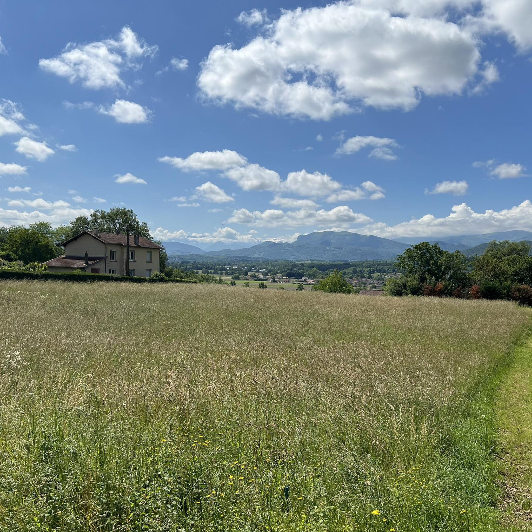
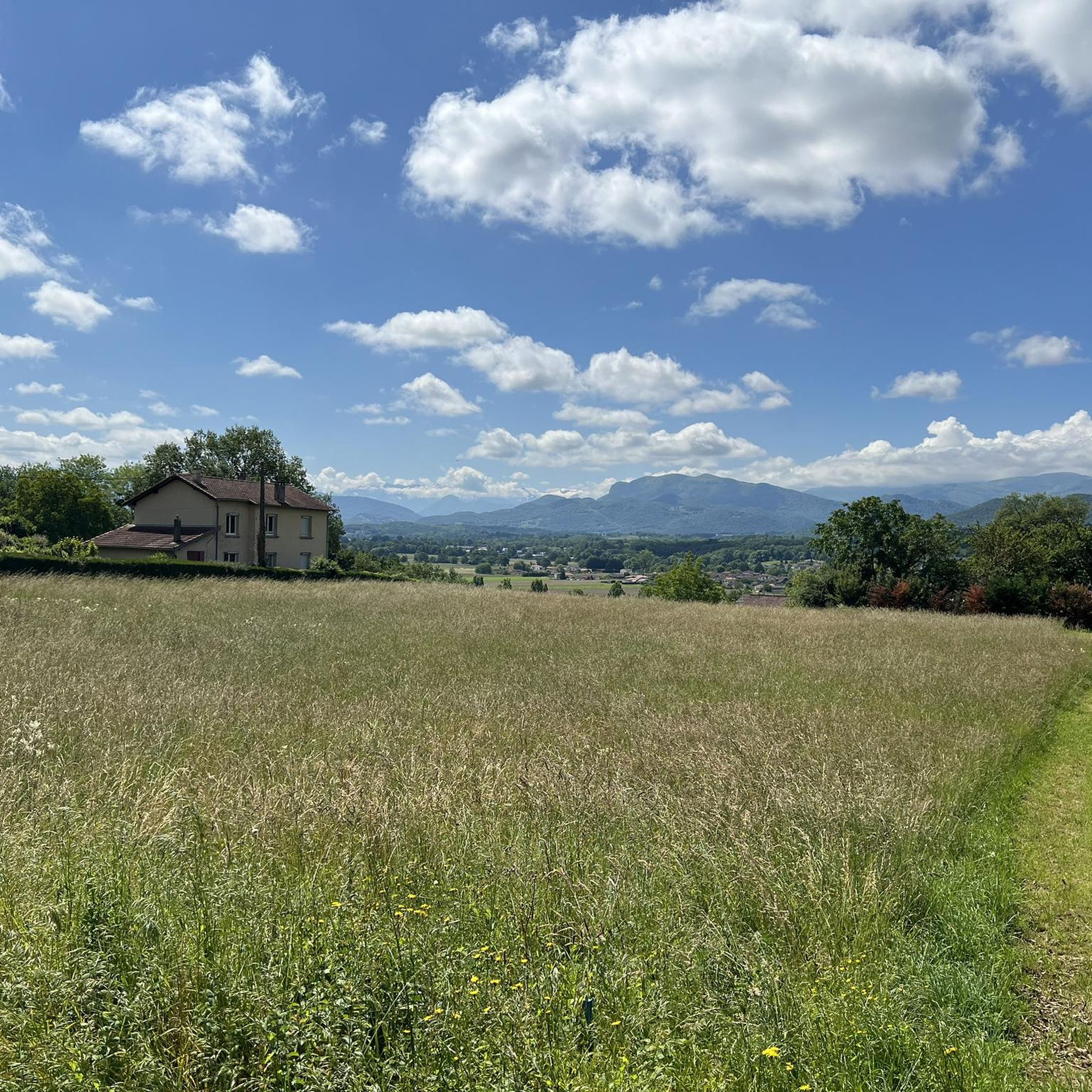
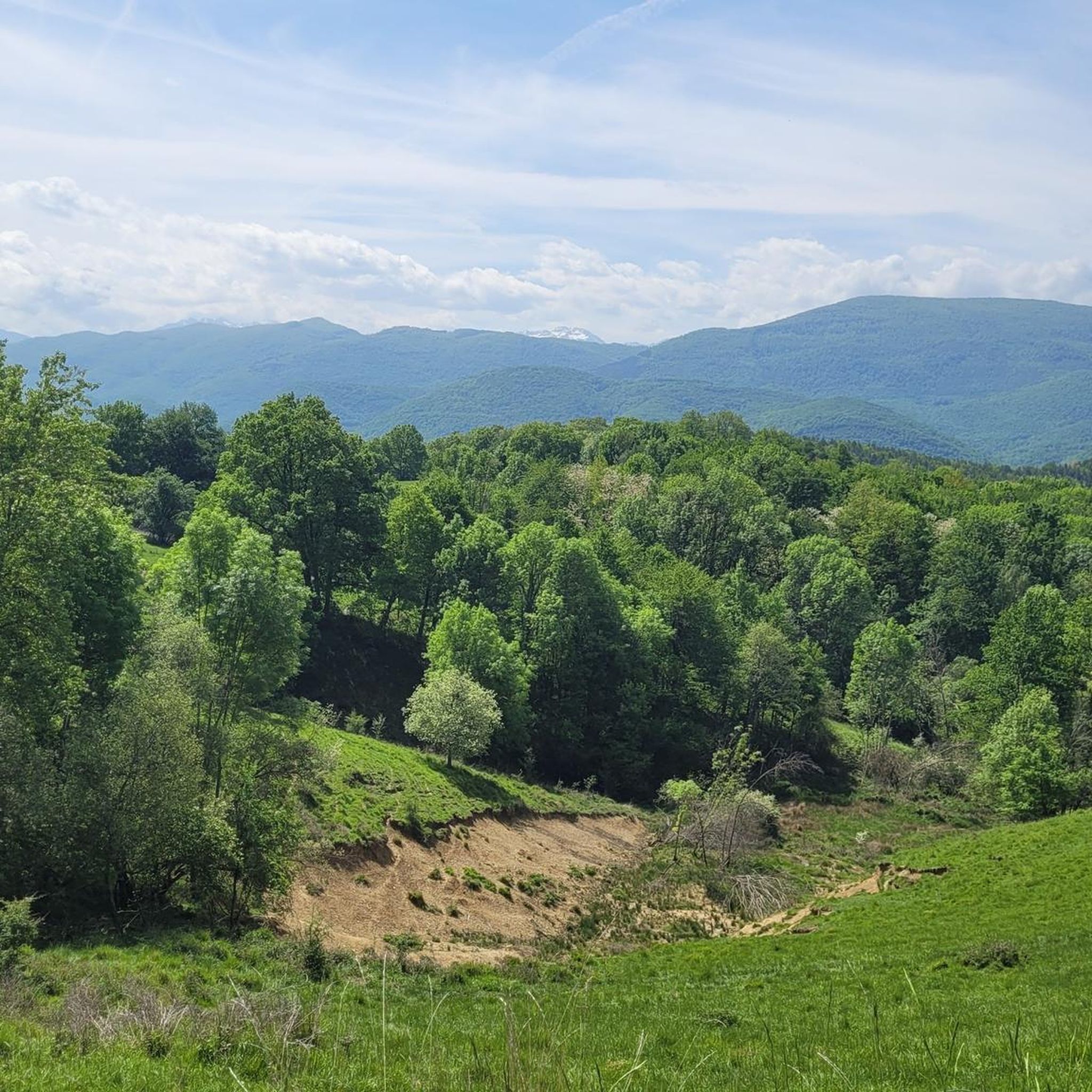
one of the most beautiful views of our Pyrenees
1
0

Incredible 360° views of the Ariège. Perfect picknick spot.
1
0

Magnificent view of the historic center, with the river it makes a magnificent landscape. A bit of a shame that there is the main road not far away with the incessant noise of cars... but it's still worth it!
0
0


The Notre-Dame-de-l'Assomption church in Montjoie-en-Couserans is a remarkable religious building, which dates from the 12th century. This church, in Romanesque style, is distinguished by its sculpted portal and its characteristic bell tower-wall. Inside, you can admire medieval frescoes and ancient liturgical furniture.
0
0
Nestled in Ariège, Saint-Lizier offers a dive into the past with its preserved medieval heritage. Ranked among the most beautiful villages in France, it seduces with its cathedral and its frescoes. Formerly an episcopal seat and a stopover on the way to Santiago de Compostela, this quiet village has perfectly preserved its older buildings and is worth a detour.
3
0

Saint-Lizier (in Gascon: Sent Líser) is a French commune located in the northwest of the Ariège department, in the Occitanie region. Historically and culturally, the town is part of Couserans, a country with Gascon roots structured by the course of the Salat. Exposed to an altered oceanic climate, it is drained by the Salat, the Baup, an arm of the Salat, the Marcazeau, the merdançon stream and various other small rivers. Included in the Ariège Pyrenees regional natural park, the town has a remarkable natural heritage: a Natura 2000 site (“Garonne, Ariège, Hers, Salat, Pique and Neste”) and six natural areas of ecological, fauna and flora interest. Saint-Lizier is an urban commune which has 1,367 inhabitants in 2020. It belongs to the urban unit of Saint-Girons and is part of the Saint-Girons catchment area. Its inhabitants are called the Licerois or Licéroises. The architectural heritage of the commune includes ten buildings protected as historic monuments: the Notre-Dame-de-la-Sède cathedral, listed in 1994, the Saint-Lizier cathedral and the cloister, listed in 1886, the Notre-Dame chapel du Marsan, listed in 1973, the Hôtel-Dieu, listed in 2005, the canonical house, listed in 1989 then listed in 1991, the Loubières house, listed in 1929, the birthplace of Aristide Bergès and the Prat du stationery. Ritou, listed in 2007, the Gallo-Roman walls, listed in 1912, the episcopal palace, listed in 1993, and the Pont de Saint-Lizier, listed in 1927.
2
0

The view across the river to the old town is beautiful
0
0
Frequently Asked Questions
How many running routes are available in the Cazavet area?
Cazavet offers a wide selection of running routes, with over 140 trails available. These range from easy paths to more challenging runs, catering to various fitness levels.
Are there easy running routes suitable for beginners in Cazavet?
Yes, Cazavet has several easy running routes perfect for beginners. There are 9 routes specifically classified as easy, featuring gentle elevation changes and manageable distances. Many trails navigate through natural environments, providing varied surfaces for runners.
What is the typical length of running trails around Cazavet?
The running trails around Cazavet vary significantly in length. For example, the Running loop from Balaguères is about 4.4 miles (7.1 km), while the Marble quarry loop from Montgauch extends to 10.4 miles (16.7 km). You'll find options for both shorter, quicker runs and longer, more enduring sessions.
What kind of terrain can I expect on the running routes in Cazavet?
Jogging around Cazavet is characterized by rolling hills and varied elevations. You'll encounter a mix of natural paths, from routes with gentle inclines to more challenging trails with significant climbs. This diversity provides options for different ability levels and running preferences.
Are there any circular running routes in Cazavet?
Yes, many of the running routes in Cazavet are circular, allowing you to start and finish at the same point. A popular example is the Engomer loop from Balaguères, which is a moderate 5.1 miles (8.2 km) trail.
What do other runners enjoy most about running in Cazavet?
The running routes in Cazavet are highly rated by the komoot community, with an average score of 4.5 stars from over 20 reviews. Runners often praise the diverse terrain, the mix of natural paths, and the options available for both beginner and experienced runners.
Can I bring my dog on the running trails in Cazavet?
Generally, many outdoor trails in the Cazavet region are dog-friendly, especially those in natural areas. However, it's always recommended to check specific route details on komoot for any restrictions or requirements, such as leash laws, and to ensure your dog is well-behaved around wildlife and other trail users.
Are there any interesting landmarks or attractions to see along the running routes?
While running in Cazavet, you might encounter various points of interest. Nearby attractions include the Saint-Lizier Historic Village, offering a glimpse into local heritage. You could also explore sections of the V81 Greenway Tunnels or the Piémont Pyrénéen Greenway (V81), which are popular for their scenic paths.
When is the best time of year to go running in Cazavet?
Given the region's rolling hills and varied elevations, spring and autumn are often ideal for running in Cazavet, offering pleasant temperatures and beautiful scenery. Summer can also be enjoyable, especially in the mornings or evenings, but be prepared for warmer weather. Winter running is possible, though some trails might be more challenging due to conditions.
Are there any challenging running routes for experienced runners?
Absolutely. Cazavet offers numerous challenging routes for experienced runners. For instance, the Tuc de Casterot loop from Montégut-en-Couserans is a difficult 6.6 miles (10.6 km) path with notable ascents, providing a strenuous running experience through varied terrain.
How can I find more detailed information about a specific running route?
For detailed information on any specific running route, including distance, elevation, estimated duration, and difficulty, simply click on the route's link. For example, you can find all details for the Running loop from Taurignan-Castet directly on its komoot page.
Most popular attractions around Cazavet

Get inspired with the komoot mobile app


Explore more
Browse the best Running Trails & Routes in other regions.
