The best mountain hikes around Splügen
4.8
(15)
106
hikers
8
hikes
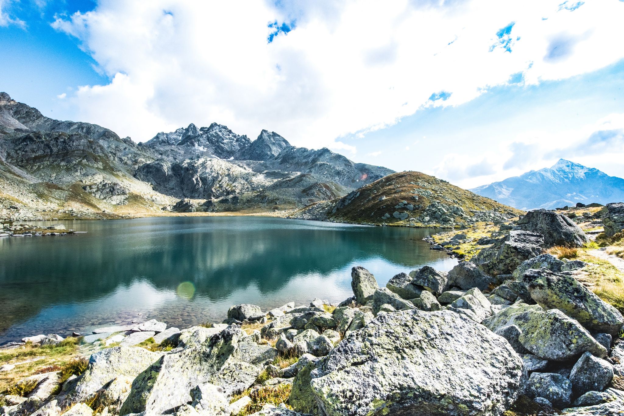
Mountaineering routes around Splügen offer access to the dramatic landscapes of the Swiss Alps, situated at 1457 meters above sea level in the Viamala region. This area is defined by its prominent mountain passes, including the historic Splügen Pass and San Bernardino Pass, which mark the continental divide. The terrain features deep gorges like Viamala and Roffla, high alpine peaks such as Pizzo Tambo and Surettahorn, and tranquil mountain lakes, all within the protected Beverin Nature Park.
Best mountaineering routes…
Last updated: October 8, 2026
4.9
(10)
44
hikers
8.87km
06:13
1,020m
1,020m
Hard mountaineering route. Very good fitness required. Sure-footedness, sturdy shoes and alpine experience required.
5.0
(1)
11
hikers
16.2km
06:41
1,180m
1,180m
Hard mountaineering route. Very good fitness required. Sure-footedness, sturdy shoes and alpine experience required.

4.0
(2)
6
hikers
10.6km
05:28
870m
860m
Hard mountaineering route. Very good fitness required. Sure-footedness, sturdy shoes and alpine experience required.
6
hikers
8.88km
05:12
1,040m
1,040m
Hard mountaineering route. Very good fitness required. Sure-footedness, sturdy shoes and alpine experience required.
5
hikers
14.6km
05:32
780m
780m
Hard mountaineering route. Very good fitness required. Mostly accessible paths. Sure-footedness required.
Get access to more routes and recommendations from other explorers.
Already have an account?
Our route recommendations are based on thousands of hikes, rides, and runs completed by other people on komoot.
Start today with a free account
Your next adventure awaits.
Popular around Splügen

Alpine Passes Trail – hiking 700km across Switzerland
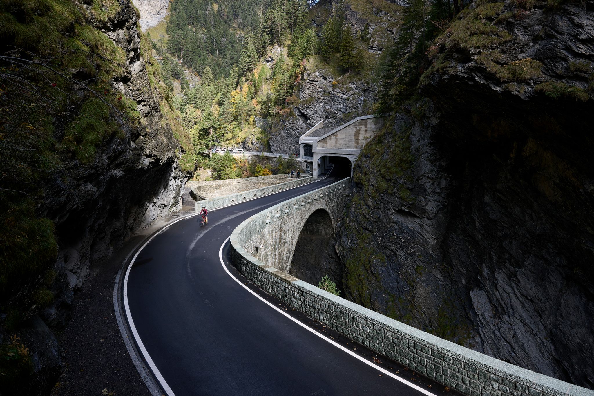
Gravel bike experiences in Viamala: Between gorges, passes, and castles
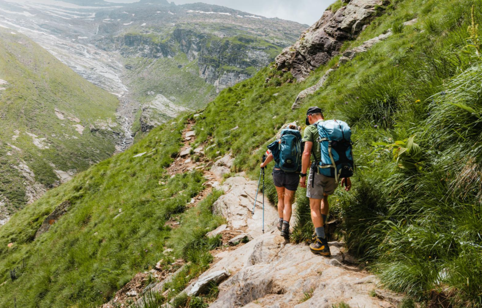
Mountain worlds and gorge magic – adventure hikes in the Viamala Region
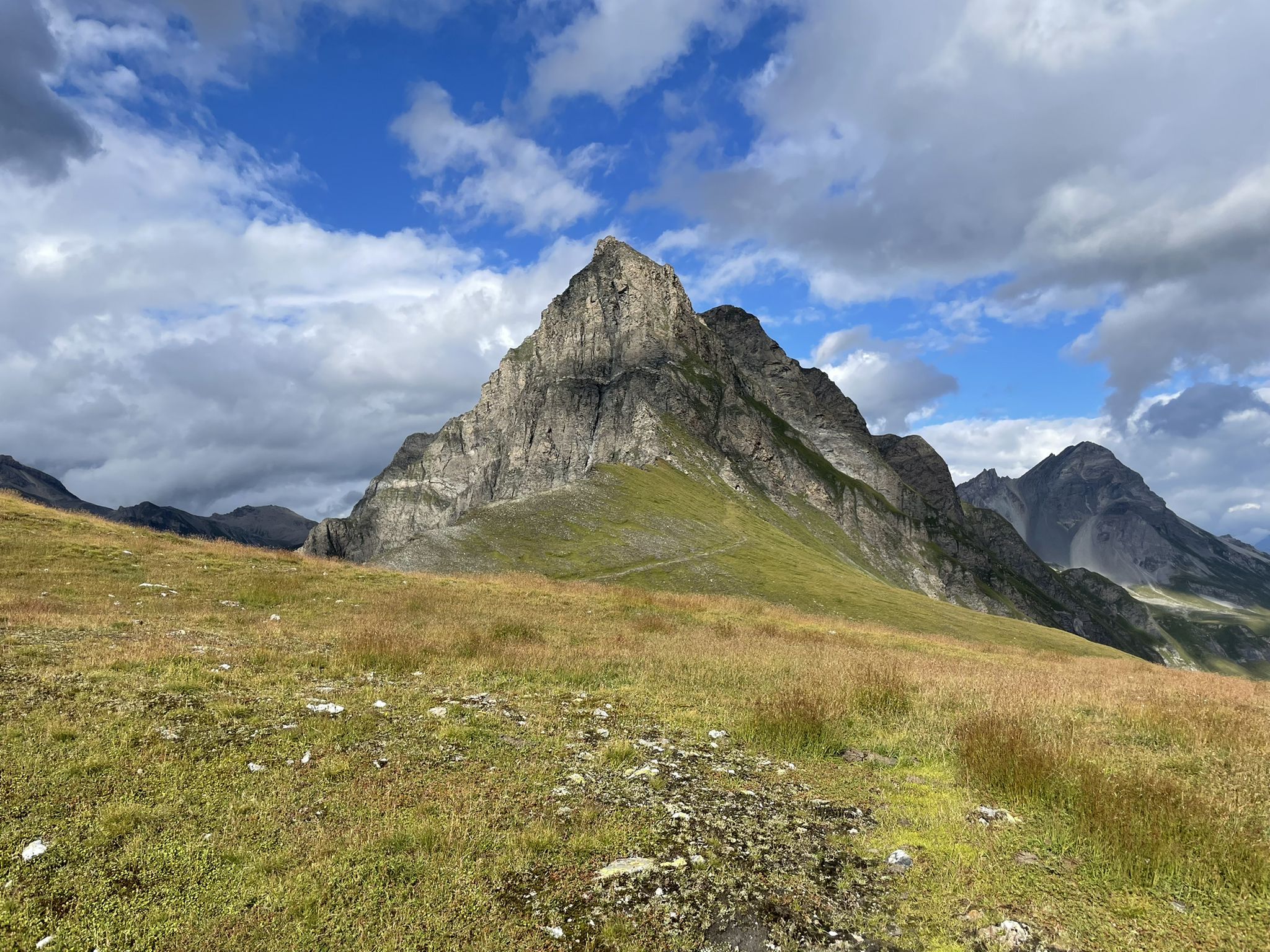
Spectacular nature park in Graubünden – Val Surses to Safiental
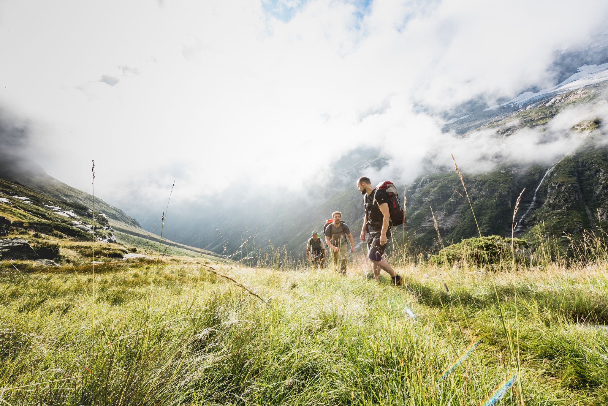
Over hill & dale – Viamala Hiking Paradise
Between deep canyons, waterfalls and turquoise lakes – Via Spluga
Destination Viamala – discover Switzerland’s best nature by bicycle
Long-distance hiking in the Grisons — 3 routes in Switzerland
On the viaSpluga from Thusis to Chiavenna
Viamala – a hiking paradise in the heart of the Grisons in Switzerland
Other adventures around Splügen


Tips from the Community

The Kristallloch fire pit is a beautiful spot for a cozy break on the hike from Gadastatt to Zervreila. From the Gadastatt mountain station, a wide hiking trail initially leads towards Zerfreila, before it turns into a path. After about a kilometer (approx. half an hour's hike), you will reach the fire pit on the left side. The Kristallloch fire pit is small but nice. It has a stone table and offers a wonderful view of the Valser mountain world. Firewood is available on the right side of the hiking trail.
1
0


Be sure to leave early on weekends! It fills up quickly, and turning around (when it's full) is no fun.
0
0

Beautifully rounded summit, often crowded, wide panoramic view
0
0

Start at the Vals cable car. The gondola is free in summer. A simple but beautiful hike through the raised moor. At the Zervraila reservoir, return to Vals by scooter. These can be rented at the restaurant at Lake Zervraila. You return to the cable car parking lot.
0
0

Since, as is often the case, the pass signs are completely covered with stickers, taking photos in front of them is no longer fun. Alternatively, you can use the boundary stone to take a "proof photo." On the other side of the road, there's another, smaller stone with the elevation: 2113 m.
0
0

Next parking lot for the ascent to Piz Beverin
0
0
Frequently Asked Questions
How many mountaineering routes can I explore around Splügen?
There are over 10 challenging mountaineering routes available around Splügen, offering diverse experiences from moderate paths to demanding high-altitude tours. The komoot community has rated these routes highly, with an average score of 4.9 stars.
Are there any circular mountaineering routes in the Splügen area?
Yes, Splügen offers several excellent circular mountaineering routes. For a challenging experience, consider the Piz Tambo – Laghetti del Tamburello loop from Splügen Pass, which covers 5.5 miles (8.9 km) and takes about 6 hours. A moderate option is the Upper Suretta Lake loop from Splügen, spanning 7.6 miles (12.3 km).
What are some of the natural highlights I can see along the mountaineering routes?
The Splügen region is rich in natural wonders. You can encounter spectacular gorges like the Roffla Gorge with its impressive waterfall, or the historic Cardinello Gorge. Tranquil mountain lakes such as Sufnersee and Ober Surettasee are also prominent features, often providing stunning backdrops to your ascent.
Are there any easier mountaineering routes suitable for beginners in Splügen?
While many routes in Splügen are demanding, there are moderate options available. The Upper Suretta Lake loop from Splügen is classified as moderate, offering a rewarding experience without the extreme difficulty of some high-alpine ascents. It's a great way to enjoy the mountain lakes and Surettahorn area.
What is the best time of year for mountaineering in Splügen?
The best time for mountaineering in Splügen is typically during the warmer months, from late spring to early autumn, when trails are clear of snow and weather conditions are more stable. This allows access to the high alpine passes and peaks. Winter offers opportunities for ski touring and snowshoeing, but traditional mountaineering routes become significantly more challenging and require specialized equipment and experience.
Are there any routes that lead to mountain lakes?
Absolutely. The region is dotted with beautiful mountain lakes. The Mountain lake – Lago Azzurro loop from Splügen Pass is a popular choice, leading through high alpine terrain directly to a stunning mountain lake. Another option is the Mountain lake – Lago Azzurro loop from Montespluga, which also offers access to these pristine waters.
What kind of terrain can I expect on mountaineering routes in Splügen?
Mountaineering routes in Splügen feature a diverse range of terrain. You'll encounter dramatic mountain passes, deep gorges, and high alpine peaks. Expect rocky paths, scree slopes, and potentially small climbing sections on more difficult routes, especially around areas like the Splügen Pass. The region is part of the Beverin Nature Park, ensuring pristine natural landscapes.
What do other mountaineers enjoy most about the routes in Splügen?
The komoot community highly rates the mountaineering routes in Splügen, with an average score of 4.9 stars from over 20 reviews. Mountaineers often praise the dramatic landscapes, the awe-inspiring mountain vistas, and the sense of adventure offered by the challenging high-alpine crossings. The historical significance of the passes and the natural beauty of the gorges and lakes are also frequently highlighted.
Are there any routes that offer panoramic viewpoints of the Alps?
Many routes in Splügen provide breathtaking panoramic views of the Swiss Alps. The region is defined by prominent peaks like Pizzo Tambo and Surettahorn, and routes leading to or around these offer expansive vistas. The journey through the Splügen Pass itself, despite its barren summit, provides spectacular views of the surrounding mountains and valleys.
Can I find routes that explore the historic Splügen Pass?
Yes, the historic Splügen Pass is central to the region's appeal and many routes incorporate its dramatic landscapes. The pass was a crucial trade route for over 2000 years, connecting Graubünden with Italy. While specific routes might not solely follow the pass road, they often traverse the surrounding high alpine terrain, offering a sense of its historical significance and breathtaking views.
Are there any particularly challenging or advanced mountaineering routes?
Splügen is renowned for its demanding mountain routes and high-altitude tours. For experienced mountaineers, routes like the Piz Tambo – Laghetti del Tamburello loop from Splügen Pass are classified as difficult, requiring good fitness, sure-footedness, and alpine experience. Another challenging option is the Fuorcla da Patnaul loop from Gadastatt, which involves significant elevation gain.
Most popular attractions around Splügen

Get inspired with the komoot mobile app


Explore more
Browse the best Mountain Hikes & Routes in other regions.
