The best mountain hikes around Sils im Domleschg
5.0
(4)
53
hikers
7
hikes
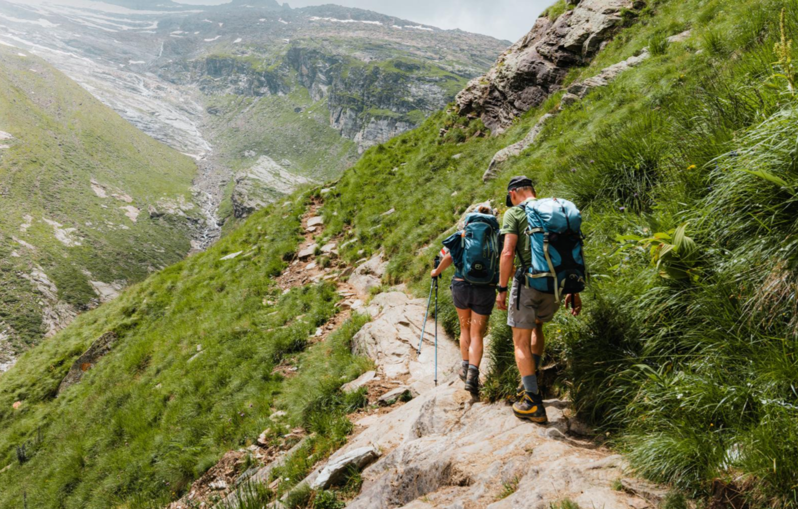
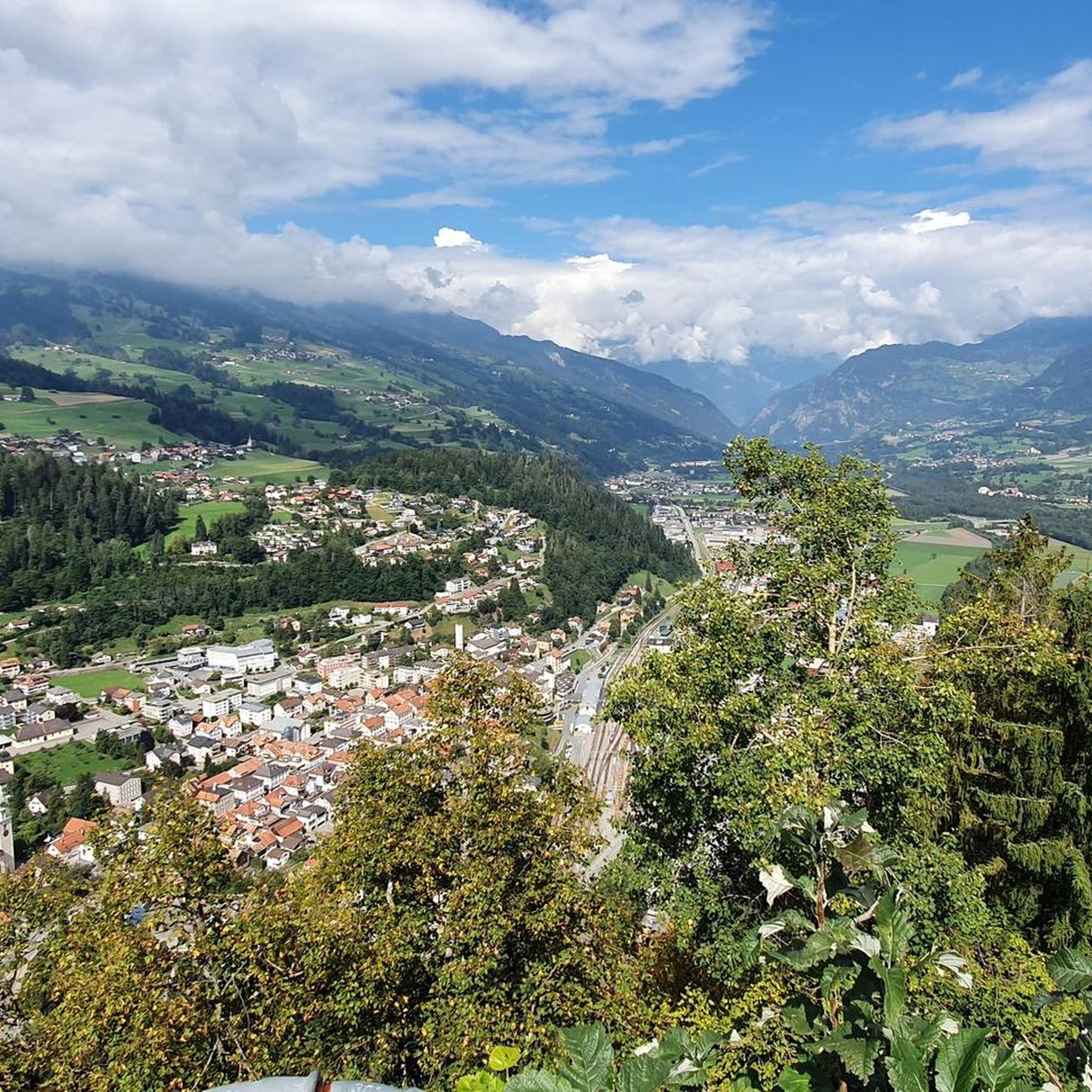
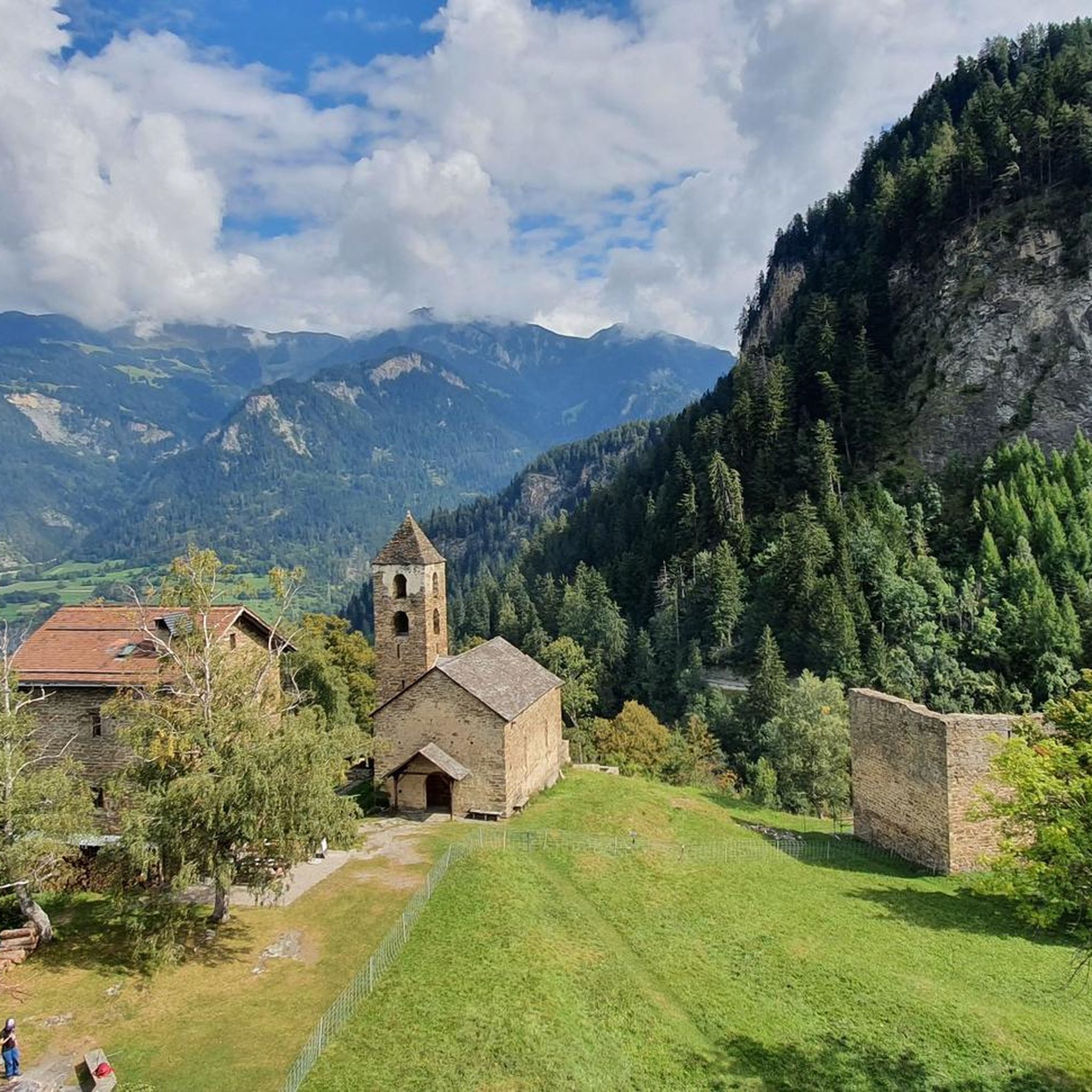
Mountaineering routes around Sils im Domleschg are situated in the Swiss canton of Graubünden, characterized by dramatic gorges like the Viamala and Schin, and historical sites such as Hohen Rätien. The region offers a network of trails that traverse varied terrain, from deep valleys to high plateaus. While primarily known for extensive hiking, its proximity to the broader Engadin region provides access to more demanding alpine environments.
Best mountaineering routes around Sils im Domleschg
- The most popular mountaineering route is…
Last updated: October 10, 2026
5.0
(1)
20
hikers
13.6km
07:09
1,420m
1,420m
Hard mountaineering route. Very good fitness required. Sure-footedness, sturdy shoes and alpine experience required.
5.0
(2)
16
hikers
10.7km
07:05
1,120m
1,120m
Hard mountaineering route. Very good fitness required. Sure-footedness, sturdy shoes and alpine experience required.

5.0
(1)
11
hikers
16.2km
06:41
1,180m
1,180m
Hard mountaineering route. Very good fitness required. Sure-footedness, sturdy shoes and alpine experience required.
6
hikers
8.88km
05:12
1,040m
1,040m
Hard mountaineering route. Very good fitness required. Sure-footedness, sturdy shoes and alpine experience required.
5.0
(1)
2
hikers
3.72km
01:43
250m
250m
Moderate mountaineering route. Great for any fitness level. Mostly accessible paths. Sure-footedness required.
Get access to more routes and recommendations from other explorers.
Already have an account?
Our route recommendations are based on thousands of hikes, rides, and runs completed by other people on komoot.
Start today with a free account
Your next adventure awaits.
Popular around Sils im Domleschg
Other adventures around Sils im Domleschg

Tips from the Community

Be sure to leave early on weekends! It fills up quickly, and turning around (when it's full) is no fun.
0
0

Beautifully rounded summit, often crowded, wide panoramic view
0
0

Next parking lot for the ascent to Piz Beverin
0
0

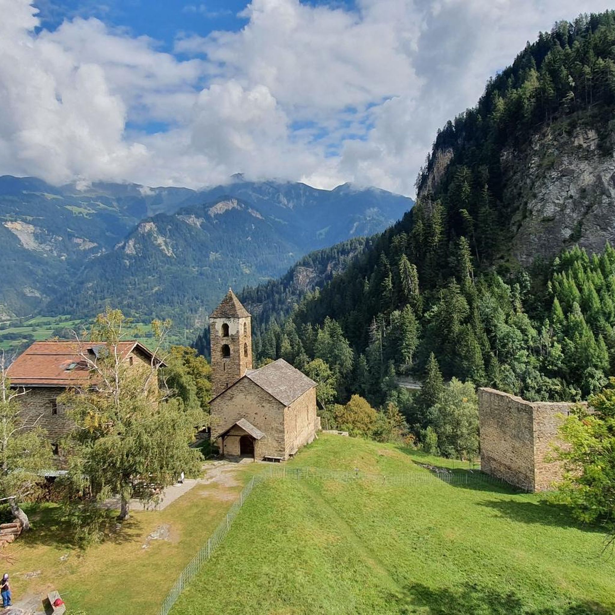
Mathon is located in the beautiful Viamala region and has around 50 inhabitants today. In addition to the pretty village center with its listed church, the ruins of the old St. Anthony's Church below the village are also fascinating to see.
0
0


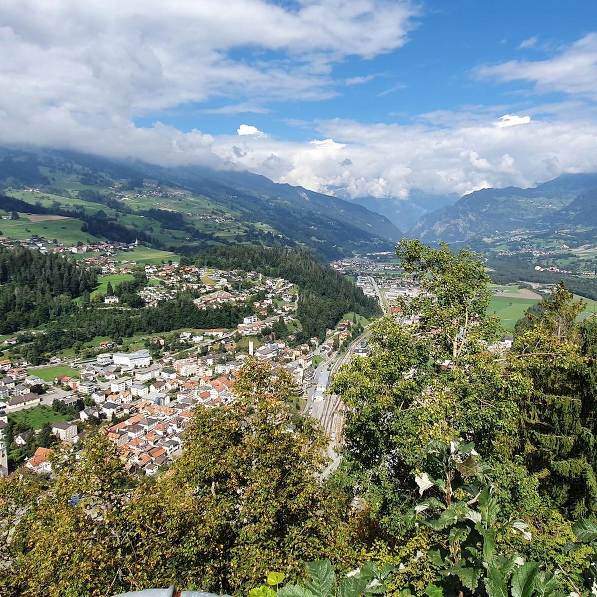
In good weather you have a very nice view
2
0
Piz Beverin is definitely worth a very nice day tour
0
1

Frequently Asked Questions
What kind of mountaineering routes can I expect in Sils im Domleschg?
Sils im Domleschg offers a diverse range of routes, primarily extensive hiking trails that can be quite demanding. While the immediate area is known for its dramatic gorges like the Viamala and historical sites such as Hohen Rätien, its proximity to the broader Engadin region means more advanced alpine experiences are within reach. You'll find everything from moderate paths to challenging ascents.
How many mountaineering routes are available in the Sils im Domleschg area?
There are 10 mountaineering routes detailed for the Sils im Domleschg area. These include 1 easy, 4 moderate, and 5 difficult routes, offering options for various skill levels.
Are there any family-friendly hiking options that are less strenuous?
While many routes are challenging, there are options suitable for families looking for a less strenuous experience. For example, the Glaspass loop from Glaspass is rated as moderate and offers a shorter, more accessible option to enjoy the mountain scenery.
What are some notable natural features or landmarks to see along the routes?
The region is rich in natural beauty and historical sites. You can explore the dramatic Viamala Gorge with its towering rock walls and turquoise waters, or discover the historic Alter Schin Historic Trail. The ancient castle complex of Hohen Rätien also offers panoramic views and historical significance.
Are there any circular routes available for mountaineering?
Yes, many of the routes in Sils im Domleschg are designed as loops, allowing you to start and end at the same point. Examples include the challenging Cliffside Ladder loop from Donat and the scenic Piz Tarantschun loop from Donat.
What is the best time of year for mountaineering in Sils im Domleschg?
The best time for mountaineering in Sils im Domleschg is typically during the warmer months, from late spring to early autumn (roughly June to October), when trails are clear of snow and weather conditions are more stable. Always check local weather forecasts and trail conditions before heading out, especially for higher altitude routes.
Are there any places to stop for refreshments or accommodation along the trails?
Yes, you can find places like the June Hut or Alp Fops, which offer opportunities for a break or even overnight stays. The Hotel and Restaurant Tgantieni also provides a more substantial option for dining and lodging.
What is the general difficulty level of mountaineering routes in this region?
The routes around Sils im Domleschg vary in difficulty. Out of 10 routes, 5 are rated as difficult, 4 as moderate, and 1 as easy. This means there are plenty of challenging options for experienced mountaineers, but also some more accessible paths for those looking for a less strenuous adventure.
Can I reach the trailheads using public transport?
Sils im Domleschg is located in Graubünden, a region generally well-served by public transport. While specific trailhead access varies, many starting points are often reachable via local bus services or post buses that connect to train stations in larger towns. It's advisable to check local transport schedules for your chosen route's starting point.
What do other mountaineers say about the routes in Sils im Domleschg?
The routes in Sils im Domleschg are highly rated by the komoot community, with an average score of 5.0 stars. Mountaineers often praise the dramatic gorges, historical high-altitude sites, and the diverse mountain trails that offer varied terrain and stunning views.
Are there any routes that offer expansive views of the surrounding peaks?
Absolutely. Routes like the Piz Beverin – Glaspass loop from Glaspass are known for offering expansive vistas towards Piz Beverin and the Glaspass area, providing breathtaking panoramic views of the Graubünden landscape.
Are there any routes that are particularly challenging?
For those seeking a significant challenge, routes such as the Cliffside Ladder loop from Muntogna da Schons are rated as difficult. These routes typically feature considerable elevation gain and require sustained effort, rewarding you with a true mountaineering experience.
Most popular routes around Sils im Domleschg
Most popular attractions around Sils im Domleschg

Get inspired with the komoot mobile app


Explore more
Browse the best Mountain Hikes & Routes in other regions.
