The best road cycling routes around Pranles
4.4
(158)
3,746
riders
164
rides
Road cycling routes around Pranles traverse a diverse landscape within the Ardèche region of France, characterized by a mix of mountainous terrain, river valleys, and plateaus. The area features elevations ranging from 300 to over 1,000 meters, offering varied gradients for cyclists. Situated near the Monts d'Ardèche Regional Nature Park, the region includes ancient volcanic basalt flows and granite bedrock, providing distinctive scenery. River valleys and cols like Col du Benas are prominent features, shaping the cycling experience.
Best road…
Last updated: August 25, 2026
4.3
(3)
59
riders
76.6km
04:13
1,590m
1,590m
Hard road ride. Very good fitness required. Mostly well-paved surfaces and easy to ride.
4.3
(3)
56
riders
Hard road ride. Very good fitness required. Mostly well-paved surfaces and easy to ride.

Sign up for free
4.0
(4)
41
riders
61.7km
03:33
1,470m
1,470m
Hard road ride. Very good fitness required. Mostly well-paved surfaces and easy to ride.
31
riders
86.7km
04:50
1,770m
1,770m
Hard road ride. Very good fitness required. Mostly well-paved surfaces and easy to ride.
5.0
(2)
45
riders
45.1km
02:38
1,050m
1,050m
Hard road ride. Very good fitness required. Some segments of this route may be unpaved and difficult to ride.
Get access to more routes and recommendations from other explorers.
Sign up for free
Already have an account?
Our route recommendations are based on thousands of hikes, rides, and runs completed by other people on komoot.
Start today with a free account
Your next adventure awaits.
Login or Signup
Tips from the Community


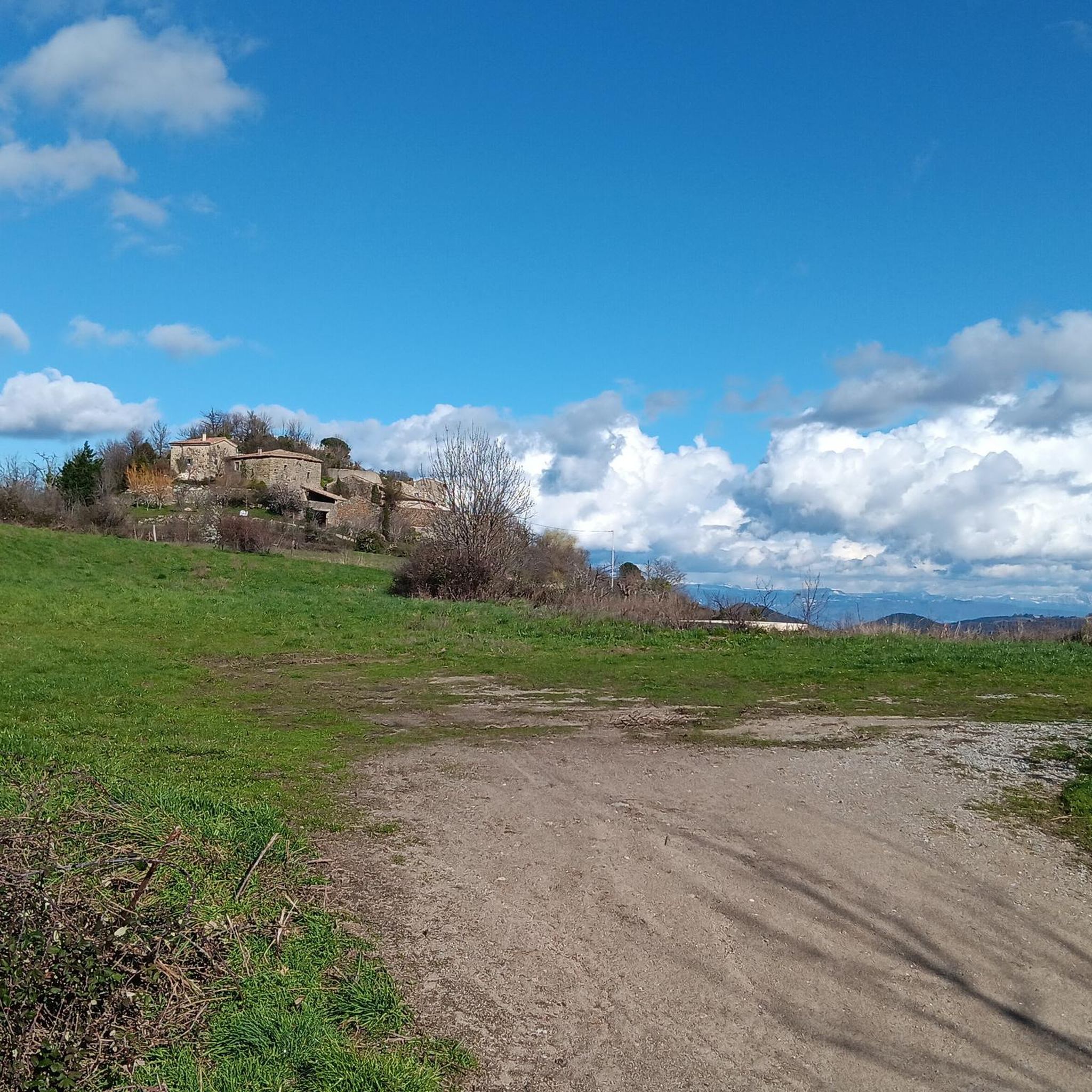
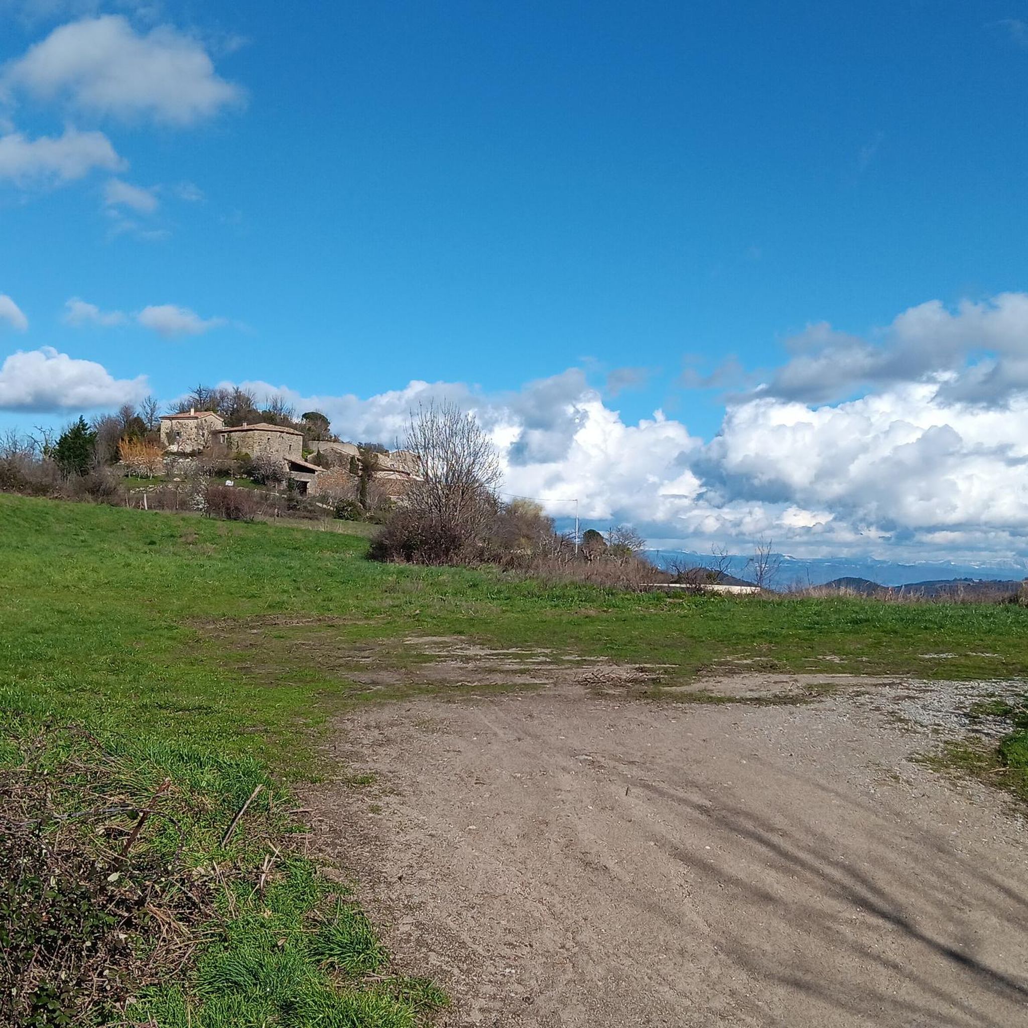
Perched on the heights of the Ardèche, Chalencon is a remarkably well-preserved medieval village, with its cobbled alleys, vaulted passageways, and old stone houses. As you explore the village, you discover an authentic heritage and beautiful viewpoints over the green reliefs of the Eyrieux valley. It is an ideal stopover during a hike: you enjoy getting lost for a few moments in its alleys before continuing on your way. The charm of the village, its tranquility, and its natural setting make it one of the most beautiful detours in the area.
0
0


A mandatory refreshment break to enjoy some very good ice creams and sorbets.
0
0


Ardèche ice cream par excellence! The ice creams are organic and of high quality, there are more than 50 flavors available. The opening hours are quite wide but the tasting room, the one with the glasses and the whipped cream (!!), opens after lunch. There is also a small internal museum. It is really a must-see in the region!
0
0

The Col de Burianne is a pleasant intermediate climb that you can easily include in your route, especially if you are looking for some extra altitude. Although it does not offer spectacular views or challenging steep sections, it is a nice way to spice up your ride. Do not expect grand scenery, but enjoy the quiet road and the feeling of satisfaction after the climb.
0
0
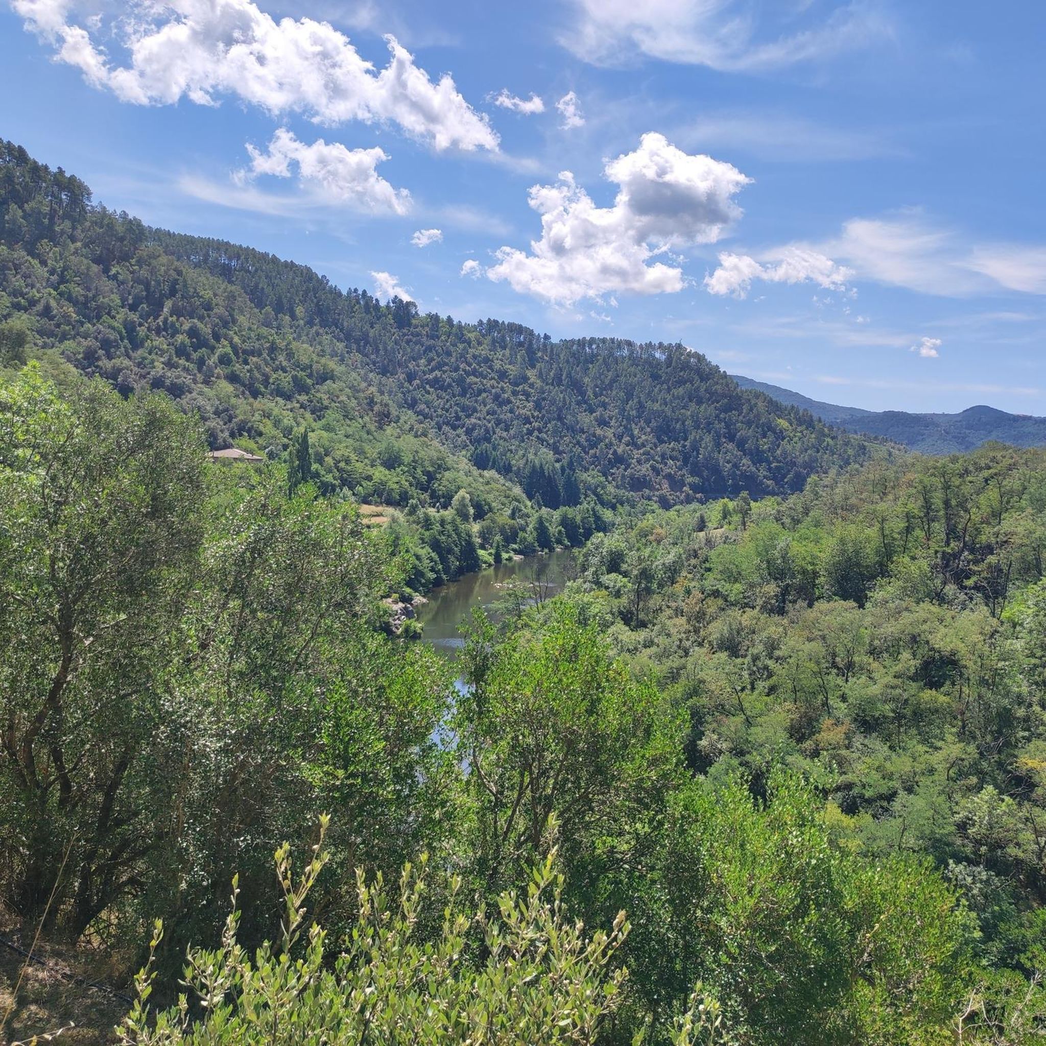
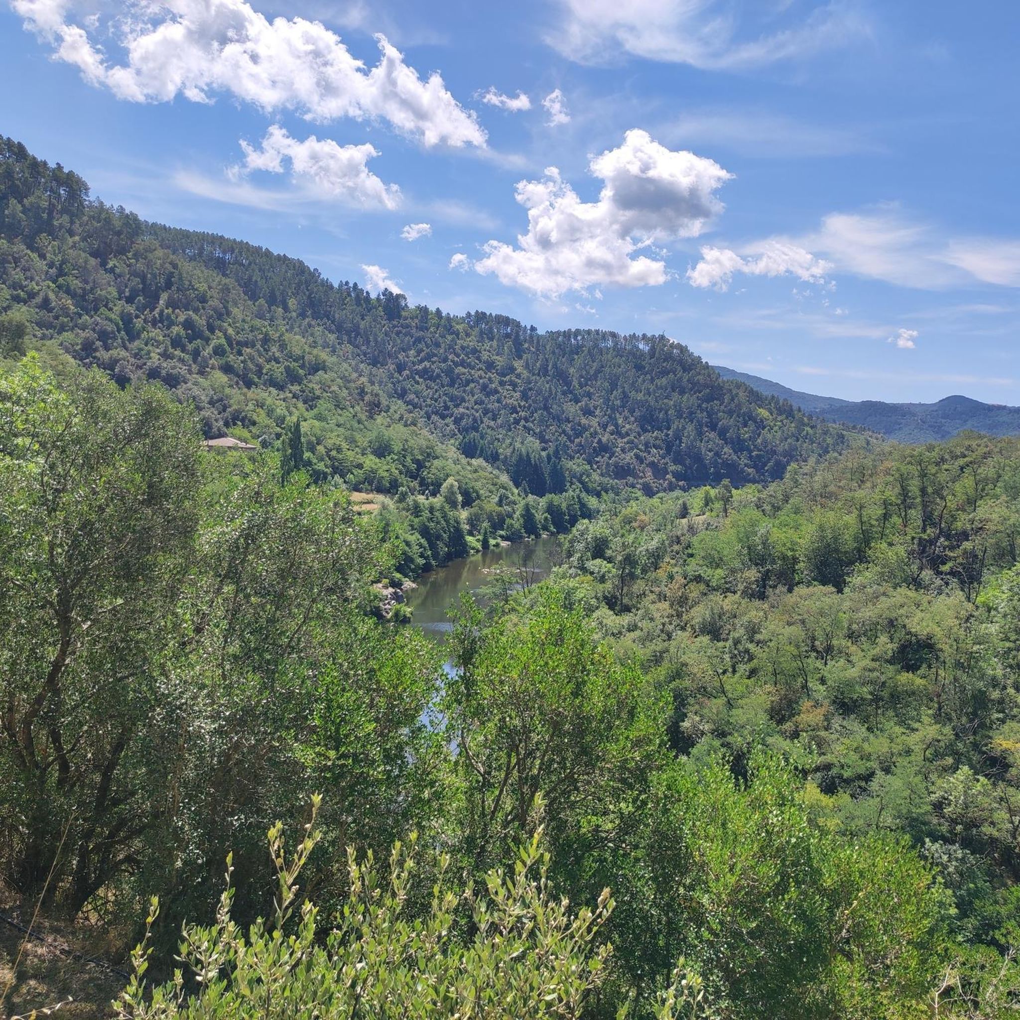
If you are in the area, don't miss the Belvédère de l'Eyrieux. This viewpoint offers a breathtaking view over the Eyrieux valley, where you can experience the beauty of nature in all its glory. A perfect place to take a break during your walk or bike ride, where you can enjoy the panoramic view and the serene environment. Don't forget your camera!
0
0
Frequently Asked Questions
What kind of terrain can I expect when road cycling around Pranles?
Road cycling routes around Pranles offer a diverse landscape within the Ardèche region. You'll encounter a mix of mountainous terrain, river valleys, and plateaus, with elevations ranging from 300 to over 1,000 meters. This provides varied gradients, from challenging climbs to more gentle sections along riverbanks. The area is also characterized by unique geological features like ancient volcanic basalt flows and granite bedrock, especially within or near the Monts d'Ardèche Regional Nature Park.
Are there challenging road cycling routes for experienced riders in Pranles?
Yes, Pranles is well-suited for experienced road cyclists seeking a challenge. The region features numerous cols and significant elevation gains. For example, the Col de Ceysson (810 m) – Col des Nonières (671 m) loop from Saint-Sauveur-de-Montagut is a difficult 47.6-mile route with over 1,500 meters of elevation gain. Another demanding option is the Col du Benas (795 m) – Col des Pierres de Faux loop from Pranles, which covers 30.2 miles with over 1,000 meters of ascent.
What are some scenic viewpoints or landmarks I can see on road cycling routes near Pranles?
The region offers many scenic vistas. From certain vantage points, such as along the old royal road 'Route des Dragonnades' near the Moulin de Mandy, you can enjoy views towards the Vercors plateau and the Écrins massif. The routes often pass through the Monts d'Ardèche Regional Nature Park, known for its wild landscapes and chestnut groves, which are particularly beautiful in autumn. You might also encounter the Col du Benas (795 m), a notable mountain pass offering expansive views of the Ardèche countryside.
Are there any easier or family-friendly road cycling options around Pranles?
While many routes are challenging, there are some easier options. The region is developing its cycling infrastructure, including dedicated paths like the 'Voie verte La Dolce Via' and 'Voie douce de la Payre'. These greenways often provide flatter sections suitable for less strenuous rides. For example, the Voie verte La Dolce Via and the Payre Greenway are excellent choices for a more relaxed cycling experience.
What is the best time of year for road cycling in Pranles?
The Ardèche region, including Pranles, is generally pleasant for cycling from spring through autumn. Spring offers lush greenery and moderate temperatures, while autumn is particularly scenic with the golden hues of the chestnut groves. Summer can be warm, especially in the valleys, but higher elevations and early morning rides remain enjoyable. It's always advisable to check local weather forecasts before heading out.
How many road cycling routes are available around Pranles?
There are over 150 road cycling routes available around Pranles, catering to various skill levels. This includes 6 easy routes, 58 moderate routes, and 87 difficult routes, ensuring plenty of options for every type of rider.
What do other road cyclists enjoy most about the routes in Pranles?
The road cycling routes in Pranles are highly rated by the komoot community, with an average score of 4.6 stars from over 130 reviews. Cyclists often praise the challenging mountain passes, the scenic river valleys, and the expansive plateaus that offer breathtaking views. The diverse terrain and the beauty of the Monts d'Ardèche Regional Nature Park are frequently highlighted as key attractions.
Are there any cultural or historical sites to explore near the cycling routes?
Yes, Pranles and its surroundings offer cultural and historical diversions. Pranles itself features sites like the Romanesque church Notre-Dame-de-l'Assomption, the Moulin de Mandy, and the Museum of Protestant Vivarais. Nearby towns like Privas also offer historical interest, providing opportunities for rest days or shorter excursions off the bike.
Can I find long-distance road cycling routes around Pranles?
Yes, the region offers several long-distance routes for those looking for extended rides. For example, the Col du Gerbier de Jonc – Col de Mézilhac (1,119 m) loop from Lyas is a challenging 76.3-mile route with over 2,200 meters of elevation gain, providing a significant endurance test and a chance to explore more of the Ardèche landscape.
Are there any specific cycling paths or greenways in the area?
Yes, the Ardèche department actively promotes cycling with dedicated paths. The 'Voie verte La Dolce Via' and 'Voie douce de la Payre' are notable greenways in the region. The Dolce Via Section Through the Gorges of the Eyrieux is a particularly scenic part of this network, offering a different kind of cycling experience compared to the mountain passes.
What are the typical gradients like on road cycling routes in Pranles?
Due to the varied topography of the Ardèche, you can expect a wide range of gradients. Routes often feature significant climbs to cols like Col du Benas, which can be steep and sustained. However, there are also flatter sections, particularly along river valleys, providing a mix of challenging ascents and more rolling or level terrain.
Most popular attractions around Pranles

Get inspired with the komoot mobile app


Explore more
Browse the best Road cycling routes in other regions.
