Top 20 Mountain Passes around Eaux-Bonnes
Best mountain passes around Eaux-Bonnes are located in the Pyrenees, a region characterized by its mountainous terrain. This area features several mountain passes that connect valleys and provide access to various outdoor activities. The passes offer diverse experiences, from challenging climbs to scenic routes through varied landscapes.
Best mountain passes around Eaux-Bonnes
- The most popular mountain passes is Col du Soulor, a mountain pass that reaches an altitude of 1,474 meters. It is known as an emblematic pass of…
Last updated: October 13, 2026
Col du Soulor
Highlight • Mountain Pass
Translated by Google •
Tip by

Col d'Aubisque
Highlight • Mountain Pass
Showing Translation
Tip by
Sign up now to discover places like this
Get recommendations on the best single tracks, peaks, & plenty of other exciting outdoor places.
Ascent of Col d'Aubisque from Laruns
Highlight (Segment) • Climb
It's a regular pass in the Tour de France, classified as a special category climb. You'll also enjoy the incredible views.
Translated by Google •
Tip by

Route from Soulor to Aubisque (Cirque du Litor)
Highlight (Segment) • Mountain Pass
Showing Translation
Tip by

Col des Bordères (1156 m)
Highlight • Mountain Pass
This pass will also …
Translated by Google •
Tip by

Sign up for free to discover even more mountain passes around Eaux-Bonnes.
Already have an account?
Start today with a free account
Your next adventure awaits.
Popular around Eaux-Bonnes
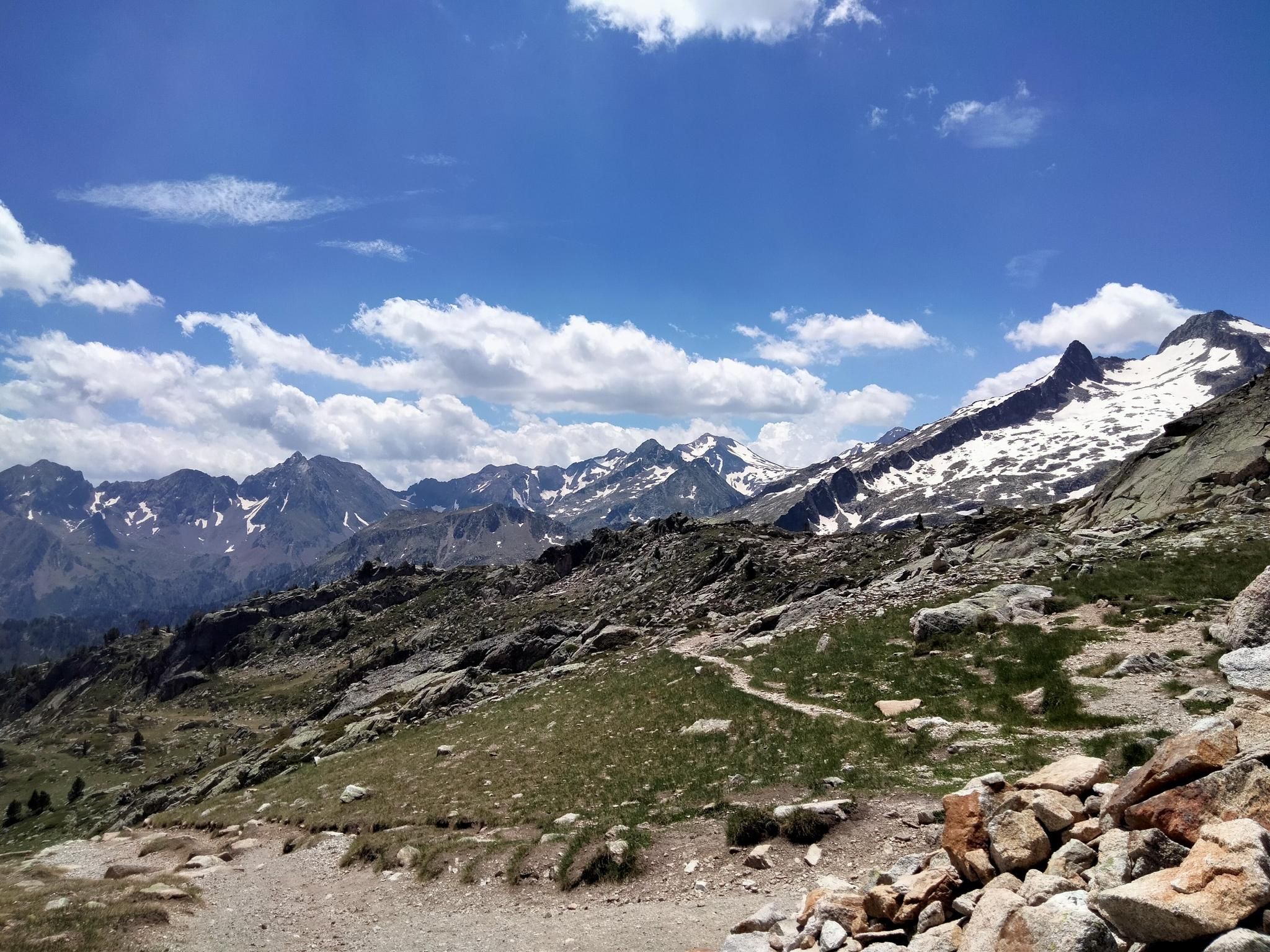
Hexatrek, the western and central Pyrenees – Between mountains and the ocean
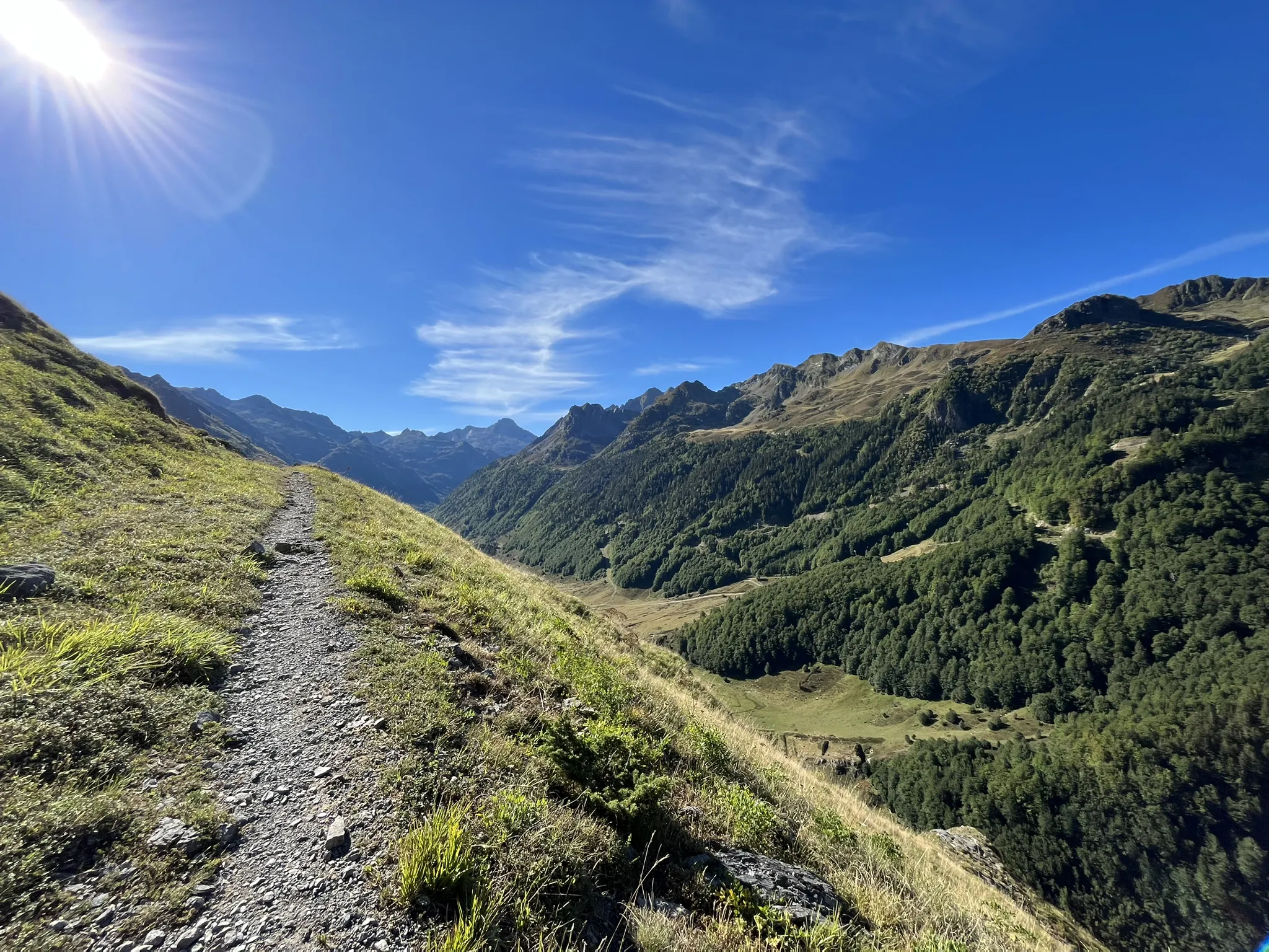
Plateaus, passes and lakes – running in the Ossau Valley
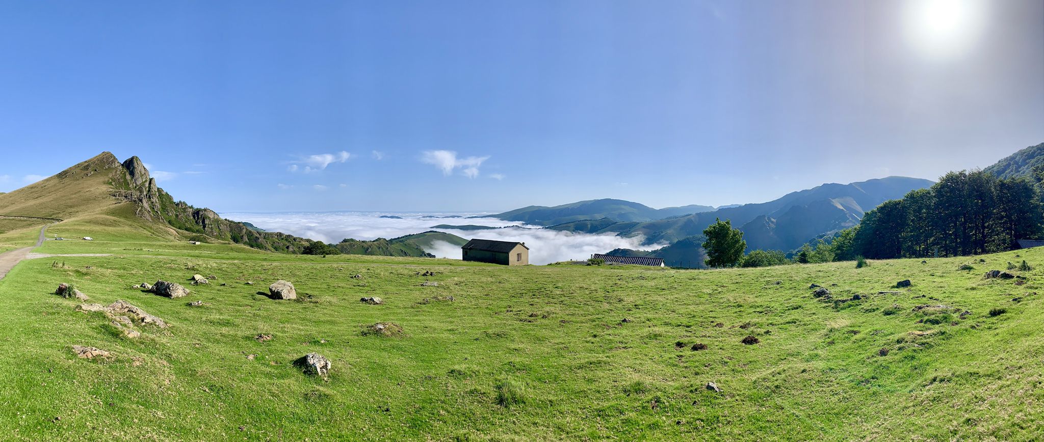
The Western Pyrenees – crossing the Pyrenees on the GR 10
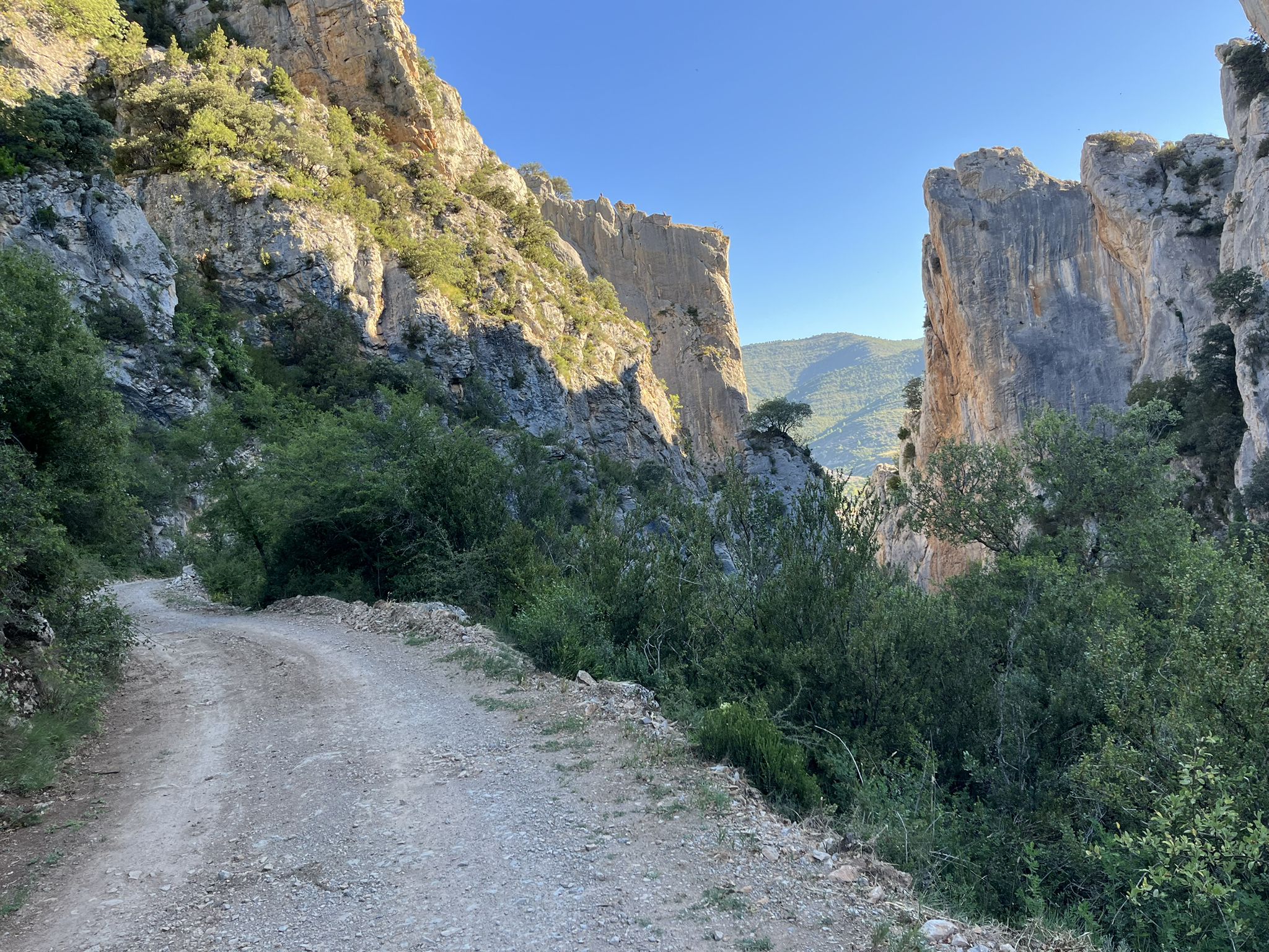
La Esperanza — The Road Of Hope
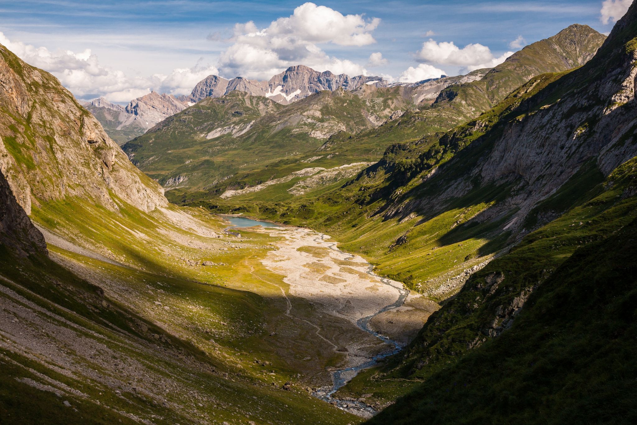
A spectacular crossing — the Pyrenees National Park by the GR10
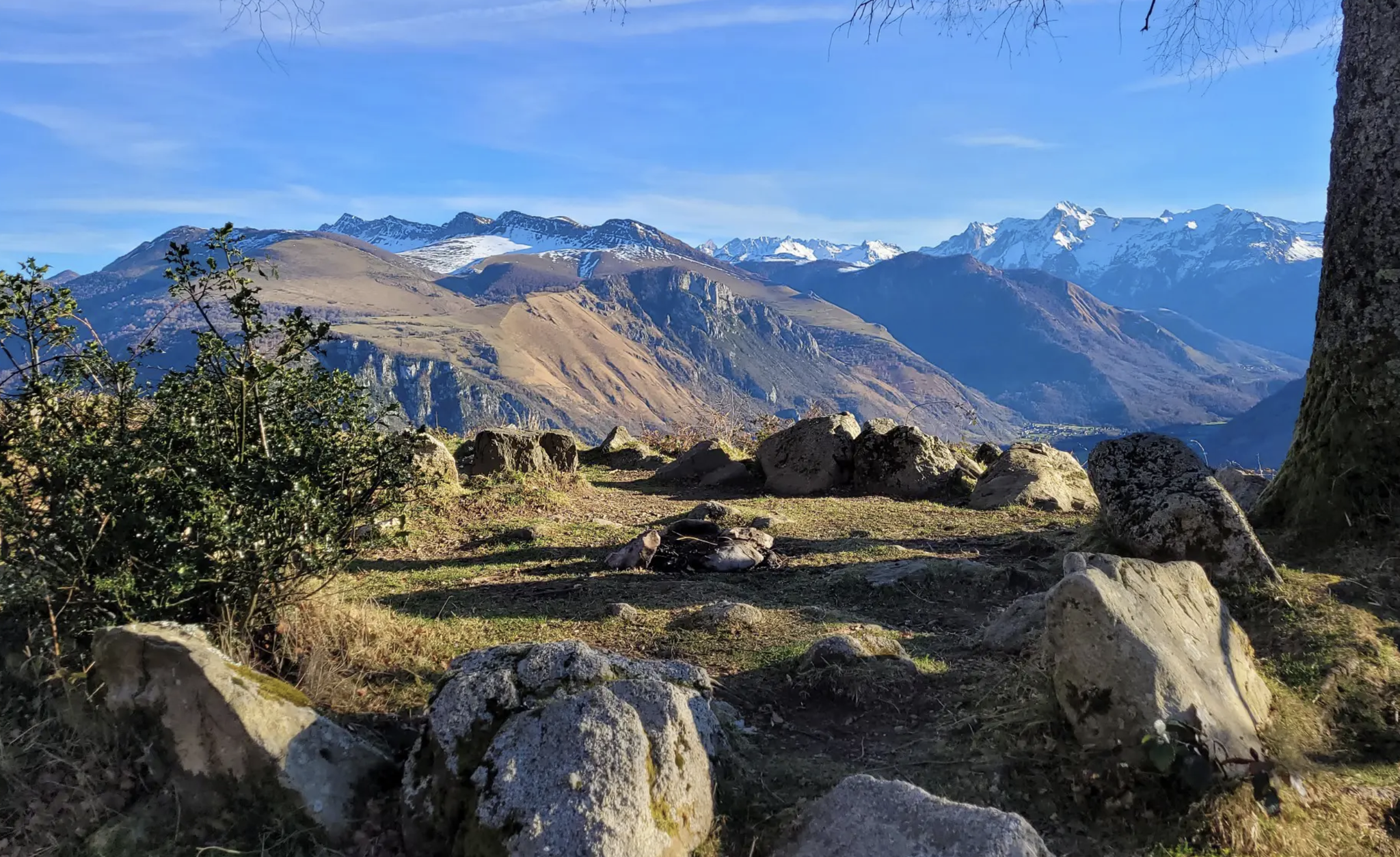
A Pyrenean classic — GRP Tour de la Vallée d'Ossau
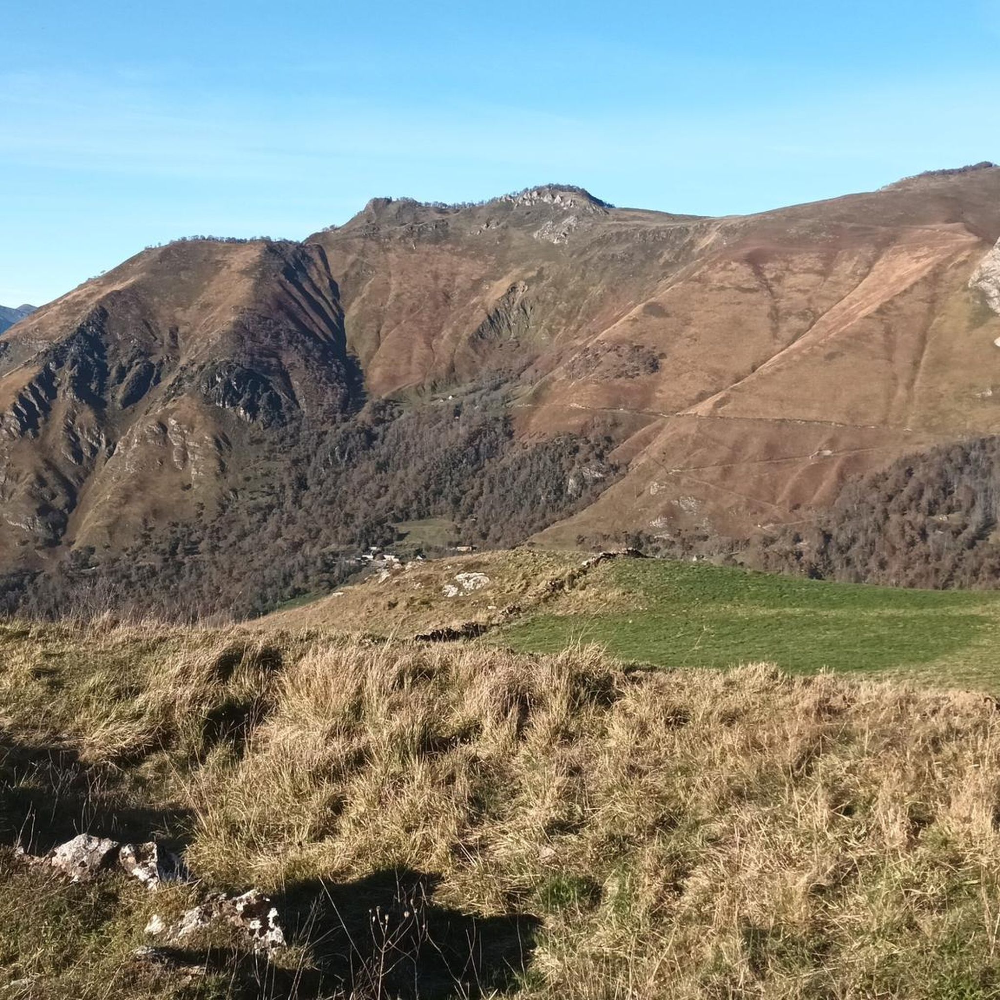
Running Trails around Eaux-Bonnes
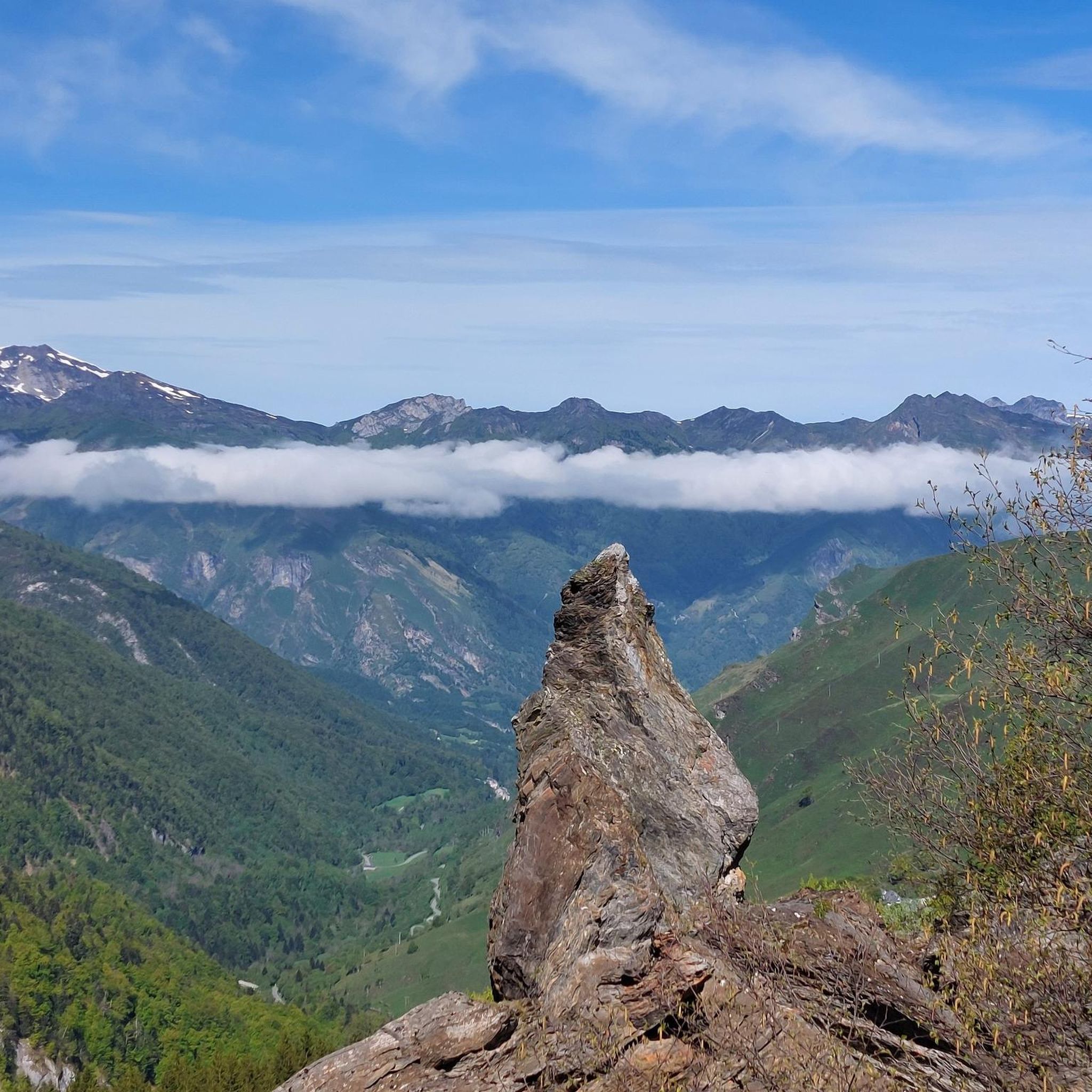
Road Cycling Routes around Eaux-Bonnes
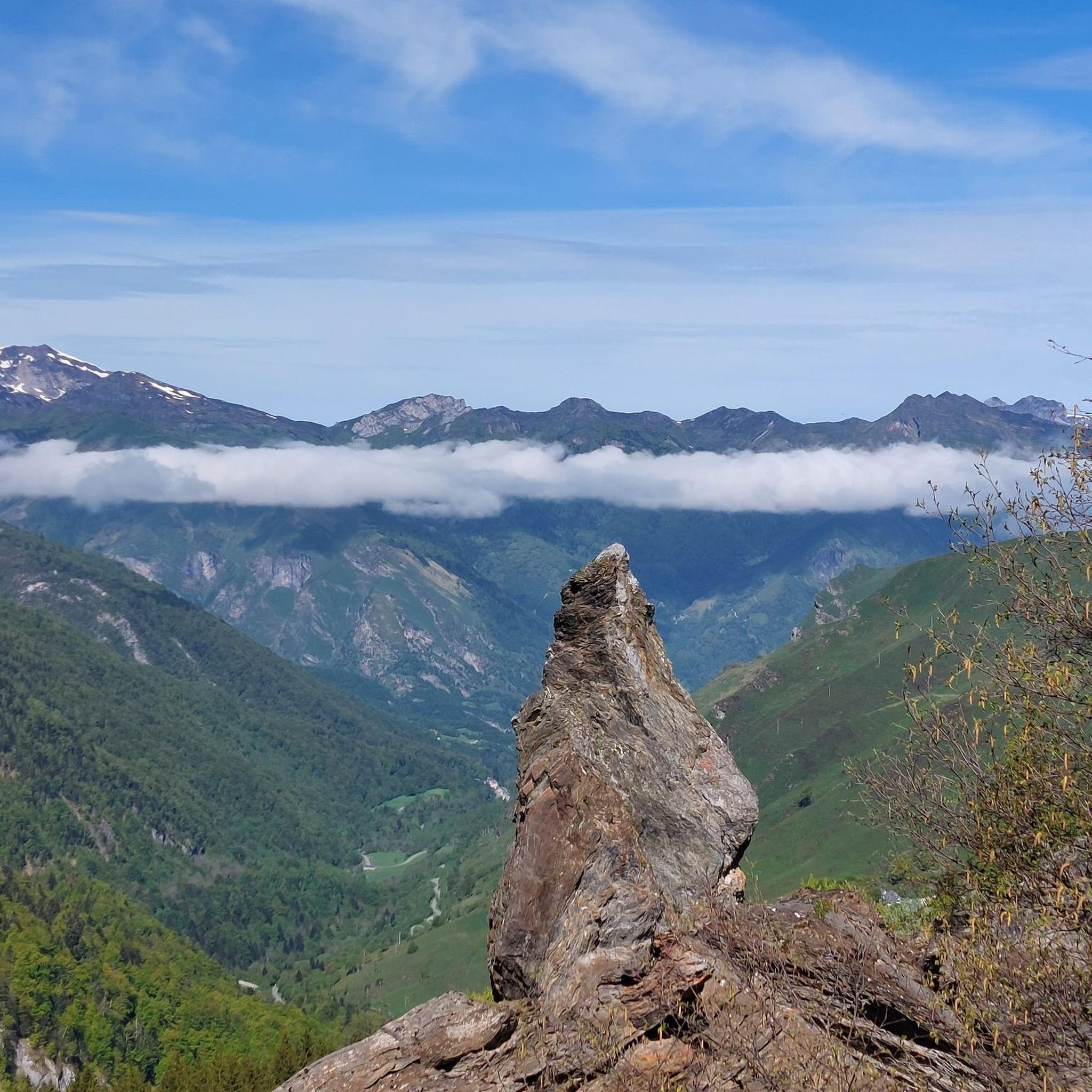
Hiking around Eaux-Bonnes
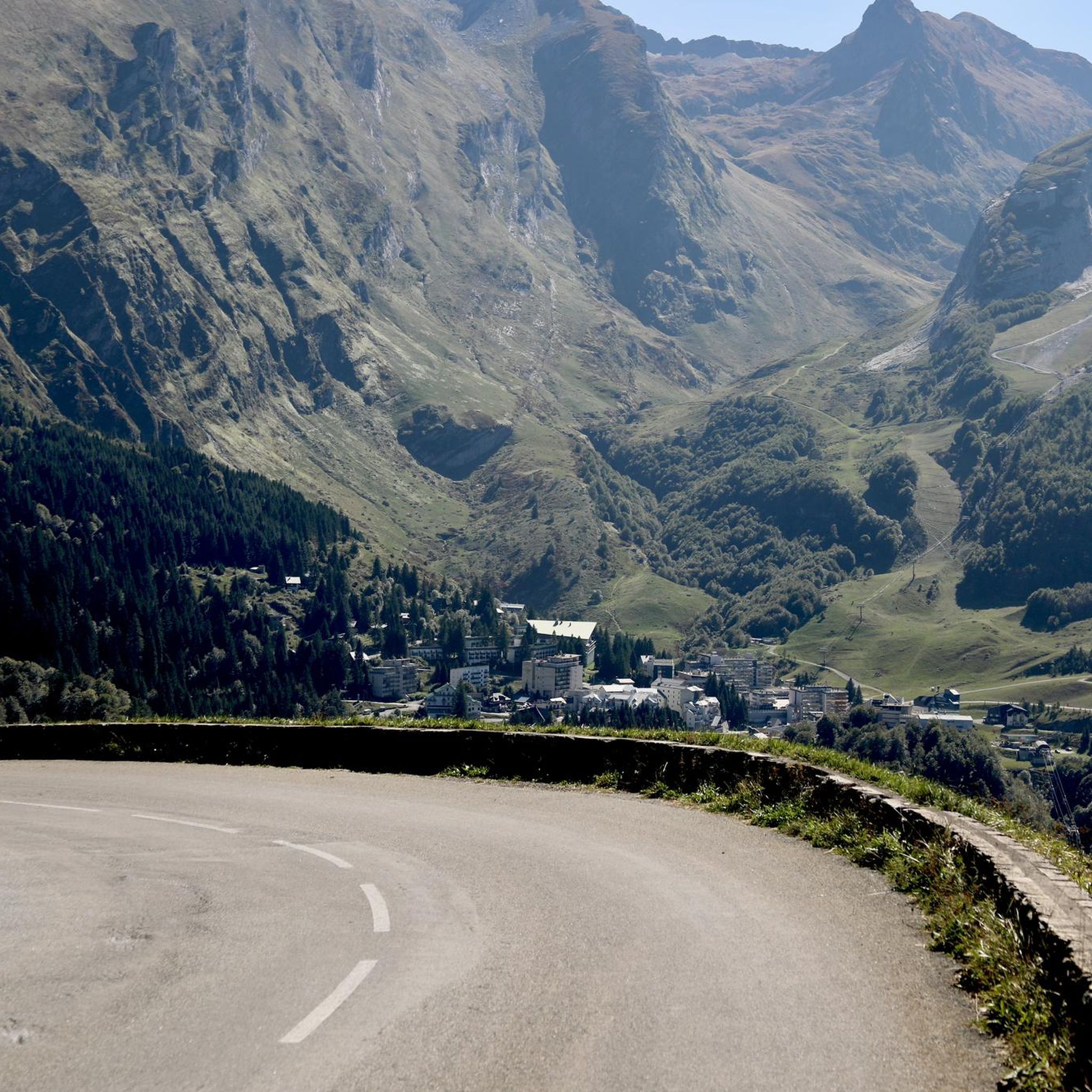
Cycling around Eaux-Bonnes
Other adventures around Eaux-Bonnes


Tips from the Community

A very nice climb. Be careful because there's a steep section. Check the altitude.
0
0

one of the most iconic and scenic climbs you can do IMHO. Beautiful 360 degree outlook at the top
1
0

Once you've done that, you'll want to drive even more mountains, it's just wonderful.
0
0

It is a beautiful port, very quiet, with a narrow and irregular road that drives very well. Both aspects are worth it, although they are very different. I like the east side better. It is a perfect alternative to climb the Col de Soulor, avoiding the busy passage through Argelès and the first part of the climb to Soulor.
0
0

One of the most beautiful roads in the Pyrenees
1
0

Start of the iconic 15 km climb with 1100 altitude meters
0
0

Beautiful cols and views. Remember in the descent that there can be a sheep or cow on the road after every bend
0
0

Brutal climb with great views. Classic from the Tour de France. Nice to make a round with the Soulor there.
1
0
Frequently Asked Questions
Which mountain passes around Eaux-Bonnes are most famous for cycling?
The Col d'Aubisque and the Col de Marie Blanque are legendary stages of the Tour de France, making them incredibly popular among cyclists. The Col d'Aubisque, at 1,709 meters, offers a challenging climb with an average gradient of 7.2% from Laruns. The Col de Marie Blanque, while lower at 1,035 meters, is known for its steep sections, particularly from Escot. Both passes are regular features in professional races and offer demanding ascents.
What are the best mountain passes for panoramic views near Eaux-Bonnes?
The Col d'Aubisque is renowned for its spectacular 360-degree panoramic views of the Pyrenean mountains, including the Cirque de Litor, the Ouzom valley, the Cirque de Gourette, and the imposing Pic de Ger. The Col du Soulor also offers beautiful mountain panoramas, especially from its eastern ascent, and a wonderful viewpoint over the Litor cirque where it connects to Aubisque.
Are there less crowded mountain passes for hiking around Eaux-Bonnes?
Yes, the Col de Lurdé offers a more secluded hiking experience. A loop hike from Eaux-Bonnes to the Col de Lurdé takes you through varied mountain landscapes, including forests and pastures, leading to magnificent views of prominent Pyrenean peaks like the Pic du Midi d'Ossau and the Balaïtous in a less crowded environment.
What kind of outdoor activities can I do near the mountain passes around Eaux-Bonnes?
The region offers a wide range of outdoor activities. Besides challenging cycling routes over passes like Aubisque and Marie Blanque, you can find numerous hiking trails suitable for various levels, such as the Sum de Grum or Crêtes d'Andreyt near Aubisque. For more specific routes, you can explore options for cycling, gravel biking, and running trails around Eaux-Bonnes.
When is the best time of year to visit the mountain passes near Eaux-Bonnes?
The best time to visit for cycling and hiking is typically from late spring to early autumn (June to October) when the passes are generally open and free of snow. During winter (December to June), some higher passes like the Col d'Aubisque are closed to vehicles due to snow, becoming ideal for snowshoeing and enjoying a wild, snow-covered landscape.
Are there any multi-day trekking opportunities involving the mountain passes?
Yes, the Col d'Arbaze, at 1,799 meters, is often incorporated into longer treks. It's part of multi-day hiking routes, such as a 9-day trek from Gourette to Estaing, winding between major Pyrenean passes. These routes are generally considered moderate to difficult and are ideal for experienced hikers seeking challenging adventures and panoramic views.
What historical significance do the mountain passes around Eaux-Bonnes hold?
The Col d'Aubisque is part of the historic 'Route des Cols', a spa road built in the 19th century at the request of Empress Eugénie. This road connected various spa towns in the Pyrenees, enhancing their accessibility and popularity. The pass's frequent inclusion in the Tour de France also adds to its rich sporting history.
What unique features can I expect at the summit of Col d'Aubisque?
At the summit of Col d'Aubisque, you'll find three giant sculptures of bicycles, painted in the colors of the Tour de France, commemorating its cycling legacy. Beyond these iconic markers, the summit offers breathtaking 360-degree panoramic views of the surrounding Pyrenean peaks and valleys.
Is there a scenic route connecting Col du Soulor and Col d'Aubisque?
Yes, the Route from Soulor to Aubisque (Cirque du Litor) is a particularly scenic intermediate mountain pass route. This section runs along the mountainside, featuring tunnels directly dug into the rock and offering stunning views of the Cirque du Litor.
What makes the Col de Marie Blanque challenging for cyclists?
Despite its lower altitude of 1,035 meters, the Col de Marie Blanque is known for its challenging and steep gradients. The ascent from Escot, in particular, features sections exceeding 13%, making it a demanding climb even for experienced cyclists. The climb from Louvie-Juzon is 15 kilometers long with an average of 4.1%, but includes passages at 8.5%.
Are there any alternative, quieter routes to access the higher passes?
Yes, for example, when climbing towards the Col du Soulor from Argeles-Gazost, you can take alternative routes via the Col de Spandelles and Ferrieres, or via St Savin, Estaing, and the Col des Bordères. These options offer quieter roads and beautiful landscapes, though they may involve a bit of extra climbing.
Most popular routes around Eaux-Bonnes
Most popular attractions around Eaux-Bonnes

Get inspired with the komoot mobile app


Explore more
See even more epic mountain passes by checking out these guides around Eaux-Bonnes:
