The best running trails around Lacourt
4.3
(28)
1,125
runners
133
runs
Jogging around Lacourt offers a diverse landscape for runners, characterized by its position in the foothills of the Pyrenees. The region features a mix of river valleys, rolling hills, and forested areas, providing varied terrain for different running preferences. Elevation changes are common, ranging from gentle slopes to more challenging ascents, making it suitable for both easy jogging routes and long distance running trails.
Best jogging routes around Lacourt
- The most popular jogging route is Grotte des Fadettes loop from…
Last updated: August 13, 2026
22
runners
8.43km
00:54
80m
80m
Moderate run. Good fitness required. Mostly paved surfaces. Suitable for all skill levels.
12
runners
13.4km
01:50
460m
460m
Hard run. Very good fitness required. Sure-footedness, sturdy shoes and alpine experience required.

Sign up for free
12
runners
5.18km
00:33
40m
40m
Moderate run. Good fitness required. Mostly paved surfaces. Suitable for all skill levels.
7
runners
10.9km
01:44
690m
690m
Hard run. Very good fitness required. Mostly accessible paths. Some sure footedness required.
5
runners
14.2km
02:02
650m
650m
Hard run. Very good fitness required. Sure-footedness, sturdy shoes and alpine experience required.
Get access to more routes and recommendations from other explorers.
Sign up for free
Already have an account?
Our route recommendations are based on thousands of hikes, rides, and runs completed by other people on komoot.
Start today with a free account
Your next adventure awaits.
Login or Signup


Tips from the Community


Saint-Girons is a charming small town at the foot of the Pyrenees in the Ariège department in southern France. It is considered the gateway to the wild and authentic landscapes of Couserans. The town is particularly known for its lively weekly market, its cozy alleys, and its relaxed atmosphere. Hikers and nature lovers appreciate Saint-Girons as an ideal starting point for tours in the surrounding mountains. The mix of French flair, history, and nature makes the town a worthwhile destination.
2
0

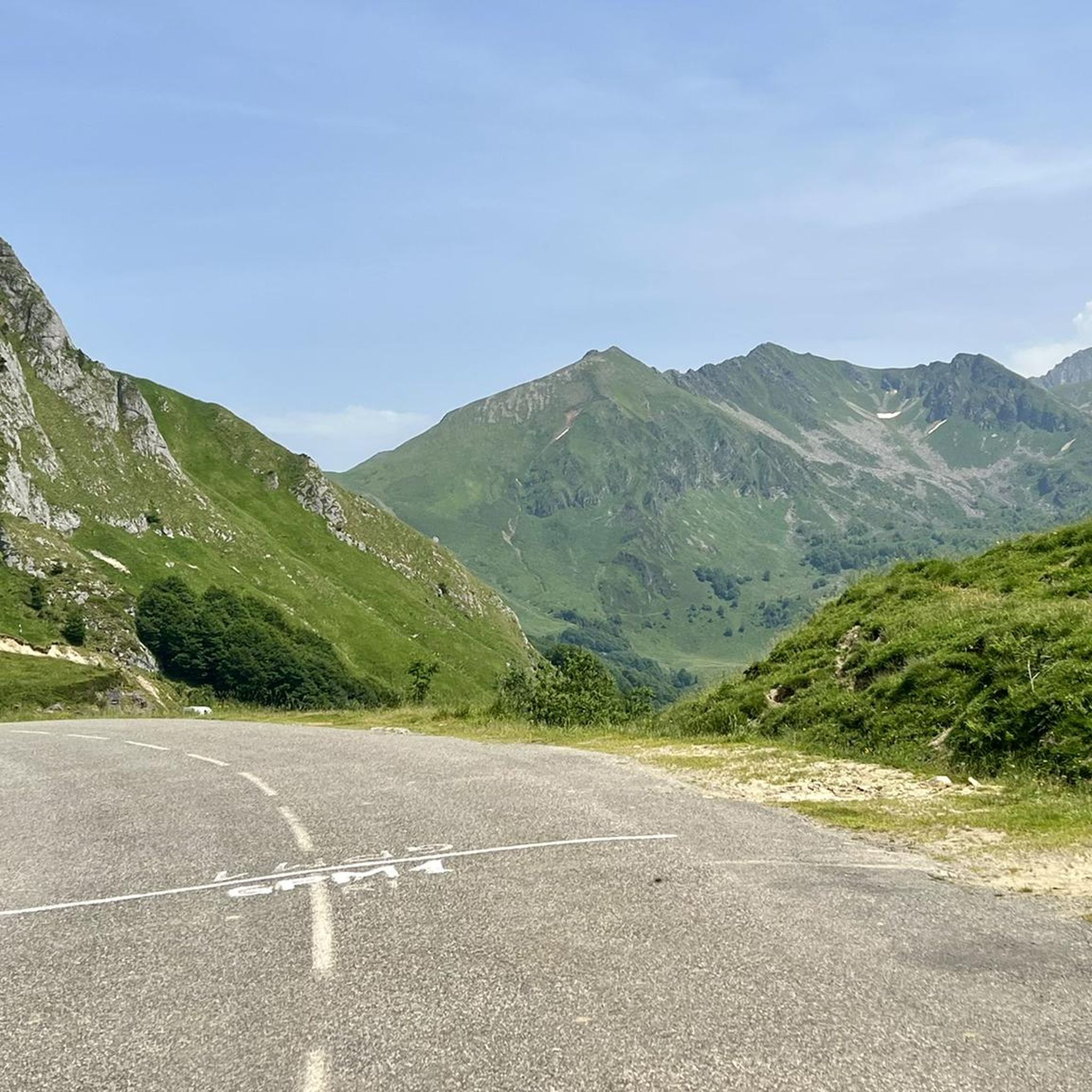
The climb is on an off-center road, so little traffic. The ascent is partly in the shade and offers some breathtaking landscapes during certain turns!
1
0


Saint-Girons ([sɛ̃ʒiʁɔ̃][1], in Gascon Sent Gironç) is a French commune located in the west of the department of Ariège, in the Occitanie region. Its name was given in homage to Girons d'Hagetmau, evangelizer of Novempopulania. Historically and culturally, the town is part of Couserans, a country with Gascon roots structured by the course of the Salat. Exposed to an altered oceanic climate, it is drained by the Salat, the Lez, the Baup and various other small rivers. Included in the regional natural park of the Ariège Pyrenees, the town has a remarkable natural heritage: a Natura 2000 site (“Garonne, Ariège, Hers, Salat, Pique and Neste”), a protected area (the “cliffs of Sourroque”) and two natural areas of ecological, faunal and floristic interest. Saint-Girons is an urban commune with 6,415 inhabitants in 2020. It belongs to the urban unit of Saint-Girons and is part of the Saint-Girons attraction area. Its inhabitants are called Saint-Gironnais or Saint-Gironnaises or Gironnais. "Capital" of Couserans, the city is one of the two sub-prefectures of Ariège with Pamiers, the prefecture being Foix. It is part of the community of Couserans-Pyrenees municipalities and the regional natural park of the Ariège Pyrenees.
0
0
Frequently Asked Questions
How many running routes are available around Lacourt?
Lacourt offers a wide selection of running routes, with over 150 trails available. These range from easy jogs to more challenging long-distance runs, catering to various fitness levels.
Are there easy running paths suitable for beginners in Lacourt?
Yes, Lacourt has several easy running paths perfect for beginners. There are at least 6 routes classified as easy, allowing for a gentle introduction to running in the region's beautiful landscape.
What kind of terrain can I expect on the running trails in Lacourt?
The terrain around Lacourt is quite varied, situated in the foothills of the Pyrenees. You'll find a mix of river valleys, rolling hills, and forested areas. Expect elevation changes, from gentle slopes ideal for a relaxed jog to more challenging ascents on longer trails.
Are there any circular running routes in the area?
Many of the running routes in Lacourt are circular, offering convenient starting and ending points. For example, the Running loop from Eycheil is a popular circular option, covering 3.2 miles through rolling countryside.
Can I bring my dog on the running trails in Lacourt?
Generally, dogs are welcome on most trails in the Lacourt region, especially if kept on a leash. It's always a good idea to check local signage for any specific restrictions, particularly in nature reserves or protected areas. The varied terrain and natural surroundings make it a great place to run with your canine companion.
What are some interesting sights or landmarks I might encounter on a run?
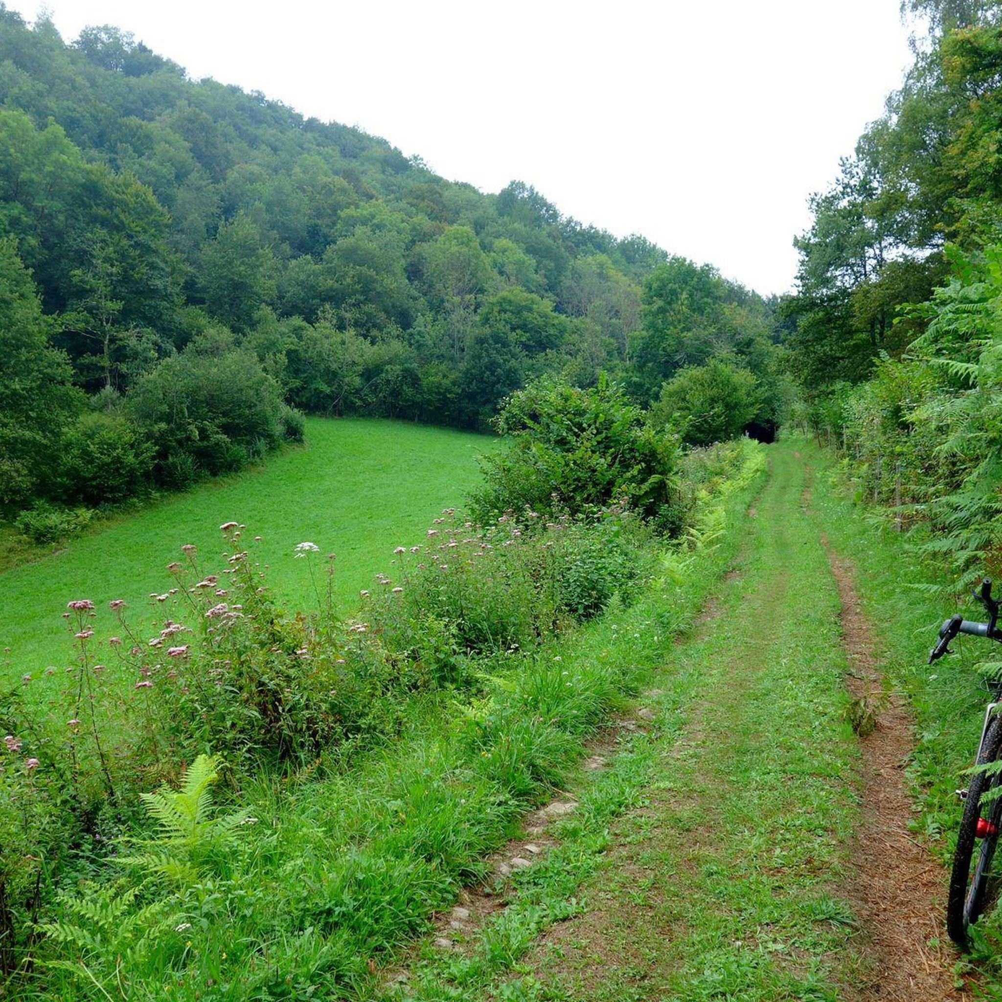
While running around Lacourt, you can discover various points of interest. You might pass by parts of the Foix–Saint-Girons Greenway or even the historic tunnels of Véloroute 81. The region also features natural highlights like the Lake Bethmale, offering scenic views.
Are there any challenging long-distance running trails in Lacourt?
Yes, for those seeking a greater challenge, Lacourt offers several difficult long-distance running trails. An example is the Tête d'Ane loop from Saint-Girons, a demanding 8.3-mile route with significant elevation changes, perfect for experienced runners.
What do other runners say about the trails in Lacourt?
The running routes in Lacourt are highly regarded by the komoot community, boasting an average rating of 4.4 stars from over 27 reviews. Runners often praise the diverse landscape, the mix of river valleys and forested hills, and the options available for different ability levels.
When is the best time of year for running in Lacourt?
The best time for running in Lacourt generally spans from spring through autumn, when the weather is mild and the natural scenery is vibrant. Summer offers longer daylight hours, but be mindful of warmer temperatures. Winter running is possible, especially on lower elevation trails, but some higher routes might be affected by snow or ice, typical of the Pyrenees foothills.
Are there routes that offer significant elevation gain for hill training?
Absolutely. Given its location in the Pyrenees foothills, Lacourt has routes with substantial elevation gain. For a challenging climb, consider the Catchaudégué Pass loop from Col de Catchaudégué, which features over 690 meters of ascent, ideal for serious hill training.
Are there running routes accessible by public transport or with nearby parking?
Accessibility varies by route. Many trails, especially those starting from towns like Saint-Girons, often have nearby parking facilities. For public transport, it's best to check specific route starting points, as options might be more limited in rural areas. Planning your route on komoot can help identify convenient access points.
Most popular attractions around Lacourt

Get inspired with the komoot mobile app


Explore more
Browse the best Running Trails & Routes in other regions.
