The best mountain hikes around Génat
5.0
(2)
7
hikers
3
hikes
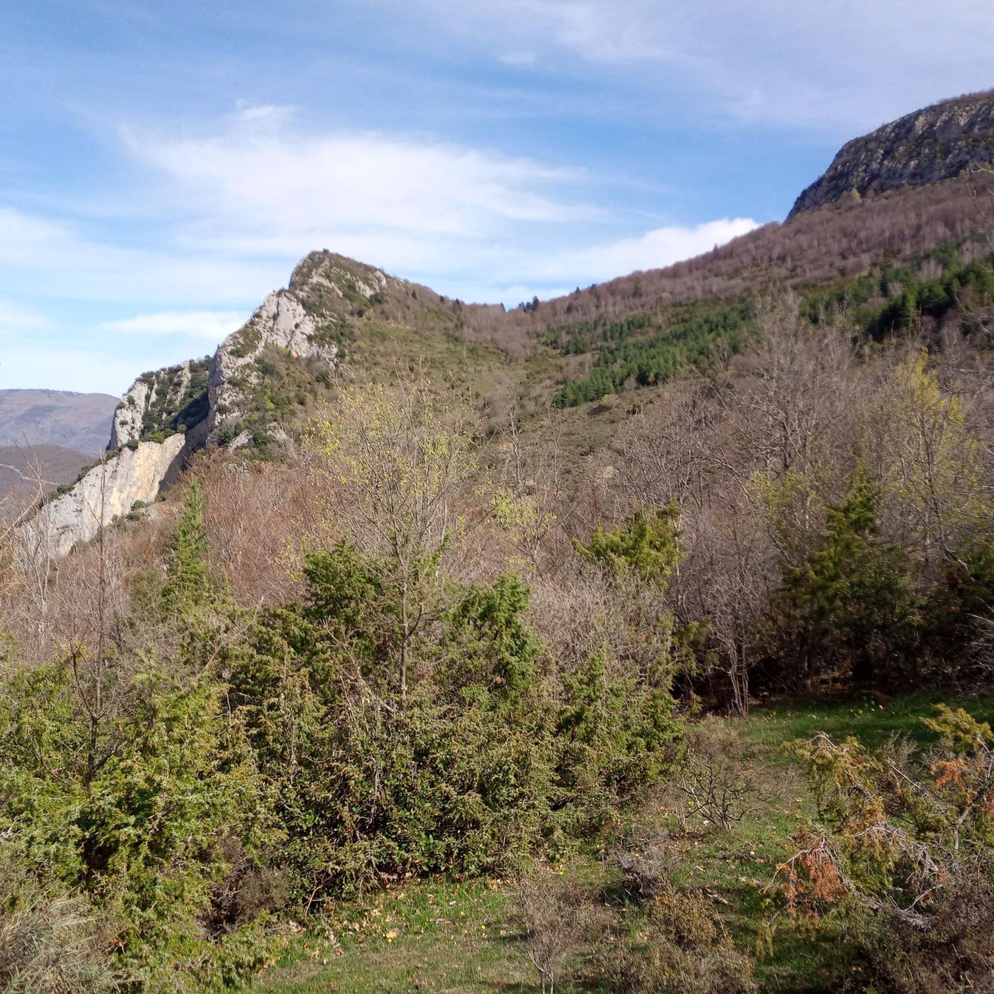
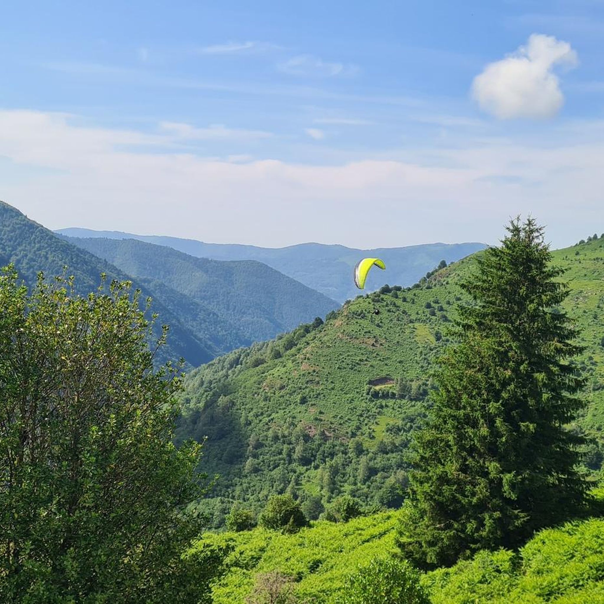
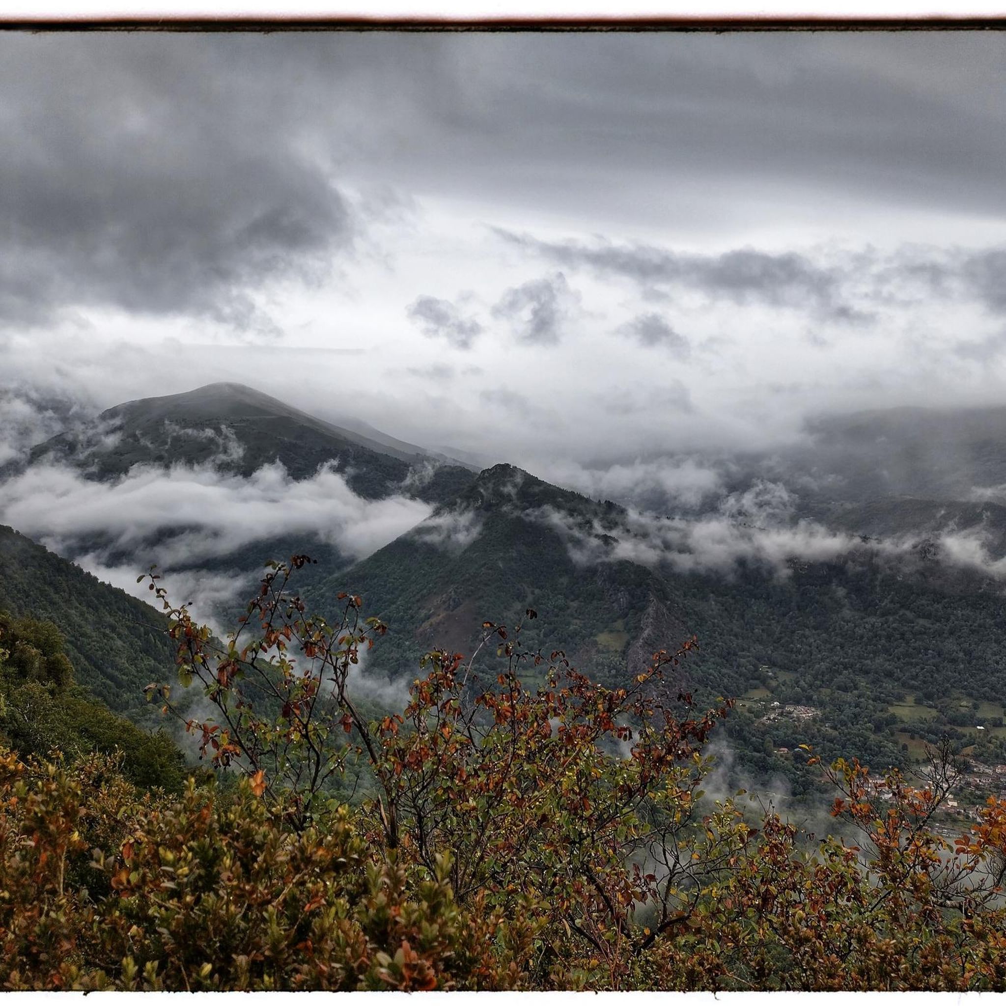
Mountaineering routes around Génat are situated within the Pyrénées Ariégeoises Regional Natural Park, offering a diverse and rugged landscape. The region is characterized by majestic peaks, rocky chasms, and limestone formations, providing varied terrain for outdoor pursuits. Elevations typically range around 900 to 950 meters, with some routes extending to higher alpine environments. This area serves as a gateway to more extensive mountaineering challenges within the broader Pyrenees mountain range.
Best mountaineering routes around Génat
- The most popular mountaineering route…
Last updated: July 4, 2026
5.0
(1)
4
hikers
14.6km
07:13
1,160m
1,160m
Hard mountaineering route. Very good fitness required. Sure-footedness, sturdy shoes and alpine experience required.
2
hikers
Moderate mountaineering route. Good fitness required. Easily-accessible paths. Suitable for all skill levels.

Sign up for free
5.0
(1)
1
hikers
Moderate mountaineering route. Good fitness required. Mostly accessible paths. Sure-footedness required.
Our route recommendations are based on thousands of hikes, rides, and runs completed by other people on komoot.
Start today with a free account
Your next adventure awaits.
Login or Signup


Tips from the Community


A magnificent peak, accessible to any experienced hiker. However, you must be careful to wait until the snow has completely melted before making the ascent.
1
0

Climb made by the Col de la Pourtanelle quite physical up to the Pic des Trois Seigneurs
1
0

Beautiful city that deserves a stopover.
0
0

According to legend, following the victory over the Saracens at Pré Lombard in 778, Charlemagne witnessed an apparition. A lady radiant with beauty then appears and immediately disappears. At dawn, the ground is plowed and a bronze statue of Notre-Dame-de-la-Victoire emerges from the ground. Transported to the church of Foix, the statue miraculously returned to Sabart twice: “This is where Our Lady wants to be honored.” Thus was decided the erection of a chapel dedicated to Notre-Dame-de-la-Victoire. The chapel that we can currently see has its origins in a Romanesque church rebuilt in 1104 on a Carolingian church partly destroyed in 865. But it was largely remodeled in the 16th and 19th century. The facade has some granite stones from the 11th century, the remaining bell tower-façade copy only dates from 1842 and the crenellated keep is only from 1870. Having thus resisted numerous destructions, the chapel became an emblematic monument of the Pyrenean region. Sabarthès, in the upper Ariège valley. Even today, an important pilgrimage is held there in September each year.
0
0

Beautiful town with idyllic river views.
0
0

Located downstream of the Ariège in relation to the town of Foix, this very pretty town is the ideal base camp for many excursions in the surrounding mountains. The upper town was once fortified, and you can still make out the Castella tower which overlooks Tarascon. Every year, in May, the big Fair takes place in the town where many specific animals of the region such as Merens horses and Gascon cows are presented to the public. These two endemic species are the pride of breeders.
0
0

A peak that rises to 2,199 meters above sea level and offers a magnificent view of the Pyrenees.
1
0
Frequently Asked Questions
How many mountaineering routes are available around Génat?
There are 6 mountaineering routes detailed in this guide for the Génat area. These routes offer a range of experiences within the Pyrénées Ariégeoises Regional Natural Park.
What kind of terrain can I expect on mountaineering routes in Génat?
The routes around Génat are characterized by authentic mountain terrain, including majestic peaks, rocky chasms, and limestone formations. You'll encounter varied landscapes, from lush nature to more rugged, higher alpine environments, typical of the Ariège Pyrenees.
Are there any circular mountaineering routes around Génat?
Yes, several routes are circular. For example, the Étang d'Artax – Roc de Querquéou loop from Gourbit is a challenging 7.5-mile (12.1 km) trail, and the Embans Circus loop from Parking du Ressec offers a difficult 6.1-mile (9.8 km) path with scenic views.
What are some notable natural features or attractions I can see along these routes?
The region is rich in natural beauty. You might encounter features like the Roc de Querquéou viewpoint, offering expansive vistas. The broader Pyrénées Ariégeoises Regional Natural Park also features crystal-clear lakes and magnificent waterfalls, such as the Cascades de la Piche.
What is the best season for mountaineering in Génat?
While Génat's rock climbing is favorable year-round, mountaineering in the broader Pyrenees typically benefits from warmer, drier conditions. The extensive climbing season suggests that many routes are accessible for a significant portion of the year, but specific high-alpine conditions will vary with the season.
Are there options for advanced mountaineers looking for a challenge?
Absolutely. Many routes around Génat are rated as difficult, offering significant elevation gain and rugged terrain. The Pic des Trois Seigneurs loop from Parking du Ressec, for instance, is a challenging 9.1-mile (14.7 km) route with over 1,100 meters of ascent, leading to the Three Lords' Peak.
Where can I find parking for these mountaineering routes?
Many routes, especially those leading to popular areas, often have designated parking. For example, the Embans Circus loop and the Pic des Trois Seigneurs loop both start from Parking du Ressec, indicating available facilities there.
Are there any moderate routes for those not seeking extreme challenges?
Yes, there are moderate options available. The Notre-Dame de Sabart Chapel – Tarascon-sur-Ariège loop from Tarascon-sur-Ariège is a moderate 9-mile (14.5 km) route, offering a less strenuous experience while still providing beautiful mountain scenery and passing the Notre-Dame de Sabart Chapel.
What makes Génat a good base for mountaineering in the wider Pyrenees?
Génat's location within the Pyrénées Ariégeoises Regional Natural Park positions it as an excellent gateway to the broader Pyrenees mountain range. The region offers a true 'mountain' atmosphere with diverse terrain, making it a suitable starting point for those looking to explore more extensive high-alpine mountaineering challenges further afield.
How do other mountaineers rate the routes around Génat?
The mountaineering routes around Génat are highly rated by the komoot community, with an impressive average score of 4.9 out of 5 stars from 6 reviews. More than 30 mountaineers have already used komoot to explore this varied terrain, indicating a positive and rewarding experience.
Are there any less crowded mountaineering routes in the area?
While specific crowd levels can vary, exploring routes slightly off the most popular paths or visiting during off-peak times can offer a more solitary experience. The Mont Fourcat loop from Arnave, for example, provides a beautiful 7.7-mile (12.4 km) journey through varied mountain landscapes that might offer quieter sections.
Most popular attractions around Génat

Get inspired with the komoot mobile app


Explore more
Browse the best Mountain Hikes & Routes in other regions.
