The best running trails around Massat
4.1
(22)
985
runners
72
runs
Jogging around Massat offers access to the mountainous terrain of the Ariège Pyrenees. The region is characterized by significant elevation changes, with routes often traversing high-altitude passes and forested slopes. Running trails frequently feature challenging climbs and descents, providing a demanding experience for runners. The landscape includes a mix of open mountain views and areas of dense woodland.
Best jogging routes around Massat
- The most popular jogging route is Port de Lers – Étang d'Arbu loop from Port de Lers…
Last updated: July 4, 2026
29
runners
7.42km
01:24
490m
490m
Hard run. Very good fitness required. Sure-footedness, sturdy shoes and alpine experience required.
11
runners
5.64km
01:20
520m
520m
Hard run. Very good fitness required. Sure-footedness, sturdy shoes and alpine experience required.

Sign up for free
4
runners
6.57km
00:55
210m
210m
Hard run. Good fitness required. Sure-footedness, sturdy shoes and alpine experience required.
6
runners
9.80km
01:14
450m
450m
Hard run. Very good fitness required. Mostly paved surfaces. Suitable for all skill levels.
7
runners
5.84km
00:50
260m
260m
Moderate run. Good fitness required. Mostly paved surfaces. Suitable for all skill levels.
Get access to more routes and recommendations from other explorers.
Sign up for free
Already have an account?
Our route recommendations are based on thousands of hikes, rides, and runs completed by other people on komoot.
Start today with a free account
Your next adventure awaits.
Login or Signup


Tips from the Community

I climbed it from its easier side, the one that starts from Foix and stretches for 28 kms, crossing the Col de Marrous. It's a steady climb, with a few tough kilometers, and very pleasant. It's the side used by the Tour de France to descend it. The best thing about the Mur de Peguère are the views from its summit.
0
0
It is a MUST of the Pyrenees, without a doubt, that should be included in any route that crosses the Pyrenees from side to side. Any of its slopes 2 is spectacular and tough. The views from its summit are wonderful, feeling the wild side of the Pyrenees. Of course, once at the summit of this pass... you have to descend to the Étang de Lers and enjoy a quiet rest on the shores of the lake. It is a pass that has been part of the Tour de France route on several occasions, although always far from the finish line. The first professional rider to crest it in the lead was the unforgettable Marco Pantani in 1995.
0
0

I liked the climb from the north side (from Massat), very scenic and alpine landscapes towards the end at the étang de Lers
0
0

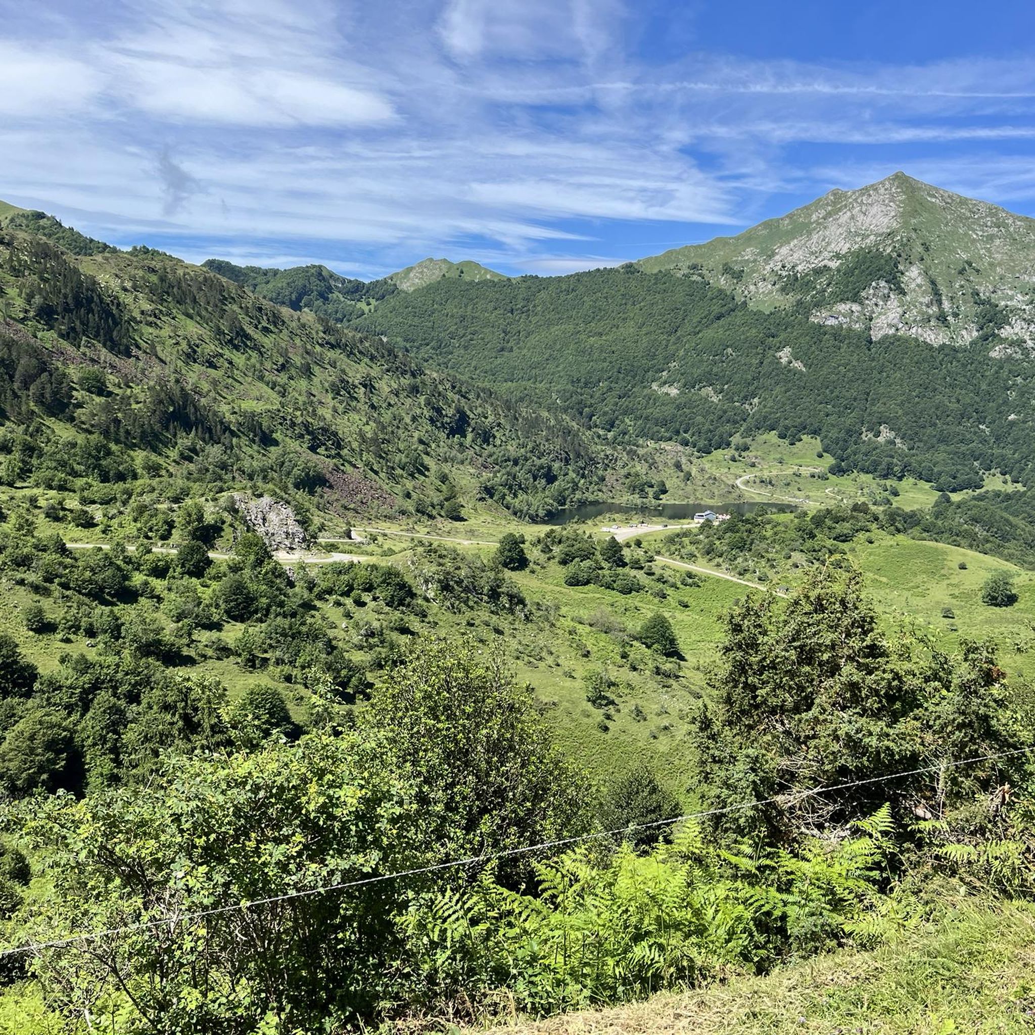
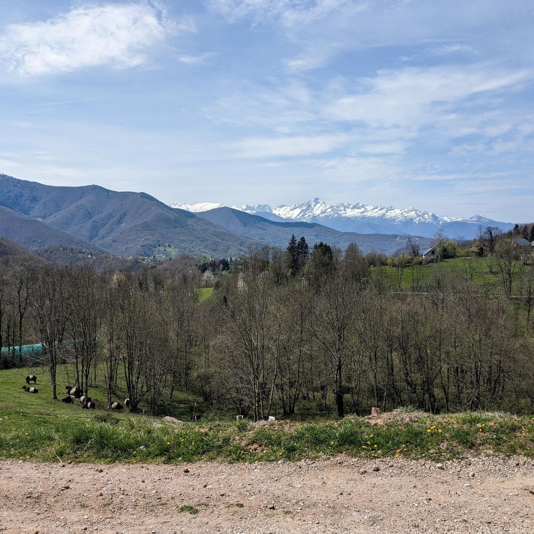
Magnificent site with a 360° panorama of the cross-border chain and valleys.
0
0


The Port of Lers is a crossing point which offers a beautiful panorama where you may be lucky enough to see Mertens black horses. It is also a place which has seen the Tour de France pass many times.
1
0

The Col de Péguère, called Mur de Péguère since the Tour de France, is a Pyrenean road pass in the Arize massif, located on the border of the municipal territories of Boussenac and Sentenac-de-Sérou, in Ariège.
0
0
Frequently Asked Questions
Are there any easy running routes around Massat for beginners?
The running trails around Massat are generally characterized by mountainous terrain and significant elevation changes. According to our data, there are no routes classified as 'easy'. Most of the 63 available running routes are rated as 'moderate' (27 routes) or 'difficult' (36 routes), making the area more suitable for runners seeking a challenge.
What kind of terrain can I expect on jogging routes in Massat?
Jogging around Massat primarily involves mountainous terrain within the Ariège Pyrenees. You can expect routes with significant elevation changes, often traversing high-altitude passes and forested slopes. The landscape offers a mix of open mountain views and dense woodlands, providing a demanding experience for runners.
Are there any long-distance running trails in the Massat area?
While many routes feature challenging climbs, the longest running route listed is Le Picou loop from Le Bosc, which covers 11.8 km (7.3 miles) with over 600 meters of elevation gain. This difficult trail offers a substantial workout for those looking for a longer run.
Can I find circular running routes in Massat?
Yes, many of the running routes in Massat are designed as loops, allowing you to start and finish at the same point. For example, the popular Port de Lers – Étang d'Arbu loop from Port de Lers is a 7.4 km circular trail, and the Pic d'Estibat – Turon Ner loop from Col de Port is a 9.9 km loop offering panoramic views.
What are some scenic viewpoints or landmarks I can see while running in Massat?
The Massat region is rich in natural beauty. Many running routes offer stunning views of the Pyrenees. You might encounter various mountain passes such as Agnès Pass or Lers Pass. Peaks like Estibat Peak also offer impressive vistas.
Are the running trails in Massat suitable for families?
Given the predominantly mountainous terrain and the classification of most routes as 'moderate' or 'difficult', many of the running trails around Massat might be challenging for younger children or families looking for very easy, flat paths. It's advisable to check the specific route details for elevation and distance to determine suitability for your family.
What do other runners say about the trails in Massat?
The running trails in Massat are highly regarded by the komoot community, with an average score of 3.9 stars from over 10 reviews. Nearly 1,000 runners have used komoot to explore the varied and challenging terrain, often praising the stunning mountain views and the demanding nature of the routes.
Are there any running routes that start directly from Massat village?
Yes, you can find routes that begin directly from the village. For instance, the Running loop from Massat is a 6.6 km trail that starts and ends in the village, offering a convenient option for local runs.
What is the best time of year for running in Massat?
The mountainous nature of Massat means that spring, summer, and early autumn generally offer the most favorable conditions for running, with milder weather and less chance of snow at higher elevations. Winter running can be challenging due to snow and ice, especially on higher passes, requiring appropriate gear and caution.
Are there any specific challenges to be aware of when running in Massat?
Runners in Massat should be prepared for significant elevation changes, as routes frequently feature challenging climbs and descents. The terrain can be rugged, and weather conditions in the mountains can change rapidly. Always carry appropriate gear, water, and inform someone of your planned route.
Are there any dog-friendly running trails in the Massat region?
While specific restrictions for dogs on individual trails are not always noted, generally, dogs are welcome on many trails in the Massat area, especially if kept on a leash. However, given the presence of livestock in some mountain pastures, it's always best to keep your dog under control and respect local signage regarding animals.
Where can I find parking for the running routes in Massat?
Many of the popular running routes, especially those starting from mountain passes, offer designated parking areas. For example, routes like the Port de Lers – Étang d'Arbu loop and the Port de Lers – Mont Ceint loop typically start from Port de Lers, where parking facilities are available. For routes starting from villages, street parking or small public car parks are usually an option.
Most popular attractions around Massat

Get inspired with the komoot mobile app


Explore more
Browse the best Running Trails & Routes in other regions.
