Les Adrets-De-L'Estérel
Les Adrets-De-L'Estérel
Top 14 Mountain Passes around Les Adrets-De-L'Estérel
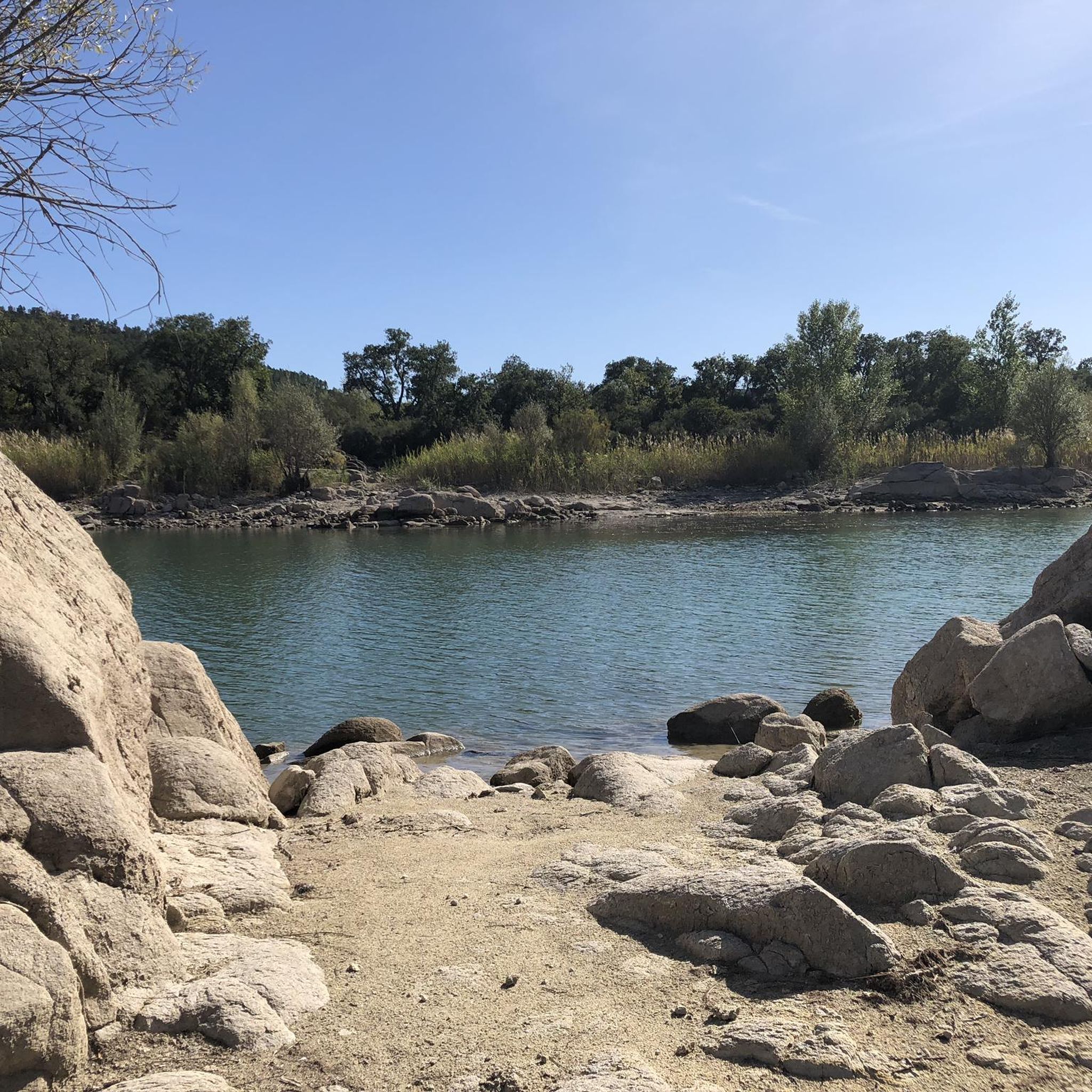
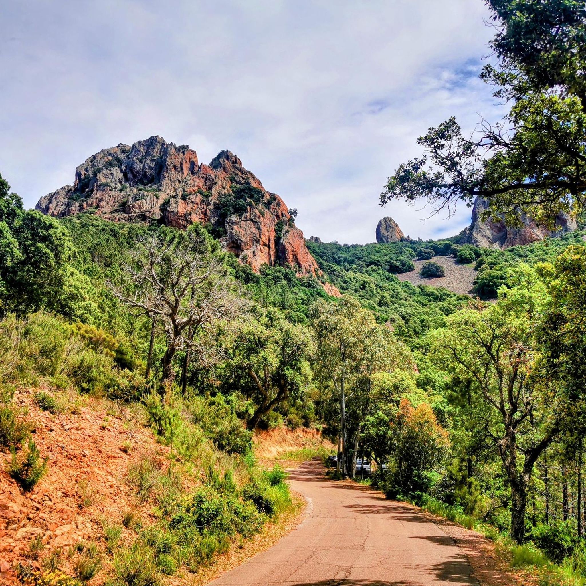
Best mountain passes around Les Adrets-De-L'Estérel offer access to the Estérel massif, a volcanic coastal mountain range characterized by striking red rock formations and Mediterranean scenery. The area provides diverse terrain for outdoor activities. Rugged landscapes, deep ravines, and extensive oak forests define the region. The contrast of red rhyolite rock against the blue of the Mediterranean Sea creates a distinct visual experience.
Best mountain passes around Les Adrets-De-L'Estérel
- The most popular mountain pass is Notre-Dame Pass, a mountain pass accessible both paved and unpaved. It serves as a starting point for walking and cycling tours.
- Another must-see spot is Col de Lauragais Descent to Fréjus, a mountain pass with a clear, well-maintained road. This route offers a descent that is appreciated by cyclists.
- Visitors also love Cadière Pass, a mountain pass and major intersection of many trails. It provides viewpoints and access to both stony and technical trails.
- Les Adrets-De-L'Estérel is known for mountain passes, viewpoints, and trails. The region offers a variety of routes for cycling and hiking.
- The mountain passes around Les Adrets-De-L'Estérel are appreciated by the komoot community, with 394 upvotes and 59 photos shared.
Last updated: July 10, 2026
Notre-Dame Pass
Highlight • Mountain Pass
Translated by Google •
Tip by

Col de Théoule
Highlight • Mountain Pass
Translated by Google •
Tip by

Sign up now to discover places like this
Get recommendations on the best single tracks, peaks, & plenty of other exciting outdoor places.
Sign up for free
Tanneron Pass
Highlight • Mountain Pass
Translated by Google •
Tip by

Descent from Col de l'Auriasque towards Fréjus
Highlight (Segment) • Mountain Pass
Translated by Google •
Tip by

Cadière Pass
Highlight • Mountain Pass
Tip by

Sign up for free to discover even more mountain passes around Les Adrets-De-L'Estérel.
Sign up for free
Already have an account?
Start today with a free account
Your next adventure awaits.
Login or Signup

Tips from the Community

I would be happy to give you another tip in the area. From Theoule sur Mer you drive south along the coastal road, past La Figueirette, after the Calanque de Maupas and the Calanque de Maubois you reach Cap Roux. There is a parking lot and a building on the left side of the road (sea side). You can park there. Then continue south along the road for about 200 m. There you go right up to Pic Roux. There is an information board right on the street. At first the road is tarred, after about 30 minutes it turns into natural paths. The hike to Pic Roux takes about 1.45 hours and is very well described. At the summit there is a great view of the Calanques and towards Cannes. Bring a picnic and enjoy the wonderful view from the “peak”. Amusez - vous bien!
2
1

The Peygros oppidum, located three kilometers northeast of the community, documents pre-Roman settlement in the area. The place was first mentioned as Castrum Tannaroni in 1200. The name may come from the root word tan, which refers to the bark of chestnuts and oaks, or it may go back to a pre-European root, according to which tan means mountain. The village belonged to the territory of Grasse and became an independent municipality in 1825 when it separated from Callian.
2
0

The slope is rather constant: to climb to the train. Turn around during the climb (from Pegomas): you can see the Lérins Islands.
0
0

Beautiful trails, stony and technical at times, but so beautiful! Have good sturdy tires, otherwise beware of the risk of punctures!
0
1

View of the sea and the Southern Alps, great landscape
1
0

Great point of view. Accessible in gravel
0
0

Major intersection of many trails and a closed road
0
0
Frequently Asked Questions
What are some of the most popular mountain passes around Les Adrets-De-L'Estérel?
Visitors frequently enjoy Notre-Dame Pass, which is accessible both paved and unpaved and offers breathtaking views. Another favorite is Col de Lauragais Descent to Fréjus, known for its clear, well-maintained road, especially appreciated by cyclists. Cadière Pass is also highly rated as a major intersection for many trails with excellent viewpoints.
What kind of natural features can I expect to see at these mountain passes?
The mountain passes around Les Adrets-De-L'Estérel are set within the stunning Estérel massif, characterized by its striking red rhyolite rock formations, deep ravines, and extensive oak forests. You'll witness a dramatic contrast between the vibrant red rocks and the intense blue of the Mediterranean Sea. Many passes offer panoramic views of the coastline, valleys, and even the Alps on clear days.
Are there good hiking opportunities near the mountain passes?
Yes, the region is a paradise for hikers. Passes like Cadière Pass and Col de Belle Barbe serve as excellent starting points for numerous trails. You can find diverse routes, from moderate walks with rewarding views to more technical paths. For a comprehensive list of trails, explore the Hiking around Les Adrets-De-L'Estérel guide.
What cycling routes are available from the mountain passes?
The mountain passes are very popular with cyclists. For instance, Col du Testanier is known for its gradual yet consistent climb, leading to routes like Mont Vinaigre. Col de Lauragais Descent to Fréjus offers a fantastic descent on a freshly tarred road. You can find various road cycling options in the Road Cycling Routes around Les Adrets-De-L'Estérel guide.
What is the best time to visit the mountain passes in the Estérel massif?
The Estérel massif is beautiful year-round, but spring and autumn offer the most pleasant temperatures for outdoor activities like hiking and cycling. In spring, the landscape is particularly vibrant with blooming flora, and the Lac de l'Ecureuil near Col de Belle Barbe is especially enchanting. Summer can be hot, making early mornings or late afternoons ideal for activities, while winter offers cooler, often clear days for stunning views.
Are there any mountain passes suitable for beginners or those looking for an easier experience?
While many trails can be stony and technical, there are options for varying skill levels. Passes like Col du Testanier offer gradual climbs suitable for cyclists, and from Col de Belle Barbe, you can access picturesque routes that wind through diverse landscapes, some of which are less strenuous. Always check the difficulty rating of specific trails before you go.
What kind of views can I expect from the mountain passes?
The mountain passes offer spectacular panoramic views. From points accessible via Col du Testanier, you can get 360-degree views of the Estérel massif, the coastline from Cannes to Saint-Tropez, the Argens valley, and even the distant Alps. Passes like Cadière Pass provide magnificent vistas of the mountains, Théoule Bay, Mandelieu, and Cannes, showcasing the stunning contrast of red rock, green forests, and the azure Mediterranean Sea.
What do visitors particularly enjoy about the mountain passes in this region?
Visitors consistently praise the breathtaking views, especially the dramatic contrast between the red rocks and the blue sea. Many appreciate the well-maintained roads for cycling and the diverse network of trails for hiking. The tranquility and natural beauty, such as serene lakes and small waterfalls, are also frequently highlighted as enjoyable aspects of the experience.
Can I find running trails near the mountain passes?
Yes, the area around Les Adrets-De-L'Estérel offers several running trails that can be accessed from or near the mountain passes. These range from easy loops to more challenging routes with significant elevation changes. For detailed running options, refer to the Running Trails around Les Adrets-De-L'Estérel guide.
Is there parking available near the mountain passes?
While specific parking details vary by pass, many popular starting points for trails and cycling routes, such as those near Col de Belle Barbe or the route to Mont Vinaigre from Col du Testanier, typically have designated parking areas. It's advisable to check specific trailheads or highlight descriptions for parking information before your visit.
What is the geological significance of the Estérel massif?
The Estérel massif is renowned for its unique geological history, primarily composed of red rhyolite rock, which is of volcanic origin. This gives the landscape its distinctive reddish-orange hue, creating a striking visual contrast with the Mediterranean vegetation and the sea. The rugged terrain, deep ravines, and rock formations are all results of this ancient volcanic activity.
Are there any specific points of interest accessible from Col de Théoule?
From Col de Théoule, you can access routes leading to Cap Roux and Pic Roux. The hike to Pic Roux, for example, offers great views of the Calanques and towards Cannes, making it an excellent spot for a picnic and enjoying the wonderful scenery.
Most popular routes around Les Adrets-De-L'Estérel
Most popular attractions around Les Adrets-De-L'Estérel

Get inspired with the komoot mobile app


Explore more
See even more epic mountain passes by checking out these guides around Les Adrets-De-L'Estérel:
