The best walks and hikes around Sillers
4.4
(102)
627
hikers
61
hikes
Hiking around Sillers offers trails through a landscape characterized by gentle terrain and historical landmarks. The region features routes that often include points of interest such as Pange Castle and local churches. Elevation changes are generally modest, making the area suitable for longer, less strenuous walks. The trails provide opportunities to explore the rural surroundings of towns like Courcelles-Chaussy.
Best hiking trails around Sillers
- The most popular hiking route is Pange Castle loop from Courcelles-Chaussy, a 6.8 miles (11.0…
Last updated: October 9, 2026
4.7
(6)
41
hikers
4.66km
01:15
60m
60m
Easy hike. Great for any fitness level. Easily-accessible paths. Suitable for all skill levels.
4.4
(8)
24
hikers
12.4km
03:18
120m
130m
Moderate hike. Good fitness required. Easily-accessible paths. Suitable for all skill levels.

4.7
(3)
22
hikers
11.1km
02:50
50m
50m
Moderate hike. Good fitness required. Easily-accessible paths. Suitable for all skill levels.
4.0
(2)
13
hikers
23.6km
06:11
170m
170m
Hard hike. Very good fitness required. Easily-accessible paths. Suitable for all skill levels.
4.0
(2)
10
hikers
15.8km
04:01
40m
40m
Moderate hike. Good fitness required. Easily-accessible paths. Suitable for all skill levels.
Get access to more routes and recommendations from other explorers.
Already have an account?
Our route recommendations are based on thousands of hikes, rides, and runs completed by other people on komoot.
Start today with a free account
Your next adventure awaits.
Tips from the Community

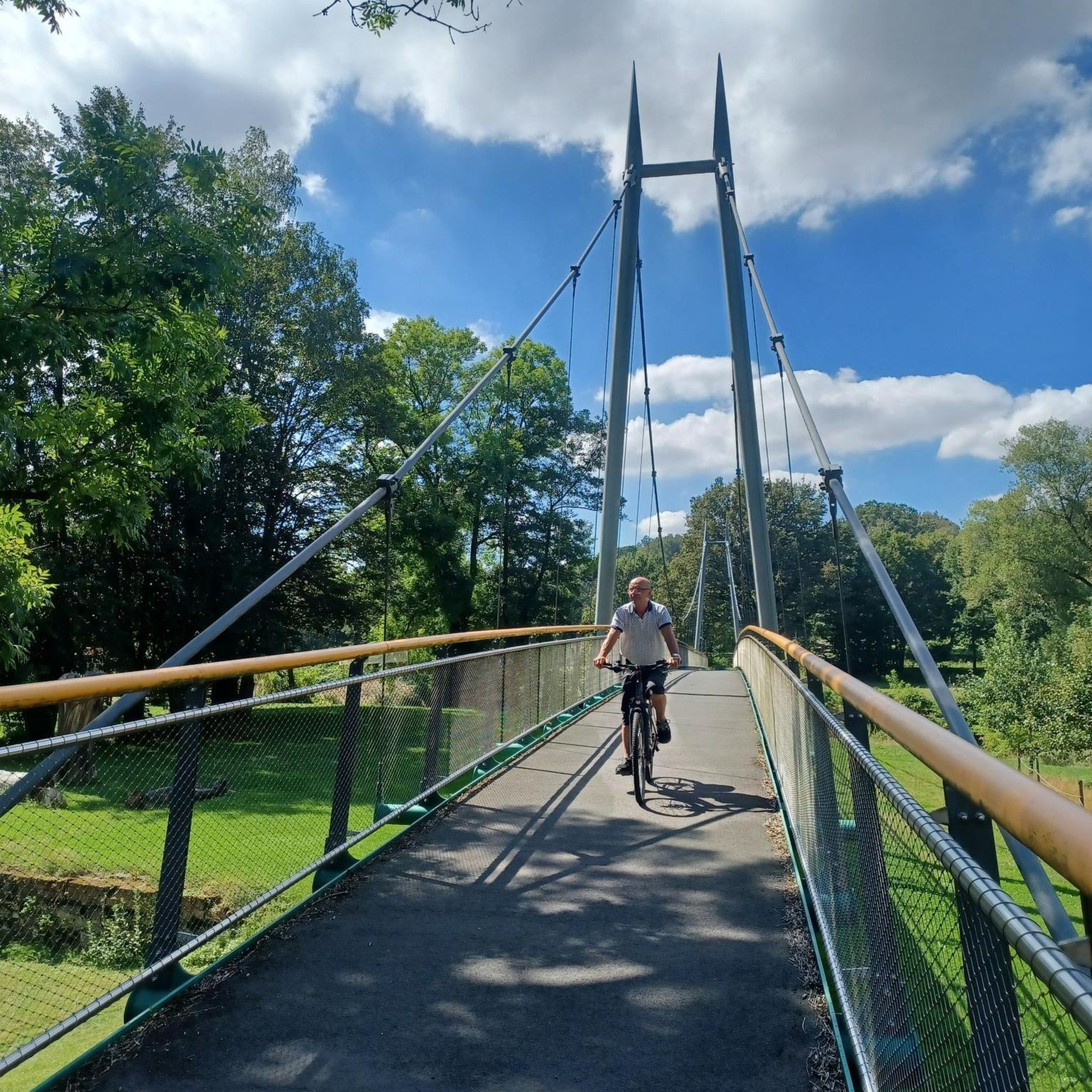
The origin of “Pont-à-Domangeville is lost in the mists of time. The Roman road from Metz to the Rhine already passed through there. Under the old regime, it was a tiny separate lordship, with a toll bridge. Usually blocked and padlocked, to cross it you had to pay a fee, depending on the livestock and products passed through. The lordship belonged in the 13th century to the Saint-Vincent de Metz abbey, then to the successive lords of Domangeville; in 1716, to the Laubrussels, then to the Leuryses, finally to the Thomas de Pange. It included, in addition to the bridge, the road - 50 toises on this side, 18 beyond - the bed of the Nied on both sides and, on the south-east bank, land with a hostelry (current Mayot farm) . In 1789, the community of Bazoncourt declared in its list of grievances “the enlightenment of the State and the kindness of the King will undoubtedly eliminate a right of final injustice perceived at Pont-à-Domangeville. However poor a plowman he may be, he pays three does and several pay without passing through.” After the revolution, the bridge had to be repaired. Paradoxically, the general council had the expenditure entered in the 1814 and 1815 rolls of the localities which had subscribed to the bridge in 1766. On this ordeal is inscribed: “This monument of our redemption was erected by the care of MM. De Pange, de Courten, Devaux and Dauphin, Commissioners responsible for the reconstruction of this bridge, in the year of our Lord 1816. During the reconstruction work and near the bridge, Joseph GRANDIDIER de Hernicourt and François ANIEL perished in the waters on July 20 from Domangeville, both attached to the service of the neighboring farm »
1
0

Two people died during the reconstruction of the bridge over the Nied Française in Domangeville in 1816.
1
0

This typical castle of classicism was built in the 18th century. Property of the Pange family, it is entrusted to an association responsible for making it a house of arts, encounters and cultures. Besides the building, the gardens are also splendid. More information is available on the chateau website: http://www.chateaudepange.fr/.
1
0

The castle dates from 1720 and was the residence of the Marquis de Pange. It is still family-owned today and unfortunately (currently) not open to the public.
0
0

small chapel, great windows from the inside
1
0
Frequently Asked Questions
How many hiking trails are available in Sillers?
Sillers offers a wide selection of hiking routes, with over 60 trails available. These routes cater to various skill levels, including easy, moderate, and difficult options.
What kind of terrain can I expect when hiking in Sillers?
The hiking trails in Sillers are characterized by gentle rural paths and modest elevation changes. You'll traverse through landscapes featuring historical landmarks like Pange Castle and local churches, providing a blend of natural scenery and cultural points of interest.
Are there easy hiking options for beginners or families in Sillers?
Yes, Sillers has numerous easy hiking options. For example, the Hiking loop from Courcelles-Chaussy is an easy 7.2 km route, perfect for a relaxed outing with minimal elevation gain, making it suitable for families or those new to hiking.
Are there any challenging hikes in Sillers for experienced hikers?
For experienced hikers seeking a longer adventure, the Pange Castle – Saint-Maximin Church loop from Courcelles-Chaussy is a challenging 23.3 km trail. This route leads through historical sites and rural scenery, typically taking around 6 hours to complete.
Can I find circular hiking routes in Sillers?
Many of the trails in Sillers are designed as circular routes, allowing you to start and end in the same location. Popular examples include the Pange Castle loop from Courcelles-Chaussy and the Pange Castle loop from Les Étangs, both offering scenic loops around key attractions.
What historical landmarks or attractions can I see along the trails in Sillers?
Hiking in Sillers offers opportunities to explore several historical landmarks. You can visit Pange Castle, a prominent feature on many routes, or discover Mercy Castle. Additionally, trails often pass by local churches and natural features like the Charlemagne Spring.
Are the hiking trails in Sillers suitable for dogs?
While the guide data does not explicitly state dog-friendly policies for every trail, the gentle rural paths and open landscapes of Sillers generally make it a welcoming area for walks with dogs. It's always recommended to keep dogs on a leash and check local regulations for specific areas or nature reserves.
What is the best time of year to go hiking in Sillers?
Given the region's gentle terrain and focus on historical sites and rural scenery, Sillers is enjoyable for hiking throughout much of the year. Spring and autumn offer pleasant temperatures and beautiful seasonal colors, while summer provides longer daylight hours. Winter hikes are also possible, though conditions may vary.
What do other hikers say about the trails in Sillers?
The trails in Sillers are highly rated by the komoot community, with an average score of 4.3 stars from over 70 reviews. Hikers often praise the well-maintained paths, the charming historical landmarks, and the peaceful rural atmosphere that defines the region's routes.
Are there any trails that pass by natural springs or water features?
Yes, some trails in Sillers will lead you to natural features. For instance, the Charlemagne Spring is a notable natural monument in the area that can be explored as part of your hike, offering a refreshing stop along the way.
Where can I park when visiting the hiking trails in Sillers?
Many of the popular hiking routes in Sillers, particularly those starting from towns like Courcelles-Chaussy, offer convenient parking options. For example, trails like the Pange Castle loop from Courcelles-Chaussy typically have designated parking areas near their starting points in the village.
What is the longest hiking route available in Sillers?
The longest route highlighted in the area is the Pange Castle – Saint-Maximin Church loop from Courcelles-Chaussy, which spans 23.3 km. This extensive trail provides a comprehensive exploration of the region's historical sites and rural landscapes.
Most popular attractions around Sillers

Get inspired with the komoot mobile app


Explore more
Browse the best Hikes in other regions.
