The best walks and hikes around Brousses-Et-Villaret
4.4
(318)
1,620
hikers
76
hikes
Hiking around Brousses-Et-Villaret offers a diverse landscape for outdoor exploration. The region is characterized by its varied terrain, including areas around water features like the Alzeau Water Intake and Saint-Denis Dam, suggesting routes that follow rivers or lakes. Expect a mix of open paths and potentially some forested sections, providing a range of natural environments for hikers. The area provides opportunities for both gentle walks and more challenging ascents.
Best hiking trails around Brousses-Et-Villaret
- The most popular hiking route is…
Last updated: October 12, 2026
4.7
(20)
87
hikers
Moderate hike. Good fitness required. Easily-accessible paths. Suitable for all skill levels.
4.9
(11)
43
hikers
6.29km
01:47
140m
140m
Easy hike. Great for any fitness level. Easily-accessible paths. Suitable for all skill levels.

1.0
(1)
11
hikers
12.8km
03:40
300m
300m
Moderate hike. Good fitness required. Easily-accessible paths. Suitable for all skill levels.
4.5
(2)
11
hikers
5.02km
01:25
100m
110m
Easy hike. Great for any fitness level. Easily-accessible paths. Suitable for all skill levels.
5.0
(3)
6
hikers
10.3km
02:50
160m
160m
Moderate hike. Good fitness required. Easily-accessible paths. Suitable for all skill levels.
Get access to more routes and recommendations from other explorers.
Already have an account?
Our route recommendations are based on thousands of hikes, rides, and runs completed by other people on komoot.
Start today with a free account
Your next adventure awaits.
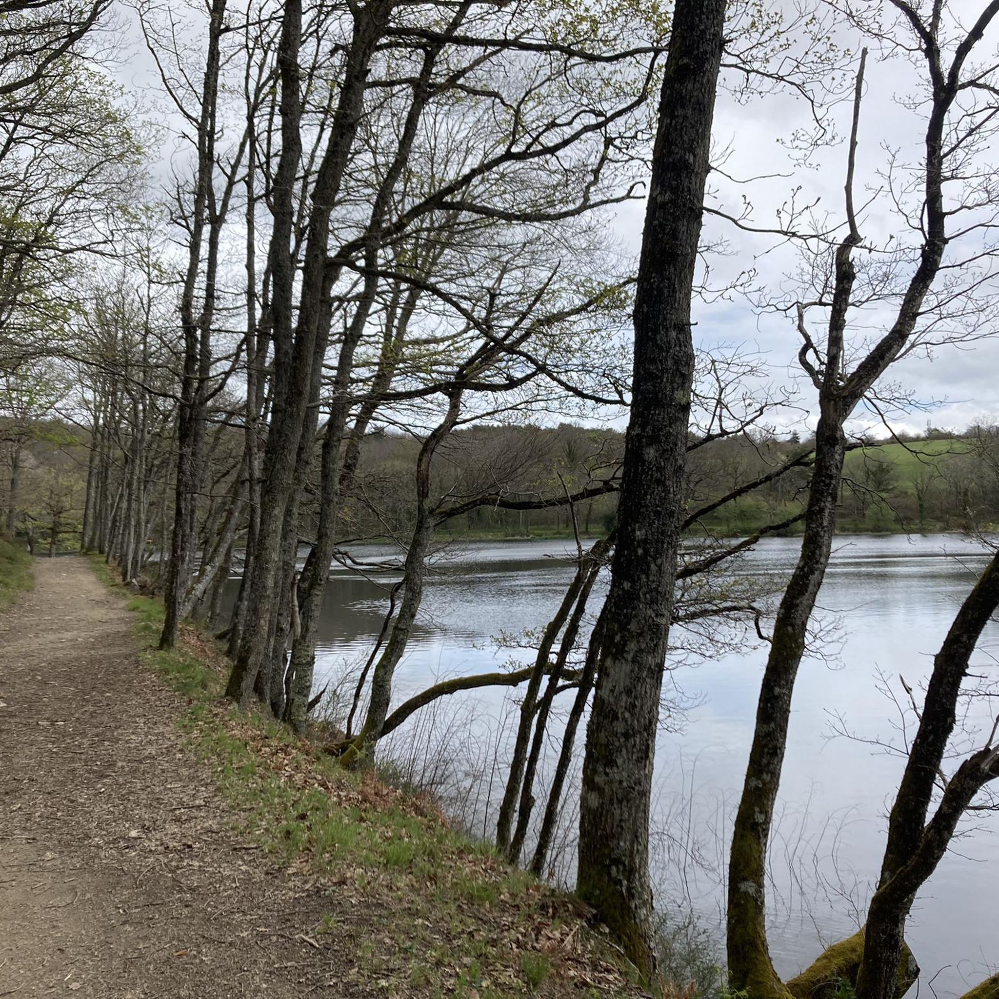
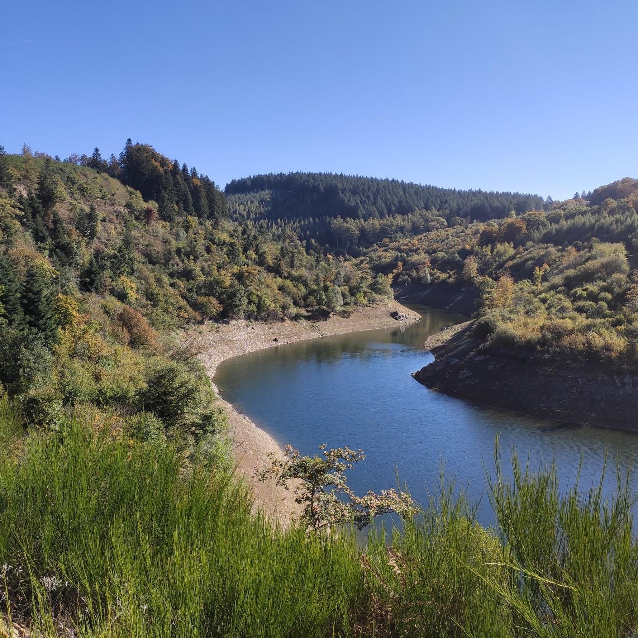
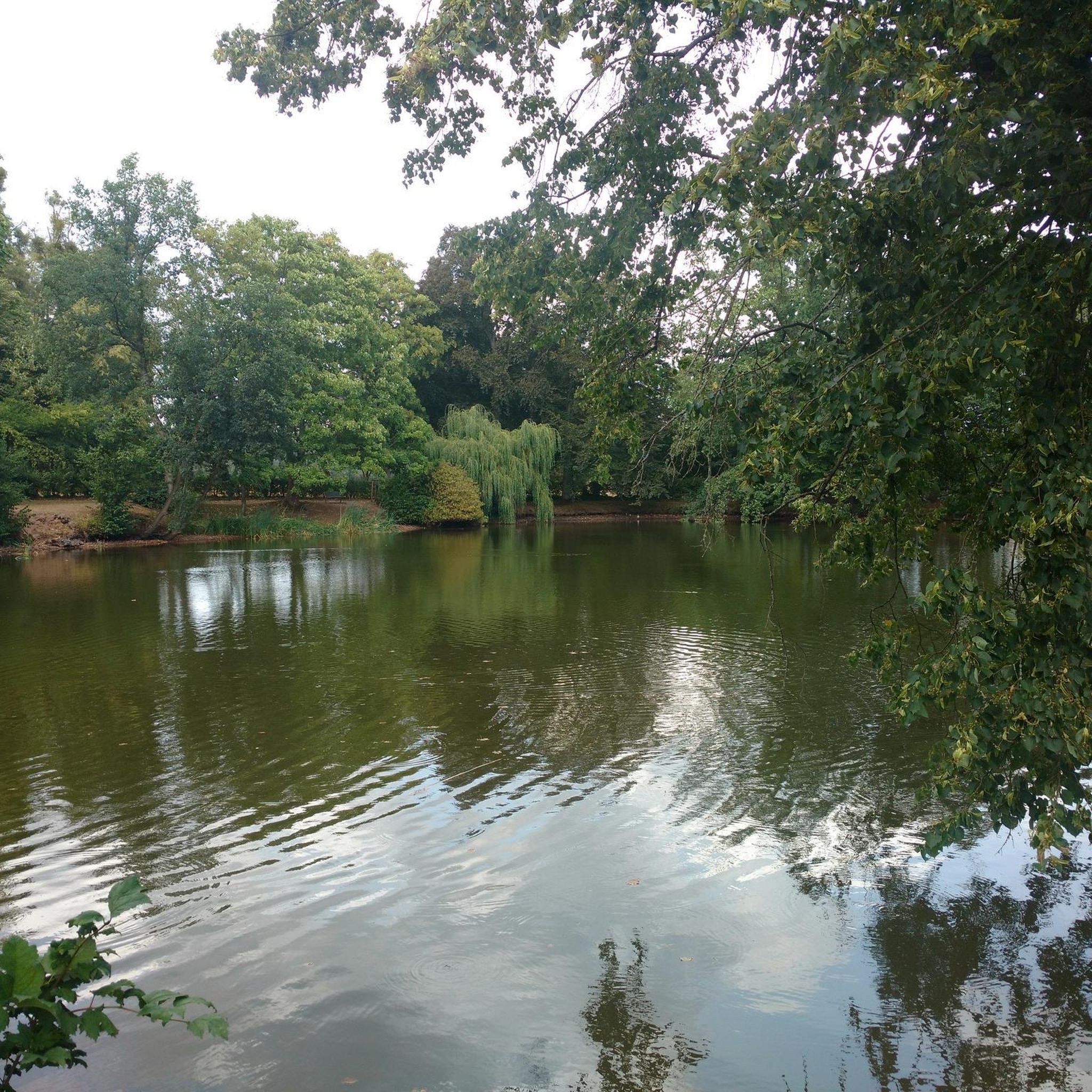
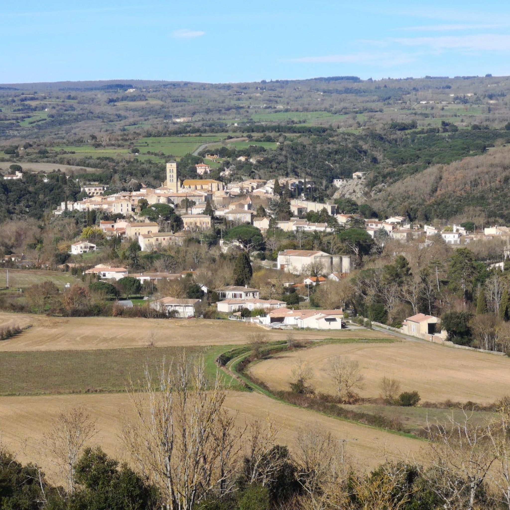
Tips from the Community

The Alzeau dam (or d'Alzau[1]), located in the commune of Arfons, in the Tarn[2], is the starting point of the rigole de la Montagne, which then feeds the Canal du Midi. It is located on the border with the Aude department, and is accessible via the commune of Lacombe. (Wikipedia)
0
0
A beautiful destination for hikers and mountain bikers! Leisurely tours and sporty options to the Prise d'Alzeau
0
0


Descend the small steep path to the side of the bridge opposite the café. After 3 min you will get to the river. Refreshing on a hot day.
0
0

Nice path allowing you to follow the Rigole de la Montagne as well as the natural bed of the Alzeau.
0
0
If the Alzeau (and the surrounding rivers) feeds the Mediterranean side of the Canal du Midi via the Fresquel, it was also necessary to supply water to the ocean side of the canal which crosses the threshold of Naurouze at 194m. A whole catchment network was therefore designed, including the mountain channel that starts here.
1
0
nice hiking trail to the Rigole de Motagne Noire; also suitable for VTT!
0
0

A magnificent site, the highest point for collecting water to supply the Canal du Midi, the channel joins the Seuil de Naurouze.
4
0
Frequently Asked Questions
How many hiking trails are available around Brousses-Et-Villaret?
There are over 60 hiking trails in the Brousses-Et-Villaret region, offering a diverse range of experiences. These include nearly 30 easy routes, over 30 moderate options, and a few more challenging trails for experienced hikers.
Are there any easy, family-friendly hikes in Brousses-Et-Villaret?
Yes, Brousses-Et-Villaret offers several easy routes suitable for families. An excellent option is the Hiking loop from Montolieu, an easy 6.5 km path that provides accessible walking through the local landscape. Another family-friendly choice is the Swimming by the bridge loop from Montolieu, a 5 km easy route.
What kind of natural attractions can I expect to see on hikes in this region?
The region is characterized by its water features and varied terrain. You can explore areas around the Alzeau Water Intake, the Saint-Denis Dam, and various lakes such as Lac des Cammazes and Lampy Neuf Reservoir. For a scenic highlight, consider visiting the Cubserviès Waterfall.
Are there any circular walks available in Brousses-Et-Villaret?
Yes, many routes in the area are circular, allowing you to start and end at the same point. A popular moderate circular route is the Sentier de la prise d'Alzeau – Alzeau Water Intake loop from Saint-Denis, which is 9.5 km long. Another option is the Saint-Denis Dam loop from Saint-Denis, a moderate 12.8 km trail.
What do other hikers say about the trails in Brousses-Et-Villaret?
The hiking routes in Brousses-Et-Villaret are highly rated by the komoot community, with an average score of 4.5 stars from over 250 reviews. Hikers often praise the diverse terrain, the presence of water features, and the well-maintained paths that connect local villages.
Can I find hikes that explore the Alzeau Water Intake area?
Absolutely. The Alzeau Water Intake is a prominent feature in the region. You can explore it via the moderate Alzeau Intake – Sentier de la prise d'Alzeau loop from Saint-Denis, an 8.5 km trail that takes about 2 hours 23 minutes to complete.
Are there any trails that pass by historical or cultural landmarks?
While the region is primarily known for its natural beauty, some routes offer glimpses of local heritage. The Canal Towpath is a notable highlight, offering a historical perspective on the area's waterways. Additionally, the charming Mas-Cabardès Village is a point of interest near some trails.
What is the best time of year to hike in Brousses-Et-Villaret?
The region generally offers pleasant hiking conditions from spring through autumn, with mild temperatures ideal for exploring. Spring brings blooming flora, while autumn showcases vibrant fall colors. Summer is also popular, especially for routes near water features, but it's advisable to start early to avoid the midday heat.
Are there any specific considerations for hiking with dogs in this area?
Many trails in Brousses-Et-Villaret are suitable for dogs, but it's always recommended to keep them on a leash, especially near livestock or in protected natural areas. Ensure you carry enough water for both yourself and your dog, as water sources might not always be readily available on all parts of the trails.
What kind of terrain should I expect on the trails?
The terrain around Brousses-Et-Villaret is quite varied. You'll encounter a mix of open paths, forested sections, and routes that follow rivers or lakes. Expect some gentle ascents and descents, particularly on moderate trails, but generally, the paths are well-defined and manageable.
Are there options for longer, more challenging hikes?
While the majority of trails are easy to moderate, there are a few more challenging options for those seeking a longer adventure. These routes typically feature greater elevation changes and cover more distance, providing a more strenuous workout amidst the region's diverse landscapes.
Most popular routes around Brousses-Et-Villaret
Most popular attractions around Brousses-Et-Villaret

Get inspired with the komoot mobile app


Explore more
Browse the best Hikes in other regions.
