The best running trails around Larrau
5.0
(3)
483
runners
23
runs
Jogging around Larrau offers diverse terrain within the Pyrénées-Atlantiques department of France. The region is characterized by its dramatic mountain peaks, including the Pic d'Orhy, deep canyons like Olhadübi, and the vast Iraty Forest. An extensive network of trails, including sections of long-distance routes, provides varied options for runners. The landscape features significant elevation changes, making it suitable for challenging trail running.
Best jogging routes around Larrau
- The most popular jogging route is Loop on the roof of the Basque…
Last updated: October 16, 2026
5.0
(1)
13
runners
28.5km
05:01
1,910m
1,930m
Hard run. Very good fitness required. Sure-footedness, sturdy shoes and alpine experience required.
7
runners
21.8km
03:22
1,130m
1,150m
Hard run. Very good fitness required. Sure-footedness, sturdy shoes and alpine experience required.

5.0
(1)
64
runners
Hard run. Good fitness required. Sure-footedness, sturdy shoes and alpine experience required.
26
runners
15.8km
02:28
830m
830m
Hard run. Very good fitness required. Sure-footedness, sturdy shoes and alpine experience required.
33
runners
9.77km
01:15
220m
220m
Hard run. Good fitness required. Sure-footedness, sturdy shoes and alpine experience required.
Get access to more routes and recommendations from other explorers.
Already have an account?
Our route recommendations are based on thousands of hikes, rides, and runs completed by other people on komoot.
Start today with a free account
Your next adventure awaits.
Popular around Larrau
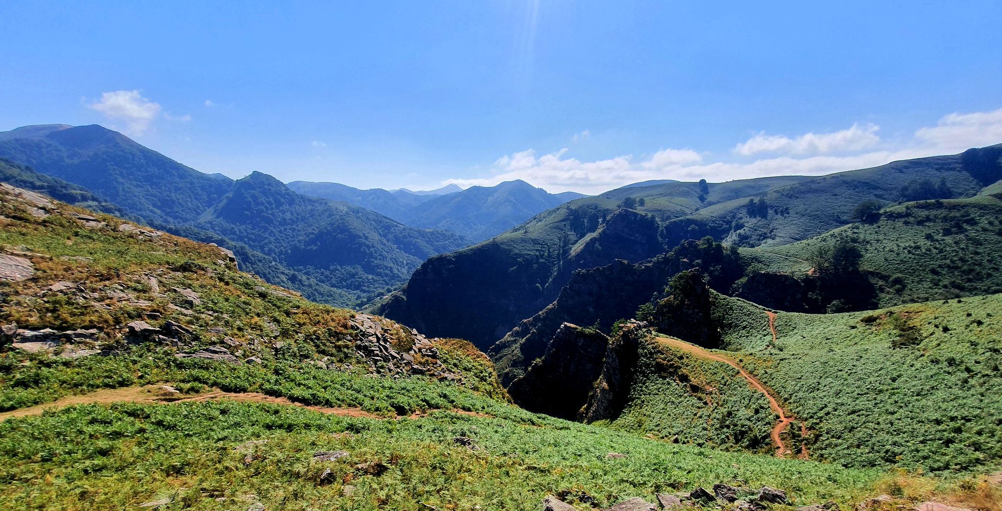
A land rich in character – running in the Basque Country
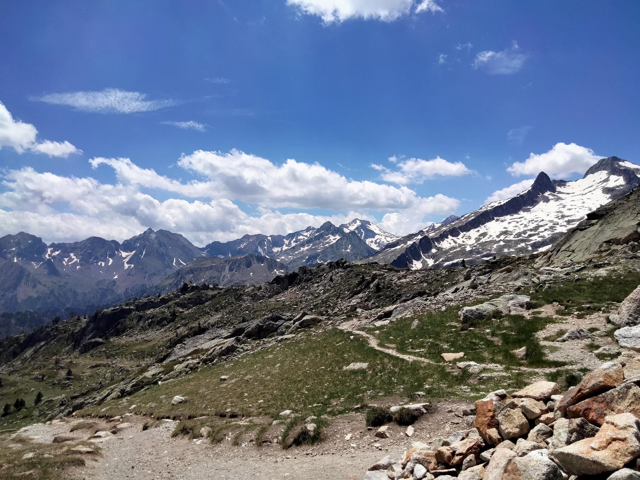
Hexatrek, the western and central Pyrenees – Between mountains and the ocean
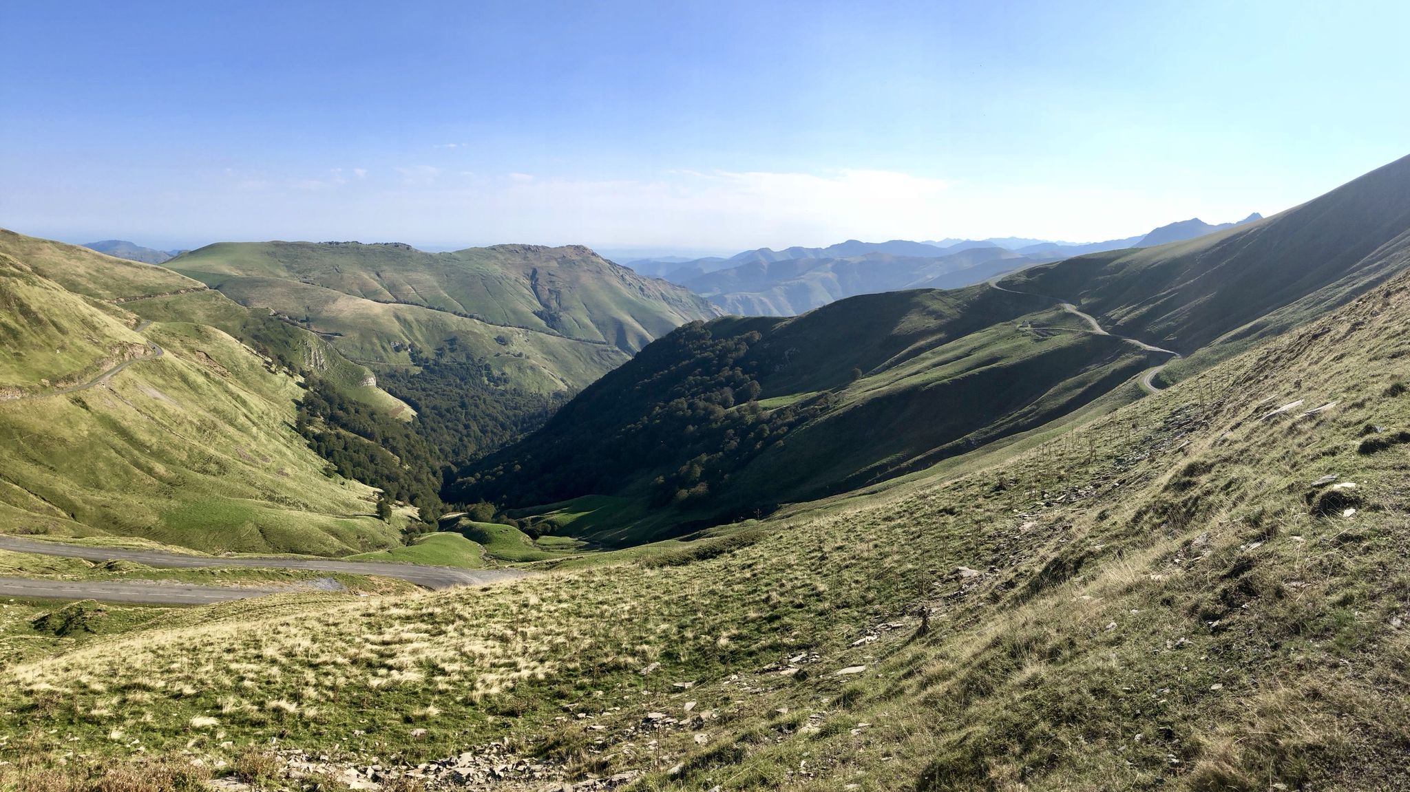
Euskal Herria footpath (GR 12) – The infinite mountain range
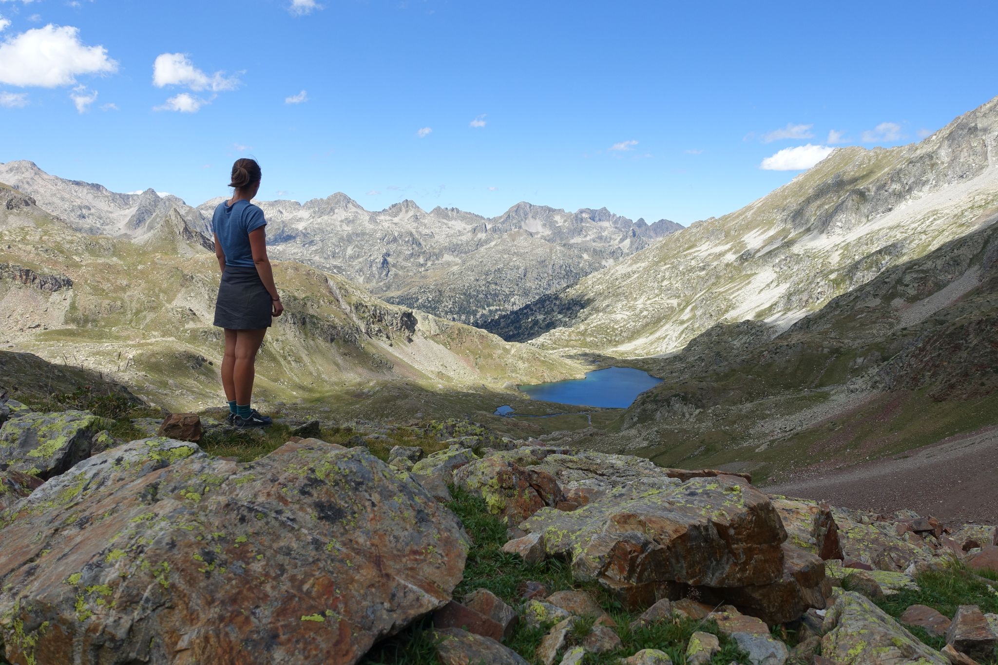
Haute Route Pyrénéenne – Pyrenees Crossing
Coast to coast across the Pyrenees on your road bike
The Grand Tour du Pays basque
Iraty, Soule and the Basque mountains
The coast to the mountains – the best hikes in Spain’s Basque Country
Hiking to the summits – France's highest points
The Western Pyrenees – crossing the Pyrenees on the GR 10
Other adventures around Larrau


Tips from the Community

Casas de Irati is the entry point to Irati through the Irati river area, which leads to the Irabia reservoir. There are parking areas, an interpretation center, a bar, and an information point for the Irati btt center, as well as many other walking routes. From this point, access is gained to the Nuestra Señora de las Nieves hermitage.
2
0

Perched atop the wind-swept Col de Bagargiak at an elevation of over 1,300 meters, Les Chalets d'Iraty is a charming mountain resort nestled right at the edge of the sprawling Iraty Forest. Operating as a cozy base for winter sports and a vibrant outdoor hub during the summer months, it offers a perfect blend of comfort and convenience for hikers on the GR10 or HRP. Trekkers can find well-equipped wooden chalets, dormitory-style rooms, a small grocery shop for essential resupplies, and a warm restaurant serving hearty local Basque dishes. It stands out as an inviting, comfortable oasis high in the Pyrenees where you can rest your legs, enjoy stunning mountain views, and recharge before tackling the next tough stage.
1
0
Lake Iraty (Lac d'Iraty) a Peaceful Mountain Reservoir. Nestled in the heart of the iconic Basque mountains, Lake Iraty (Lac d'Iraty) is a serene reservoir surrounded by the vast beech canopy of the Iraty Forest. The calm, clear waters mirror the rolling green hills, making it one of the most picturesque stops along the surrounding trails.
1
0

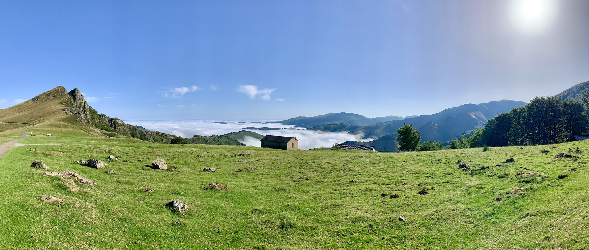
Breathtaking view of the Iraty massif and its forest, the Orly peak, as well as the first Béarnais summits, Anie, Table des trois rois, Ansabère …
0
0

They have the best accessible toilet within a 20 km radius.
0
0
The Holzarte footbridge (from the Basque "Holtzearte," meaning "between walls") is one of the most spectacular and visited sites in the Western Pyrenees. About 70 meters long and suspended 150 meters above these gorges, carved more than 80 million years ago by the Olhadoko Erreka River, the footbridge allows you to cross the Olhadubi Canyon and reach the other side.
1
0

Pretty little lake located in the forest, at the edge of the road.
0
0

Frequently Asked Questions
What kind of terrain can I expect when running in Larrau?
Larrau offers a diverse and challenging landscape for runners. You'll encounter dramatic mountain peaks, including the Pic d'Orhy, deep canyons like Olhadübi, and the vast Iraty Forest. The region features significant elevation changes, making it ideal for trail running with varied ascents and descents.
Are there any easy running routes suitable for beginners or families in Larrau?
While many routes in Larrau are challenging, there are options for less strenuous runs. For example, the View of the Col d'Holzarte – Holzarte Footbridge loop from Auberge Logibar is a shorter route, approximately 4.5 km, offering scenic views without extreme difficulty. The Iraty Forest also contains extensive trails, some of which are less demanding and suitable for a gentler jog.
What are some scenic highlights or landmarks I can see along the running trails?
Larrau's running routes are rich with natural beauty and notable landmarks. You can experience the impressive Holzarte Footbridge suspended 180 meters above the Olhadübi canyon. Many trails offer panoramic views of the Pic d'Orhy, the highest peak in the Basque Country. The vast Iraty Forest provides an immersive natural experience, and you might pass through mountain passes like Larrau Pass or Bagargui.
Are there any long-distance or challenging running routes for experienced trail runners?
Absolutely. Larrau is well-suited for experienced trail runners. The Loop on the roof of the Basque Country – running in the Basque Country is a challenging 28.5 km route with significant elevation gain. Another demanding option is The forest of Iraty and its heights – running in the Basque Country, a 21.8 km path through the extensive beech forest. The region also includes sections of long-distance routes like the GR10.
What is the best time of year for running in Larrau?
The best time for running in Larrau is generally from spring through autumn when the weather is milder and trails are more accessible. Summer offers warm conditions, while spring and autumn provide pleasant temperatures and vibrant scenery. Winter running can be challenging due to snow and ice, especially at higher elevations, though some lower trails might still be runnable.
Are there any circular running routes available in Larrau?
Yes, many of the running routes in Larrau are designed as loops, allowing you to start and finish at the same point. For instance, the View of the Col d'Holzarte – Holzarte Footbridge loop from Auberge Logibar and the Pic d'Orhy loop from Larraineko mendatea are excellent circular options, providing diverse experiences without needing to retrace your steps.
Can I bring my dog on the running trails in Larrau?
Larrau's natural environment is generally welcoming to dogs, but it's essential to check specific trail regulations, especially within protected areas or during certain seasons (e.g., nesting periods for wildlife). Always keep your dog under control, preferably on a leash, and ensure you clean up after them to preserve the natural beauty for everyone.
Are there facilities like cafes or accommodation near the running routes?
Yes, you can find facilities in and around Larrau. The Iraty Forest, for example, has the Iraty Chalets which offer provisions and potentially accommodation. The village of Larrau itself and surrounding areas provide various options for cafes, restaurants, and places to stay, particularly catering to outdoor enthusiasts.
How accessible are the running routes by public transport or car parking?
Access to running routes in Larrau is primarily by car, with various parking areas available near trailheads, such as Auberge Logibar for the Holzarte Footbridge trail or starting points for routes around the Iraty Forest. Public transport options directly to specific trailheads might be limited, so planning your journey with a car is often the most convenient way to explore the region's extensive network of trails.
What makes running in Larrau unique compared to other regions?
Running in Larrau offers a unique blend of dramatic Pyrenean landscapes, including the highest peak in the Basque Country, Pic d'Orhy, and the vast, ancient Iraty Forest, Europe's largest beech forest. The extensive network of trails, from challenging mountain ascents to scenic canyon routes, provides an unparalleled variety for trail runners seeking both physical challenge and breathtaking natural beauty.
What is the overall difficulty level of running routes in Larrau?
The running routes in Larrau are generally considered challenging. Out of 19 routes, 15 are rated as 'difficult' and 4 as 'moderate'. This indicates that most trails involve significant elevation changes and rugged terrain, making them best suited for runners with some experience in trail running or a good level of fitness.
Most popular attractions around Larrau

Get inspired with the komoot mobile app


Explore more
Browse the best Running Trails & Routes in other regions.
