The best walks and hikes around La Buxerette
4.4
(38)
149
hikers
20
hikes
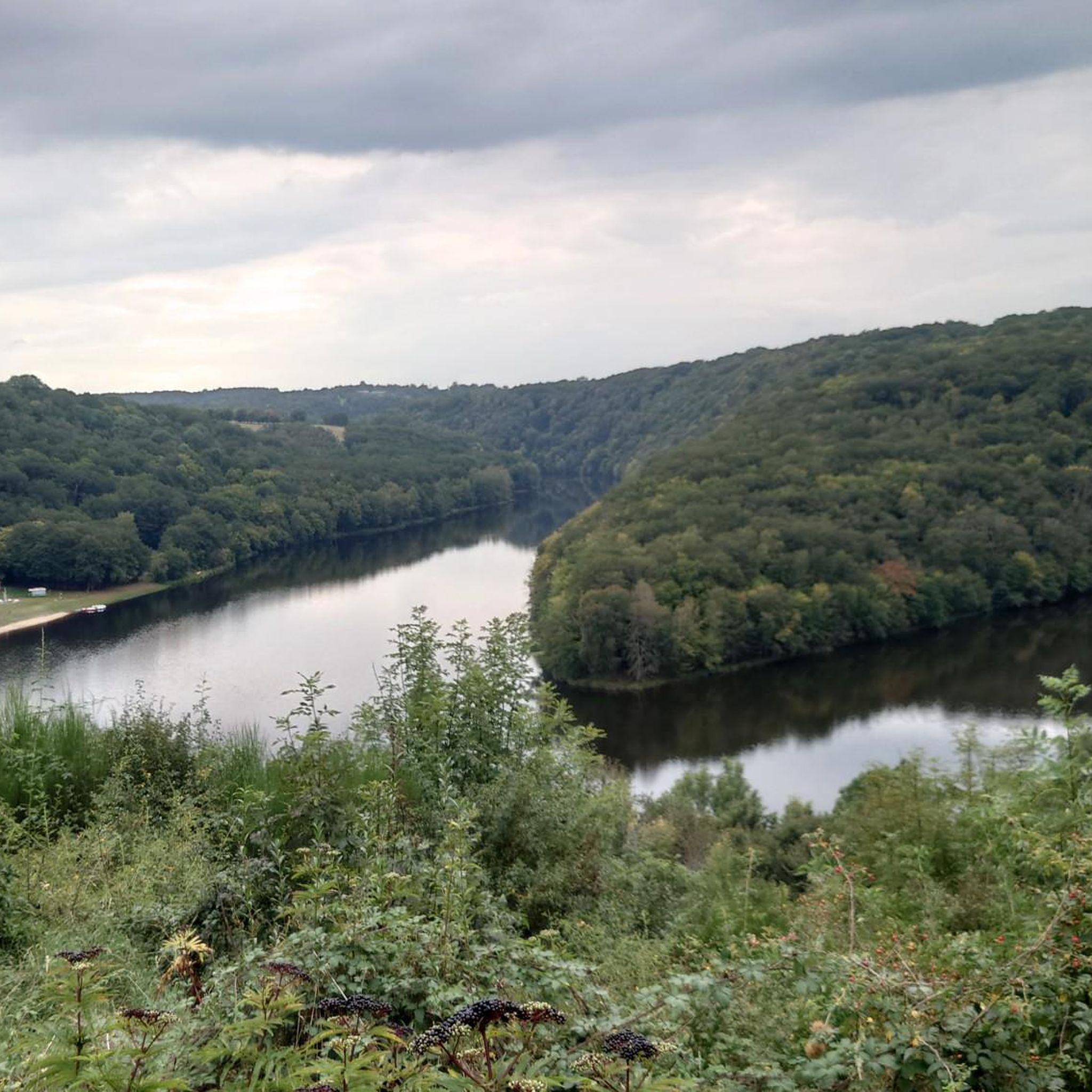
Hiking around La Buxerette, a commune in the Indre department of central France, offers access to rural, hilly, and wooded landscapes. The region is characterized by its tranquil natural setting, with the Bouzanne river forming part of its western border. This topography provides a serene backdrop for outdoor exploration, including trails near the Brenne Regional Natural Park.
Best hiking trails around La Buxerette
- The most popular hiking route is Cluis viaduc loop, a 4.3 miles (7.0 km) trail that…
Last updated: July 1, 2026
4.6
(8)
27
hikers
6.97km
01:54
100m
100m
Easy hike. Great for any fitness level. Easily-accessible paths. Suitable for all skill levels.
4.6
(7)
19
hikers
11.2km
03:04
180m
180m
Moderate hike. Good fitness required. Easily-accessible paths. Suitable for all skill levels.

Sign up for free
4.0
(1)
13
hikers
5.37km
01:27
80m
80m
Easy hike. Great for any fitness level. Easily-accessible paths. Suitable for all skill levels.
5.0
(1)
11
hikers
6.81km
01:50
80m
90m
Easy hike. Great for any fitness level. Easily-accessible paths. Suitable for all skill levels.
4.8
(5)
10
hikers
5.79km
01:36
100m
100m
Easy hike. Great for any fitness level. Easily-accessible paths. Suitable for all skill levels.
Get access to more routes and recommendations from other explorers.
Sign up for free
Already have an account?
Our route recommendations are based on thousands of hikes, rides, and runs completed by other people on komoot.
Start today with a free account
Your next adventure awaits.
Login or Signup
Popular around La Buxerette


Tips from the Community

It's impressive to walk under and along this viaduct. You suddenly feel very small.
4
0

Nice walk from Crozon-sur-Vauvre. Start the walk on the left side along the church.
0
0

This castle dates back to the 16th century. It is found under the names "la Lande" and "Lalande", so I used the term mentioned on the map, namely "la Lande".
0
0

A very impressive ruin. It shows the power that emanates from here
1
0

Located on a rocky outcrop, the castle of Cluis-Dessous occupied a strategic position. In the 12th century, the keep is the oldest part of the building. The curtain wall, slightly more recent (12th-13th century), is typical of Plantagenêt architecture. The house, which dates from the 14th and 15th centuries, is only partially preserved.
1
0
Crossing the Auzon valley, this viaduct nearly 500 meters long has 20 arches. Built in 1899, it was used until 1952 for the SNCF link between Argenton-sur-Creuse and La Châtre. Today, it is frequented by bungee jumpers, hikers and experienced runners who, like you, take advantage of the panoramic view of the Auzon valley.
2
0
Located on a rocky outcrop, the castle of Cluis-Bass occupied a strategic position. In the 12th century, the keep was the oldest part of the building. The slightly more recent curtain wall (12th-13th century) is typical of Plantagenet architecture. The most recent part (14th-15th century), the house is only partially preserved.
2
0
It simply crosses the valley of a modest river, the Auzon. Almost 500 meters long, the impressive Cluis viaduct has 20 arches and crosses the Auzon. Built in 1899, it was used until 1952 for the SNCF link between Argenton-sur-Creuse and La Châtre. Today, it is frequented by bungee jumpers and calmer hikers who take it to enjoy the panoramic view of the Auzon valley.
2
0
Frequently Asked Questions
How many hiking trails are available around La Buxerette?
There are over 20 hiking routes available around La Buxerette, offering a variety of options for exploring the rural, hilly, and wooded landscapes of the Indre department.
What are the typical difficulty levels for hiking trails near La Buxerette?
The hiking trails around La Buxerette are primarily easy to moderate. You'll find 14 easy routes and 7 moderate routes, making the area accessible for various fitness levels. There are no difficult trails listed in this region.
Are there any historical sites or landmarks to see while hiking near La Buxerette?
Yes, the region offers several historical sites. You can explore the Cluis-Dessous Castle, the Varennes Abbey, or the Basilique Saint-Etienne. These sites provide cultural interest alongside your outdoor activity.
What kind of natural features can I expect to see on hikes around La Buxerette?
Hikes around La Buxerette feature tranquil rural landscapes, extensive wooded areas, and the picturesque Bouzanne river, which forms part of the commune's western border. You can also find the Parc de Parelles, a forest offering a serene natural setting.
When is the best time of year to go hiking around La Buxerette?
The best time for hiking around La Buxerette is generally from spring through autumn (April to October) when the weather is mild and the natural scenery is at its most vibrant. The rural and wooded landscapes offer pleasant conditions for exploration during these seasons.
Are there family-friendly hiking options near La Buxerette?
Many of the 14 easy routes around La Buxerette are suitable for families. These trails often feature gentle terrain through woodlands and rural paths, providing an enjoyable experience for all ages. For example, the Cluis viaduc loop is an easy option.
Are dogs allowed on the hiking trails around La Buxerette?
While specific regulations can vary, generally, dogs are welcome on trails in rural French areas like La Buxerette, especially if kept on a leash. It's always advisable to check local signage or park rules for any specific restrictions, particularly in nature reserves or protected areas.
What do other hikers enjoy most about hiking in La Buxerette?
The hiking routes in La Buxerette are highly rated by the komoot community, with an average score of 4.4 stars from over 30 reviews. Hikers often praise the tranquil rural setting, the varied terrain, and the opportunity to discover local landmarks like viaducts and castles.
Are there any circular hiking routes available near La Buxerette?
Yes, several circular routes are available. Examples include the Cluis viaduc loop, the Fun crossing water – Chateau La Lande loop from Crozon-sur-Vauvre, and the Viaduct of Cluis – Auzon Viaduct loop from Cluis, all designed for convenient round trips.
Can I find trails that follow rivers or offer water features?
Yes, the Bouzanne river forms part of La Buxerette's western border, and you can find trails that incorporate riverside paths. The Source of the Bouzanne loop from Aigurande is an example of a route that explores the river's origins and surrounding natural beauty.
Are there opportunities for longer, more challenging hikes?
While there are no routes classified as 'difficult,' the region offers moderate trails for those seeking a bit more challenge. The Fun crossing water – Chateau La Lande loop from Crozon-sur-Vauvre is a moderate 7.0-mile (11.2 km) path with varied terrain, providing a longer and more engaging experience.
What kind of landscapes will I encounter on the trails?
The trails around La Buxerette are characterized by a blend of rural charm, rolling hills, and extensive wooded areas. You'll experience peaceful countryside, often with views of the local agricultural land and the tranquil Bouzanne river.
Most popular attractions around La Buxerette

Get inspired with the komoot mobile app


Explore more
Browse the best Hikes in other regions.
