The best mountain hikes around Eriz
4.9
(32)
210
hikers
21
hikes
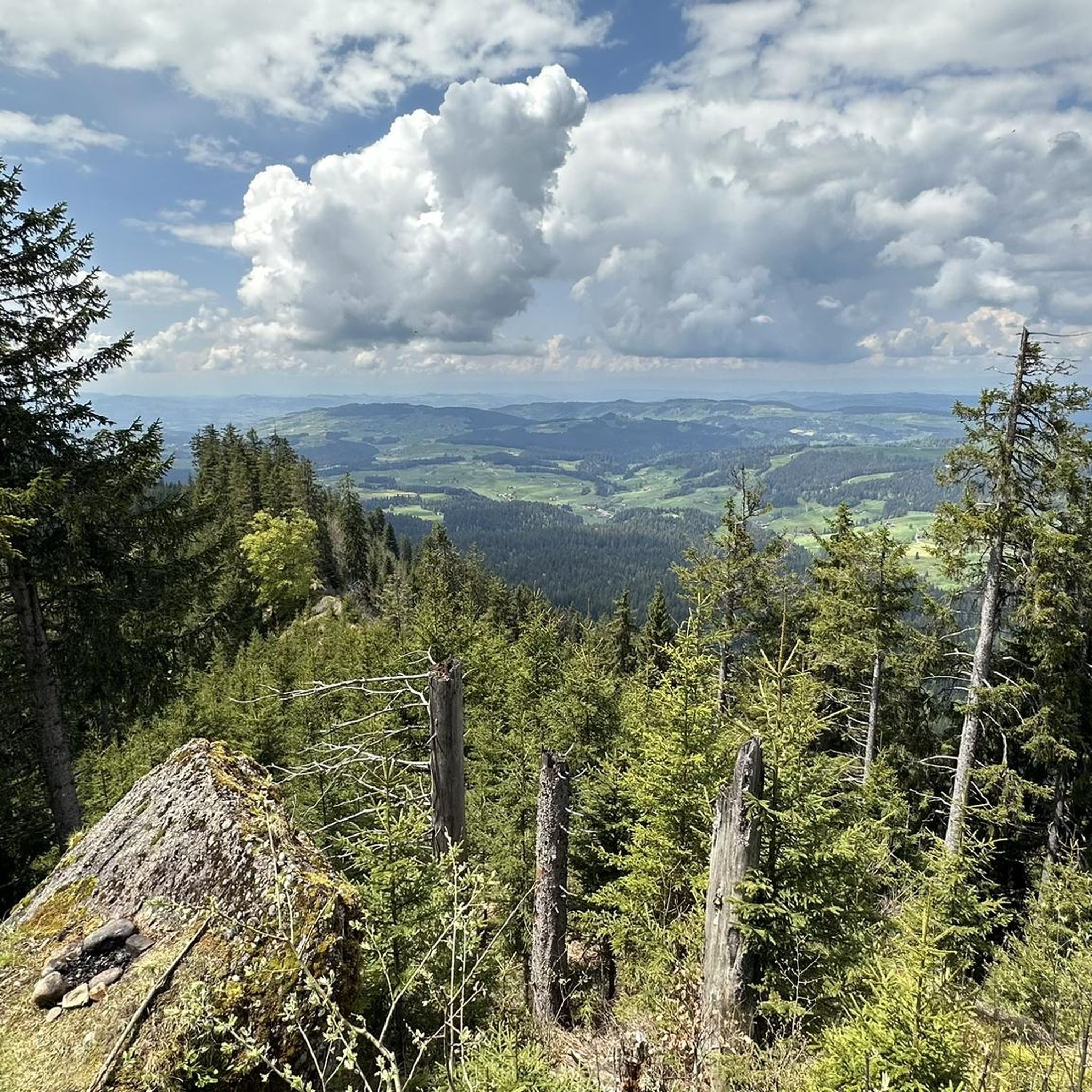
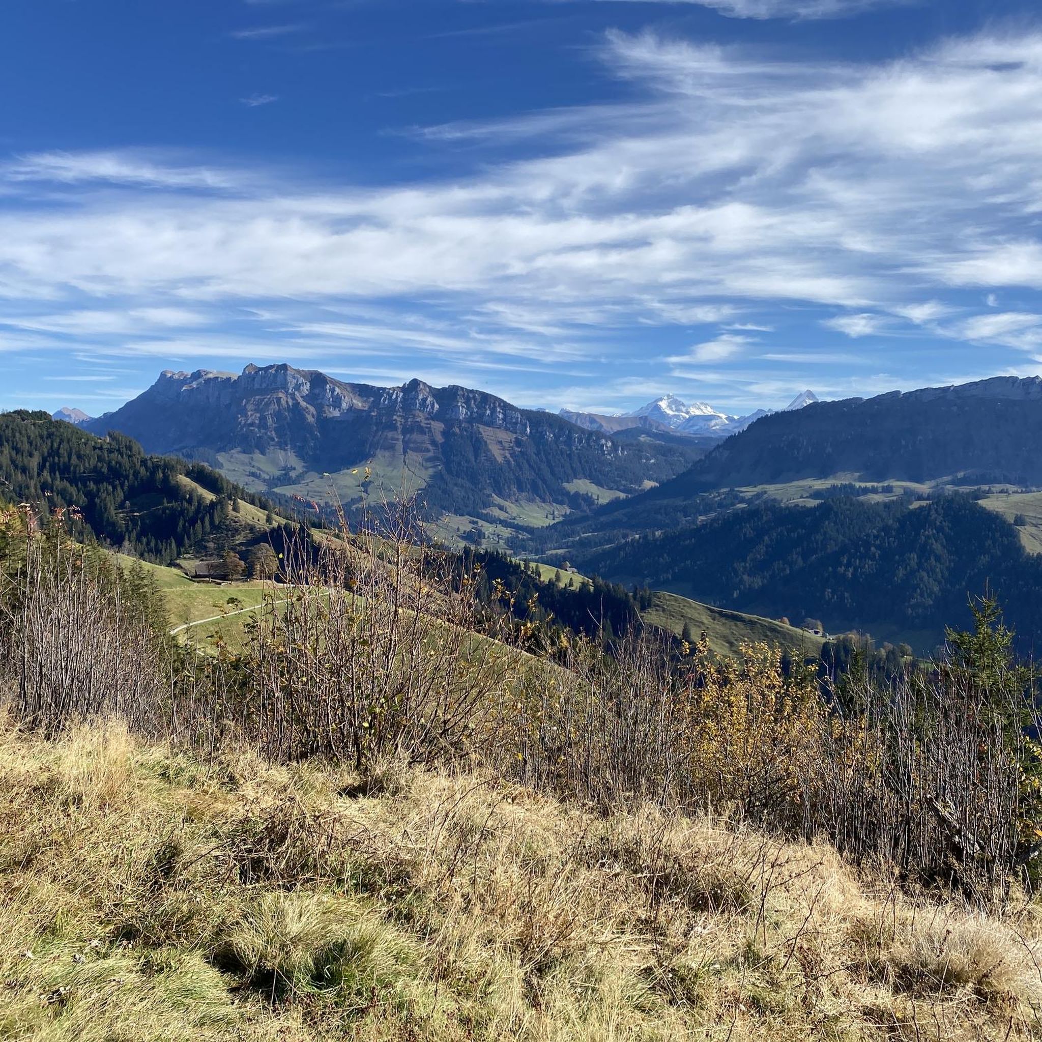
Mountaineering routes around Eriz are situated in the Bernese Oberland, characterized by its rugged alpine landscape, deep valleys, and prominent peaks. The region features a mix of forested slopes, high alpine pastures, and rocky ridges, offering varied terrain for ascents. Elevations in Eriz provide expansive views of the surrounding mountains and valleys. The area is known for its challenging climbs and significant elevation gains.
Best mountaineering routes around Eriz
- The most popular mountaineering route is Augstmatthorn – View from Suggiture…
Last updated: July 6, 2026
4.5
(4)
42
hikers
6.46km
03:07
530m
530m
Hard mountaineering route. Good fitness required. Sure-footedness, sturdy shoes and alpine experience required.
5.0
(2)
27
hikers
17.0km
07:16
820m
810m
Hard mountaineering route. Very good fitness required. Sure-footedness, sturdy shoes and alpine experience required.

Sign up for free
5.0
(1)
12
hikers
14.9km
06:17
720m
710m
Hard mountaineering route. Very good fitness required. Sure-footedness, sturdy shoes and alpine experience required.
5.0
(4)
11
hikers
12.6km
05:53
880m
880m
Hard mountaineering route. Very good fitness required. Sure-footedness, sturdy shoes and alpine experience required.
5.0
(3)
9
hikers
12.2km
05:16
780m
780m
Hard mountaineering route. Very good fitness required. Sure-footedness, sturdy shoes and alpine experience required.
Get access to more routes and recommendations from other explorers.
Sign up for free
Already have an account?
Our route recommendations are based on thousands of hikes, rides, and runs completed by other people on komoot.
Start today with a free account
Your next adventure awaits.
Login or Signup
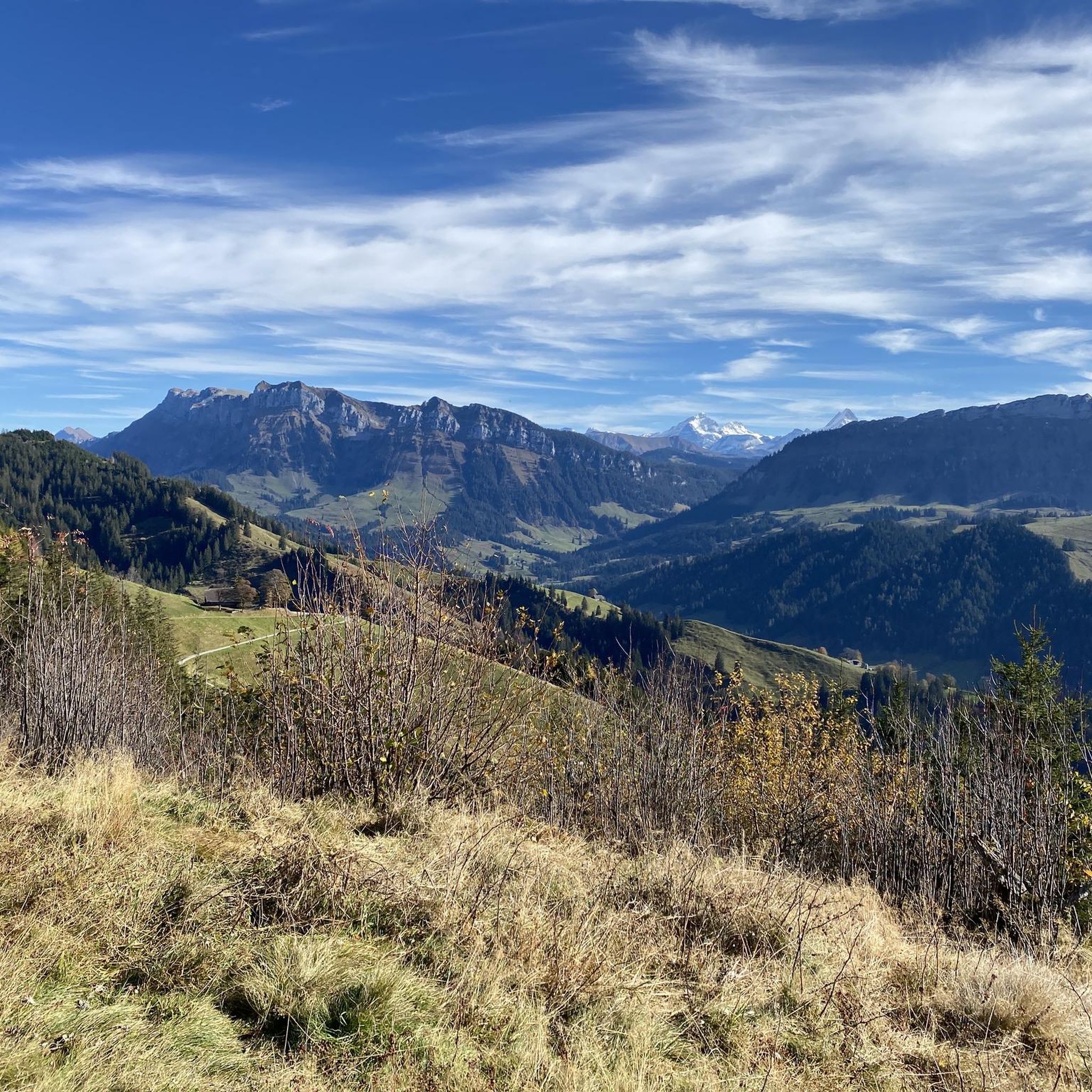
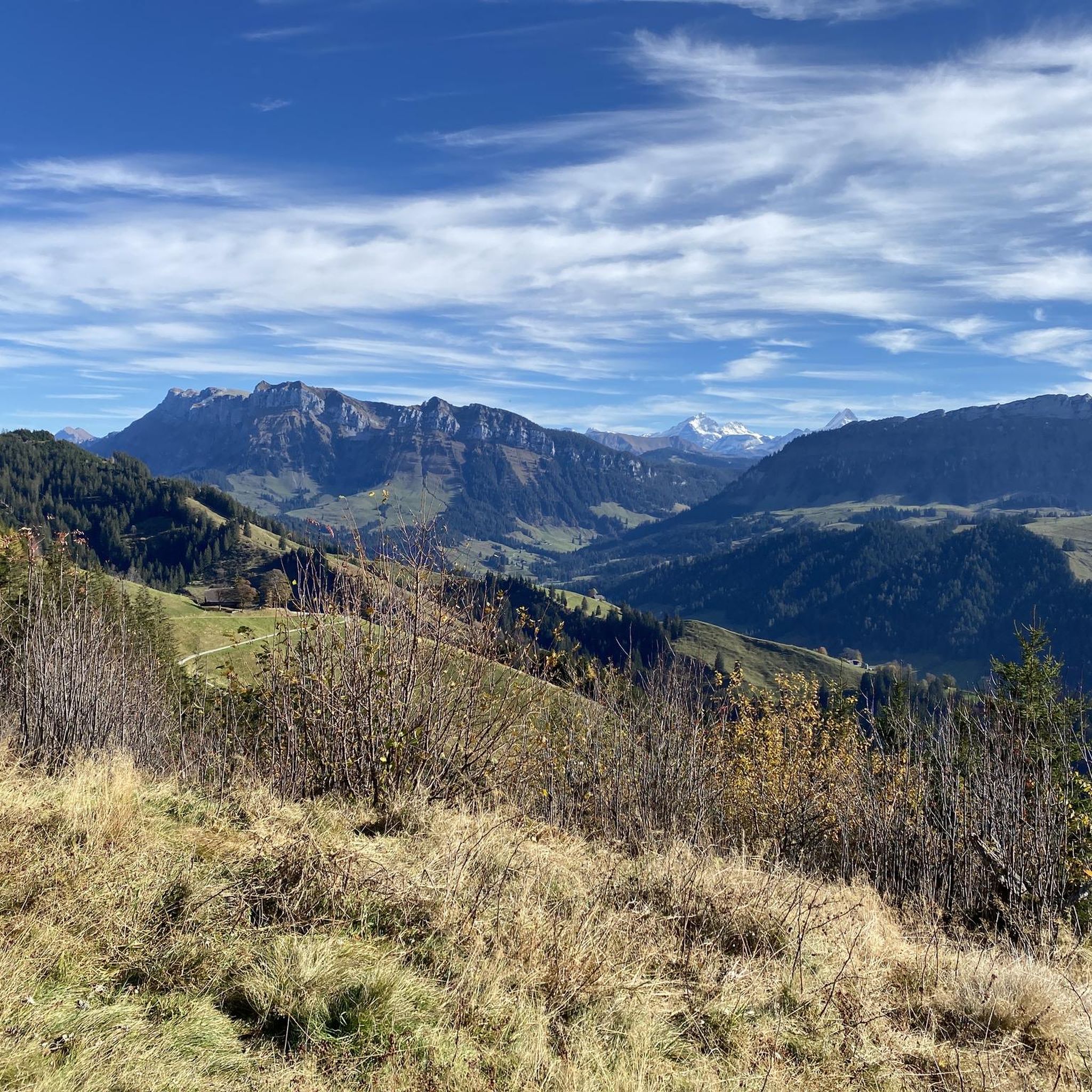
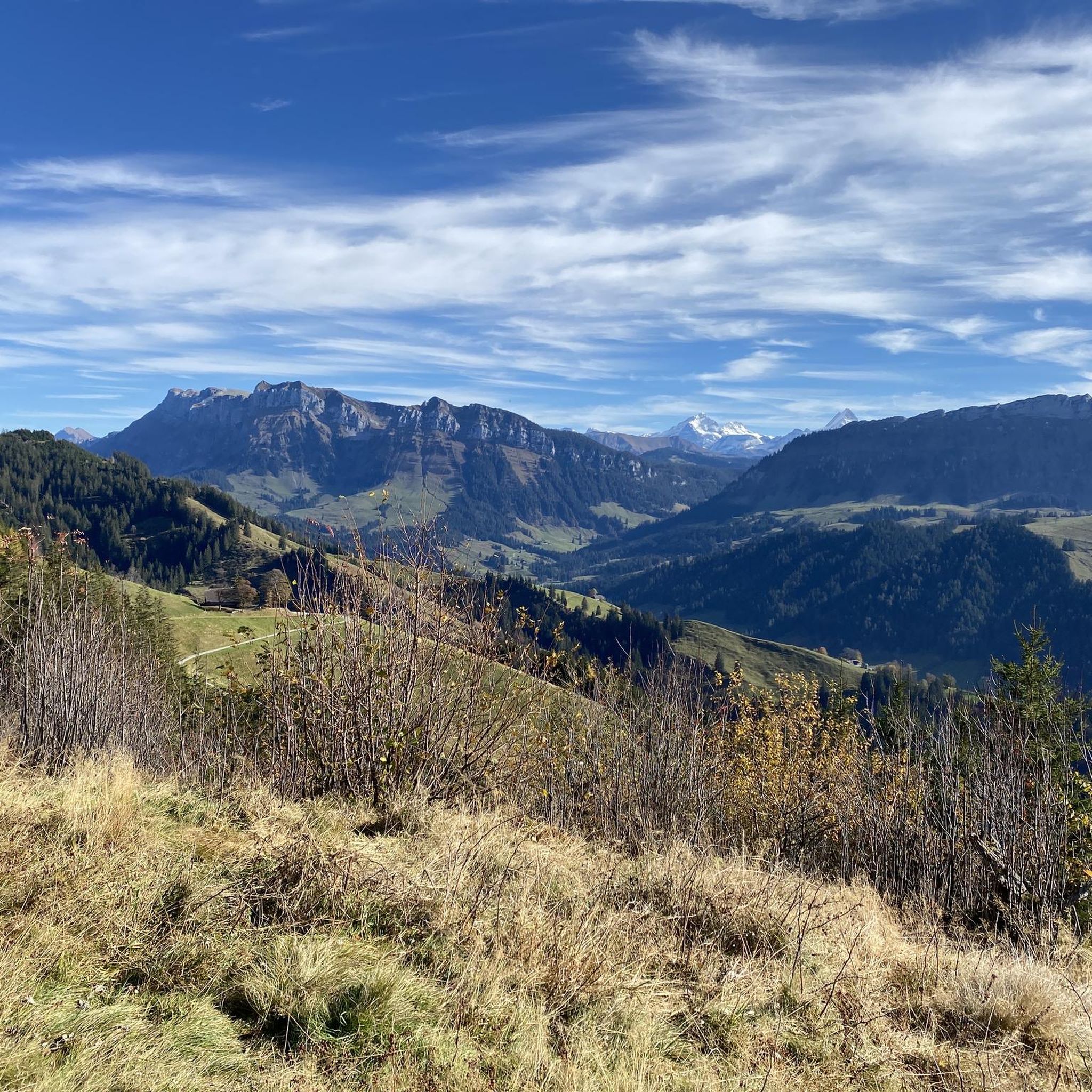
Tips from the Community

pretty here, very pretty
0
0
pretty here, very pretty
0
0
super pretty ridge. Very airy up here
0
0
super pretty ridge. Very airy up here
1
0

Very nice people and delicious sausage. Highly recommended cake.
0
0

A beautiful highlight of the Brienzer Grat ridge
0
0
Frequently Asked Questions
What is the general difficulty level of mountaineering routes in Eriz?
Mountaineering routes around Eriz are predominantly challenging. The region features 19 difficult routes and 5 moderate routes, with no easy options listed. This indicates a focus on more experienced mountaineers seeking significant elevation gains and rugged terrain.
Are there any mountaineering routes suitable for beginners in Eriz?
While Eriz is known for its challenging terrain, there are a few moderate mountaineering routes that might be more accessible for those with some experience. However, true beginner routes are not prevalent in this area, which is characterized by its demanding alpine landscape.
When is the best time of year for mountaineering in Eriz?
The optimal time for mountaineering in Eriz is typically from late spring to early autumn (June to September). During these months, trails are generally free of snow, and weather conditions are more stable, offering the best opportunities to enjoy the high alpine environment.
Is winter mountaineering possible in Eriz?
Winter mountaineering in Eriz is possible but requires specialized equipment, extensive experience, and careful planning due to snow, ice, and avalanche risks. Conditions can be severe, and many routes become significantly more challenging or inaccessible. Always check current conditions and forecasts before attempting winter ascents.
Are there any circular mountaineering routes in Eriz?
Yes, Eriz offers several circular mountaineering routes. For example, you could explore the challenging Sichle Pass – Schibe Summit loop from Säge, which covers 12.7 km with significant elevation gain. Another option is the Trogenhorn loop from Säge, a demanding 11.1 km tour.
What kind of views can I expect on mountaineering routes in Eriz?
Mountaineering routes in Eriz offer expansive panoramic views of the Bernese Oberland. You can expect to see rugged alpine landscapes, deep valleys, and prominent peaks. Routes like the Augstmatthorn – View from Suggiture loop from Augstmatthorn provide stunning vistas across the Brienzersee and surrounding mountains.
Are there any interesting landmarks or attractions near the mountaineering routes in Eriz?
While the focus in Eriz is on the alpine environment, the broader region offers historical and natural attractions. You could visit nearby castles like Thun Old Town and Castle or Oberhofen Castle. For scenic viewpoints, consider the Blueme Observation Tower.
What do other mountaineers enjoy most about the routes in Eriz?
The mountaineering routes in Eriz are highly rated by the komoot community, with an average score of 4.9 stars from over 30 reviews. Mountaineers frequently praise the challenging ascents, the high alpine ridges, and the rewarding panoramic viewpoints that define the region's trails.
Is parking available near the trailheads for mountaineering in Eriz?
Parking availability varies by trailhead in Eriz. While some starting points in villages or at lower alpine pastures may offer designated parking areas, these can sometimes be limited or require a fee. It's advisable to check specific route descriptions or local information for parking details before your trip.
Can I reach mountaineering routes in Eriz using public transport?
Public transport, primarily PostBus services, can provide access to some of the starting points for mountaineering routes in Eriz. However, access might be less direct for more remote trailheads. Planning your journey in advance using public transport timetables is recommended to ensure you can reach your desired starting point.
Are there any hidden gem mountaineering trails in Eriz that are less crowded?
While specific 'hidden gems' are hard to pinpoint as they often become popular, routes that venture deeper into the alpine wilderness, away from the most well-known peaks, tend to be less crowded. Exploring trails like the Schafloch Cave West Entrance – Alp Oberbärgli loop from Schwändiblueme might offer a more secluded experience due to its challenging nature and length.
What should I know about weather conditions when planning a mountaineering trip in Eriz?
Weather in the Bernese Oberland can change rapidly, especially at higher altitudes. It's crucial to check the forecast immediately before and during your trip. Be prepared for sudden drops in temperature, rain, or even snow, even in summer. Layered clothing, waterproof gear, and sun protection are essential.
Most popular attractions around Eriz

Get inspired with the komoot mobile app


Explore more
Browse the best Mountain Hikes & Routes in other regions.
