The best walks and hikes around Saint-Marcel
4.4
(134)
576
hikers
68
hikes
Hiking around Saint-Marcel offers trails through a landscape characterized by river valleys, historical bridges, and gentle elevations. The region features a mix of open countryside and areas with historical structures like châteaux. These routes typically involve modest elevation gains, making them accessible for various fitness levels. The terrain often includes paths alongside waterways and through rural settings.
Best hiking trails around Saint-Marcel
- The most popular hiking route is Between Bridges and Castles Trail, a 5.7 miles (9.2 km) trail…
Last updated: October 12, 2026
4.6
(5)
22
hikers
9.15km
02:26
90m
100m
Hike the moderate 5.7-mile Pont-Chrétien-Chabenet loop, featuring historic castles, a covered bridge, and river views.
4.5
(8)
28
hikers
Moderate hike. Good fitness required. Easily-accessible paths. Suitable for all skill levels.

5.0
(3)
12
hikers
Moderate hike. Good fitness required. Easily-accessible paths. Suitable for all skill levels.
4.2
(5)
19
hikers
6.30km
01:40
50m
60m
Easy hike. Great for any fitness level. Easily-accessible paths. Suitable for all skill levels.
4.5
(11)
37
hikers
Easy hike. Great for any fitness level. Easily-accessible paths. Suitable for all skill levels.
Get access to more routes and recommendations from other explorers.
Already have an account?
Our route recommendations are based on thousands of hikes, rides, and runs completed by other people on komoot.
Start today with a free account
Your next adventure awaits.
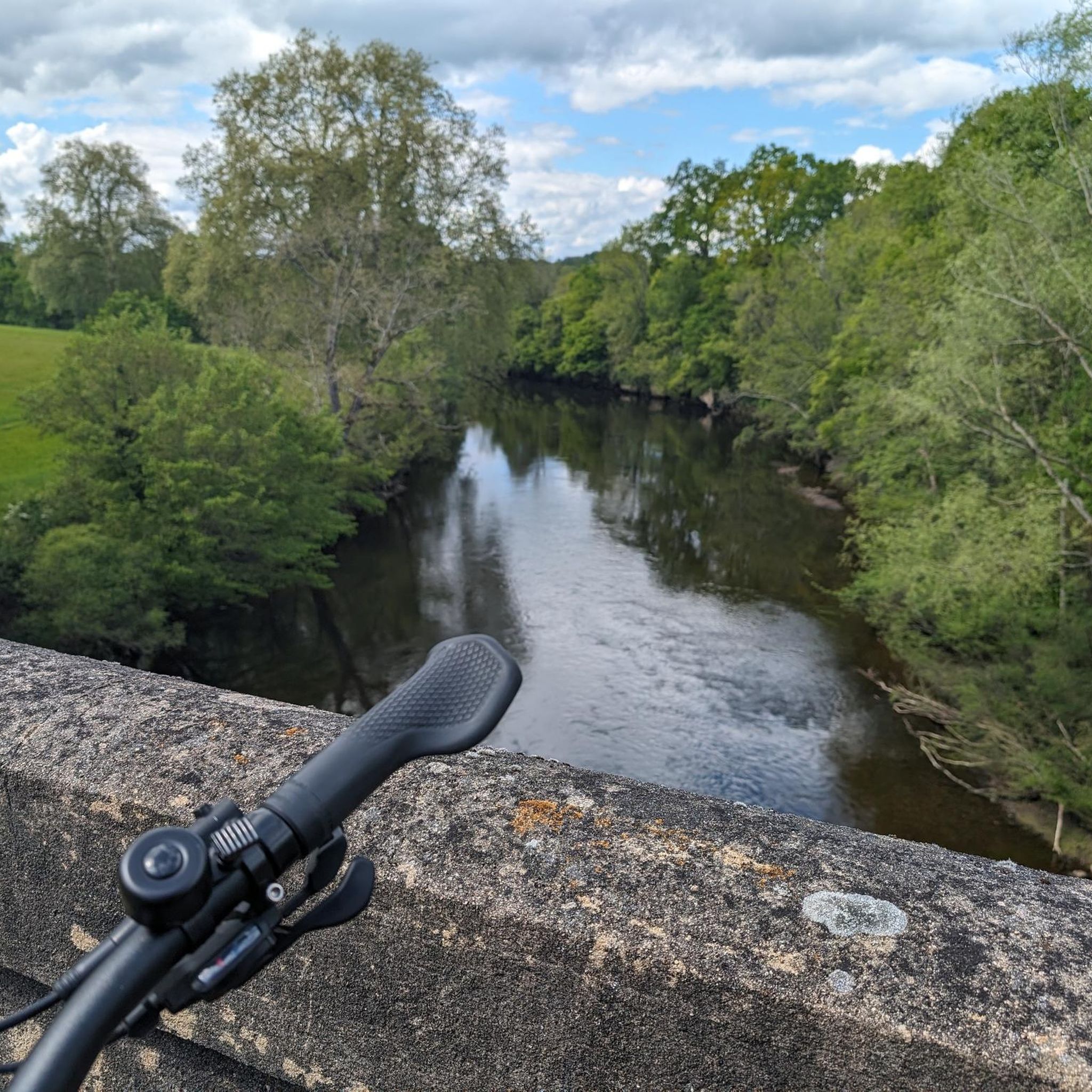
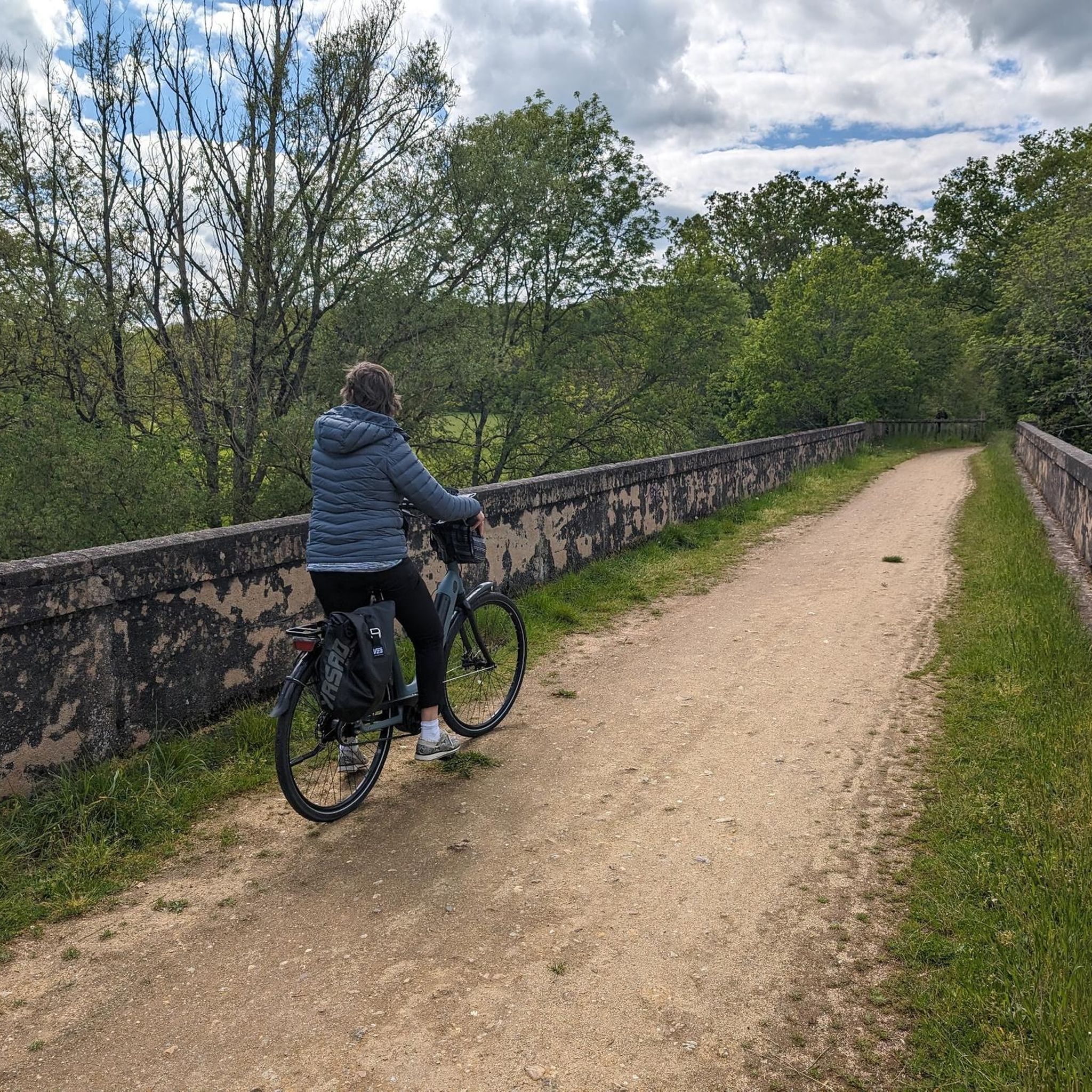

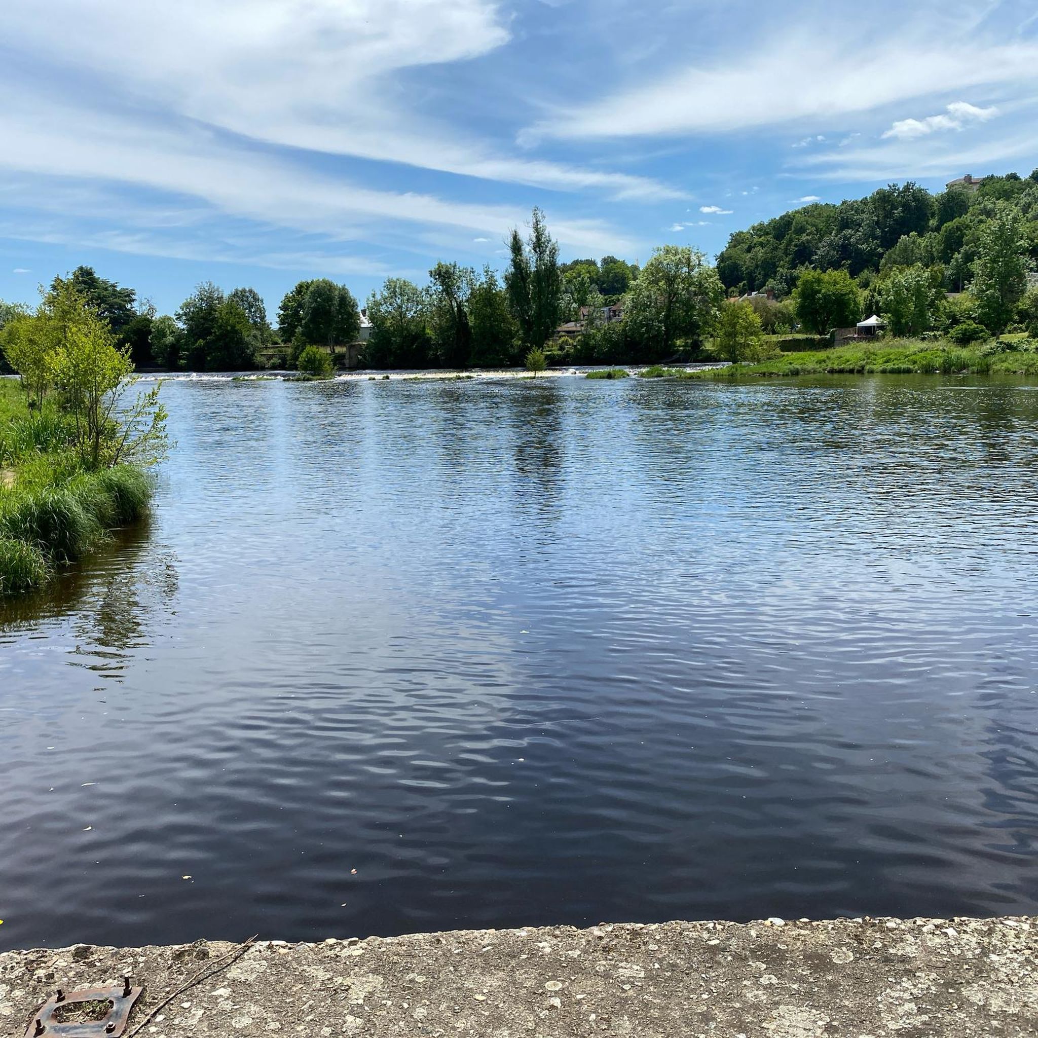
Tips from the Community


Towering over Argenton-sur-Creuse is the gilded statue of the Bonne Dame, a beacon visible from afar. What few people know is that this six-meter-high statue was dragged from the train station to the chapel in 1899 by ten oxen and thirteen horses, to the loud applause of the town's inhabitants. Today, you can hike up the hill yourself and be rewarded with a panoramic view of the Creuse valley—with the Bonne Dame still standing guard over the town.
4
0
A beautiful route full of variety! A delightful loop with everything included: views of the Château de Chabenet, a stop at the charming Château du Petit-Broutet, the unique Pont Couvert bridge, and the impressive Viaduc de la Bouzanne. The mix of riverbanks, forests, and open fields ensures you'll constantly encounter a new setting. There are plenty of quiet spots along the way to pause and enjoy the scenery. Definitely recommended for those who enjoy combining culture and nature.
4
0
A beautiful route full of variety! A delightful loop with everything included: views of the Château de Chabenet, a stop at the charming Château du Petit-Broutet, the unique Pont Couvert bridge, and the impressive Viaduc de la Bouzanne. The mix of riverbanks, forests, and open fields ensures you'll constantly encounter a new setting. There are plenty of quiet spots along the way to pause and enjoy the scenery. Definitely recommended for those who enjoy combining culture and nature.
2
0
A beautiful route full of variety! A delightful loop of approximately 8 km that includes everything: views of the Château de Chabenet, a stop at the charming Château du Petit-Broutet, the unique Pont Couvert bridge, and the impressive Viaduc de la Bouzanne. The mix of riverbanks, forests, and open fields ensures you'll constantly encounter a new setting. There are plenty of quiet spots along the way to pause and enjoy the surroundings. Definitely recommended for those who enjoy combining culture and nature.
6
0


From the chemin de charrières, which runs along La Bouzanne, you have a fantastic view of the castle above the path. The asphalt path is easy to walk on and has little traffic, even in addition to the fantastic view of the castle. The best way to get to this path from the castle is to walk to the railway bridge. Then turn left into the dead end before the railway bridge. This path, which is also asphalted, leads directly to the chemin de charrières, which you have to follow for about 1 km in the valley to get to the viewing point with a view of the castle. Just do it❗
1
0
Information at: https://www.lepontchretienchabenet.fr/Chateau-du-Petit-Broutet.html
0
0
Frequently Asked Questions
How many hiking trails are available around Saint-Marcel?
There are over 60 hiking routes documented around Saint-Marcel on komoot. These trails range from easy strolls to more challenging excursions, offering a variety of experiences for different fitness levels.
Are there easy hiking routes suitable for beginners in Saint-Marcel?
Yes, Saint-Marcel offers a good selection of easy hikes. Approximately 30 routes are classified as easy, making them ideal for beginners or those looking for a relaxed walk. An example is The Old Bridge – Argenton-sur-Creuse loop from Argenton-sur-Creuse, which is about 4.6 miles (7.4 km) long.
What kind of challenging hikes can I find in the Saint-Marcel area?
While the region is generally known for gentle elevations, there are a few routes that offer a more challenging experience. Komoot lists 3 routes as difficult, which typically involve longer distances or slightly more varied terrain. These routes provide a good workout while still allowing you to enjoy the scenic landscape.
Are there any family-friendly hiking trails around Saint-Marcel?
Many of the trails around Saint-Marcel are suitable for families, especially those with modest elevation gains and well-maintained paths. The region's mix of open countryside and historical structures can keep younger hikers engaged. Look for the 'easy' graded routes for the most family-friendly options.
Can I bring my dog on the hiking trails in Saint-Marcel?
Most hiking trails in the Saint-Marcel area are dog-friendly, allowing you to enjoy the natural beauty with your canine companion. However, it's always recommended to keep dogs on a leash, especially near livestock or in protected natural areas, and to check specific trail regulations if available.
What are the typical lengths and durations of hikes near Saint-Marcel?
Hikes around Saint-Marcel vary in length, but many popular routes are between 4 to 6 miles (6 to 10 km) and can be completed in 2 to 3 hours. For example, the Between Bridges and Castles Trail is 5.7 miles (9.2 km) and takes about 2 hours 26 minutes.
Are there circular hiking routes available in Saint-Marcel?
Yes, the Saint-Marcel area features numerous circular hiking routes, perfect for exploring without retracing your steps. An example is the Railway bridge over the Creuse – The Old Bridge loop from Saint-Marcel, which offers a scenic loop through riverine landscapes.
What interesting landmarks or attractions can I see along the hiking trails?
The trails around Saint-Marcel often pass by historical structures and natural points of interest. You might encounter sights like The Old Bridge, or enjoy views of the Château de Chabenet. The region also features charming settlements like Gargilesse-Dampierre.
What do other hikers enjoy most about hiking in Saint-Marcel?
The area is highly rated by the komoot community, with an average score of 4.4 stars from over 100 reviews. Hikers often praise the region's gentle river paths, the blend of natural scenery with historical structures, and the accessibility of routes for various skill levels.
Is public transport available to reach trailheads in Saint-Marcel?
While specific public transport options directly to every trailhead may be limited, Saint-Marcel itself is accessible by regional transport. It's advisable to check local bus schedules or train connections to nearby towns and then plan your hike from there, potentially using shorter routes or local taxi services to reach more remote starting points.
What is the best time of year to go hiking in Saint-Marcel?
The best time to hike in Saint-Marcel is generally from spring through autumn. During these seasons, the weather is mild, and the natural landscape is vibrant. Spring brings blooming flora, while autumn offers beautiful foliage. Summer is also pleasant, though it's wise to start earlier in the day to avoid the midday heat.
Are there any specific parking facilities for hikers in Saint-Marcel?
Parking for hikers in Saint-Marcel is typically available in or near the villages and towns where trailheads begin. Look for public car parks in Saint-Marcel itself or in nearby communities like Argenton-sur-Creuse. Some popular trail starting points may have designated, albeit smaller, parking areas.
Most popular attractions around Saint-Marcel

Get inspired with the komoot mobile app


Explore more
Browse the best Hikes in other regions.
