The best walks and hikes around Clumanc
4.3
(315)
2,105
hikers
80
hikes
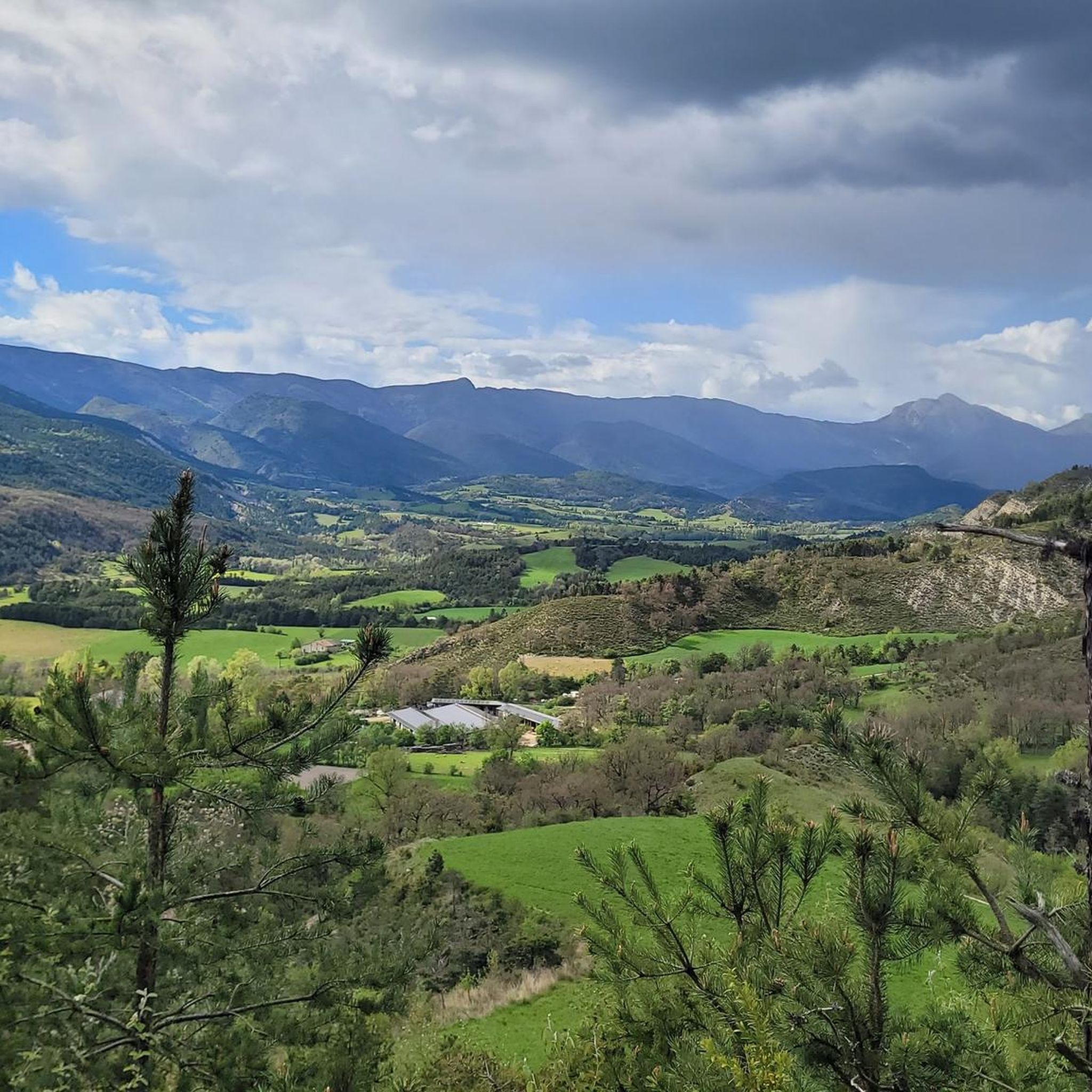
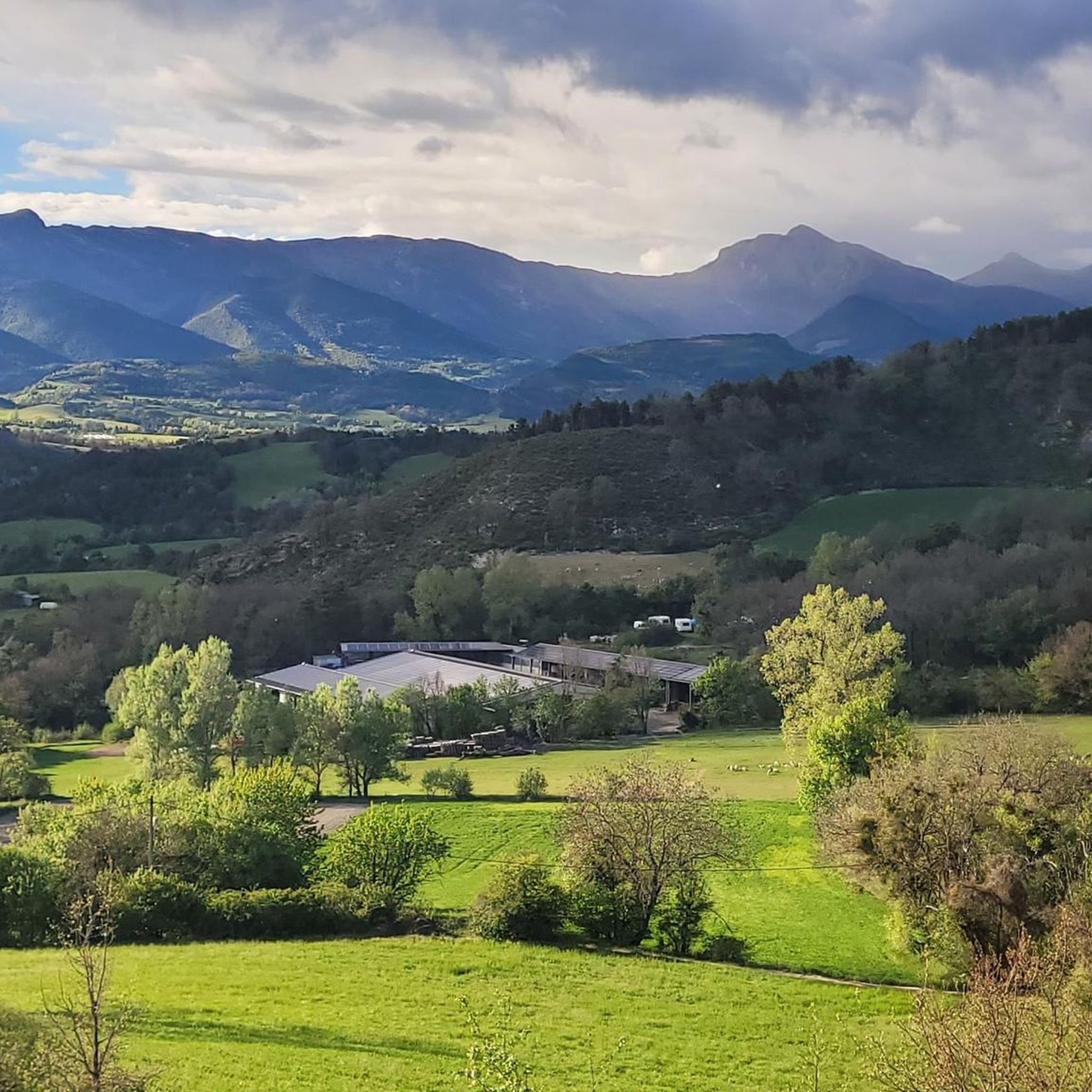
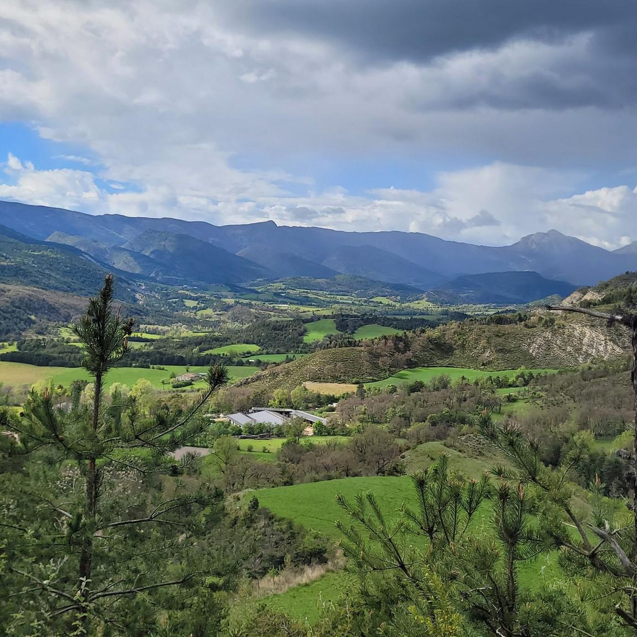
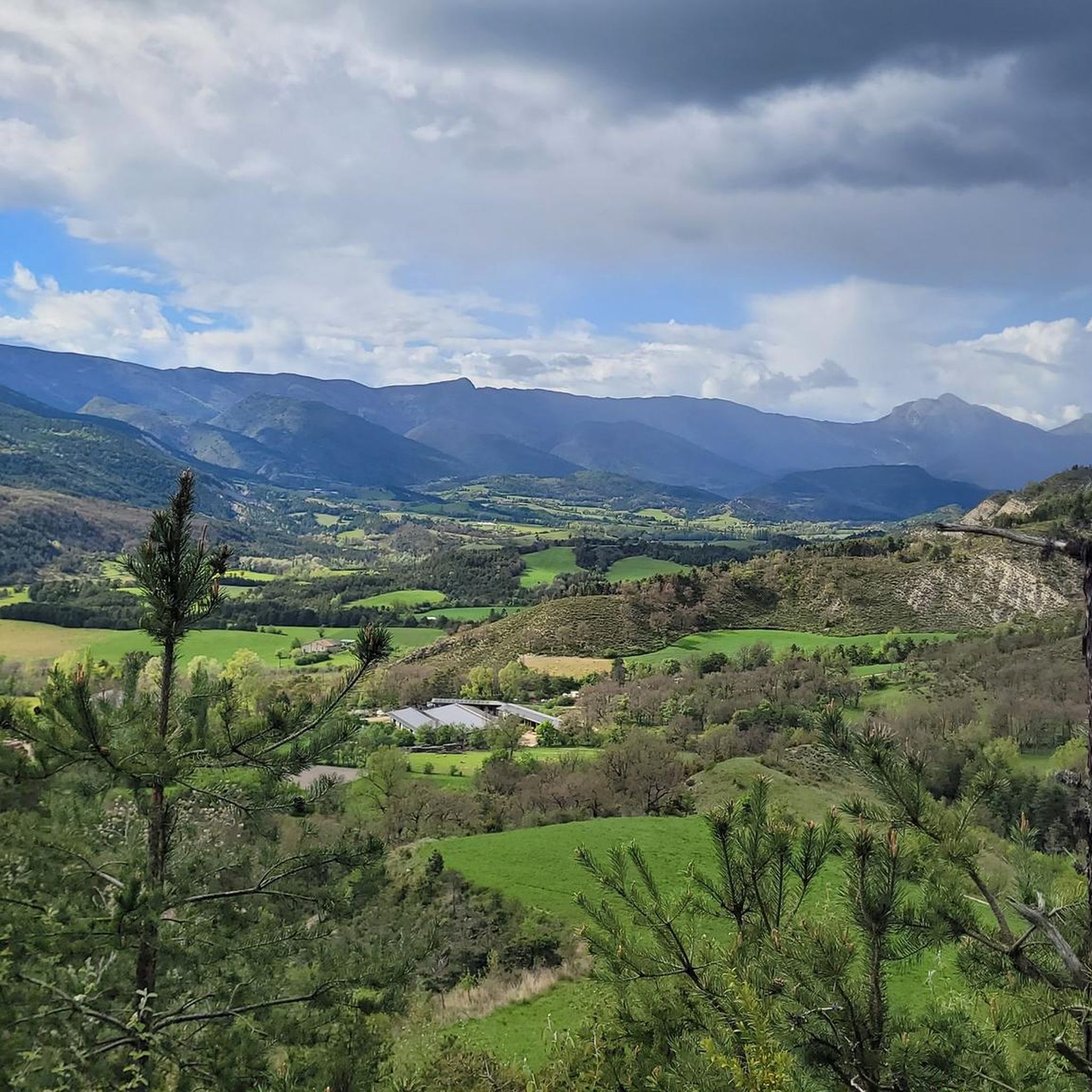
Hiking around Clumanc offers diverse landscapes in the Alpes-de-Haute-Provence region, characterized by a blend of Alpine and Provençal influences. The area features the scenic Asse Valley, significant geological formations like the "Robines" or black marls, and access to the Haute-Provence Geological Reserve. This region provides a network of marked paths through varied terrain, from valley floors to higher-altitude summits.
Best hiking trails around Clumanc
- The most popular hiking route is Joli panorama – Trail to the Pas de la Faye…
Last updated: June 25, 2026
5.0
(10)
89
hikers
13.5km
04:56
670m
670m
Hard hike. Good fitness required. Sure-footedness, sturdy shoes and alpine experience required.
5.0
(4)
25
hikers
Hard hike. Good fitness required. Sure-footedness, sturdy shoes and alpine experience required.

Sign up for free
4.6
(7)
16
hikers
Moderate hike. Good fitness required. Easily-accessible paths. Suitable for all skill levels.
4.8
(4)
9
hikers
6.85km
02:02
200m
200m
Moderate hike. Good fitness required. Easily-accessible paths. Suitable for all skill levels.
8
hikers
9.96km
03:04
360m
360m
Moderate hike. Good fitness required. Easily-accessible paths. Suitable for all skill levels.
Get access to more routes and recommendations from other explorers.
Sign up for free
Already have an account?
Our route recommendations are based on thousands of hikes, rides, and runs completed by other people on komoot.
Start today with a free account
Your next adventure awaits.
Login or Signup
Tips from the Community

Wow. Simply wow. Strenuous and exposed path up to the pass. Lots of pushing and short carrying. But worth every meter. Amazing view!!
0
0

I recommend a little detour to Tartonne, because honey is produced there and the village has a very interesting salt water source.
1
0

The Charvet mountain is located at 1,691 meters. The summit offers a beautiful panorama from the Cheval Blanc to the Barre des Dourbes. From here you can follow the ridges towards Séoune.
0
0
Here, the path descends via switchbacks through the undergrowth. Absolutely stunning !
0
0


Magnificent flowery hike! A feast for the eyes.
0
0
Frequently Asked Questions
How many hiking trails are available around Clumanc?
Clumanc offers a wide selection of hiking opportunities, with over 70 trails available. These range from easy strolls to challenging multi-hour treks, catering to various skill levels.
What kind of terrain can I expect on hikes in Clumanc?
The terrain around Clumanc is diverse, reflecting its blend of Alpine and Provençal influences. You'll find trails through the scenic Asse Valley, past significant geological formations like the 'Robines' (black marls), and ascending to higher-altitude summits. Expect a mix of rugged paths and gentler, Mediterranean-influenced scenery.
Are there any easy or family-friendly hiking options?
Yes, Clumanc provides several easy options suitable for families. While specific easy routes are not detailed in the top recommendations, the region's extensive network includes 17 easy trails. The Circuit du Château, mentioned in regional research, is an easy, hour-long loop offering views of historical sites and the Asse valley.
Can I bring my dog on the trails around Clumanc?
Many trails in the Alpes-de-Haute-Provence region are dog-friendly, but it's always advisable to check local regulations for specific routes or protected areas. Generally, dogs on a leash are welcome on most natural paths, allowing you and your canine companion to enjoy the diverse landscapes.
Are there circular hiking routes in Clumanc?
Yes, many of the trails around Clumanc are circular, offering varied scenery without retracing your steps. For example, the moderate Creisset hamlet loop from Passerelle de Creisset is a great option, covering nearly 8.7 km.
What natural features or landmarks can I see while hiking?
Hiking in Clumanc allows you to discover a wealth of natural and historical landmarks. You can explore the unique geological formations of the Asse Valley, including the 'Robines,' and potentially visit the nearby Haute-Provence Geological Reserve. Notable attractions include the Saint-Michel-de-Cousson Chapel and the artistic installation Sentinel of the Asse – Andy Goldsworthy. For panoramic views, consider routes that lead to summits like Sommet du Cheval Blanc or Sommet de la Sapée.
What do other hikers say about the trails in Clumanc?
The hiking trails around Clumanc are highly regarded by the komoot community, with an average rating of 4.4 stars from nearly 300 reviews. Hikers often praise the picturesque Haute-Provence landscapes, the geological features of the Asse Valley, and the challenging ascents to various summits, highlighting the region's diverse and rewarding experiences.
Are there challenging hikes for experienced hikers?
Absolutely. Clumanc offers several difficult routes for experienced hikers seeking a challenge. The Joli panorama – Trail to the Pas de la Faye loop from Les Dourbes is a difficult 13.5 km trail with significant elevation gain, taking nearly 5 hours to complete. Another challenging option is the Joli panorama – Trail to the Pas de la Faye loop from Maison Forestière du Serre, offering similar demanding terrain and expansive vistas.
When is the best time to hike in Clumanc?
The Alpes-de-Haute-Provence region generally offers pleasant hiking conditions from spring through autumn. Spring brings wildflowers and milder temperatures, while autumn provides vibrant foliage. Summer can be warm, so early morning or late afternoon hikes are recommended. Always check local weather forecasts before heading out.
Are there any mountain passes to explore nearby?
Yes, the region around Clumanc features several mountain passes that offer scenic views and challenging ascents. You can explore passes such as Col du Défens (1,230 m), Col des Robines, and Corobin Pass, each providing unique perspectives of the landscape.
What other outdoor activities are available near Clumanc?
Beyond hiking, the broader Alpes-de-Haute-Provence department offers a range of outdoor activities. A short distance away, the stunning Verdon Gorges provide opportunities for canoeing, kayaking, and rafting. Lac de Castillon is ideal for swimming and various water sports. You can also find options for mountain biking, cycling, paragliding, and tree climbing in the area.
Where can I find more information about hiking paths in the Haute-Provence region?
For more detailed information on hiking paths and walking trails throughout the Haute-Provence region, you can visit the official tourism website: haute-provence-tourisme.com. This resource provides additional context and options for exploring the area.
Most popular attractions around Clumanc

Get inspired with the komoot mobile app


Explore more
Browse the best Hikes in other regions.
