The best walks and hikes around Pérassay
4.6
(55)
197
hikers
37
hikes
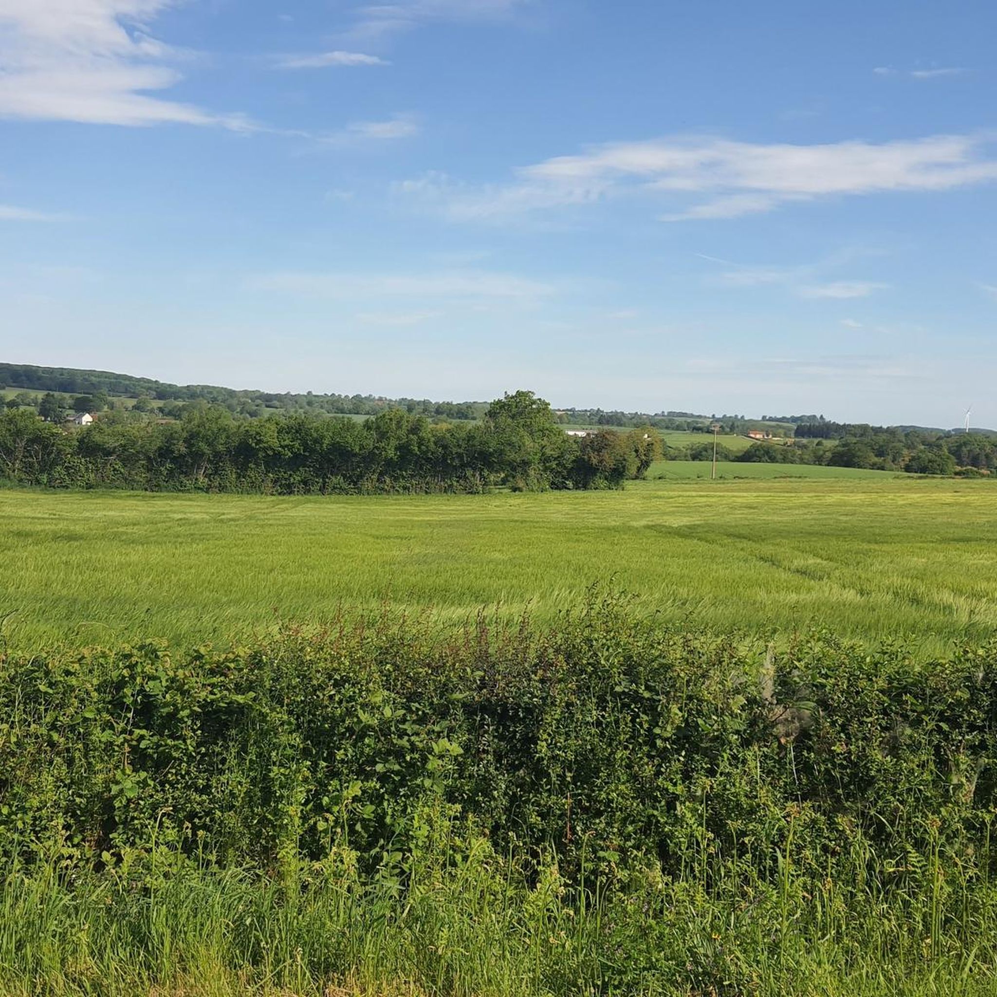
Hiking around Pérassay offers exploration through the undulating landscapes of the Boischaut Sud, characterized by rolling hills and varied terrain. The region's altitude ranges from 268 to 422 meters, providing diverse perspectives for hikers. Tranquil bodies of water, such as the Etang de la commune Champillet, are integrated into many routes, enhancing the natural appeal of the area. These popular hiking trails Pérassay often lead past historical sites like the ruins of the Château de la Roche-Guillebaud, adding cultural interest…
Last updated: July 1, 2026
5.0
(2)
6
hikers
18.3km
04:59
260m
260m
Moderate hike. Good fitness required. Easily-accessible paths. Suitable for all skill levels.
4.0
(1)
3
hikers
11.8km
03:11
150m
150m
Hike the moderate 7.3-mile La Source de l'Indre loop near Saint-Priest-la-Marche, featuring 508 feet of elevation gain and the source of the

Sign up for free
5.0
(2)
19
hikers
8.23km
02:17
150m
150m
Moderate hike. Good fitness required. Easily-accessible paths. Suitable for all skill levels.
3.0
(2)
17
hikers
12.8km
03:33
220m
230m
Moderate hike. Good fitness required. Easily-accessible paths. Suitable for all skill levels.
5.0
(2)
7
hikers
14.8km
04:06
270m
270m
Moderate hike. Good fitness required. Easily-accessible paths. Suitable for all skill levels.
Get access to more routes and recommendations from other explorers.
Sign up for free
Already have an account?
Our route recommendations are based on thousands of hikes, rides, and runs completed by other people on komoot.
Start today with a free account
Your next adventure awaits.
Login or Signup

Tips from the Community

Near Saint-Priest-La-Marche, at a place called Beddes in Cher (18) at an altitude of 454 m, discover the source of the Indre river which crosses the department of the same name (36) passing through the towns of Sainte Sévère, La Châtre, Ardentes, Châteauroux (prefecture), Buzançais. It is a tributary of the Loire.
0
0

One of the pretty trails of the GR de Pays "On the path of the Maîtres Sonneurs", which is inspired by George Sand's book of the same name and is maintained on a daily basis by an association.
1
0
Source of the Indre, which confluences with the Loire 265km further, after crossing the departments of Cher, Indre and Indre-et-Loire. One of the particularities of the Indre is that its banks are private, belonging to the owners of neighboring land.
0
0

Filming location of Jour de Fête by Jacques Tati. Dedicated museum. Beautiful square with its old covered market. the quiches from the bakery are really great value for money!
0
0

The castle, whose tower marks its presence, was built around the 11th century and seems to have been built and rebuilt over hundreds of years. It was the victim of at least two landslides, the second of which would occur around 1900.
2
0
The Château du Mont takes its name from the rocks on which it is built and overlooks the Rio Brûlé valley. It is believed to have been built in the 14th century.
2
0

Beautiful village with special museum Le Fète du Jour.
0
0
Frequently Asked Questions
How many hiking trails are available around Pérassay?
There are over 35 hiking trails around Pérassay, offering a variety of experiences. These include 12 easy routes, 21 moderate trails, and 4 more challenging options, ensuring there's something for every skill level.
What kind of landscapes can I expect to see while hiking in Pérassay?
Hiking in Pérassay takes you through the picturesque, rolling landscapes of the Boischaut Sud, an area famously depicted by author George Sand. You'll encounter varied terrain with altitudes ranging from 268 to 422 meters, tranquil bodies of water like the Etang de la commune Champillet, and historical sites.
Are there any easy hiking trails suitable for beginners or families in Pérassay?
Yes, Pérassay offers 12 easy hiking routes perfect for beginners or families. An example is the Source de l'Indre loop from Saint-Priest-la-Marche, which is 6.6 km long and typically takes under 2 hours to complete.
What historical sites or landmarks can I explore on a hike near Pérassay?
Several historical sites enhance the hiking experience. You can explore the intriguing Ruins of the Château de la Roche-Guillebaud, which are nestled among moss and rocks and feature an old underground passage. The charming Saint Peter's Church also offers scenic views overlooking the Etang de la commune Champillet.
Are there any circular hiking routes around Pérassay?
Yes, many routes in Pérassay are circular. For example, the Source of the Indre Loop is a moderate 11.8 km path that explores the natural source of the Indre river. Another option is the Château de Mont loop from Sainte-Sévère-sur-Indre, an 8.2 km trail through rural landscapes.
What do other hikers say about the trails in Pérassay?
The routes in Pérassay are highly rated by the komoot community, with an average score of 4.6 stars from over 50 reviews. Hikers often praise the varied scenery, the tranquil ponds, and the historical ruins that add cultural interest to their outdoor excursions.
Are there any hikes that offer panoramic views in the Pérassay area?
For elevated perspectives and potential panoramic views, consider a hike that includes Le Magnoux. This location is noted as the highest point of Cher and Centre-Val de Loire, making it a prime spot for expansive vistas.
Can I find trails that pass by lakes or water features in Pérassay?
Absolutely. The region features tranquil bodies of water such as the Etang de la commune Champillet and the Plan d'eau de Champillet. The Champillet Lake is a pleasant spot for breaks or picnics and is integrated into many routes, enhancing the natural appeal of the area.
What is a good moderate hike for someone looking for a longer day out?
For a longer moderate hike, consider the Sainte-Sévère-sur-Indre loop. This trail spans 18.3 km and typically takes around 5 hours to complete, offering varied scenery through the local countryside.
Are there any trails that are particularly good for exploring the local rural landscape?
Many trails showcase the rural landscape. The Statue of Sainte Sévère – Chemin des Buis loop from Sainte-Sévère-sur-Indre is a moderate 15.9 km route that leads through the charming rural areas, offering a good sense of the local environment.
Most popular attractions around Pérassay

Get inspired with the komoot mobile app


Explore more
Browse the best Hikes in other regions.
