The best walks and hikes around Aïcirits-Camou-Suhast
4.5
(141)
709
hikers
61
hikes
Hiking around Aïcirits-Camou-Suhast offers access to varied natural scenery within the Pyrénées-Atlantiques department of France. The region is characterized by lush landscapes, supported by a temperate climate with high annual rainfall. Hikers can explore areas featuring watercourses like the Bidouze, a designated Natura 2000 site, indicating rich biodiversity. The terrain provides a mix of paths suitable for different levels of outdoor activity.
Best hiking trails around Aïcirits-Camou-Suhast
- The most popular hiking route is Gibraltar Stele – Chapelle de Soyarza loop…
Last updated: July 9, 2026
4.8
(6)
30
hikers
11.4km
03:26
360m
360m
Moderate hike. Good fitness required. Easily-accessible paths. Suitable for all skill levels.
4.0
(2)
17
hikers
16.6km
04:51
470m
470m
Moderate hike. Good fitness required. Easily-accessible paths. Suitable for all skill levels.

Sign up for free
5.0
(1)
8
hikers
Hard hike. Very good fitness required. Easily-accessible paths. Suitable for all skill levels.
4
hikers
9.20km
02:27
100m
100m
Moderate hike. Good fitness required. Easily-accessible paths. Suitable for all skill levels.
5.0
(1)
6
hikers
7.74km
02:01
50m
50m
Moderate hike. Good fitness required. Easily-accessible paths. Suitable for all skill levels.
Get access to more routes and recommendations from other explorers.
Sign up for free
Already have an account?
Our route recommendations are based on thousands of hikes, rides, and runs completed by other people on komoot.
Start today with a free account
Your next adventure awaits.
Login or Signup
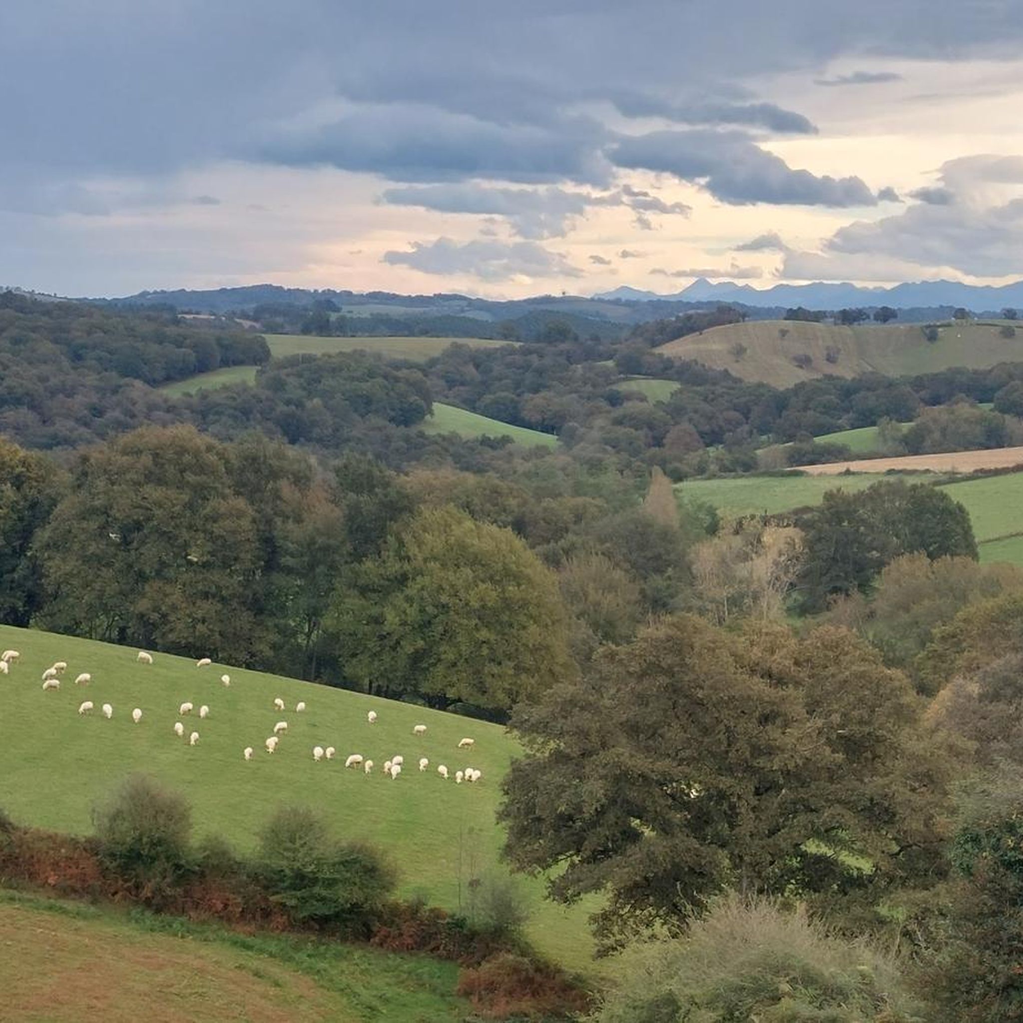

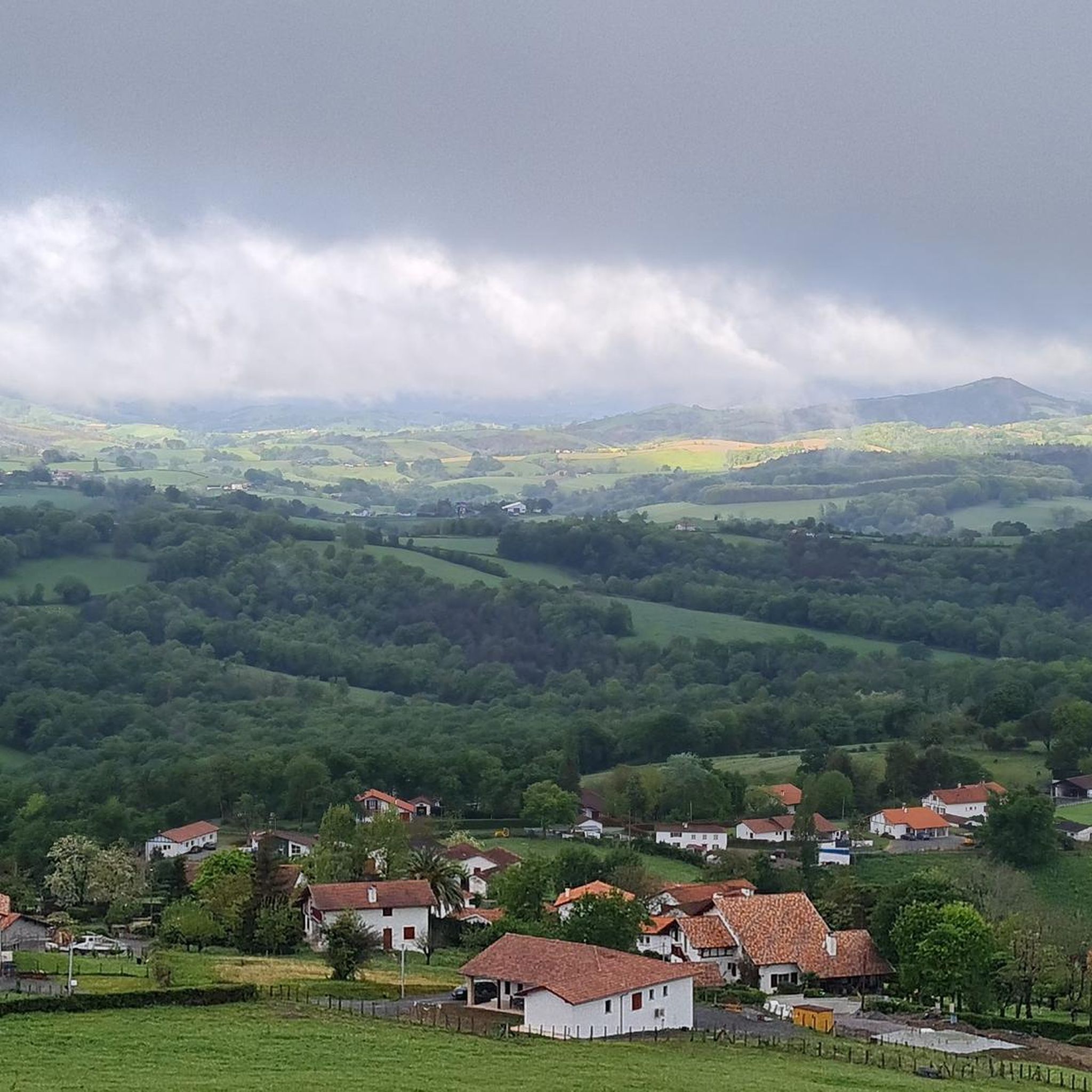
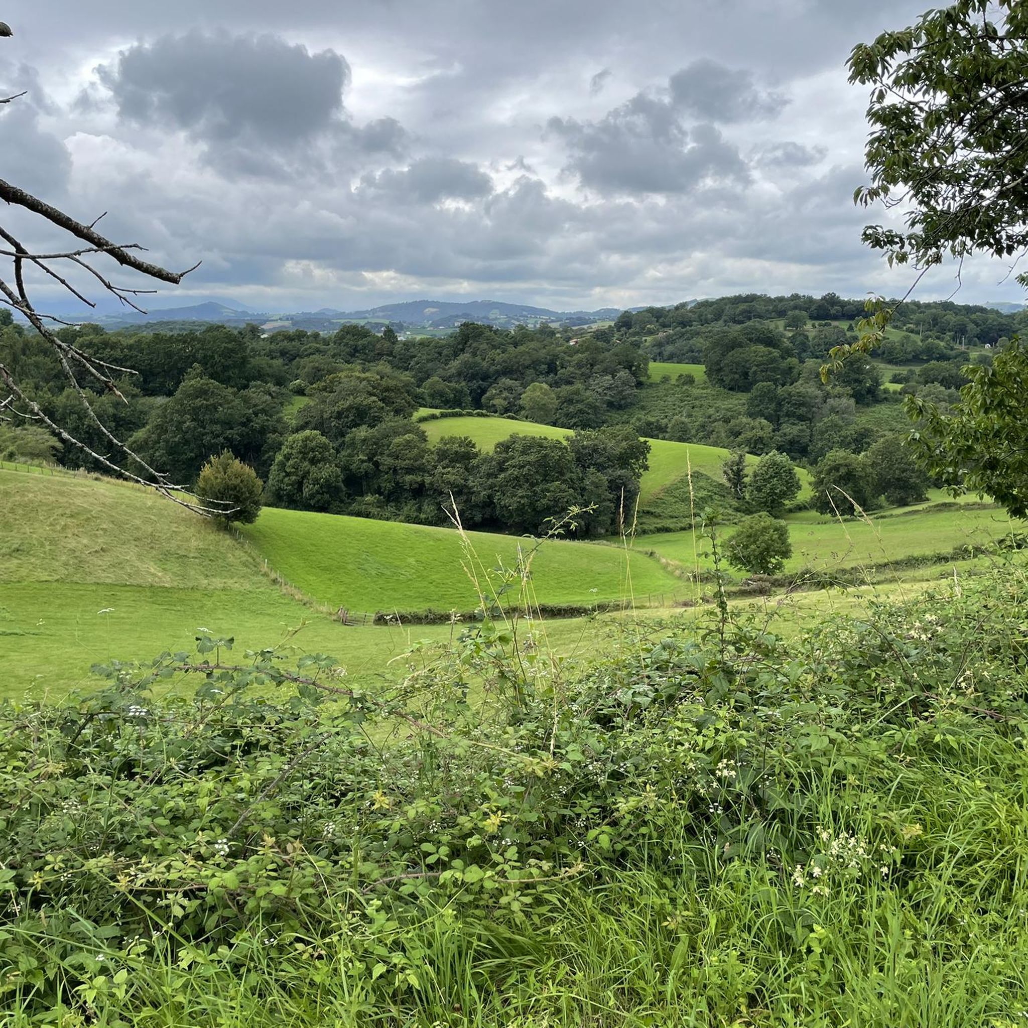
Tips from the Community

beautiful view, there is water and, if necessary, a rainproof place (for a maximum of 2 people), it is on the Way of St. James and you often meet other hikers or cyclists
0
0


The small village of Saint-Palais is located at the crossroads of the three Basque provinces of Labourd, Basse Navarre and Soule. Former capital of Navarre, the village has managed to preserve its traditions and its authentic culture.
1
0

Between Saint-Palais and Ostabat, three French Ways of St. James meet at a particularly beautiful stele, which lead together to Saint-Jean-Pied-de-Port. Via Podiensis / Voie du Puy-en-Velay Via Lemovicensis / Voie de Vezelay Via Touronensis / Voie de Tours
1
0

Near Ostabat, the Gibraltar Stele marks the spot where the three great routes to Santiago meet.
3
0
In the small hamlet of Gibraltar, a special cross stone marks the point where the Camino from Tours, Vezelay and Le Puy meet. From here they continue together.
0
0

The Gave d'Oloron is the meeting of the Gave d'Aspe and the Gave d'Ossau. A nice view especially when the sun goes down!
0
0
Frequently Asked Questions
How many hiking trails are available around Aïcirits-Camou-Suhast?
There are over 60 hiking routes in the Aïcirits-Camou-Suhast area, offering a variety of options for different skill levels and preferences. These trails are highly rated by the komoot community, with an average score of 4.5 stars from over 100 reviews.
What kind of terrain can I expect on hikes in Aïcirits-Camou-Suhast?
The region features lush and varied landscapes, characteristic of the Pyrénées-Atlantiques department. You can expect a mix of paths, often with a 'mountain or mountain edge' climate contributing to green environments. Many routes explore areas with watercourses, such as the Bidouze, a designated Natura 2000 site, indicating rich biodiversity.
Are there any easy hiking routes suitable for beginners or families?
Yes, there are 25 easy routes available. For a pleasant, shorter walk, consider the Saint-Palais – Saint-Palais loop from Amendeuix-Oneix, which is 7.4 km long and typically takes under 2 hours to complete. This route offers gentle elevation changes, making it ideal for a relaxed outing.
What are some notable landmarks or natural features to see while hiking?
Hikers can discover several interesting points along the trails. You might encounter historical sites like the Gibraltar Stele and the Chapelle de Soyarza. The area also features significant natural elements such as the Bidouze watercourse, known for its ecological importance, and the scenic The Bridge of the Legend.
Are there any circular hiking routes in the area?
Yes, many routes in Aïcirits-Camou-Suhast are circular. An example is the Saint-Palais loop from Saint-Palais, a moderate 9.2 km trail that offers a complete circuit, allowing you to return to your starting point without retracing your steps.
What is the best time of year to go hiking in Aïcirits-Camou-Suhast?
The region experiences a temperate climate with cool summers and high precipitation. This supports a green and vibrant natural setting throughout the year. While hiking is possible year-round, the cooler summers make it particularly pleasant during the warmer months, avoiding excessive heat.
Are there any challenging hikes for experienced trekkers?
Yes, for those seeking a more demanding experience, there are 7 difficult routes. The Bras du Gave d'Oloron – The Bridge of the Legend loop from Aïcirits-Camou-Suhast is a challenging 26.3 km trail that leads through riverine landscapes and typically takes over 7 hours to complete.
What do other hikers say about the trails in Aïcirits-Camou-Suhast?
The trails are highly regarded by the komoot community, with an average rating of 4.5 out of 5 stars from 119 reviews. Hikers often praise the diverse natural scenery, the well-maintained paths, and the opportunity to explore both historical landmarks and ecological sites.
Can I bring my dog on the hiking trails?
While many trails in France are dog-friendly, it's always recommended to check specific signage at trailheads or local regulations, especially within protected areas like the Natura 2000 site along the Bidouze watercourse, to ensure compliance with local rules regarding pets.
Are there options for longer, moderate hikes?
Absolutely. For a moderate, longer hike, consider the Chapelle de Soyarza – Gibraltar Stele loop from Amendeuix-Oneix. This 16.6 km path offers expansive views of the surrounding countryside and takes approximately 4 hours and 51 minutes to complete.
What kind of wildlife might I encounter on the trails?
Given the region's rich biodiversity, particularly around the Natura 2000 designated Bidouze watercourse, hikers have the potential to observe diverse flora and fauna. The lush natural settings provide habitats for various bird species, small mammals, and a wide array of plant life.
Is there public transport access to the trailheads?
Specific public transport options directly to every trailhead in Aïcirits-Camou-Suhast may be limited due to its rural nature. It is advisable to check local bus schedules or consider driving to access the starting points of the various hiking routes.
Most popular routes around Aïcirits-Camou-Suhast
Most popular attractions around Aïcirits-Camou-Suhast

Get inspired with the komoot mobile app


Explore more
Browse the best Hikes in other regions.
