The best walks and hikes around Les Ilhes
4.4
(442)
2,696
hikers
106
hikes
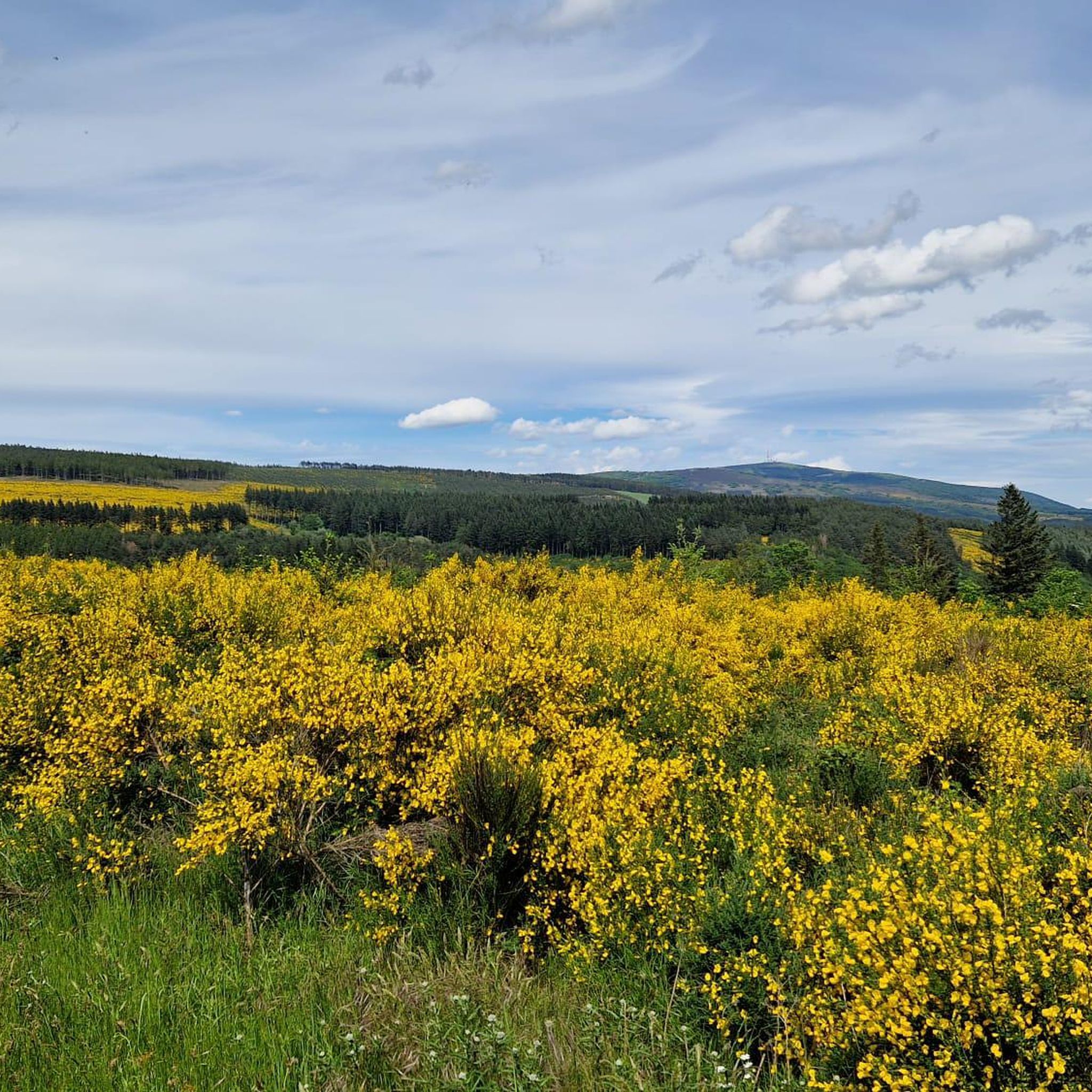
Hiking around Les Ilhes offers diverse terrain within the Montagne Noire foothills, characterized by successive ascents and descents. The landscape features a mix of vegetation, including broom, holm oak, and forests of pine, larch, spruce, and Douglas fir. The Orbiel river valley and remnants of ancient olive groves also contribute to the area's varied natural features. Dense woods of green oaks and conifers are prevalent, particularly on the Sambrès plateau.
Best hiking trails around Les Ilhes
- The most popular hiking…
Last updated: July 4, 2026
4.6
(81)
357
hikers
12.9km
04:05
520m
530m
Hike the moderate 8.0-mile Cascade de Cubserviès loop from Roquefère, featuring the highest waterfall in Aude and panoramic views.
4.4
(26)
81
hikers
6.47km
01:58
190m
200m
Moderate hike. Great for any fitness level. Mostly accessible paths. Sure-footedness required.

Sign up for free
4.6
(19)
85
hikers
5.76km
01:53
200m
200m
Moderate hike. Great for any fitness level. Mostly accessible paths. Sure-footedness required.
4.0
(6)
30
hikers
9.57km
03:08
390m
400m
Moderate hike. Good fitness required. Mostly accessible paths. Sure-footedness required.
5.0
(1)
29
hikers
18.5km
06:03
810m
810m
Hard hike. Very good fitness required. Easily-accessible paths. Suitable for all skill levels.
Get access to more routes and recommendations from other explorers.
Sign up for free
Already have an account?
Our route recommendations are based on thousands of hikes, rides, and runs completed by other people on komoot.
Start today with a free account
Your next adventure awaits.
Login or Signup

Tips from the Community

Beautiful view of the hilltop village of Cubserviès. You have to follow the road to reach the village, from where you can admire the highest waterfall in the Aude department.
1
0

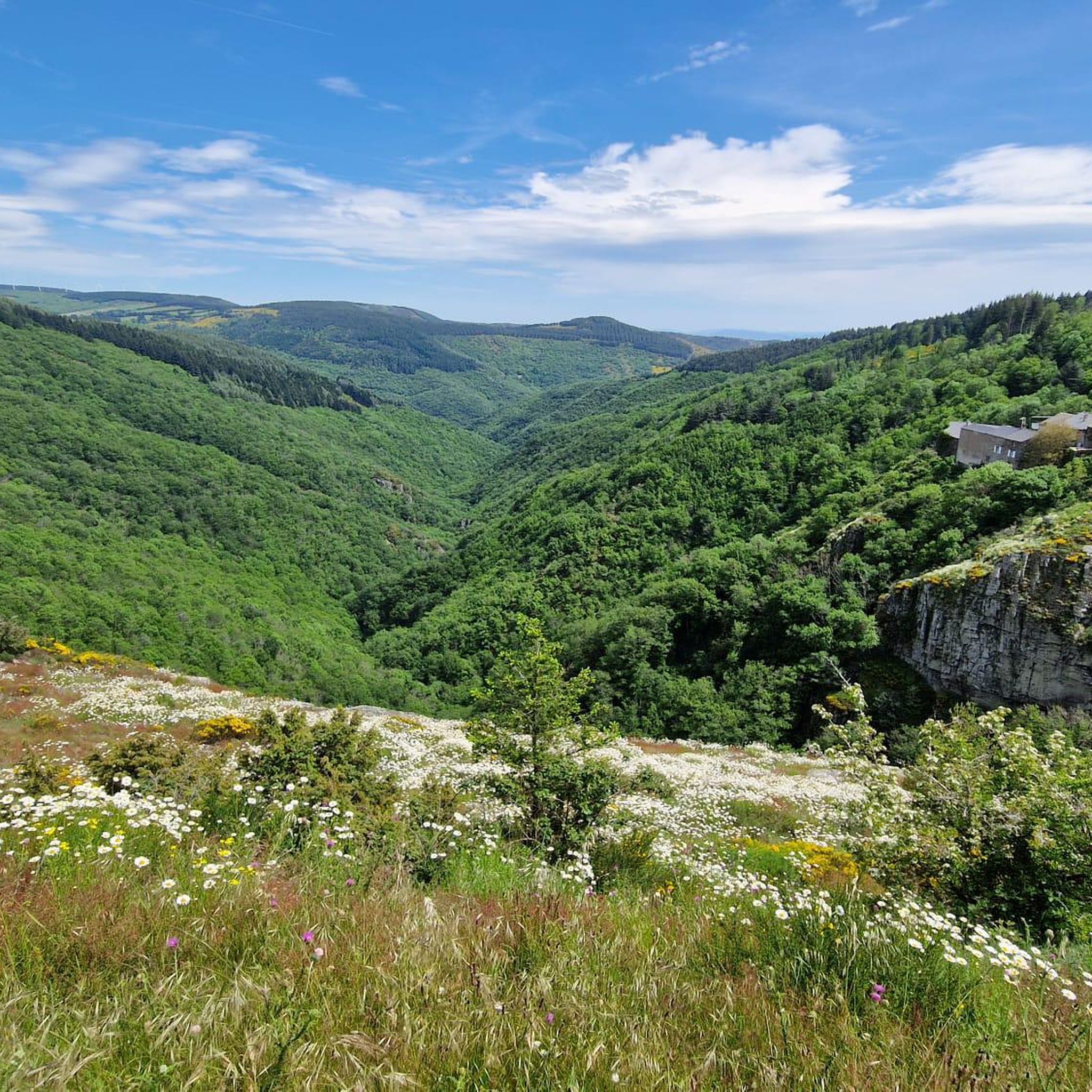
The Cubserviès waterfall is a true masterpiece of nature: the Sambrès plateau dominates this part of the Montagne Noire with its cover of conifers. It drains several streams that join together and form the Rieutort. The river then enters a fault in the rock to form the Cubserviès waterfall. It is made up of several projections and is nearly 90 meters high, making it the highest waterfall in the Aude department. Needless to say, there is no access to the foot of the waterfall as it is so deep. In fact, you should not approach it, it is much too dangerous! The part visible from the belvedere reaches 35 meters, for the greatest pleasure of your eyes!
1
0


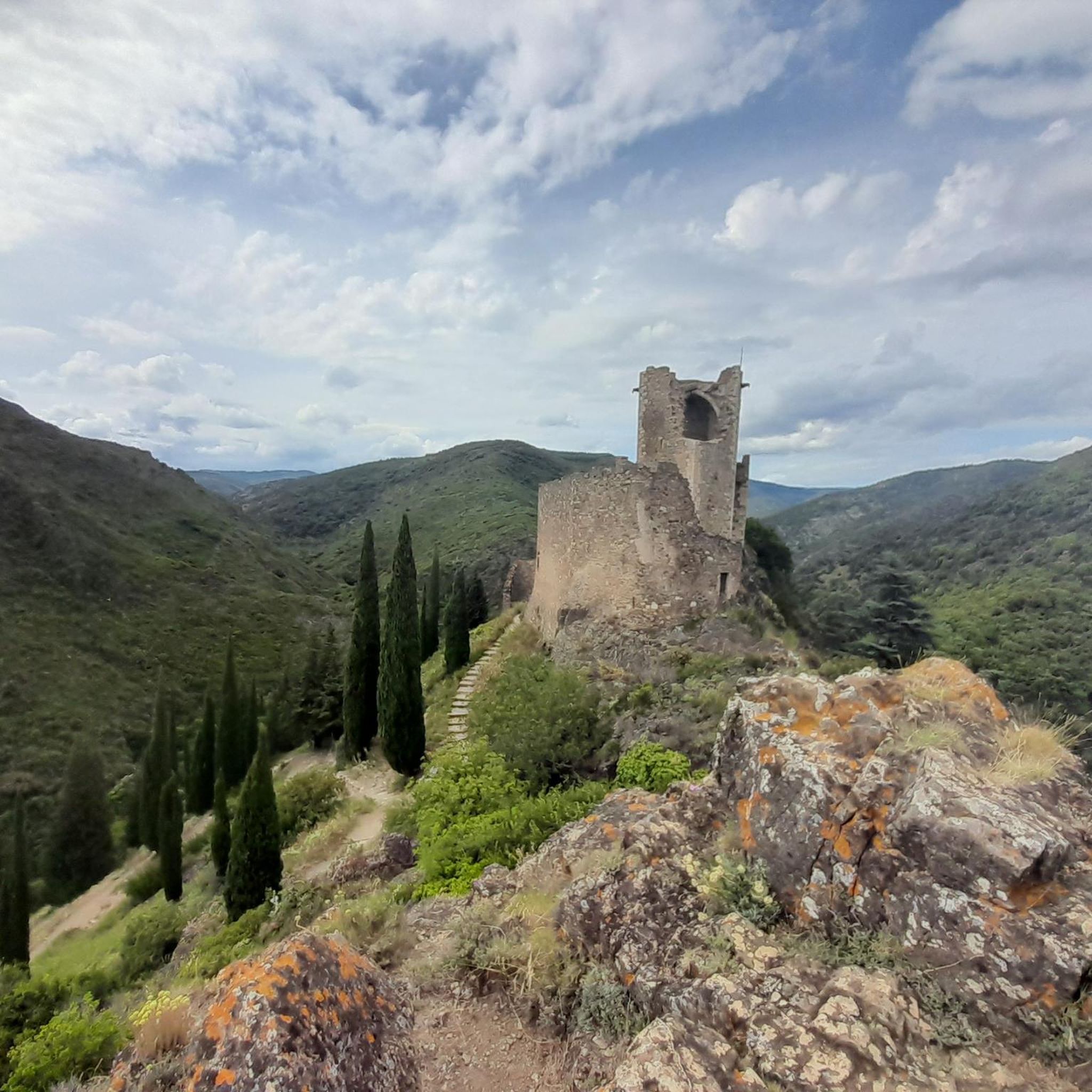
Occupied since the Bronze Age, the site of Lastours is a Mecca of Catharism. The fortresses date back to at least the 11th century, and if only ruins of the various castrums remain, the site steeped in history remains extremely impressive.
0
0
Belvedere offering an exceptional view of the remains of the castles of Lastours.
0
0
The hamlet of Cubserviès offers a magnificent view overlooking the waterfall.
1
0
On this trail, nature reclaims its rights on a site formerly developed by man.
1
0
The Ventajou ridge offers magnificent open views towards the south, up to the Pyrenees.
1
0
Frequently Asked Questions
What kind of terrain can I expect when hiking around Les Ilhes?
Hiking around Les Ilhes primarily involves the Montagne Noire foothills, characterized by successive ascents and descents. You'll encounter a diverse landscape with broom, holm oak, and forests of pine, larch, spruce, and Douglas fir. The Orbiel river valley and remnants of ancient olive groves also add to the varied natural features, with dense woods of green oaks and conifers prevalent on the Sambrès plateau.
Are there any waterfalls I can hike to in the Les Ilhes area?
Yes, the impressive Cascade de Cubserviès, the highest waterfall in the Aude department, is a notable natural feature. You can experience it by hiking the Cubserviès Waterfall Trail, an 8-mile (12.9 km) route that takes approximately 4 hours to complete. The waterfall itself is a highlight you can explore further at Cubserviès Waterfall.
What historical sites or landmarks can I see on a hike near Les Ilhes?
The region is rich in history. Many trails offer views of medieval structures, such as the Cathar castles. For example, the The sentinelles de l'Orbiel and the Quatre Châteaux – loop from Lastours provides excellent views of these historic fortifications. You can also explore highlights like the View of the Châteaux de Lastours from the Village or the Roquefère Castle.
Are there any easy, family-friendly walks around Les Ilhes?
While specific family-friendly routes aren't detailed in the guide, Les Ilhes offers 24 easy hiking routes. The region's diverse trails include shorter, more accessible options like "La Vallée des Oliviers" (The Valley of Olive Trees), a roughly 6 km loop from Les Ilhes-Cabardès, which is described as a beautiful Mediterranean hike suitable for a more relaxed outing.
What is the highest point I can reach on a hike in the Montagne Noire near Les Ilhes?
The highest point in the Montagne Noire is the Pic de Nore, standing at 1,211 meters. It offers beautiful views and varied nature, making it a popular destination for those seeking panoramic vistas. While not directly from Les Ilhes, it's a significant natural monument in the vicinity.
How many hiking routes are available in Les Ilhes?
There are over 100 hiking routes available around Les Ilhes, catering to various skill levels. This includes 24 easy routes, 68 moderate routes, and 14 difficult routes, ensuring options for everyone from casual walkers to experienced trekkers.
What do other hikers say about the trails in Les Ilhes?
The hiking trails in Les Ilhes are highly rated by the komoot community, with an average score of 4.4 stars from around 400 reviews. Hikers often praise the varied terrain, the mix of natural beauty and historical sites, and the well-marked paths that offer a peaceful experience away from crowds.
Are there any circular walks available near Les Ilhes?
Yes, many routes in the area are circular. For instance, the Tour Régine – Cabaret Castle loop from Lastours is a moderate 3.3-mile (5.4 km) circular trail that takes about 1 hour 48 minutes, leading through varied terrain near historical sites. Another option is the Cabaret Castle – Surdespine loop from Lastours, a 5.2 km moderate loop.
Can I find challenging, longer hikes in Les Ilhes?
Absolutely. For those seeking a more demanding experience, there are 14 difficult routes available. A notable challenging option is the Back to the village – La Tourette Cabardes loop from Mas-Cabardès, an 18.4 km route with significant elevation gain, typically taking around 6 hours and 30 minutes to complete.
What kind of natural features can I expect to see along the trails?
Beyond the Montagne Noire foothills, you'll encounter the scenic Orbiel river valley, ancient olive groves, and diverse forests of pine, larch, spruce, and Douglas fir. The region is also home to picturesque valleys and wooded areas, offering a wild and authentic environment. Don't miss the impressive Cubserviès Waterfall and viewpoints like Roc de l'Aigle.
Is there public transport available to reach hiking trailheads near Les Ilhes?
Information on specific public transport links directly to trailheads is limited. The region is known for its authentic, less-frequented areas, suggesting that personal transport might be more convenient for reaching some of the more remote starting points. It's advisable to check local transport schedules if relying on public options.
Most popular routes around Les Ilhes
Most popular attractions around Les Ilhes

Get inspired with the komoot mobile app


Explore more
Browse the best Hikes in other regions.
