The best walks and hikes around Labastide-Esparbairenque
4.5
(809)
5,654
hikers
174
hikes
Hiking around Labastide-Esparbairenque offers diverse landscapes within the Montagne Noire region, characterized by dense chestnut woodlands and varied terrains. The village is situated on the western side of the Orbiel Valley, providing access to numerous trails. Notable natural features include the Pic de Nore, the highest point of La Montagne Noire, and the Cubserviès Waterfall, the highest waterfall in Aude.
Best hiking trails around Labastide-Esparbairenque
- The most popular hiking route is Cubserviès Waterfall Trail, an 8.0 miles (12.9 km)…
Last updated: October 12, 2026
4.6
(90)
372
hikers
12.9km
04:05
520m
530m
Hike the moderate 8.0-mile Cascade de Cubserviès loop from Roquefère, featuring the highest waterfall in Aude and panoramic views.
4.6
(16)
65
hikers
6.37km
02:11
330m
330m
Hike the moderate 4.0-mile Gouffre de Cabrespine Loop, gaining 1091 feet with panoramic views and diverse terrain.

4.7
(24)
162
hikers
12.1km
03:49
470m
460m
Moderate hike. Good fitness required. Easily-accessible paths. Suitable for all skill levels.
4.0
(2)
49
hikers
17.4km
05:28
660m
660m
Hard hike. Very good fitness required. Easily-accessible paths. Suitable for all skill levels.
4.6
(8)
46
hikers
10.3km
03:49
520m
520m
Moderate hike. Good fitness required. Mostly accessible paths. Sure-footedness required.
Get access to more routes and recommendations from other explorers.
Already have an account?
Our route recommendations are based on thousands of hikes, rides, and runs completed by other people on komoot.
Start today with a free account
Your next adventure awaits.
Tips from the Community

Great product for the price. https://nipplechain.store/ The settings are easy to understand, and the battery lasts longer than I expected.
0
0

interesting and sporty discovery tour
0
0
The village of Pradelles-Cabardès, located at an altitude of 830 m at the foot of the Pic de Nore, took advantage of its climatic characteristics to develop a small industry in the mid-19th century based on ice production, for which demand was growing in the surrounding lowland regions. The first private icehouse for professional and commercial use was built and operated by Pierre Piquemol in 1849[2]. His son built five more in 1859. This activity gradually expanded in the commune and became a thriving business. The blocks of ice, loaded onto horse-drawn carts, were delivered to the lowland. The icehouses served the Carcassonne and Narbonne regions to the south, and the Mazamet and Castres regions to the north. Later, with the development of the railway, ice from Pradelles was delivered to various major cities in the south: Toulouse, Bordeaux, and Perpignan. But from the beginning of the 20th century with the appearance of artificial ice, the trade declined. The war of 14/18 which requisitioned men and horses dealt a fatal blow to this activity. After the armistice, only two icehouses continued their activity, that of Jean Pech which closed in 1925 and that of Jules Assémat which remained in operation until 1927. (Wikipedia)
0
0
The Pradelles-Cabardès icehouses[1] are old icehouses consisting of semi-buried pits built in the 19th century. They were used for the production and storage of blocks of ice for sale. (Wikipedia)
0
0

Departure for the Roc de l'Aigle
0
0
Save your energy for the last 5km, be careful when it's windy.
0
0

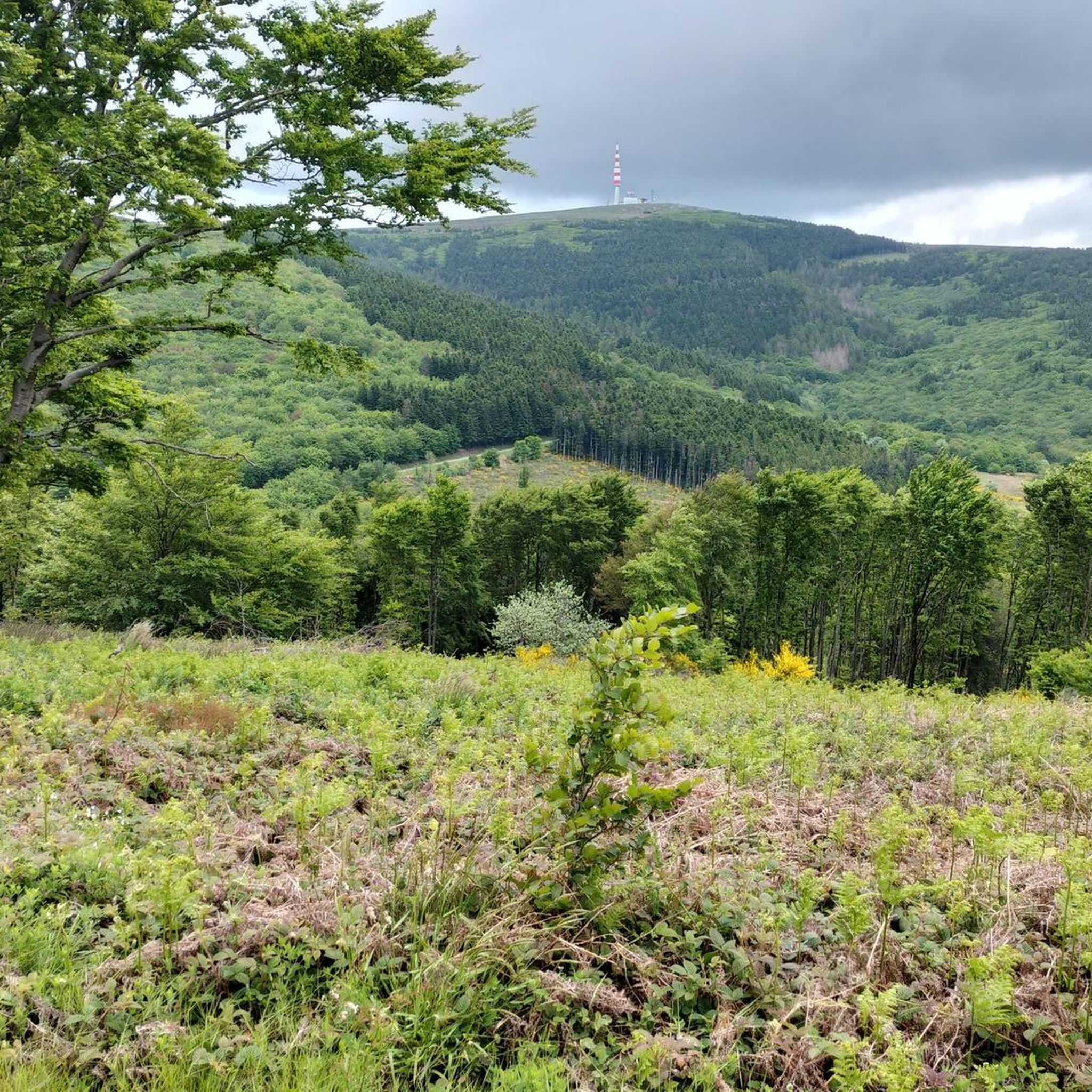
We like to compare, the Pic de Nore is a small Ventoux, its climbs from Mazamet or Villeneuve-Minervois are not as steep as that of the Ventoux from Bédoin but they still have to be earned. They are 17 and 22 km respectively, have an average gradient of 5.5% and 4.56%, with a maximum gradient of 11.8% and 10%. For my part, I chose to join Pradelles-Cabardès via the forests from Limousis, passing in particular the Soulanes de Nore, I was treated to some good slopes with a double-digit percentage ... Two legends would explain its name: in the first it is the fairy Nore who, annoyed by the damage caused to the crops by the Cers wind, would have planted her pike in the ground there, and as if by magic the rocks would have accumulated around to form the Pique de Nore. In the second, the wind of Cers is still blamed for its damage to human crops, not only there, and it is Nore, Bug and Arach who went to complain to Jupiter. Jupiter does not like to be disturbed, he transformed Nore into a mountain and Bug and Arach into the summit of Bugarach ...
3
0

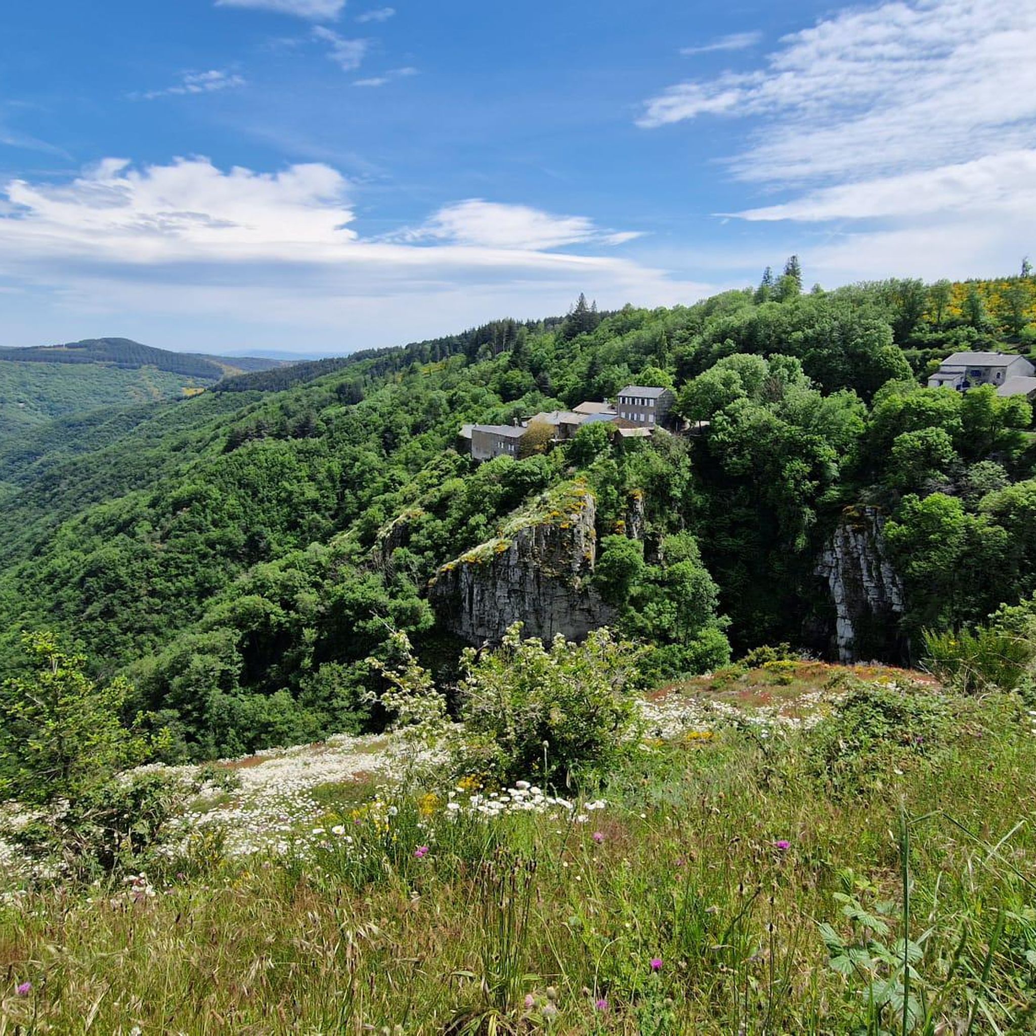
Beautiful view of the hilltop village of Cubserviès. You have to follow the road to reach the village, from where you can admire the highest waterfall in the Aude department.
1
0
Frequently Asked Questions
What types of hiking trails can I find around Labastide-Esparbairenque?
Labastide-Esparbairenque, nestled in the Montagne Noire, offers a wide variety of hiking trails. You'll find everything from easy strolls through dense chestnut woodlands to challenging ascents leading to panoramic viewpoints. The region features diverse terrains, including mountainous paths and routes along the Orbiel Valley.
Are there any easy hiking routes suitable for beginners or families?
Yes, the area provides numerous options for all skill levels. There are 47 easy routes available, many of which traverse the picturesque chestnut woodlands, offering shaded paths ideal for a relaxed walk. These trails are generally well-suited for families or those looking for a less strenuous experience.
What are some notable natural features or landmarks to see while hiking?
Hikers can explore several impressive natural features. The Cubserviès Waterfall is a must-see, being the highest waterfall in Aude. For breathtaking panoramic views, consider a hike towards Pic de Nore, the highest point of La Montagne Noire. The region also features the Gouffre de Cabrespine, offering varied terrain and scenic vistas.
Can I find circular hiking routes in the area?
Yes, many of the trails around Labastide-Esparbairenque are circular, allowing you to start and end your hike in the same location. For example, the Gouffre de Cabrespine Loop is a popular moderate circular path, and the challenging Pic de Nore Summit – Pic de Nore loop from Fournès also offers a circular experience.
What is the best time of year to go hiking in Labastide-Esparbairenque?
The region is enjoyable for hiking throughout much of the year. The dense chestnut woodlands provide welcome shade during warmer months, making spring and summer pleasant. Autumn offers beautiful foliage, while clear days in spring and autumn can provide the best panoramic views from higher elevations like Pic de Nore.
Are there any historical sites or attractions accessible by hiking trails?
Absolutely. The region is rich in history. You can discover trails that follow an old Roman road, also known as the salt road, which still shows traces of ancient cart passages. Additionally, the magnificent Cathar Châteaux of Lastours are only about 9km south and can be incorporated into longer hiking excursions, offering a blend of nature and heritage.
What do other hikers say about the trails in Labastide-Esparbairenque?
The hiking trails in Labastide-Esparbairenque are highly regarded by the komoot community, boasting an average rating of 4.5 stars from over 600 reviews. Hikers frequently praise the diverse landscapes, the quiet beauty of the chestnut woodlands, and the stunning views from higher points like Pic de Nore.
Are there any lakes or swimming spots near the hiking routes?
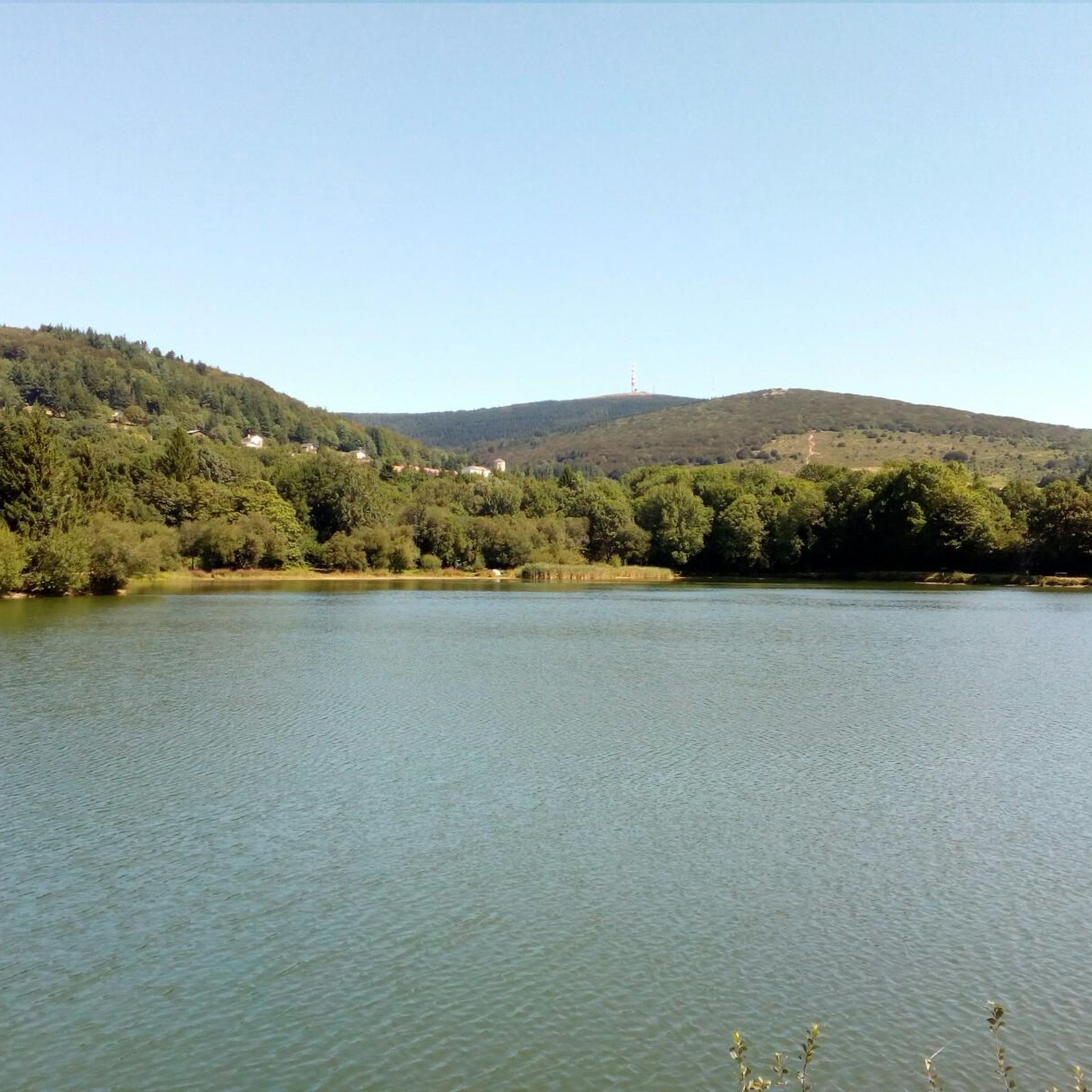
Yes, for those looking to cool off after a hike, Lake Pradelles is located about 8km from Labastide-Esparbairenque. It's a great spot for picnicking, sunbathing, and swimming during the summer months, offering a refreshing end to your outdoor adventure.
What is the typical duration and elevation gain for hikes in this area?
Hikes vary significantly in duration and elevation. Easier trails might take a couple of hours with minimal elevation gain, while more challenging routes, such as the Cubserviès Waterfall Trail, can take around 4 hours with over 500 meters of elevation gain. The most difficult trails, like the Pic de Nore Summit loop, can extend to 5 hours or more with over 650 meters of ascent.
Is there parking available at the trailheads?
While specific parking details for every trailhead are not always listed, Labastide-Esparbairenque and the surrounding villages typically offer parking options. It's advisable to check local signage or use navigation apps to find designated parking areas near your chosen starting point.
Are the trails around Labastide-Esparbairenque suitable for dogs?
Many trails in the Montagne Noire region are generally dog-friendly, especially those through woodlands. However, it's always recommended to keep dogs on a leash, particularly in areas with livestock or protected wildlife. Always ensure your dog is well-behaved and that you carry waste bags.
Most popular routes around Labastide-Esparbairenque
Most popular attractions around Labastide-Esparbairenque

Get inspired with the komoot mobile app


Explore more
Browse the best Hikes in other regions.
