The best walks and hikes around Isle-Et-Bardais
4.5
(149)
742
hikers
23
hikes
Hiking around Isle-Et-Bardais offers access to a diverse network of trails within the Allier department of the Auvergne-Rhône-Alpes region. The area features varied terrain, including extensive woodlands and prominent natural ponds. This region provides a range of routes suitable for different fitness levels, from easy walks to more challenging hikes.
Best hiking trails around Isle-Et-Bardais
- The most popular hiking route is Fontaine de Viljot and étang de Pirot — loop in the Tronçais forest, an 8.2 miles (13.2 km) trail that takes 3 hours 28 minutes to complete. This moderate route explores the notable Tronçais Forest and features the Etang de Pirot.
- Another top favourite among local hikers is Pirot Pond loop from Isle-et-Bardais, an easy 4.8 miles (7.7 km) path. This trail offers a gentle walk around the prominent Etang de Pirot, starting directly from Isle-et-Bardais.
- Local hikers also love the 157 – 153 loop from Isle-et-Bardais, a 6.1 miles (9.8 km) trail leading through local woodlands, often completed in about 2 hours 34 minutes. This moderate route provides a good exploration of the immediate surroundings of Isle-et-Bardais.
- Hiking around Isle-Et-Bardais is defined by dense woodlands, tranquil ponds, and varied terrain. The network offers options for different ability levels, from easy strolls to moderate excursions.
- The routes in Isle-Et-Bardais are highly rated by the komoot community with an average score of 4.7 stars from over 130 reviews. More than 600 hikers have used komoot to explore Isle-Et-Bardais's varied terrain.
Last updated: August 26, 2026
4.5
(11)
30
hikers
13.2km
03:28
110m
110m
Moderate hike. Good fitness required. Mostly accessible paths. Sure-footedness required.
4.3
(12)
66
hikers
7.78km
02:00
30m
30m
Easy hike. Great for any fitness level. Easily-accessible paths. Suitable for all skill levels.

Sign up for free
4.6
(10)
26
hikers
Moderate hike. Good fitness required. Easily-accessible paths. Suitable for all skill levels.
6
hikers
7.22km
01:54
60m
60m
Easy hike. Great for any fitness level. Easily-accessible paths. Suitable for all skill levels.
4.0
(2)
9
hikers
3.53km
00:57
40m
40m
Easy hike. Great for any fitness level. Easily-accessible paths. Suitable for all skill levels.
Get access to more routes and recommendations from other explorers.
Sign up for free
Already have an account?
Our route recommendations are based on thousands of hikes, rides, and runs completed by other people on komoot.
Start today with a free account
Your next adventure awaits.
Login or Signup

Tips from the Community

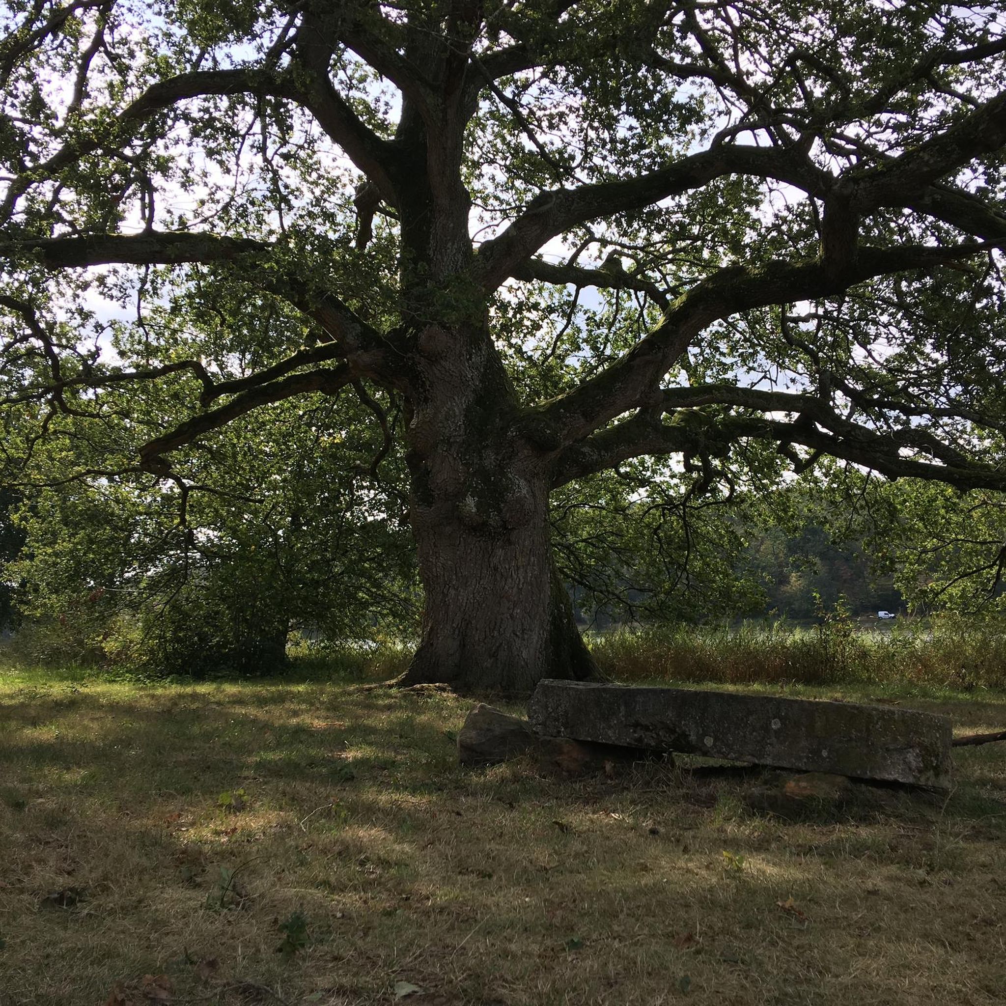
Now part of the Collection https://www.komoot.com/de-de/collection/3600632/-naturdenkmaeler-besondere-baeume-und-weitere-schaetze-der-natur
0
0

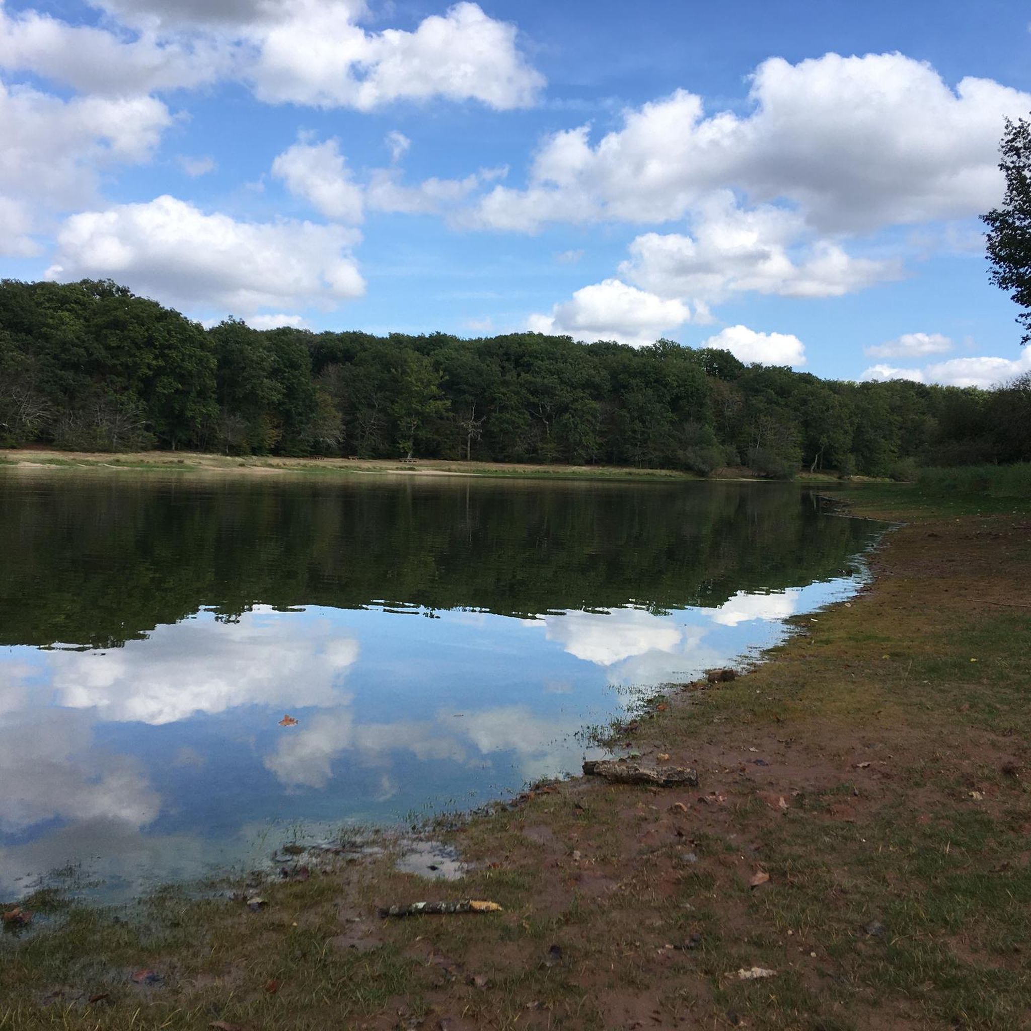
Beautiful pond. Ideal for relaxing
1
0

Beautiful route, some paths are blocked at the beginning. In wet weather the small paths are very boggy
0
0

This 12 hectare pond was created by Nicolas Rambourg, a famous ironmaster, at the beginning of the 19th century. It offers a beautiful view of the water and the surrounding trees. You can run around the pond on a well-marked path and admire the Futaie Colbert, a grove of hundred-year-old oaks dating from the reign of Louis XIV. Some of these oaks are more than 300 years old and bear names such as the oak of Saint-Louis, the oak of the Resistance or the oak of Sterbing.
2
0
This 12-hectare pond was created by Nicolas Rambourg, a famous ironmaster, at the beginning of the 19th century. It offers a beautiful view of the water and the surrounding trees. You can walk around the pond on a well-marked path and admire the Futaie Colbert, a grove of hundred-year-old oaks dating from the reign of Louis XIV. Some of these oaks are over 300 years old and have names such as the Saint-Louis oak, the Resistance oak and the Sterbing oak. Morat pond is private property, but is open to the public for hiking and fishing. You can enjoy this peaceful and historic place in any season, but especially in autumn, when the leaves turn gold and red. The Murten pond is an ideal destination for a relaxing and refreshing hike in nature.
2
0
This magical and mysterious place in the Tronçais forest is a circular fountain surrounded by legends and stories, some of which date back to Gallo-Roman times. You can admire the inscription "The foresters at Velleda" on the edge of the fountain, in homage to the Germanic druidess who was venerated as the goddess of the forest. You can also try your luck by throwing a coin or a pin into the water, as some traditions say this will allow you to make a wish or get married. And if you're brave enough, you can visit the fountain at midnight on Christmas Eve, where some say you can hear the bells and moans of buried monks who have been punished for their sins.
3
1
The Étang de Pirot is an artificial lake created in 1846 to supply water to the Canal de Berry, a historic waterway that linked the Loire and the Cher. The pond covers an area of 78 hectares and is surrounded by the Tronçais forest, one of the largest oak forests in Europe. You can enjoy the view of the water, trees and wildlife as you walk along the shore or explore the two arms of the lake: the Cros-Chaud and the Guèrande. The Etang de Pirot is an ideal destination for a peaceful and refreshing hike in all seasons.
2
0
If you are looking for a relaxing and scenic hike in the heart of the forest, you can try the Informative Trail at the Étang de Saint-Bonnet-Tronçais. You will appreciate the calm waters of the pond and the majestic trees that border it, as well as the sound of the streams that feed it. The trail is also accessible to people with reduced mobility for 1 km and allows you to observe and listen to birds. You will also be able to discover artistic works that protect trees and reflect on the notion of cycle, time and craftsmanship. This hike is suitable for all levels.
3
0
Frequently Asked Questions
How many hiking trails are available around Isle-Et-Bardais?
There are over 20 hiking routes around Isle-Et-Bardais, offering a diverse network of trails. These include 11 easy routes, 12 moderate routes, and 1 difficult route, catering to various fitness levels.
Are there any easy, family-friendly hikes in Isle-Et-Bardais?
Yes, Isle-Et-Bardais offers several easy routes suitable for families. A popular option is the Pirot Pond loop from Isle-et-Bardais, an easy 7.7 km path that provides a gentle walk around the prominent Etang de Pirot. Another easy choice is the Pilz – The Sentinel loop from Rond de Richebourg, which is 3.5 km long.
What kind of terrain can I expect on hikes around Isle-Et-Bardais?
Hikes around Isle-Et-Bardais feature varied terrain, primarily defined by dense woodlands, tranquil ponds, and some gentle elevation changes. The nearby Forest of Tronçais, for example, offers extensive forest paths, while routes like the Fontaine de Viljot and étang de Pirot loop combine forest exploration with lakeside views.
Are there any circular walks in the Isle-Et-Bardais region?
Yes, many routes in the Isle-Et-Bardais region are circular, allowing you to start and end at the same point. Examples include the Fontaine de Viljot and étang de Pirot loop in the Tronçais forest, the Pirot Pond loop from Isle-et-Bardais, and the 157 – 153 loop from Isle-et-Bardais.
What natural attractions can I see along the hiking trails?
The region is rich in natural features. You can explore prominent bodies of water like Pirot Pond, Morat Pond, and Saint-Bonnet-Tronçais Pond. The Oak of the Resistance is another notable natural monument you might encounter.
What do other hikers say about the trails in Isle-Et-Bardais?
The hiking routes in Isle-Et-Bardais are highly rated by the komoot community, with an average score of 4.7 stars from over 130 reviews. Hikers often praise the quiet woodlands, the tranquil ponds, and the well-maintained paths that offer a pleasant outdoor experience.
Are there any longer or more challenging hikes available?
While most trails are easy to moderate, there is at least one difficult route for experienced hikers. For moderate, longer options, consider the Saint-Bonnet-Tronçais Pond – Oak of the Resistance loop from Rond de Richebourg, which covers nearly 15 km.
Is there public transport access to the hiking areas around Isle-Et-Bardais?
Information regarding specific public transport links directly to trailheads in Isle-Et-Bardais is limited. It is generally recommended to use a car to access many of the hiking starting points, especially those deeper within the Tronçais Forest. For local transport options, checking with the Montluçon tourist office might provide more details.
Are there dedicated picnic areas along the trails?
Yes, the region is known to have dedicated picnic areas along some routes, enhancing the experience for visitors. These spots provide convenient places to rest and enjoy the natural surroundings during your hike.
Can I download trail maps or GPX files for navigation?
Yes, many of the walking and hiking itineraries in the Isle-Et-Bardais region are available for download in PDF or GPX format. This makes planning and navigating your hikes straightforward, ensuring you can follow the trails easily.
Are there any historical or cultural routes in the area?
For those interested in longer, historically significant routes, Isle-Et-Bardais is part of ancient pilgrim walks. Sections of the Via Lemovicensis, also known as the "Voie de Vézelay," which is part of the "First Cultural Route of Europe," pass through or near the area, offering a blend of outdoor activity and cultural exploration.
Where can I find more information about outdoor activities in the wider Montluçon region?
For broader information on walks and hikes in the Montluçon region, you can visit the Montluçon Tourist Office website: montlucon-tourisme.com. They also highlight specific circuits like the Circuit des Prés Laugers.
Most popular attractions around Isle-Et-Bardais

Get inspired with the komoot mobile app


Explore more
Browse the best Hikes in other regions.
