The best cycling routes around Jou-Sous-Monjou
4.6
(23)
385
riders
47
rides
Touring cycling routes around Jou-Sous-Monjou are set within the Cantal department of the Auvergne-Rhône-Alpes region, characterized by its varied terrain. The area, with an average altitude of 896 meters and elevations up to 1056 meters, is part of Europe's largest volcano, at the foot of Puy Mary. This volcanic heritage provides unique and scenic cycling routes through verdant landscapes, including the Goul and Cère valleys.
Best touring cycling routes around Jou-Sous-Monjou
- The most popular touring cycling route is Pas de…
Last updated: October 16, 2026
26
riders
74.0km
05:12
1,440m
1,440m
Hard bike ride. Very good fitness required. Mostly paved surfaces. Suitable for all skill levels.
5.0
(1)
38
riders
70.1km
05:26
1,890m
1,890m
Hard bike ride. Very good fitness required. Mostly paved surfaces. Suitable for all skill levels.

4.0
(1)
10
riders
36.1km
02:45
900m
900m
Hard bike ride. Very good fitness required. Mostly paved surfaces. Suitable for all skill levels.
23
riders
54.0km
03:51
1,060m
1,070m
Hard bike ride. Very good fitness required. Mostly paved surfaces. Suitable for all skill levels.
4.0
(2)
16
riders
18.8km
01:26
460m
460m
Hard bike ride. Very good fitness required. Mostly paved surfaces. Suitable for all skill levels.
Get access to more routes and recommendations from other explorers.
Already have an account?
Our route recommendations are based on thousands of hikes, rides, and runs completed by other people on komoot.
Start today with a free account
Your next adventure awaits.
Tips from the Community

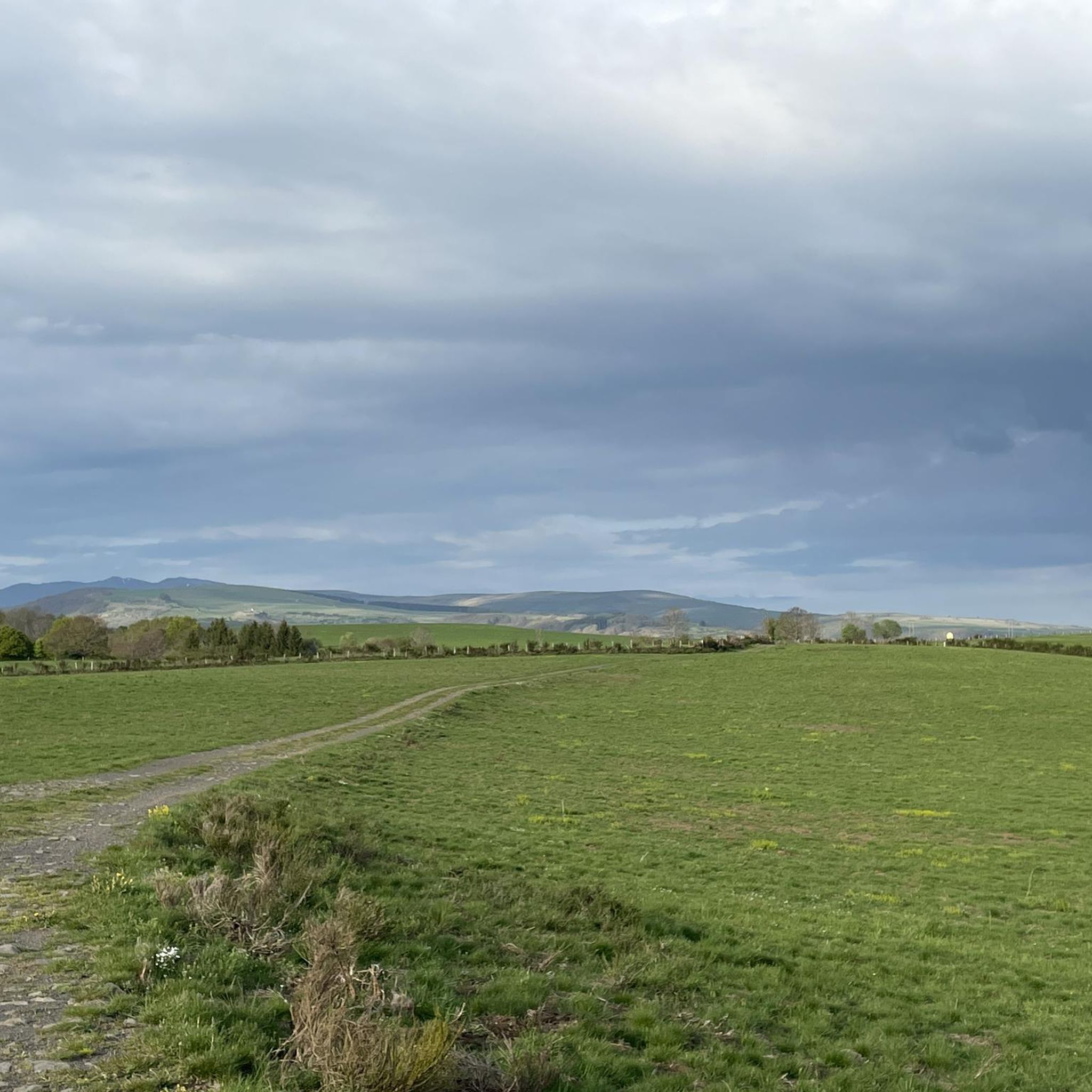
Very difficult pass on the Mandailles side. The average gradient is not representative because there is a small descent two-thirds of the way up, after a 500m section at 12%.
0
0

It's Curebourse and not Curbousse
0
0

Small entrance fee (2024): Adult 4.00 EUR Child 1.50 EUR Set price group adults 3.50 EUR Set price group children 1.00 EUR
0
0

The Jordanne Valley is a lush green valley that was formed as a glacial valley of the Puy Mary. A path through the dense greenery runs through the Jordanne Gorge, stretching for more than 3 km between the communities of Saint-Julien and Saint-Cirgues. A path with small footbridges and bridges allows visitors to discover this beautiful place and takes them deep into the gorge. There is a fee to enter.
1
0

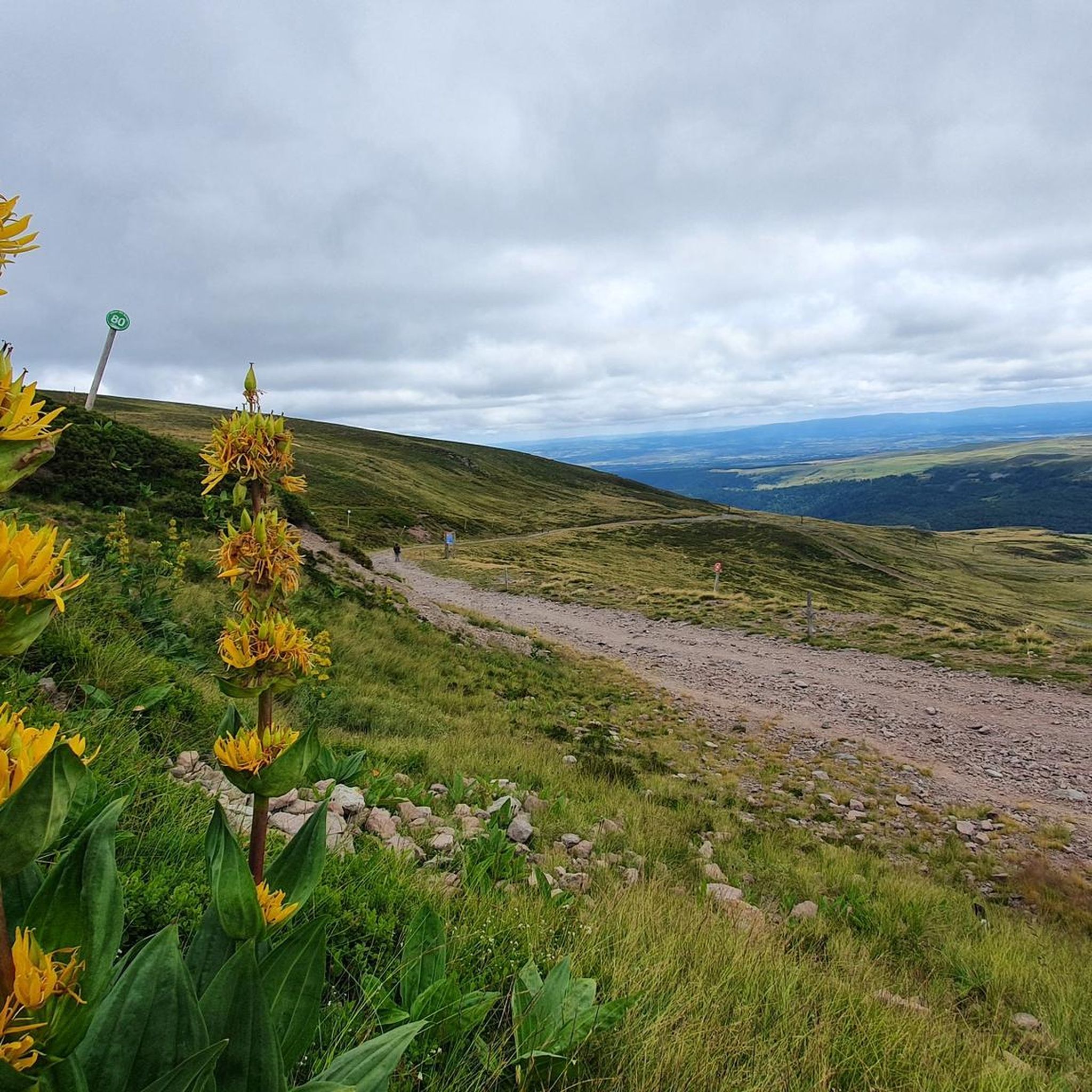
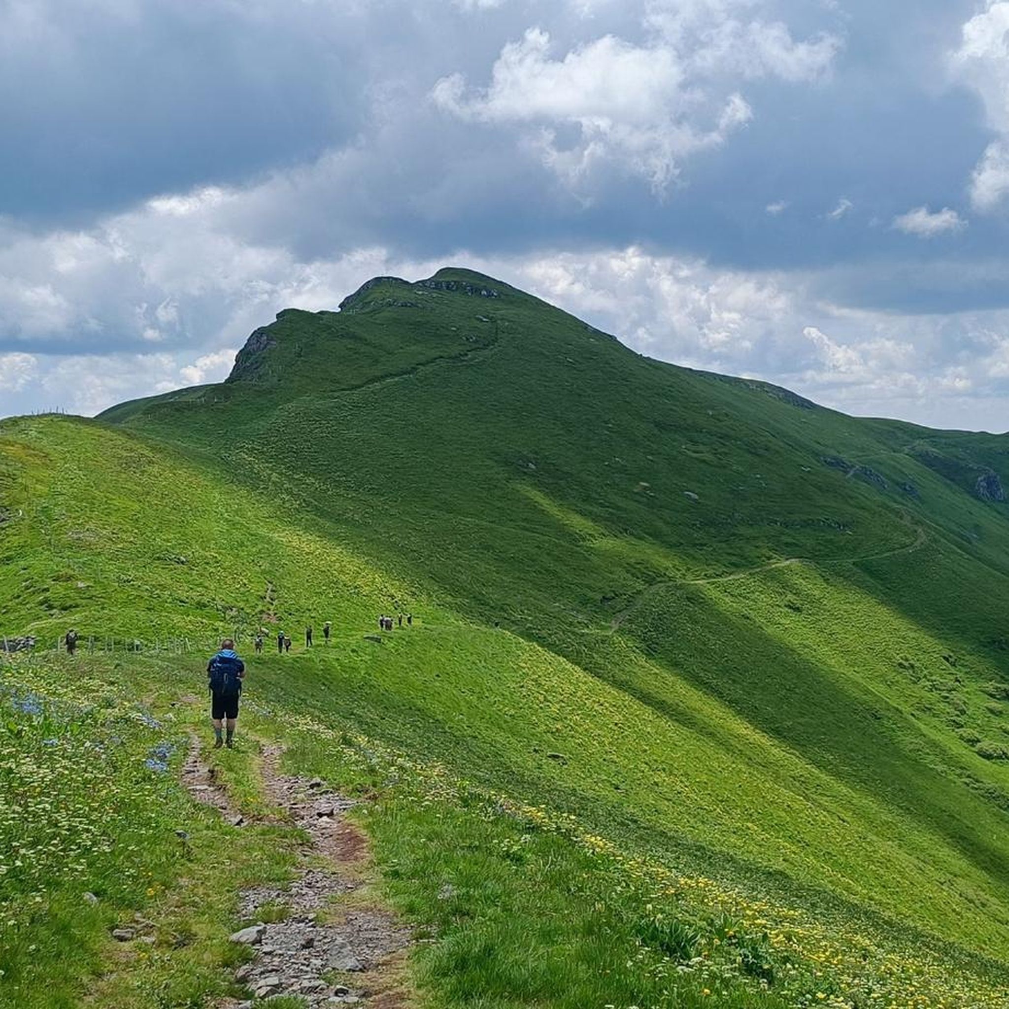
At an altitude of 1,588 meters, the Pas de Peyrol is located between the Puy Mary and the Puy de la Tourte. It is known to be the highest road pass in the Massif Central and is worth it, because the last few kilometers have high percentages. There you can admire Puy Mary which peaks at an altitude of 1,783 metres. It is one of the peaks of the Cantal mountains. It is easily recognizable with its pyramidal silhouette.
1
0

Located in the heart of the Jordanne valley, Lac des Graves displays an exceptional and preserved setting. It's an ideal place for a walk or nap by the water!
0
0


Superb climb from Saint-Julien de Jordanne.
0
0
Frequently Asked Questions
How many touring cycling routes are available around Jou-Sous-Monjou?
There are nearly 50 touring cycling routes documented on komoot around Jou-Sous-Monjou. These routes cater to various skill levels, from easy tracks to challenging mountain passes, exploring the diverse volcanic landscapes and river valleys of the Cantal department.
What kind of terrain can I expect on touring cycling routes in Jou-Sous-Monjou?
The terrain around Jou-Sous-Monjou is highly varied, reflecting its location within Europe's largest volcano and at the foot of Puy Mary. You'll encounter quiet country lanes, verdant valleys like the Goul and Cère, and significant climbs through the Monts du Cantal. Elevations range from 694 to 1056 meters, offering both gentle slopes and demanding ascents.
Are there any easy touring cycling routes suitable for beginners or families?
While many routes in the area are classified as difficult, there is at least one easy touring cycling route available. Additionally, 11 moderate routes offer a less strenuous option. The region's 'easy tracks and quiet country lanes' in the Auvergne Volcanoes Regional Park are generally more suitable for families or those seeking a relaxed ride.
What do other cyclists say about touring cycling in Jou-Sous-Monjou?
The touring cycling routes around Jou-Sous-Monjou are highly rated by the komoot community, with an average score of 4.5 stars from over 15 reviews. More than 300 touring cyclists have explored the area using komoot, often praising the unique volcanic landscapes, scenic river valleys, and the challenge of the mountain panoramas.
Can I find circular touring cycling routes in the area?
Yes, many of the touring cycling routes around Jou-Sous-Monjou are designed as loops, allowing you to start and end your journey in the same location. For example, the challenging Pertus Pass (1,309 m) – Mandailles loop from Vic-sur-Cère offers a comprehensive exploration of mountain terrain and valleys.
What are some scenic viewpoints or natural attractions I can visit by bike?
The region offers numerous scenic viewpoints and natural attractions accessible by bike. You can ascend Monjou Butte for a superb panorama of the Cantal mountains. Other notable natural sites include the Roucole Waterfall, the Pas de Cère Gorges, and the Hangman's Rock. The Coyan Plateau - Saint-Curial Rock also provides rewarding views.
Are there any historical sites or charming villages to explore on a touring bike?
Absolutely. The routes often pass through traditional Auvergne villages and near historical sites. You could cycle past Cropières Castle on a loop from Pailherols. The picturesque village of Tournemire, famous for the Château de Anjony, and Salers, ranked as one of France's 'most beautiful villages,' are also within cycling distance from Jou-Sous-Monjou.
What is the best time of year for touring cycling in Jou-Sous-Monjou?
The best time to cycle in the Cantal mountains and around Jou-Sous-Monjou is generally during the warmer months, from spring through early autumn. This period offers more favorable weather conditions for exploring the varied terrain, including higher mountain passes. Spring brings verdant landscapes, while autumn showcases beautiful fall colors.
Where can I find challenging long-distance touring cycling routes?
For challenging long-distance rides, the region offers several options with significant elevation changes. A popular choice is the Pas de Peyrol Pass (1,589 m) – Pertus Pass loop from Vic-sur-Cère, a difficult 70.2 km trail featuring substantial climbs through the Monts du Cantal. Another demanding route is the Start: Vic-sur-Cère – Col de Curbousse (997 m) loop from Vic-sur-Cère, covering over 66 km.
Are there any routes that pass by castles?
Yes, you can incorporate castles into your touring cycling itinerary. The Pesteils Castle – Vixouze Castle loop from Vic-sur-Cère is a route that allows you to cycle past two notable castles in the area, offering a blend of scenic riding and historical exploration.
Most popular attractions around Jou-Sous-Monjou

Get inspired with the komoot mobile app


Explore more
Browse the best Cycling routes in other regions.
