The best running trails around Villnachern
4.5
(410)
11,053
runners
444
runs
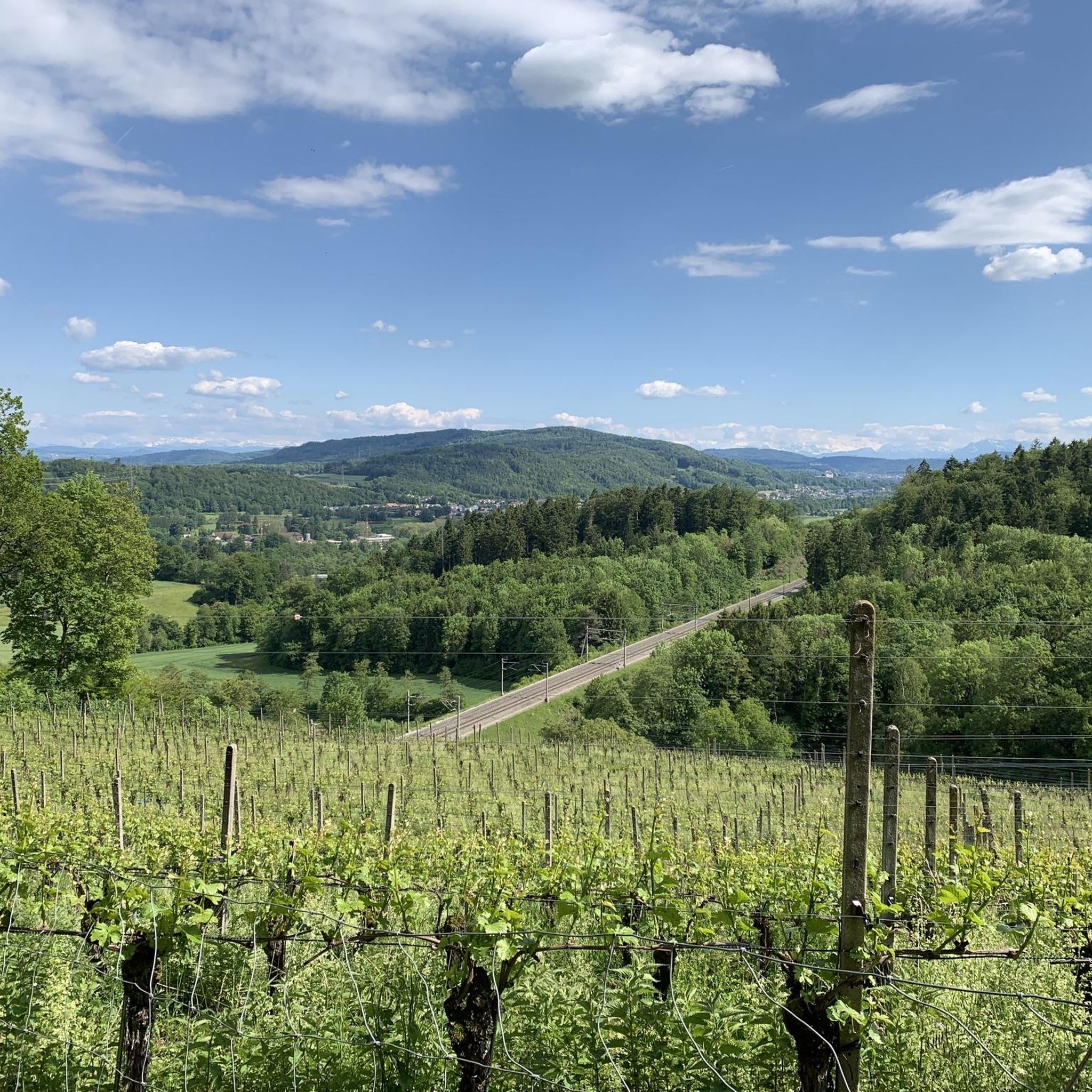
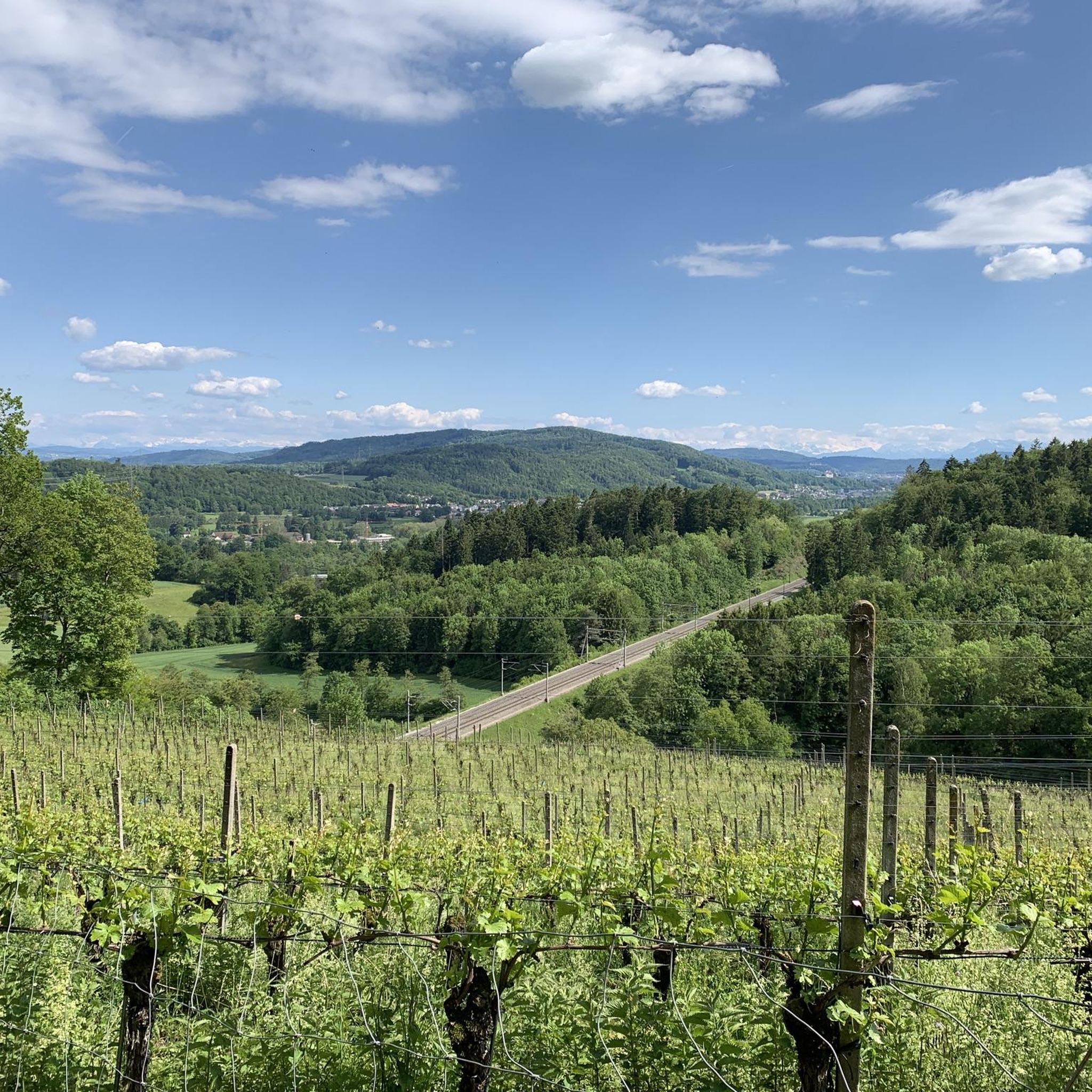
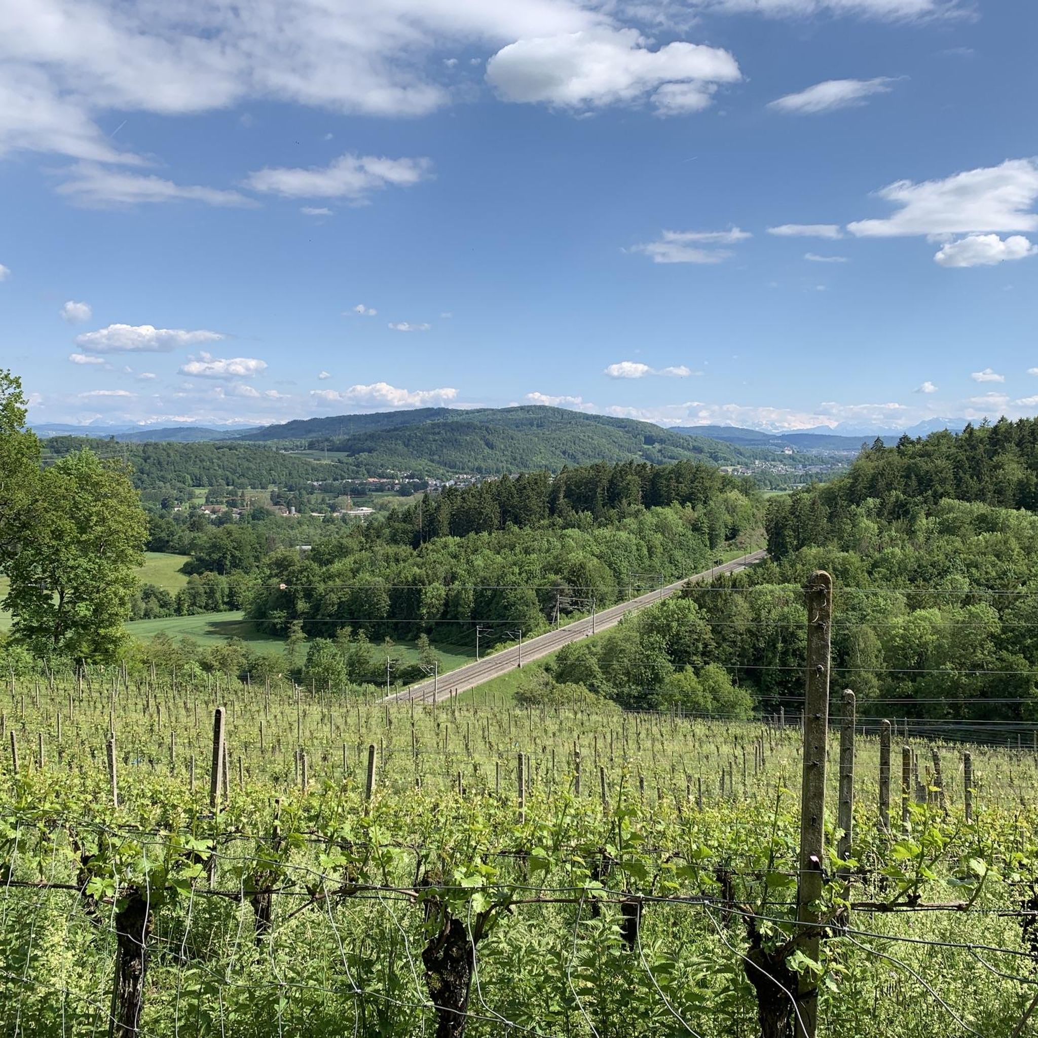
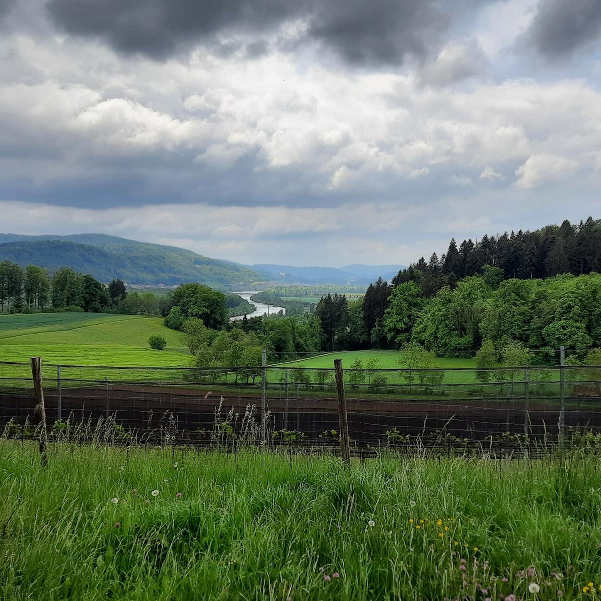
Jogging routes around Villnachern are characterized by the confluence of the Aare and Reuss rivers, offering numerous trails along their banks. The region features a mix of flat riverine paths and forested areas with gentle hills, providing varied terrain for runners. These natural landscapes include slight elevation changes, making it suitable for different fitness levels. The trails often incorporate natural landmarks and scenic views of the surrounding Aargau region.
Best jogging routes around Villnachern
- The most popular jogging route is…
Last updated: October 14, 2026
4.6
(7)
168
runners
10.8km
01:12
150m
150m
Moderate run. Good fitness required. Mostly paved surfaces. Suitable for all skill levels.
3.7
(3)
39
runners
12.6km
01:31
270m
270m
Moderate run. Good fitness required. Mostly paved surfaces. Suitable for all skill levels.

4.7
(3)
37
runners
7.15km
00:48
110m
110m
Moderate run. Good fitness required. Mostly paved surfaces. Suitable for all skill levels.
4.0
(1)
18
runners
Moderate run. Good fitness required. Mostly paved surfaces. Suitable for all skill levels.
15
runners
9.68km
01:01
50m
50m
Moderate run. Good fitness required. Mostly paved surfaces. Suitable for all skill levels.
Get access to more routes and recommendations from other explorers.
Already have an account?
Our route recommendations are based on thousands of hikes, rides, and runs completed by other people on komoot.
Start today with a free account
Your next adventure awaits.

Tips from the Community

The flora and fauna of the Aare floodplain can be experienced and observed up close here. The large fish on the banks of the Aare are also clearly visible through the crystal-clear water. This stretch between Brugg and Schinznach Bad is indeed something special.
0
0
A beautiful sight of the Aare's falling water masses. Very impressive at high water levels. It's always nice to stop here and observe this spectacle of the water masses.
0
0
Another option for a transition.
0
0
A very interesting architectural solution. This suspended walkway was built beneath the railway bridge, intended for pedestrians and cyclists.
1
0
The Müllimatsteg bridge is truly an architectural highlight! Especially at night, when it's illuminated, it's clear how much thought the architects put into the lighting. For me, it's an absolute highlight. When you walk across the bridge, you can feel the vibrations of the bridge, whether someone is jogging or running at the other end. From the bridge, you have a beautiful view of the Casino Bridge and the Aare. Many hiking trails run along both banks of the Aare, some nice and wide and easy, others winding and root-filled, directly along the banks through the protected areas. You can also find a few barbecue grills on the military island. A popular excursion and recreation destination. Have fun!
1
0
For several years now, some fields near rivers in Aargau have been planted with rice. This is one of them. The frogs are enjoying it, too. Water snakes. Ducks... Stop and watch.
1
0

The Black Tower is Brugg's proud landmark—imposing, mysterious, and steeped in history. Built in the 12th century to protect the Aare Bridge, it later even served as a prison. With its thick walls, its bay window overlooking the river, and the Roman stones in its foundation, it speaks of power, change, and centuries of city history—a silent sentinel at the entrance to the old town.
9
0

A charming hike, the atmosphere of the landscape is captured
2
0
Frequently Asked Questions
What kind of terrain can I expect on running routes around Villnachern?
Running routes in and around Villnachern offer a diverse mix of terrain. You'll find many trails along the Aare and Reuss rivers, providing scenic, generally flat paths. For those seeking more challenge, the broader Aargau landscape includes forested areas with gentle to moderate elevation changes. Routes like the Linner Linde – Wegweiser Vier Linden Runde von Villnachern (8.28 km) incorporate more significant inclines, while others offer relaxed riverside jogs.
Are there many running routes available in Villnachern?
Yes, Villnachern is an excellent base for runners, with over 450 routes available. These range from easy, shorter loops to more challenging, longer trails, catering to various fitness levels and preferences.
What are some scenic points or landmarks I can see while running in Villnachern?
The region offers picturesque views of the Aargau landscape, including the serene Aare and Reuss rivers. You might also catch glimpses of historic sites like the Habsburg. A notable natural landmark is the impressive Linner Linde, a massive lime tree that can be incorporated into longer running or hiking routes. While there are no specific highlights listed directly on the running routes, you can explore nearby attractions such as the Sennhütte Sennhütten or the Herzogshütte for a break.
Are there any easy or beginner-friendly running routes in Villnachern?
Absolutely. Villnachern offers 29 easy running routes, many of which follow the flat riverbanks of the Aare and Reuss. These paths are ideal for beginners or those looking for a relaxed pace. The diverse terrain ensures there are options for all skill levels.
Can I find circular running routes in the Villnachern area?
Yes, many of the running trails around Villnachern are designed as circular routes, allowing you to start and end at the same point. For example, the Aare River in Brugg – Aare Bridge near Brugg loop from Brugg is a moderate 13.6 km circular path that offers varied scenery.
What do other runners say about the trails in Villnachern?
The running routes in Villnachern are highly rated by the komoot community, with an average score of 4.5 stars from nearly 300 reviews. Runners often praise the varied terrain, from peaceful riverine paths to forested areas with gentle hills, and the scenic views of the Aargau region.
Are there running routes suitable for families in Villnachern?
Yes, the flatter sections along the Aare and Reuss rivers are generally suitable for families, offering easy and accessible paths. These routes provide a pleasant environment for a family run or walk, allowing everyone to enjoy the natural beauty of the area.
Are dogs allowed on the running trails around Villnachern?
While specific regulations can vary, generally, dogs are welcome on most public trails in the Villnachern region, especially in natural areas. It's always recommended to keep dogs on a leash and clean up after them to ensure a pleasant experience for all trail users.
Are there running routes that include historical sites or points of interest?
While Villnachern itself is a small community, the surrounding Aargau region is rich in history. Some routes offer glimpses of historic sites like the Habsburg Castle. The Aarespitz – Blick auf die Habsburg Runde von Villnachern (5.92 km) specifically highlights views towards the Habsburg, adding a historical dimension to your run.
What is a good running route for a quick, moderate workout?
For a moderate workout that's not too long, consider the World War II Bunker – Vitaparcours Parking loop from Windisch. This 5 km route has moderate elevation changes and can be completed in about 30-40 minutes, offering a good balance of distance and effort.
When is the best time of year to go running in Villnachern?
Villnachern is appealing for outdoor activities throughout much of the year. Spring and autumn offer pleasant temperatures and vibrant scenery, making them ideal for running. Summer can also be great, especially in the mornings or evenings, with the riverine paths providing cooler air. Even in winter, many trails remain accessible for those who enjoy a crisp, cold run.
Most popular routes around Villnachern
Most popular attractions around Villnachern

Get inspired with the komoot mobile app


Explore more
Browse the best Running Trails & Routes in other regions.
