The best running trails around Veltheim
4.5
(430)
11,926
runners
582
runs
Jogging routes around Veltheim offer varied terrain, from paths along the Oker river to trails through rolling hills and forests. The region is characterized by its undulating landscapes and extensive woodlands, providing diverse environments for runners. These natural settings include accessible paths suitable for sustained runs and more challenging sections for experienced joggers.
Best jogging routes around Veltheim
- The most popular jogging route is Schinznach Vineyard Trail, a 4.1 miles (6.7 km) trail that takes 46 minutes to complete.…
Last updated: June 27, 2026
5
runners
6.67km
00:46
220m
220m
Moderate run. Good fitness required. Mostly paved surfaces. Suitable for all skill levels.
5.0
(1)
78
runners
23.4km
02:27
70m
70m
Hard run. Very good fitness required. Mostly paved surfaces. Suitable for all skill levels.

Sign up for free
5.0
(1)
86
runners
Moderate run. Good fitness required. Mostly paved surfaces. Suitable for all skill levels.
4.0
(4)
72
runners
19.3km
02:15
510m
510m
Hard run. Very good fitness required. Mostly paved surfaces. Suitable for all skill levels.
5.0
(1)
80
runners
23.7km
02:30
70m
70m
Hard run. Very good fitness required. Mostly paved surfaces. Suitable for all skill levels.
Get access to more routes and recommendations from other explorers.
Sign up for free
Already have an account?
Our route recommendations are based on thousands of hikes, rides, and runs completed by other people on komoot.
Start today with a free account
Your next adventure awaits.
Login or Signup
Tips from the Community

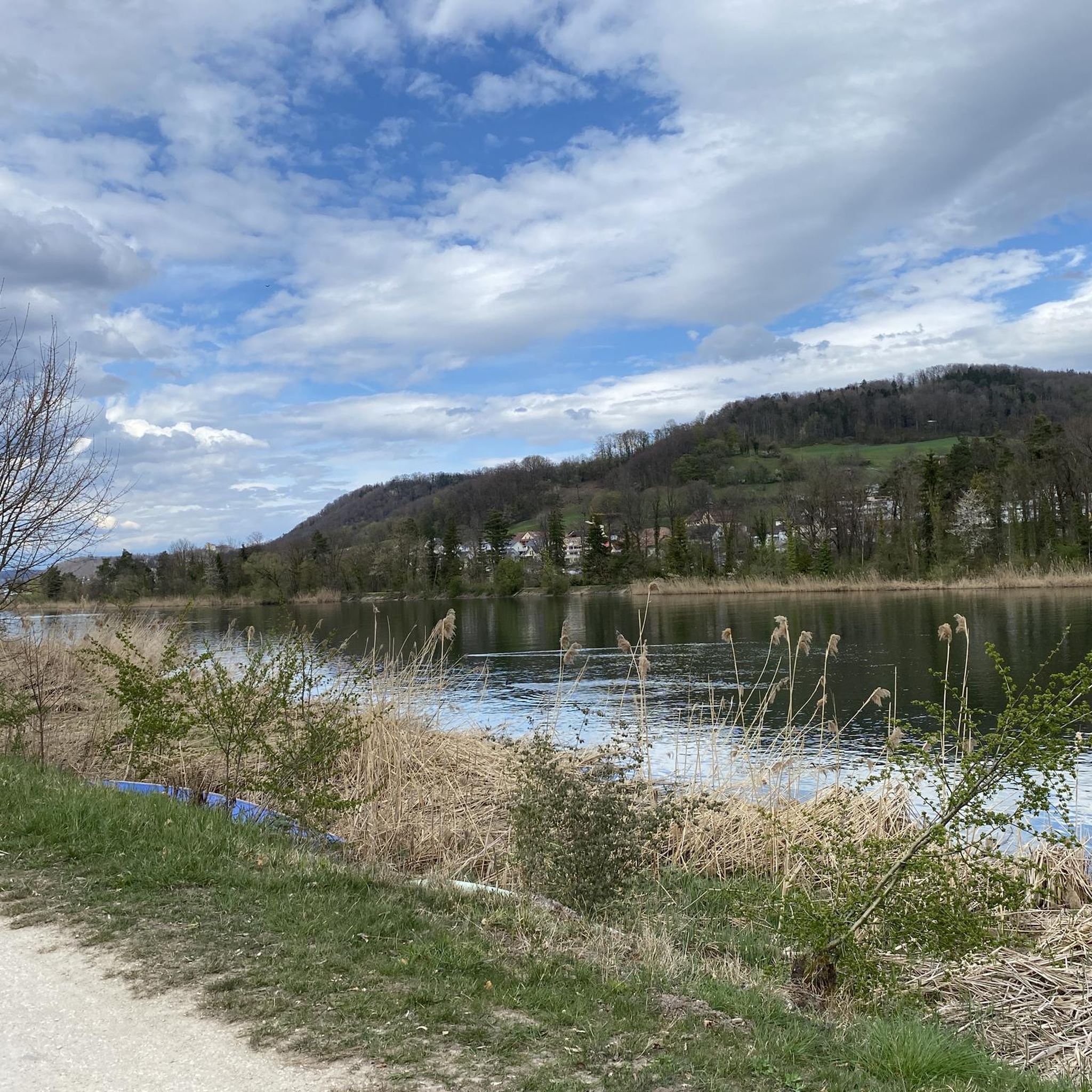
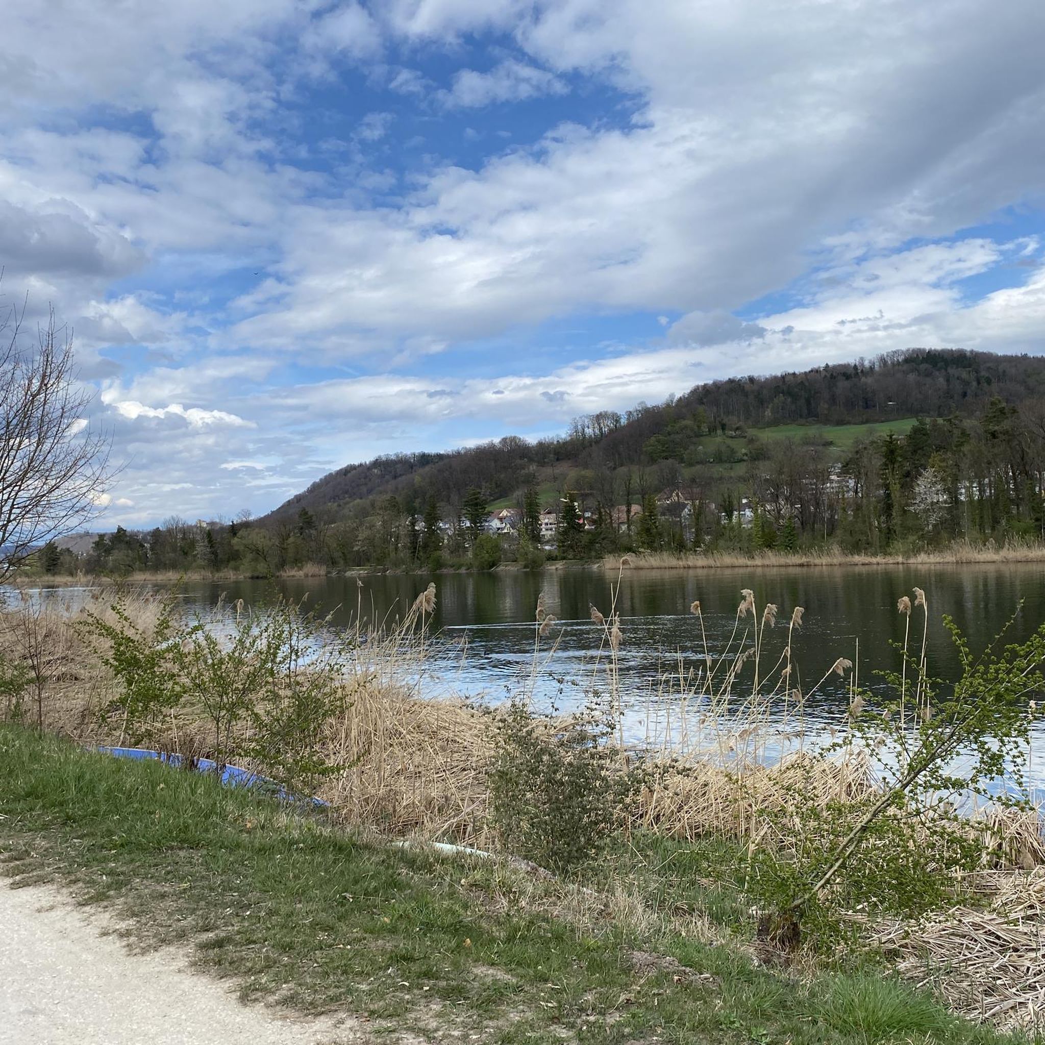
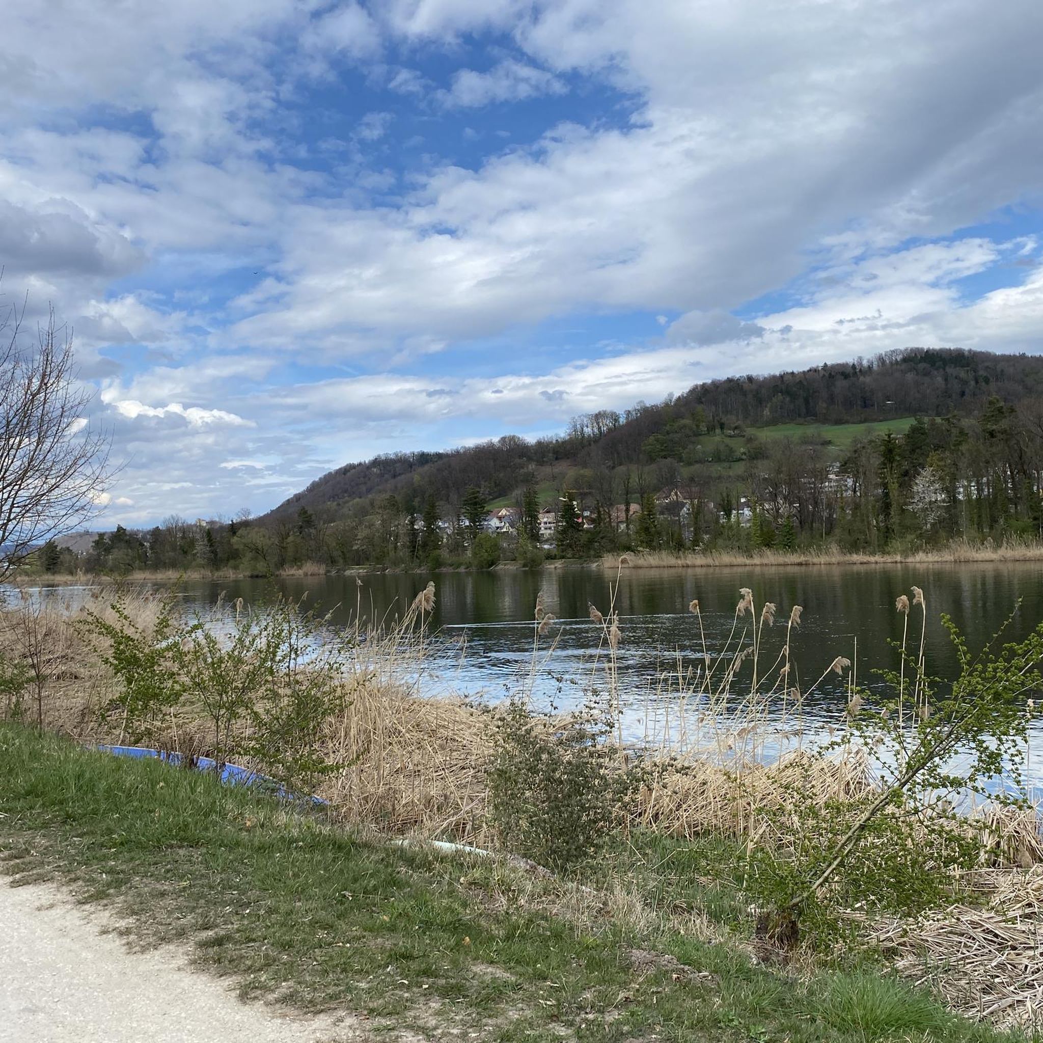
The bridge was built in two parts, one for motor vehicles, and the narrower one for pedestrians and hikers. It is very generously built, so that three bicycles can meet at the same level at the same time. From the bridge, a wonderful view of the Aare river and the renaturalized riverbank area.
0
0
A simple riverside path easy to ride, without obstacles. The landscape here is also beautiful.
0
0

always beautiful here. Is always worth a visit
2
0
always a very great tour
1
0
always a very great tour
1
0
very great tour again and again
1
0
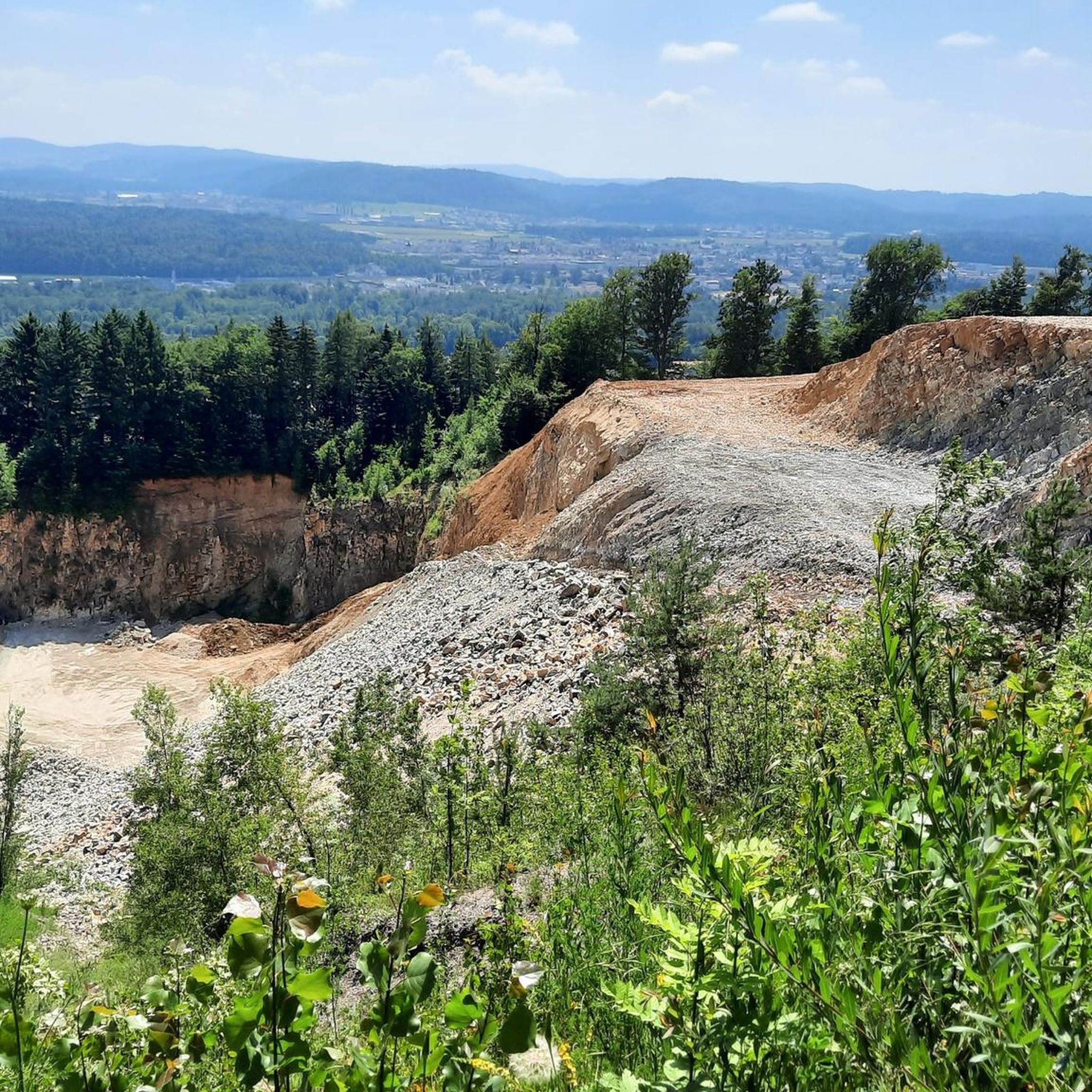
Rewarding tour in beautiful scenery.
1
0
Frequently Asked Questions
What kind of terrain can I expect on running routes around Veltheim?
The Veltheim area offers a diverse range of running terrain. You'll find paths along the scenic Oker river, trails winding through rolling hills, and extensive woodlands. The region is characterized by its undulating landscapes and dense forests, providing both accessible, flatter sections ideal for sustained runs and more challenging segments with elevation changes, particularly in areas like the Elm region or towards the Harz mountains.
How many running routes are available in the Veltheim area?
There are over 590 dedicated running routes around Veltheim, catering to various fitness levels. This includes a mix of easy, moderate, and difficult trails, ensuring there's something for every runner.
Are there any easy running routes suitable for beginners or a relaxed jog?
Yes, Veltheim offers several easy running routes. For instance, the local 'Ohe Trail – Wild Garlic Trail loop' is an easy 5.87 km loop with minimal elevation, perfect for a relaxed jog. The area also features many flat paths along the Oker river, which are generally suitable for beginners.
Can I find routes with significant elevation for a more challenging run?
Absolutely. For those seeking a challenge, routes like the Brunegg Castle – Scherzer Pond loop from Holderbank AG offer substantial elevation gain, with over 500 meters of ascent. The nearby Elm region also provides more challenging terrain with steeper sections, and the Harzer-Hexen-Stieg is known for its varied and demanding trail running opportunities.
What natural features or landmarks can I see along the running trails?
The running routes around Veltheim offer access to several interesting natural features and landmarks. You can explore highlights such as the Linner Waterfall, the tranquil Veronikasee surrounded by old forest, or the impressive Gislifluh/Gisliflue summit. The Confluence of the Limmat and Aare is another notable natural monument in the vicinity.
Are there any dog-friendly running trails in Veltheim?
Many of the natural trails and forest paths around Veltheim are suitable for running with dogs, provided they are kept on a leash and local regulations are followed. The extensive woodlands and river paths offer plenty of space for you and your canine companion to enjoy a run together. Always be mindful of wildlife and other trail users.
Are there family-friendly running options in the area?
Yes, Veltheim has several family-friendly running options. The easier, flatter loops, particularly those along the Oker river or around Veronikasee, are great for families with children. These paths often provide a safe and enjoyable environment for a leisurely run or walk.
What do other runners enjoy most about the trails in Veltheim?
The running routes in Veltheim are highly rated by the komoot community, with an average score of 4.5 stars from over 350 reviews. Runners often praise the varied terrain, from peaceful river paths to engaging forest trails, and the beautiful natural scenery. The options for different ability levels are also frequently highlighted as a positive aspect.
Is public transport available to access running trails in Veltheim?
Veltheim is a village, and while specific trailheads might require a short walk or local bus connection, the area is generally accessible. For detailed public transport information to specific starting points, it's best to check local bus schedules or regional train connections to Veltheim (Ohe) and plan your route accordingly.
Are there any circular running routes around Veltheim?
Yes, many of the running routes in Veltheim are designed as circular loops, allowing you to start and finish at the same point. Examples include the local 'Ohe Trail – Wild Garlic Trail loop' and the 'Großer Tafelberg – Alte Buche loop'. You can also find longer circular routes like the Aare River at Schinznach-Bad – Aare Suspension Bridge loop from Holderbank AG, which is 13.1 km long.
What is the best time of year to go running in Veltheim?
Veltheim offers beautiful running conditions throughout much of the year. Spring and autumn are particularly scenic, with vibrant colors in the woodlands and comfortable temperatures. Summer is also great, especially for shaded forest trails. While winter running is possible, some trails might be icy or muddy, so appropriate gear is recommended.
Are there any permits required for jogging on trails in Veltheim?
Generally, no specific permits are required for jogging on public trails and paths around Veltheim. However, it's always good practice to respect private property, follow local signage, and adhere to any regulations posted in nature reserves or protected areas.
Most popular attractions around Veltheim

Get inspired with the komoot mobile app


Explore more
Browse the best Running Trails & Routes in other regions.
