The best walks and hikes around Freycenet-La-Cuche
4.6
(560)
4,649
hikers
119
hikes
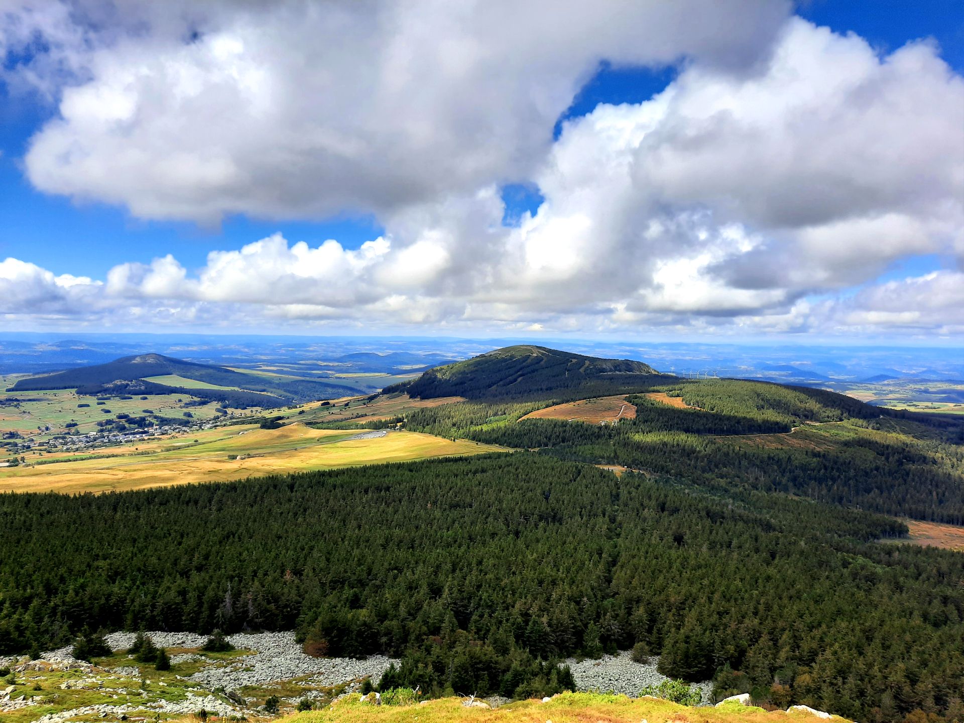
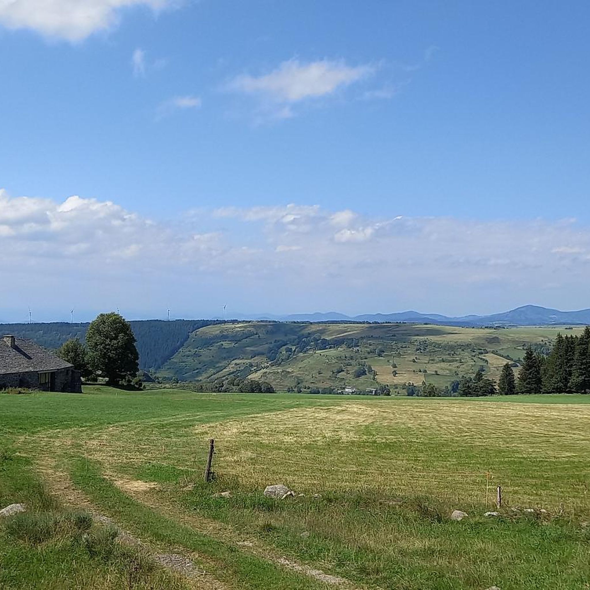
Hiking around Freycenet-La-Cuche offers diverse landscapes within France's Auvergne-Rhône-Alpes region, characterized by volcanic and mountainous terrain. The area features rugged peaks, green forests, and serene water bodies, including the significant Mont Mézenc and the Gorges de la Loire. Volcanic formations and picturesque lakes like Lac du Bouchet contribute to the varied natural environment. The region provides a network of trails suitable for various skill levels, from easy strolls to demanding treks.
Best hiking trails around Freycenet-La-Cuche
- The most popular hiking…
Last updated: June 29, 2026
4.8
(39)
255
hikers
Hard hike. Very good fitness required. Mostly accessible paths. Sure-footedness required.
4.6
(20)
105
hikers
Moderate hike. Good fitness required. Mostly accessible paths. Sure-footedness required.

Sign up for free
4.3
(3)
42
hikers
10.7km
03:06
270m
270m
Moderate hike. Good fitness required. Mostly accessible paths. Sure-footedness required.
4.4
(7)
47
hikers
15.6km
04:32
350m
360m
Hard hike. Good fitness required. Sure-footedness, sturdy shoes and alpine experience required.
4.5
(8)
41
hikers
12.6km
03:43
330m
330m
Moderate hike. Good fitness required. Mostly accessible paths. Sure-footedness required.
Get access to more routes and recommendations from other explorers.
Sign up for free
Already have an account?
Our route recommendations are based on thousands of hikes, rides, and runs completed by other people on komoot.
Start today with a free account
Your next adventure awaits.
Login or Signup

Other adventures around Freycenet-La-Cuche

Tips from the Community

Lots of hikers. Be polite and share the trail. The descent with the small steps is a treat.
0
0

pretty flowers, pretty trees, pretty views, but what more could you ask for...oh yes, a windbreaker, because the mistral makes his grandmother cold.
0
0
Who built this? Probably a grion who was passing by...
0
0
The cross is a bit ugly but it is not for it that we come to frolic in these green lands but rather for this landscape that would make a Caribou pale.
0
0
landscape that would make a caribou pale
0
0

superb hike with a 360 view at the top of Mézenc
0
0

A pass at an altitude of over 1500 m. It is the highest in Ardèche.
0
0

One of the highest road points in Haute-Loire, and a very beautiful view of the Pic Du Lisieux
0
0
Frequently Asked Questions
How many hiking trails are available around Freycenet-La-Cuche?
There are over 115 hiking trails around Freycenet-La-Cuche, catering to various skill levels. This includes 30 easy routes, 66 moderate routes, and 21 difficult routes, ensuring options for everyone from casual walkers to experienced trekkers.
What are the different difficulty levels for hiking trails in Freycenet-La-Cuche?
Hiking trails in Freycenet-La-Cuche are categorized into easy, moderate, and difficult. Easy paths are generally suitable for families and shorter outings, while moderate hikes require good fitness and can last up to 5 hours. Difficult hikes demand very good fitness and sure-footedness, often exceeding 5 hours or involving significant elevation gain.
Are there any easy, family-friendly hikes in Freycenet-La-Cuche?
Yes, there are 30 easy routes perfect for families or those seeking a relaxed stroll. One such option is the short walk known as "Le dessus de Freycenet-la-Cuche," which offers beautiful viewpoints across fields and along small roads directly from the village.
What natural landmarks can I explore while hiking near Freycenet-La-Cuche?
The region is rich in natural landmarks. You can hike to the South summit of Mont Mézenc, the highest point in the Haute-Loire, or explore the unique volcanic formations. Other notable features include the Boutières Cross Pass and the Col de la Croix Peccata, both offering stunning views of the surrounding volcanic landscape.
Are there any hikes with impressive viewpoints or panoramic vistas?
Absolutely. Many trails in the Freycenet-La-Cuche area offer spectacular views. For instance, the South summit of Mont Mézenc – North summit of Mont Mézenc loop provides panoramic views from the highest point in the Haute-Loire. Mont d'Alambre, accessible from Les Estables, also offers a 360° view of the surrounding peaks.
Can I find hikes that feature waterfalls in the Freycenet-La-Cuche area?
While not directly within Freycenet-La-Cuche, the wider region is home to impressive waterfalls such as Cascade de la Beaume and Cascade du Ray-Pic, which can be incorporated into a day trip from the area.
Are there any circular walks or loop trails available?
Yes, many trails in the area are designed as loops, allowing you to start and end at the same point. Examples include the South summit of Mont Mézenc – Boutières Cross Pass loop and the Col de la Croix Peccata – South summit of Mont Mézenc loop, both starting from Les Estables.
What do other hikers enjoy the most about hiking in Freycenet-La-Cuche?
The area is highly rated by the komoot community, with an average score of 4.6 stars from over 490 reviews. Hikers often praise the diverse volcanic landscapes, the serene water features like Lac du Bouchet, and the variety of trails that cater to all fitness levels.
Is Freycenet-La-Cuche suitable for dog-friendly hiking?
Many trails in the Freycenet-La-Cuche region are dog-friendly, allowing you to explore with your canine companion. However, it's always recommended to keep dogs on a leash, especially in nature reserves or near livestock, and to check specific trail regulations before you go.
What is the best time to visit Freycenet-La-Cuche for hiking?
The best time for hiking in Freycenet-La-Cuche is generally from spring to autumn, when the weather is mild and the trails are clear. Summer offers lush greenery, while autumn brings vibrant colors. Winter can be beautiful for snowshoeing, especially around Mont d'Alambre which transforms into a ski resort, but requires appropriate gear and conditions.
Are there any long-distance hiking options in the area?
Yes, Freycenet-La-Cuche is situated near renowned long-distance paths. The area is part of the GR 4 and 441 trails, and routes like Compostelle and Stevenson, providing extensive options for longer treks and multi-day adventures for experienced hikers.
Are there any unique geological features to see on the trails?
The region is characterized by its volcanic origins. You can explore unique geological formations, including the 'round volcanoes' of the Chaîne des Puys. The Les Estables – Tourte Rock loop, for example, takes you through wild moorland with a distinct volcanic atmosphere.
Most popular attractions around Freycenet-La-Cuche

Get inspired with the komoot mobile app


Explore more
Browse the best Hikes in other regions.
