The best mountain hikes around Tramezaïgues
4.3
(7)
28
hikers
3
hikes
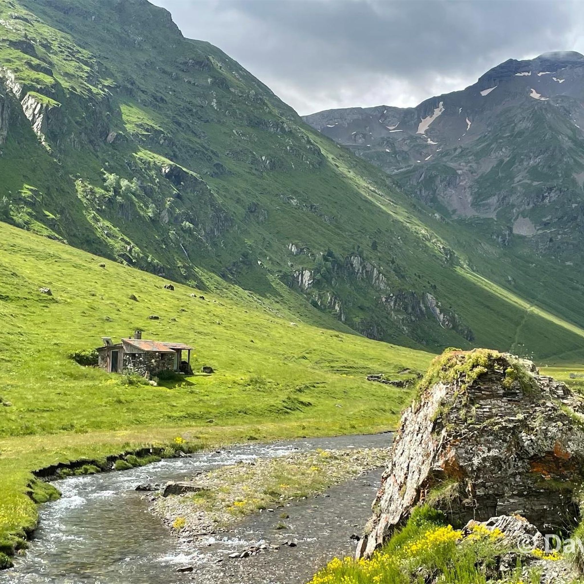
Mountaineering routes around Tramezaïgues are characterized by high mountain terrain, featuring rugged peaks and alpine lakes. The region offers significant elevation changes, making it suitable for challenging ascents. Valleys and passes connect various summits, providing diverse landscapes for exploration.
Best mountaineering routes around Tramezaïgues
- The most popular mountaineering route is Gourg de Cap de Long – Pic de Campbieil loop from Lac de Cap-de-Long, an 8.6 miles (13.8 km) trail that takes 6 hours 54 minutes to complete. This…
Last updated: October 7, 2026
4.0
(2)
11
hikers
10.6km
07:18
1,370m
1,370m
Hard mountaineering route. Very good fitness required. Sure-footedness, sturdy shoes and alpine experience required.
5.0
(1)
7
hikers
13.4km
05:03
660m
670m
Hard mountaineering route. Very good fitness required. Mostly accessible paths. Sure-footedness required.

4.5
(2)
4
hikers
7.53km
02:42
430m
430m
Moderate mountaineering route. Good fitness required. Mostly accessible paths. Sure-footedness required.
4.5
(2)
5
hikers
11.8km
04:10
270m
270m
Moderate mountaineering route. Good fitness required. Mostly accessible paths. Sure-footedness required.
Our route recommendations are based on thousands of hikes, rides, and runs completed by other people on komoot.
Start today with a free account
Your next adventure awaits.
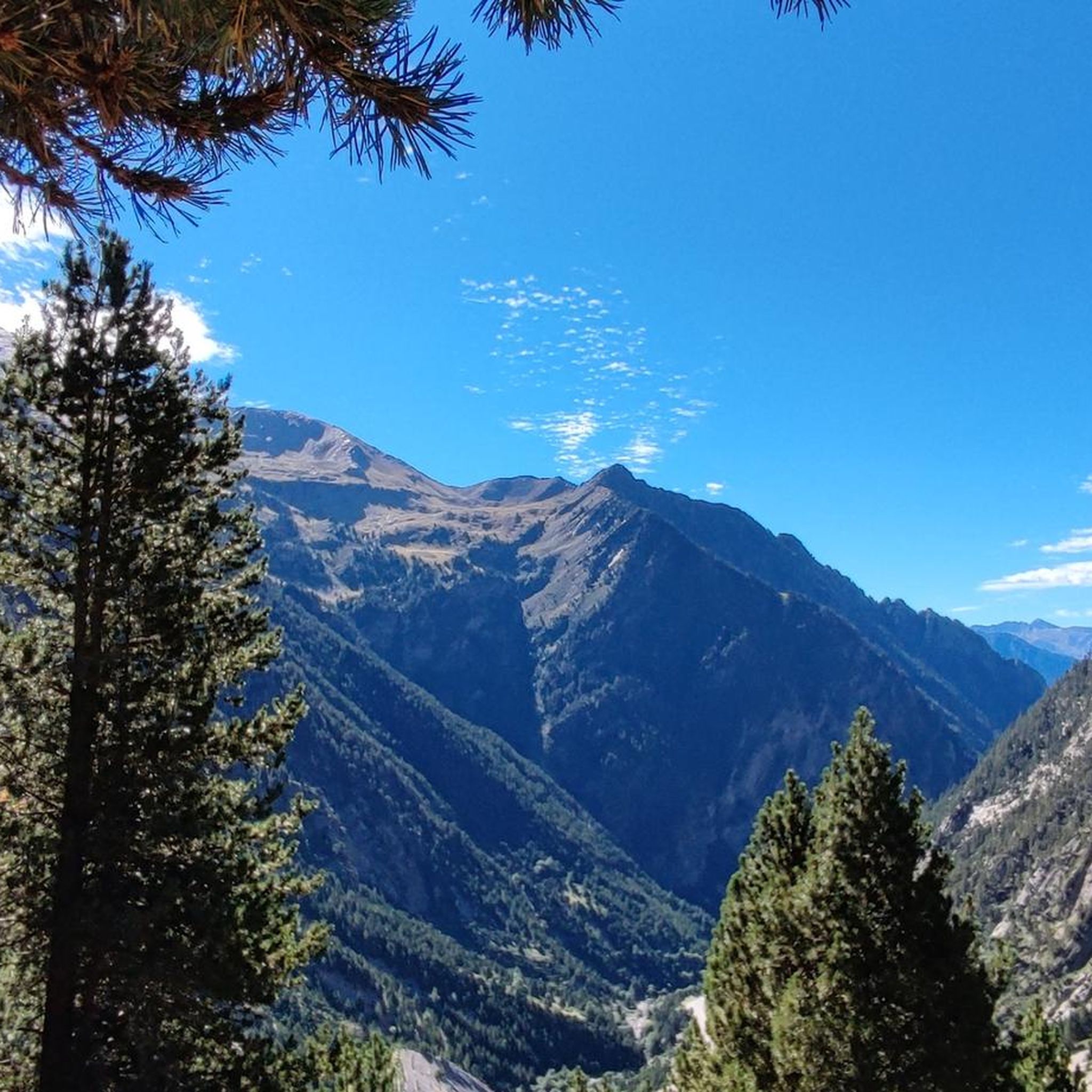
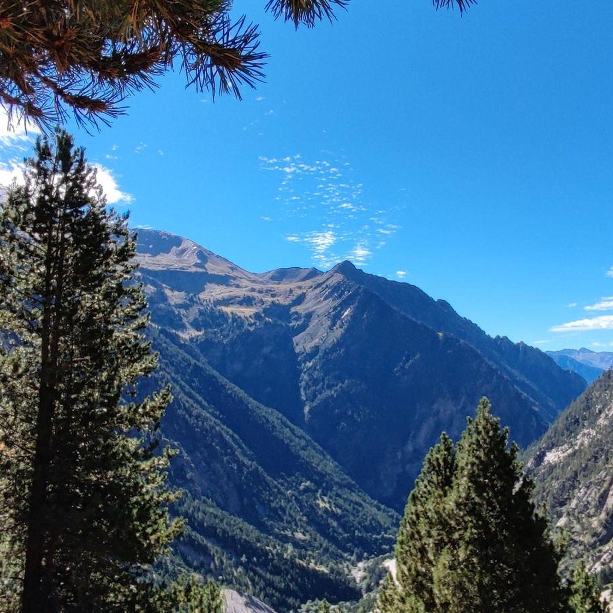
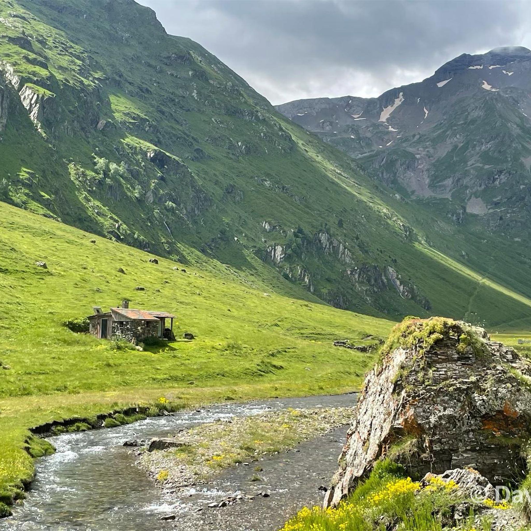
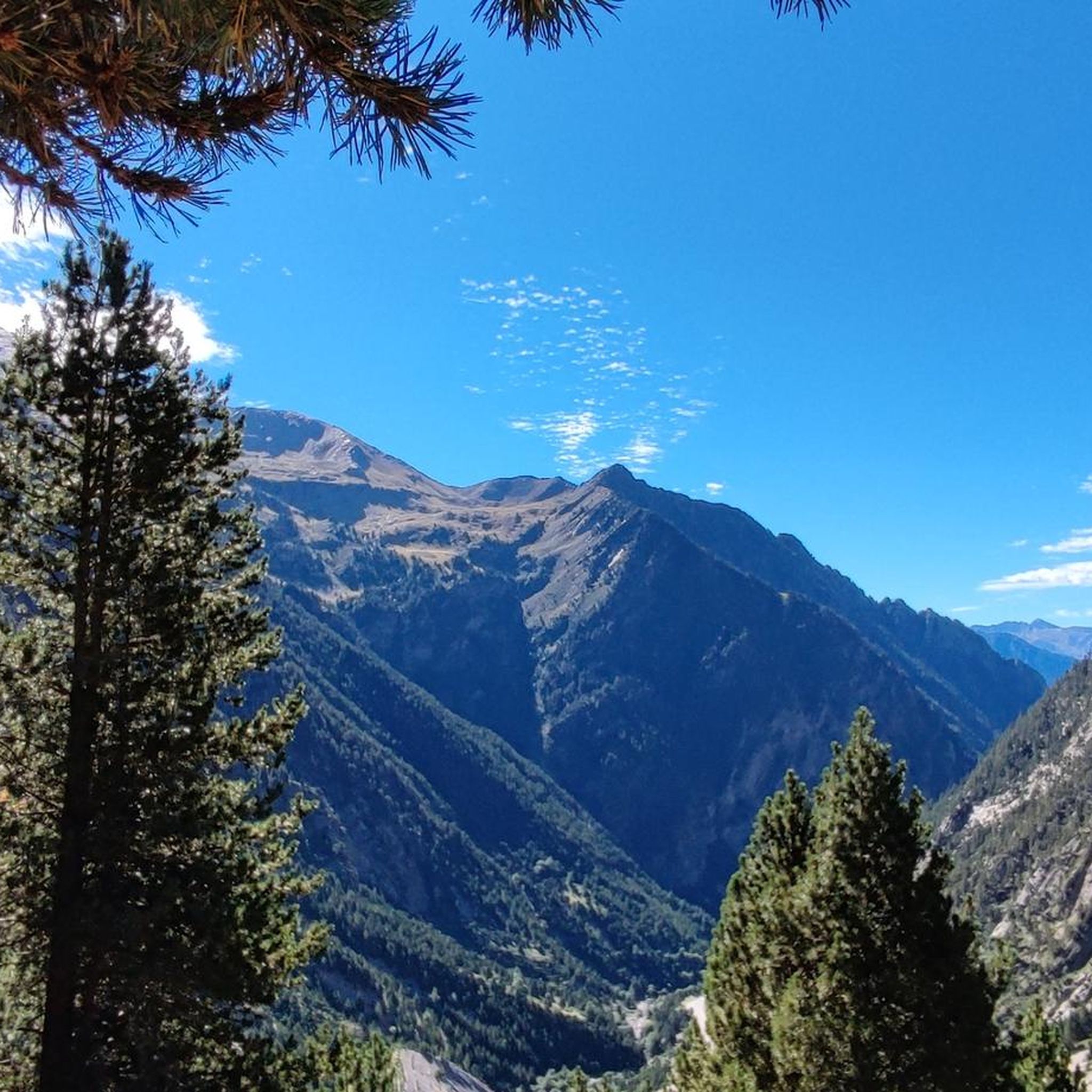

Tips from the Community

Beautiful lake next to the Bastan refuge
0
0

On the climb to Cap d'Long, a detour to this lake is highly recommended. The climb and the scenery above are even more beautiful than the first.
0
0

Magnificent lake with a path allowing you to admire it from all angles.
0
0

Difficult pass at first, especially in the heat. Easier after the first third. Be careful of the unlit tunnel 1 km from the summit. For added peace and quiet, the road leading up to the pass is closed to traffic from 4 p.m. to 6 p.m.
0
0


The succession of lakes in the opposite direction to what the majority of hikers do is a real eye-opener 🤩 Be careful, departure at 9am from the paid parking lot 🅿️ and we were far from being the first!
0
0

Ferratas ravines canyons torrents and all mountains Ferratas ravines canyons torrents and all mountains Realized The mussara toothless Borrowing plan Matarraña ... 608 more ravines Barranc de Manyanet Barran del Salt de la Sallent d'Olot Barranc de Sant Aniol Barranc de la Comella or Canals ... 503 more via ferratas Via Ferrata Las Buitreras K4 or D/TD Via Ferrata Estrechos de Priego K3 or AD Via Ferrata Cabezo Miñaque or La Garapacha K2 or PD Via Ferrata Castillo de Salvatierra K2 or PD Via Ferrata La Villa K2 or PD Via Ferrata Sierra del Lúgar K3 to K5 or AD to TD ... 85 more via ferratas Via Ferrata Las Buitreras K4 or D/TD Via Ferrata Estrechos de Priego K3 or AD Via Ferrata Cabezo Miñaque or La Garapacha K2 or PD Via Ferrata Castillo de Salvatierra K2 or PD Via Ferrata La Villa K2 or PD Via Ferrata Sierra del Lúgar K3 to K5 or AD to TD ... 89 more Els Ports canyon BARANCO DE LA CARAMELLA RAÇÓ DE LA GRALLA CANYON CANAL DE LA CASTELLONA BARANC DELS HORTS DE UEC (DEGOTALLS) ... 199 more ferratas france Saint-Ours VF VF the ridges of Combe-la-Roche VF Pre Premier VF des Rochers de la Clapière ... 55 more Barrancos Catalonia Forest of Serradell king Wives they will be ... 519 more ravines Papuans Barranco el Gargantón poyatos Barranco de Consusa Inferior ... 725 more Waypoints Torca de Bañuelos Cave of Peña Ladrero La Tuda Cave Cave of San Pedro I ... 1954 more
0
0

Superb hike but it doesn't make you dizzy because the climb to get to the other side of the mountain is quite physical and once you arrive at the top, the view is splendid but dizzying 😀
0
0
Frequently Asked Questions
How many mountaineering routes are available around Tramezaïgues?
There are several mountaineering routes around Tramezaïgues, with komoot featuring 5 distinct tours. These routes cater to various skill levels, from moderate to difficult, offering diverse experiences in the high mountain terrain.
Are there any moderate mountaineering routes suitable for those looking for a less strenuous challenge?
Yes, Tramezaïgues offers several moderate mountaineering routes. For example, the Lac d'Oredon – Pas du Gat loop from Lac de Cap-de-Long is a moderate 8.1-mile (13.1 km) trail that takes you through alpine lakes and mountain passes. Another excellent moderate option is the Cap de Pède – Granges de Grascouéou loop from Vignec, which covers 4.6 miles (7.4 km).
What are the best options for experienced mountaineers seeking a significant challenge?
Experienced mountaineers will find challenging routes with substantial elevation gain around Tramezaïgues. The Gourg de Cap de Long – Pic de Campbieil loop from Lac de Cap-de-Long is a difficult 8.6-mile (13.8 km) trail, taking nearly 7 hours to complete. Another demanding option is the Arbizon loop from Aulon, a difficult 6.4-mile (10.3 km) path traversing rugged terrain to prominent mountain summits.
What kind of terrain can I expect on mountaineering routes in Tramezaïgues?
Mountaineering routes in Tramezaïgues are characterized by high mountain terrain, rugged peaks, and stunning alpine lakes. You can expect significant elevation changes, mountain passes, and diverse landscapes, making for challenging and rewarding ascents.
Are there any circular mountaineering routes in the area?
Yes, many of the mountaineering routes around Tramezaïgues are circular, allowing you to start and end at the same point. Examples include the Gourg de Cap de Long – Pic de Campbieil loop from Lac de Cap-de-Long and the Arbizon loop from Aulon, both offering comprehensive tours of their respective areas.
What are some notable natural attractions or landmarks to see along the mountaineering trails?
The region is rich in natural beauty. Along the trails, you might encounter stunning alpine lakes such as Lake Orédon, Les Laquettes, and Middle Bastan Lake. Mountain passes like Col de Val Louron-Azet also offer breathtaking views.
Are there any huts or refuges available along the mountaineering routes for breaks or overnight stays?
Yes, there are several huts and refuges in the vicinity that can serve as excellent spots for breaks or, with prior planning, overnight stays. Notable options include the Bastan Refuge, Cabane de Barrosa, and La Lude Hut.
What do other mountaineers say about the routes in Tramezaïgues?
The mountaineering routes around Tramezaïgues are highly regarded by the komoot community, holding an average rating of 4.5 stars from over 8 reviews. Mountaineers often praise the challenging ascents, the stunning alpine lake scenery, and the rugged, unspoiled high mountain environment.
Is there a route that features multiple alpine lakes?
Yes, the Middle Bastan Lake – Upper Bastan Lake loop from Col de Portet is an excellent choice for those who want to experience multiple alpine lakes. This moderate 7.3-mile (11.8 km) route offers beautiful views of these iconic high-altitude water bodies.
What is the best time of year for mountaineering in Tramezaïgues?
The best time for mountaineering in Tramezaïgues is typically during the summer months (late June to early September) when the snow has largely melted from higher elevations, and the weather is generally more stable. Always check local weather forecasts and conditions before heading out, as mountain weather can change rapidly.
Are there any routes that are particularly good for spotting panoramic viewpoints?
Many routes in Tramezaïgues offer panoramic views due to the significant elevation gains. The Gourg de Cap de Long – Pic de Campbieil loop from Lac de Cap-de-Long is known for its panoramic vistas, especially from the higher sections, providing expansive views of the surrounding peaks and valleys.
Most popular routes around Tramezaïgues
Most popular attractions around Tramezaïgues

Get inspired with the komoot mobile app


Explore more
Browse the best Mountain Hikes & Routes in other regions.
