The best walks and hikes around Roquecourbe-Minervois
4.5
(255)
1,265
hikers
72
hikes
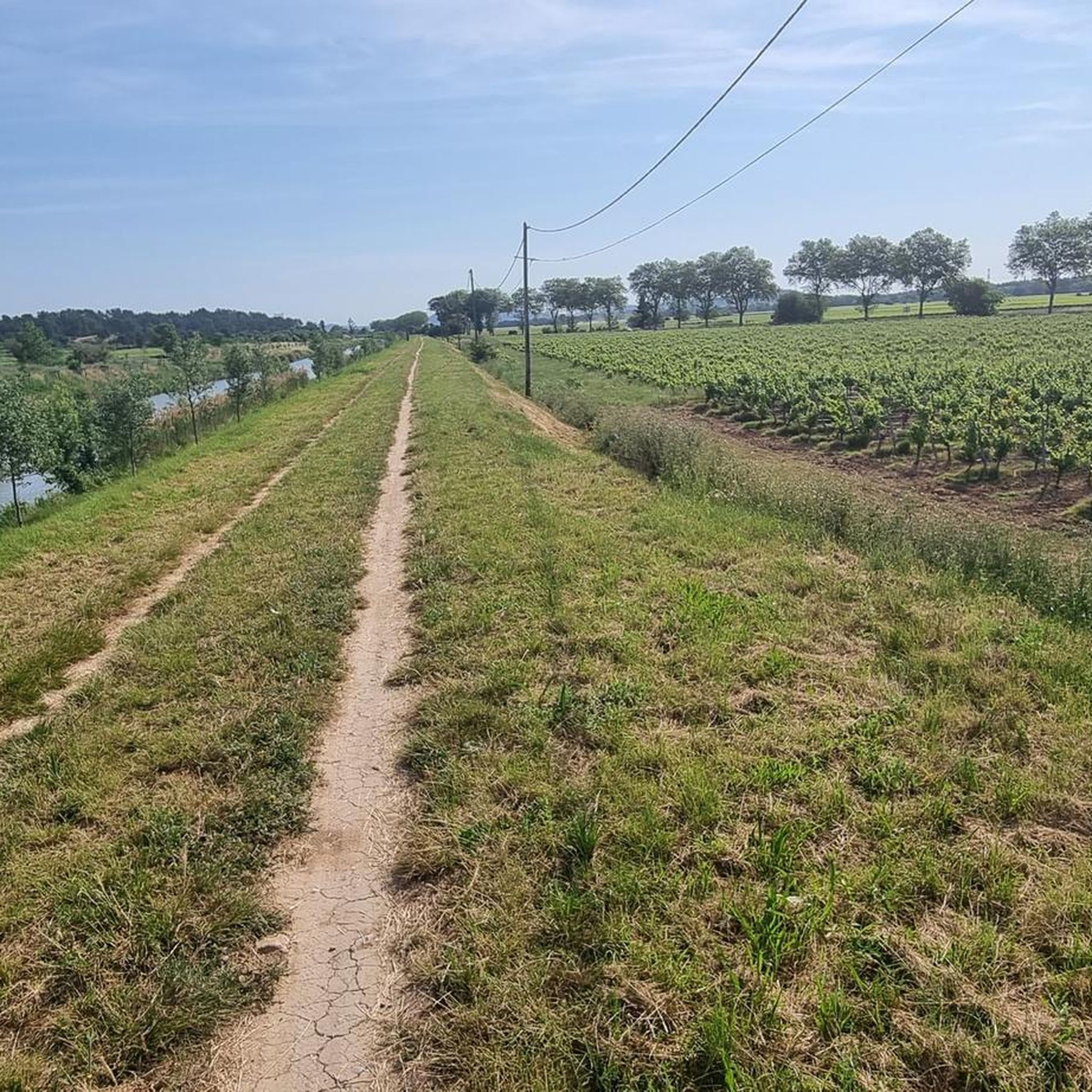
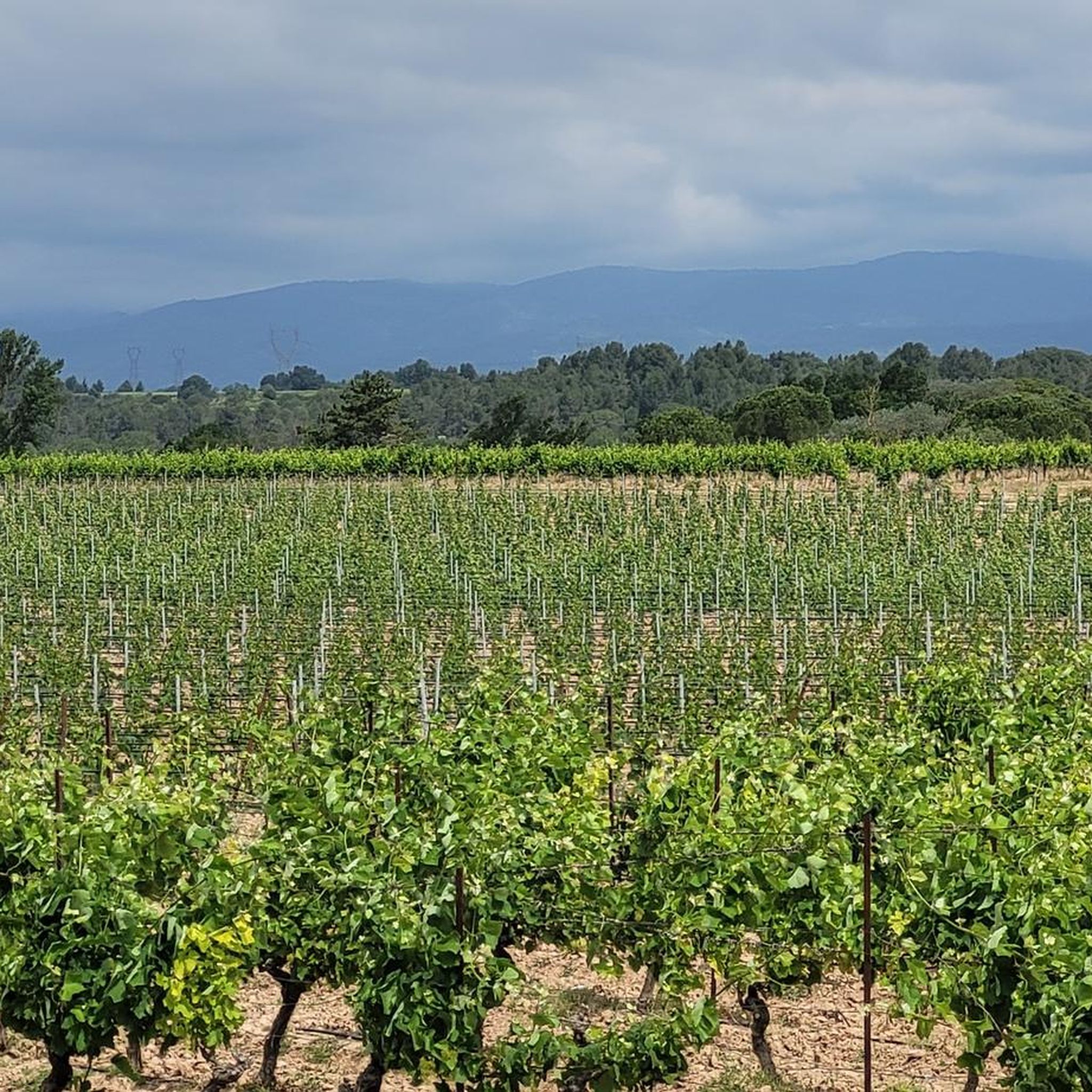
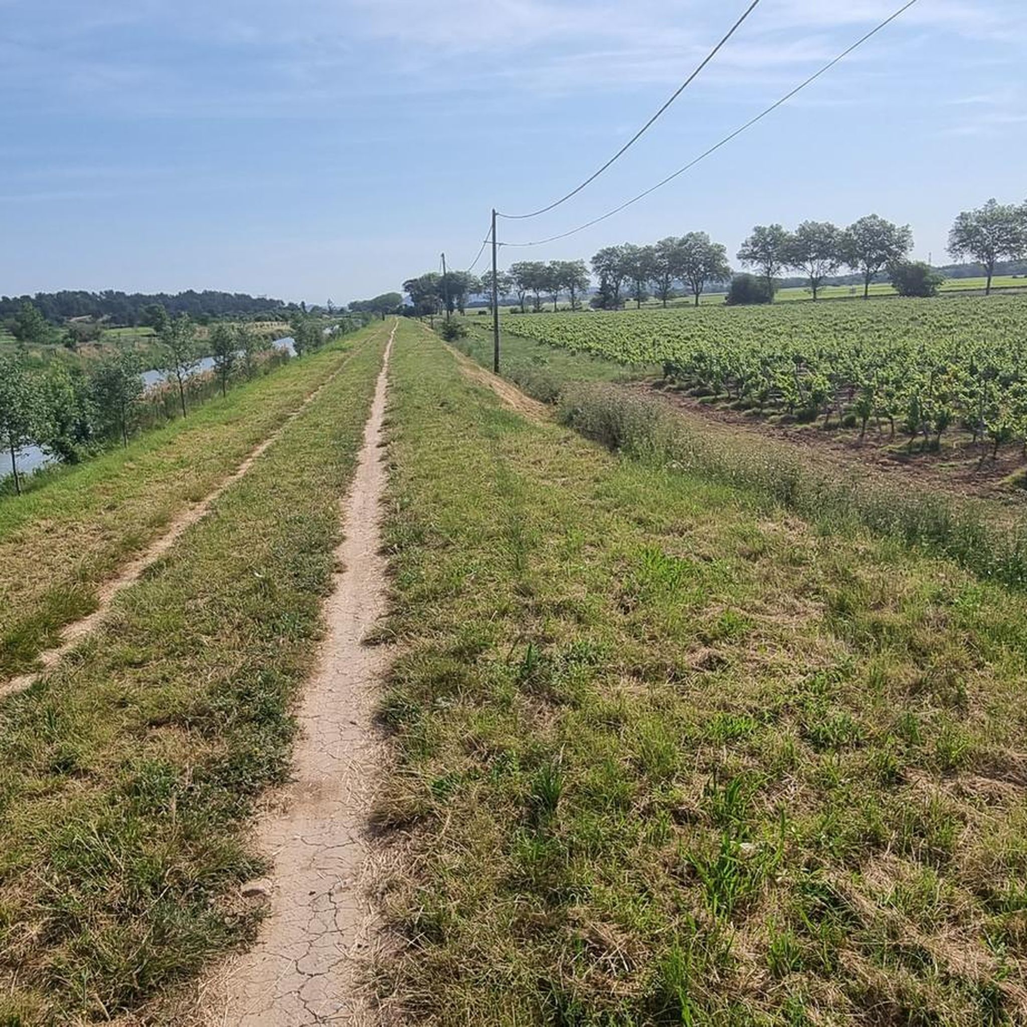
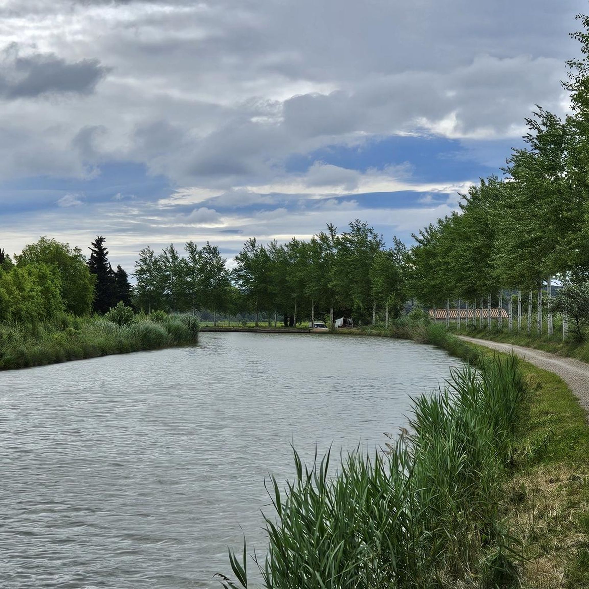
Hiking around Roquecourbe-Minervois offers diverse landscapes, from the flat paths alongside the Canal du Midi to the rugged terrain of the Montagne d'Alaric. The region is characterized by rolling hills, extensive vineyards, and Mediterranean scrubland known as garrigue, interspersed with pine forests. The Aude Valley, drained by the Aude River, also contributes to the area's natural features. This varied topography provides a range of hiking experiences for different skill levels.
Best hiking trails around Roquecourbe-Minervois
- The most popular hiking route is Roc de l'Aigle Loop Trail, a difficult 12.4 miles (19.9 km) trail that takes 6 hours 21 minutes to complete, offering panoramic views from the Montagne d'Alaric.
- Another top favourite among local hikers is The signal d'Alaric by the roc Gris, a moderate 5.6 miles (9.0 km) path. This route provides views across the Montagne d'Alaric and its surroundings.
- Local hikers also love the Rich Flora loop from Montbrun-des-Corbières, a 3.9 miles (6.2 km) trail leading through garrigue and vineyards, often completed in about 1 hour 43 minutes.
- Hiking around Roquecourbe-Minervois is defined by canal-side paths, the rugged Montagne d'Alaric, and trails through vineyards and garrigue. The network offers options for various ability levels, from easy strolls to more challenging mountain hikes.
- The routes in Roquecourbe-Minervois are highly rated by the komoot community with an average score of 4.5 stars from over 200 reviews. More than 1000 hikers have used komoot to explore Roquecourbe-Minervois's varied terrain.
Last updated: July 4, 2026
4.9
(9)
46
hikers
19.9km
06:21
720m
720m
Hike the difficult 12.4-mile Roc de l'Aigle Loop Trail in Montagne d'Alaric, offering panoramic views and historical vestiges.
4.4
(7)
22
hikers
9.04km
03:09
490m
490m
Moderate hike. Good fitness required. Easily-accessible paths. Suitable for all skill levels.

Sign up for free
4.8
(9)
24
hikers
9.86km
03:23
520m
520m
Moderate hike. Good fitness required. Easily-accessible paths. Suitable for all skill levels.
4.7
(6)
23
hikers
6.22km
01:43
100m
100m
Easy hike. Great for any fitness level. Easily-accessible paths. Suitable for all skill levels.
5.0
(1)
8
hikers
12.5km
04:07
580m
580m
Moderate hike. Good fitness required. Easily-accessible paths. Suitable for all skill levels.
Get access to more routes and recommendations from other explorers.
Sign up for free
Already have an account?
Our route recommendations are based on thousands of hikes, rides, and runs completed by other people on komoot.
Start today with a free account
Your next adventure awaits.
Login or Signup

Tips from the Community


The Alaric signal covers the Corbières massif. Perched at 500 meters above sea level, is the highest point of Alaric Mountain. This summit offers a beautiful panorama of the Montagne Noire, the Corbières massif, the Canigou massif as well as Ariège and the Aude plain.
3
1

The Roc Gris overlooking the Priory of Saint-Pierre d'Alaric (actually a former castrum) offers a magnificent view.
2
1
Former castrum, this site was long named Priory of Saint-Pierre d'Alaric. Even if the term "Priory" remains, the site is now known as the Château de St-Pierre; or Château d'Alaric.
0
1
Alaric's signal offers a magnificent panorama.
2
1
Frequently Asked Questions
How many hiking trails are available around Roquecourbe-Minervois?
There are over 75 hiking routes around Roquecourbe-Minervois, offering diverse experiences from easy strolls to more challenging mountain hikes. You'll find a good mix, with over 35 easy trails and around 30 moderate options.
Are there any easy or family-friendly hiking options?
Yes, Roquecourbe-Minervois offers many easy trails suitable for families. The flat paths alongside the historic Canal du Midi are particularly ideal for leisurely walks. For a specific easy route, consider the Rich Flora loop from Montbrun-des-Corbières, which takes you through garrigue and vineyards.
What kind of landscapes can I expect to see while hiking here?
You'll experience a rich variety of landscapes. Trails traverse the rolling Minervois hills, extensive vineyards, and aromatic Mediterranean scrubland (garrigue) interspersed with pine forests. The majestic Massif d'Alaric offers panoramic views, while the tranquil paths along the Canal du Midi provide a different, waterside perspective.
Are there any circular hiking routes in the area?
Yes, many of the trails around Roquecourbe-Minervois are circular, allowing you to start and end at the same point. For a challenging loop with stunning views, try the Roc de l'Aigle Loop Trail in the Montagne d'Alaric.
What are some notable natural or historical sights to look out for on the trails?
The region is rich in points of interest. Along the Canal du Midi, you can observe historical engineering marvels like the Canal du Midi Bridge, the Argent-Double aqueduct and spillway, and the Aiguille Lock. The Massif d'Alaric also offers deep combes and green oak forests, with legends of Visigothic treasure.
Can I bring my dog on the hiking trails?
Many trails in the Roquecourbe-Minervois area are dog-friendly, especially those through the natural landscapes of the garrigue and vineyards, and along the Canal du Midi. However, it's always advisable to keep your dog on a leash, particularly in areas with livestock or protected wildlife, and to check specific trail regulations if available.
What do other hikers enjoy most about hiking in Roquecourbe-Minervois?
The area is highly rated by the komoot community, with an average score of 4.5 stars. Reviewers often praise the diverse terrain, from the tranquil canal paths to the panoramic views from the Montagne d'Alaric, as well as the well-maintained trails through vineyards and aromatic garrigue.
Are there any challenging hikes for experienced trekkers?
Absolutely. The Massif d'Alaric offers more strenuous options. For example, The signal d'Alaric by the roc Gris is a moderate route with significant elevation gain, providing expansive views across the Aude plain and beyond.
Is there public transport access to trailheads?
While public transport options directly to all trailheads might be limited in this rural region, the village of Roquecourbe-Minervois itself is a good starting point for many local walks. For routes further afield, a car is generally recommended to access the more remote trailheads, especially those in the Massif d'Alaric.
Where can I find parking for hiking trails?
Parking is typically available in or near the villages where trails begin, such as Roquecourbe-Minervois or Moux. For trails along the Canal du Midi, you can often find parking spots near locks or specific access points. Always check local signage for any restrictions.
What is the best time of year to go hiking in Roquecourbe-Minervois?
Spring (April to June) and autumn (September to October) are generally the best times for hiking. The weather is pleasant, and the Mediterranean flora is vibrant. Summers can be very hot, making early morning or late afternoon hikes preferable, especially for longer routes. Winter offers cooler temperatures and fewer crowds, though some paths might be muddy after rain.
Are there any longer, multi-hour hikes available?
Yes, for those looking for longer excursions, the region provides several options. The Alaric Tour – Signal of Alaric loop from Moux is a moderate 12.5 km route that takes over 4 hours to complete, offering a substantial trek through the massif.
Most popular routes around Roquecourbe-Minervois
Most popular attractions around Roquecourbe-Minervois

Get inspired with the komoot mobile app


Explore more
Browse the best Hikes in other regions.
