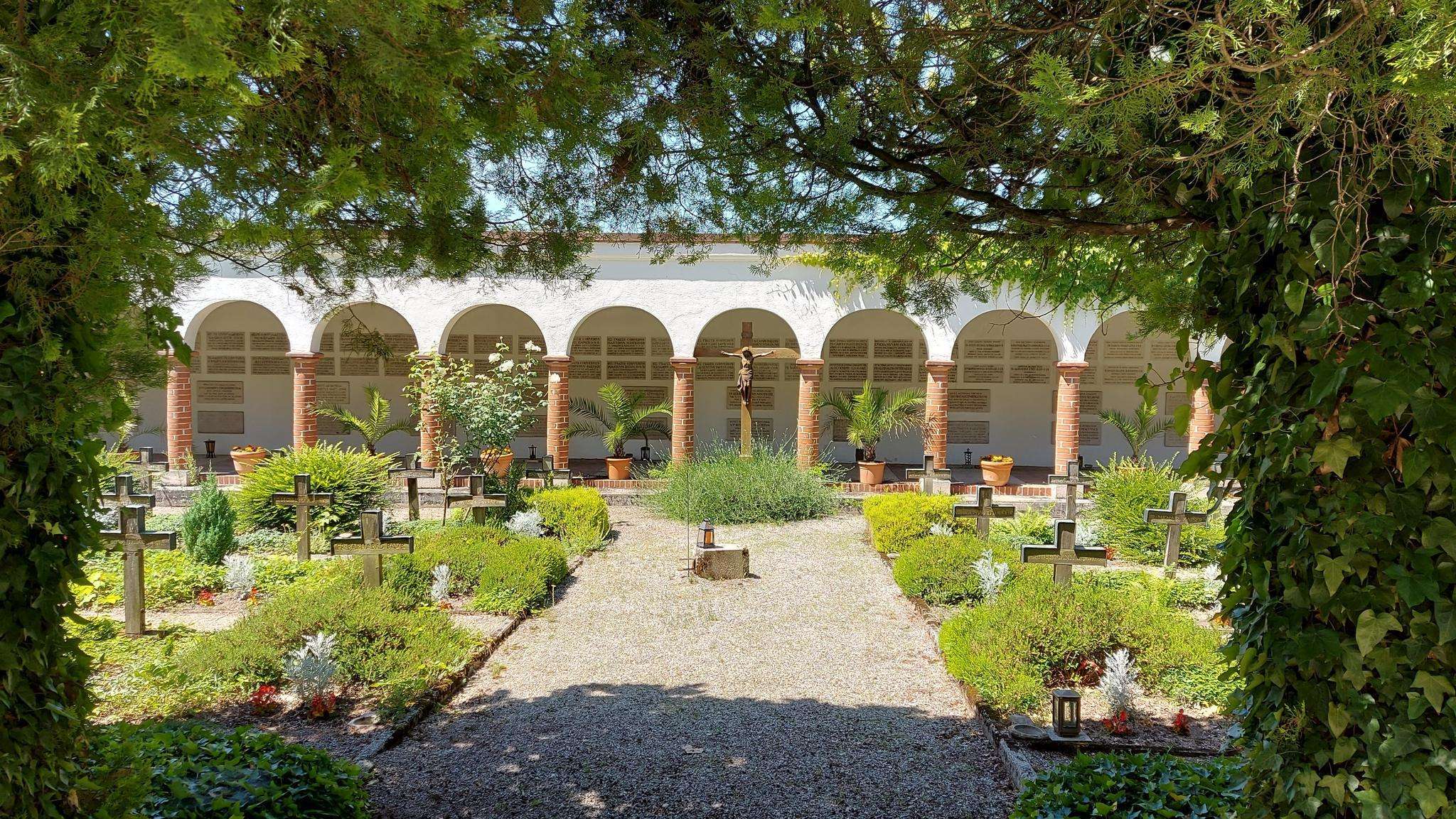
The best running trails around Ciry-Le-Noble
4.5
(39)
1,529
runners
170
runs
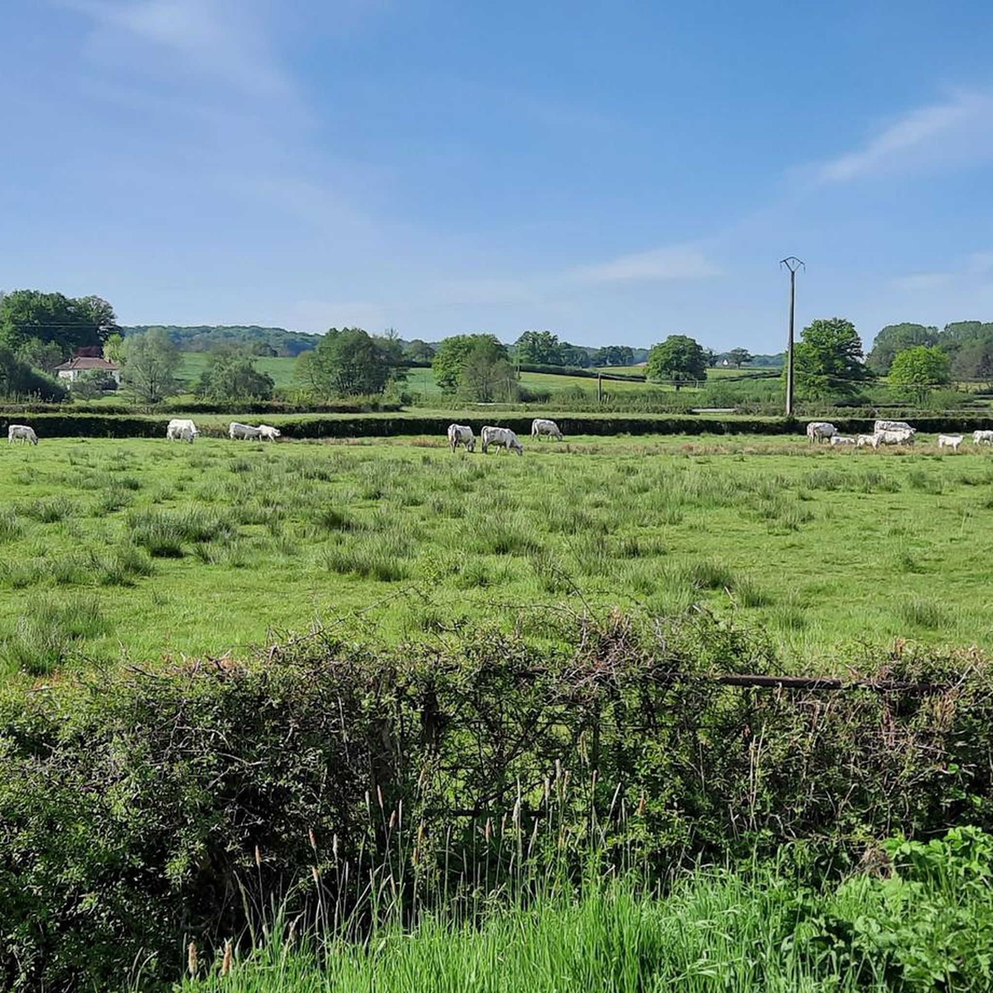
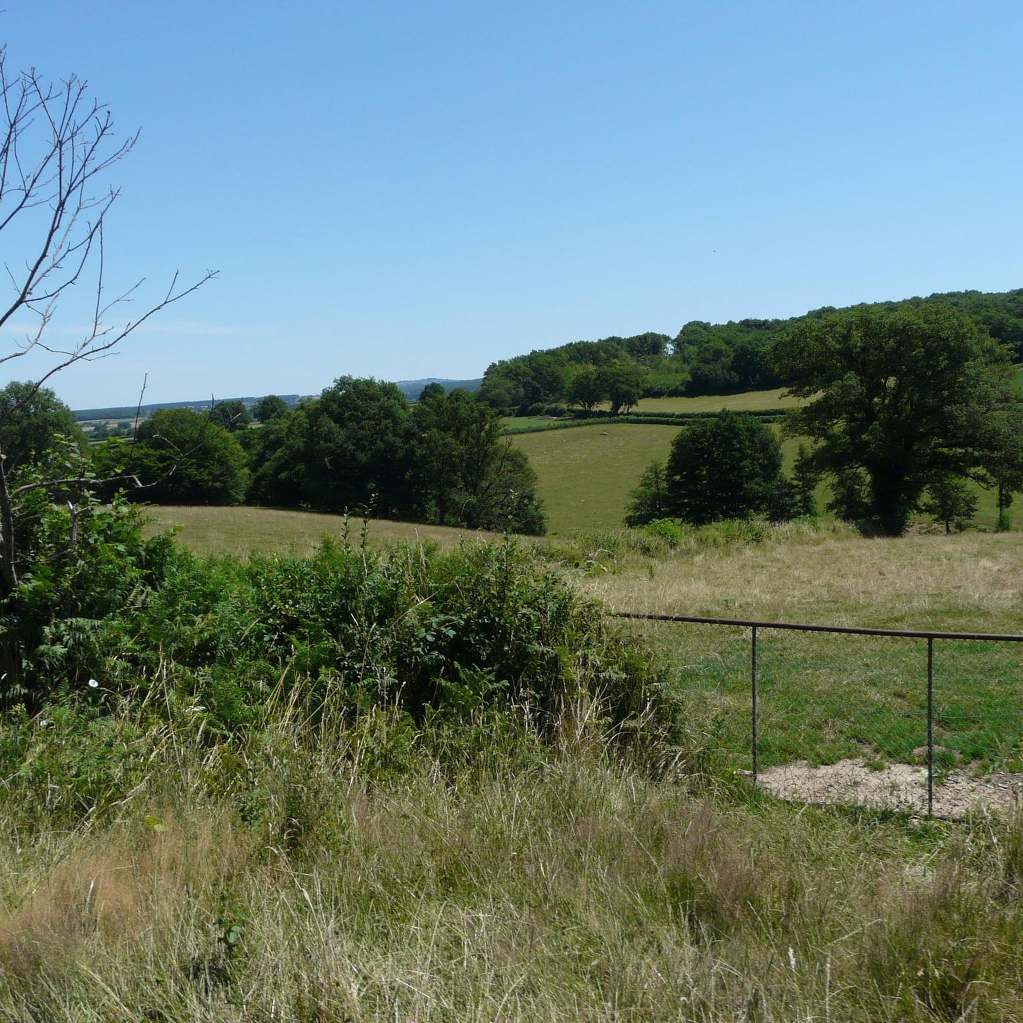
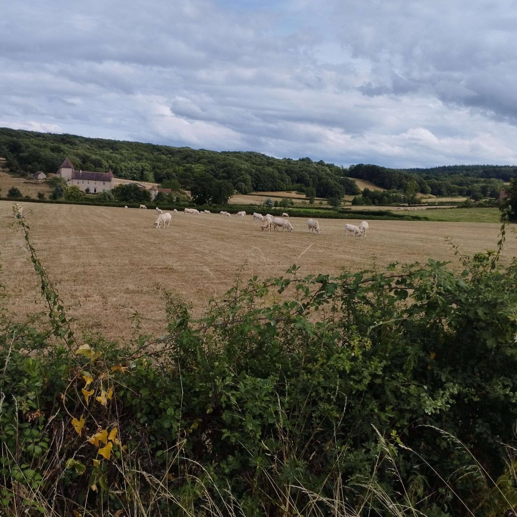
Jogging routes around Ciry-Le-Noble are characterized by a mix of flat and gently rolling terrain, ideal for various running preferences. The region features the Bourbince river and the Canal du Centre, offering scenic towpaths that provide a green environment for running. Surrounding farming landscapes contribute to open views and a serene, rural setting. While many routes are relatively flat, some trails include moderate elevation changes, with the commune's altitude ranging from 262m to 422m.
Best jogging routes around Ciry-Le-Noble
- The…
Last updated: August 25, 2026
62
runners
17.4km
01:56
170m
170m
Hard run. Very good fitness required. Mostly paved surfaces. Suitable for all skill levels.
19
runners
9.01km
01:02
80m
80m
Moderate run. Good fitness required. Mostly paved surfaces. Suitable for all skill levels.

Sign up for free
6
runners
7.75km
00:49
70m
70m
Moderate run. Good fitness required. Mostly paved surfaces. Suitable for all skill levels.
5.0
(1)
5
runners
12.3km
01:18
110m
110m
Moderate run. Good fitness required. Mostly paved surfaces. Suitable for all skill levels.
4.0
(1)
2
runners
8.04km
00:53
110m
110m
Moderate run. Good fitness required. Mostly paved surfaces. Suitable for all skill levels.
Get access to more routes and recommendations from other explorers.
Sign up for free
Already have an account?
Our route recommendations are based on thousands of hikes, rides, and runs completed by other people on komoot.
Start today with a free account
Your next adventure awaits.
Login or Signup


Frequently Asked Questions
What kind of terrain can I expect on running trails around Ciry-le-Noble?
Jogging routes in Ciry-le-Noble feature a mix of flat and gently rolling terrain. You'll find scenic towpaths along the Canal du Centre and the Bourbince river, offering a green and often flat environment. The surrounding farming landscapes provide open views and a serene, rural setting. While many routes are relatively flat, some trails include moderate elevation changes, offering options for different fitness levels.
How many running routes are available in Ciry-le-Noble, and what are their difficulty levels?
There are over 150 running routes available around Ciry-le-Noble. The majority, about 130, are classified as moderate, offering a good balance of challenge and accessibility. There are also around 8 easy routes perfect for beginners or a relaxed run, and about 14 more challenging trails for experienced runners.
Are there any circular running routes in Ciry-le-Noble?
Yes, many of the running routes in Ciry-le-Noble are circular, allowing you to start and finish in the same location. For example, the Running loop from Les Bois is a popular 10.6 km circular route, and the Étang Garniot loop from Aérodrome de Montceau-les-Mines - Pouilloux offers a scenic 12.1 km loop.
What do other runners enjoy most about jogging in Ciry-le-Noble?
The running routes in Ciry-le-Noble are highly rated by the komoot community, with an average score of 4.5 stars from over 30 reviews. Runners often praise the varied terrain, from flat canal paths to routes with gentle climbs, and the serene, rural setting provided by the farming landscapes and riverside views.
Are there family-friendly running routes suitable for all ages?
Yes, Ciry-le-Noble offers several easy running routes that are suitable for families or those looking for a less strenuous run. These often feature flat sections along the canal towpaths or through gentle rural landscapes. The Running loop from Ciry-le-Noble is an easy 4 km trail that's a great option for a family outing.
Can I bring my dog on the running trails in Ciry-le-Noble?
Generally, dogs are welcome on trails in rural areas like Ciry-le-Noble. It's always recommended to keep your dog on a leash, especially when passing through farming areas or near wildlife, and to clean up after them. There are no specific restrictions mentioned for the trails in this region.
What scenic views or attractions can I see while running in Ciry-le-Noble?
While running, you can enjoy the tranquil views along the Canal du Centre and the Bourbince river. The rural farming landscapes offer open vistas. For historical interest, you might pass by the visible castles like Château du Sauvement and Château de Limand. The Balade des Châteaux is an 8 km trail that specifically highlights these cultural landmarks.
Are there any historical sites or points of interest near the running routes?
Yes, Ciry-le-Noble has some interesting historical sites. You can find the Briqueterie de Ciry-le-Noble (Vairet-Baudot brickworks), which offers a glimpse into the region's 19th-century ceramic industry. Additionally, the area features two visible castles, Château du Sauvement and Château de Limand, which can be seen along some routes.
Is parking available near the running trailheads in Ciry-le-Noble?
While specific parking locations for every trailhead are not detailed, as a rural commune, Ciry-le-Noble typically offers various public parking options within the village or at common starting points for outdoor activities. For routes starting from specific locations like 'Les Bois' or 'Aérodrome de Montceau-les-Mines - Pouilloux', you can usually find roadside parking or small designated areas.
How accessible are the running routes in Ciry-le-Noble by public transport?
Ciry-le-Noble is a rural village, so public transport options directly to specific trailheads might be limited. It's advisable to check local bus schedules if you plan to rely on public transport. Many visitors prefer to drive to the area, as it offers more flexibility to access various starting points for the running routes.
What is the best time of year to go jogging in Ciry-le-Noble?
The region around Ciry-le-Noble is pleasant for outdoor activities for much of the year. Spring and autumn offer mild temperatures and beautiful scenery, making them ideal for running. Summer can also be enjoyable, especially in the mornings or evenings, though some canal sections might become muddy after prolonged rain, in which case parallel roads are recommended.
Are there any longer running trails for endurance training?
Yes, for those looking for longer runs, the region offers several options. The Étang Garniot loop from Aérodrome de Montceau-les-Mines - Pouilloux is a moderate 12.1 km route. Many routes can also be combined or extended along the Canal du Centre towpaths for longer distances, as the broader Burgundy region features extensive trails.
Most popular routes around Ciry-Le-Noble
Most popular attractions around Ciry-Le-Noble

Get inspired with the komoot mobile app


Explore more
Browse the best Running Trails & Routes in other regions.
