The best walks and hikes around Saint-Michel
4.6
(992)
7,475
hikers
125
hikes
Hiking around Saint-Michel offers diverse landscapes, primarily characterized by the unique tidal bay surrounding Mont Saint-Michel and the mountainous terrain of Pic Saint-Michel in the Vercors region. The Mont Saint-Michel area features expansive mudflats, shifting sands, and coastal paths, influenced by extreme tides. In contrast, the Pic Saint-Michel region presents alpine pastures, forest tracks, and rocky plateaus, leading to panoramic mountain views.
Best hiking trails around Saint-Michel
- The most popular hiking route is South Larzac Loop, a 11.1 miles…
Last updated: June 24, 2026
4.4
(9)
74
hikers
17.8km
05:00
240m
240m
Hike the moderate 11.1-mile Sud Larzac loop from Le Cros, exploring a UNESCO World Heritage Site with historical villages and panoramic view
4.8
(11)
50
hikers
Moderate hike. Good fitness required. Easily-accessible paths. Suitable for all skill levels.

Sign up for free
4.8
(9)
39
hikers
15.6km
04:42
490m
490m
Moderate hike. Good fitness required. Easily-accessible paths. Suitable for all skill levels.
4.5
(4)
22
hikers
Moderate hike. Good fitness required. Easily-accessible paths. Suitable for all skill levels.
4.5
(4)
18
hikers
6.68km
01:57
180m
180m
Easy hike. Great for any fitness level. Easily-accessible paths. Suitable for all skill levels.
Get access to more routes and recommendations from other explorers.
Sign up for free
Already have an account?
Our route recommendations are based on thousands of hikes, rides, and runs completed by other people on komoot.
Start today with a free account
Your next adventure awaits.
Login or Signup
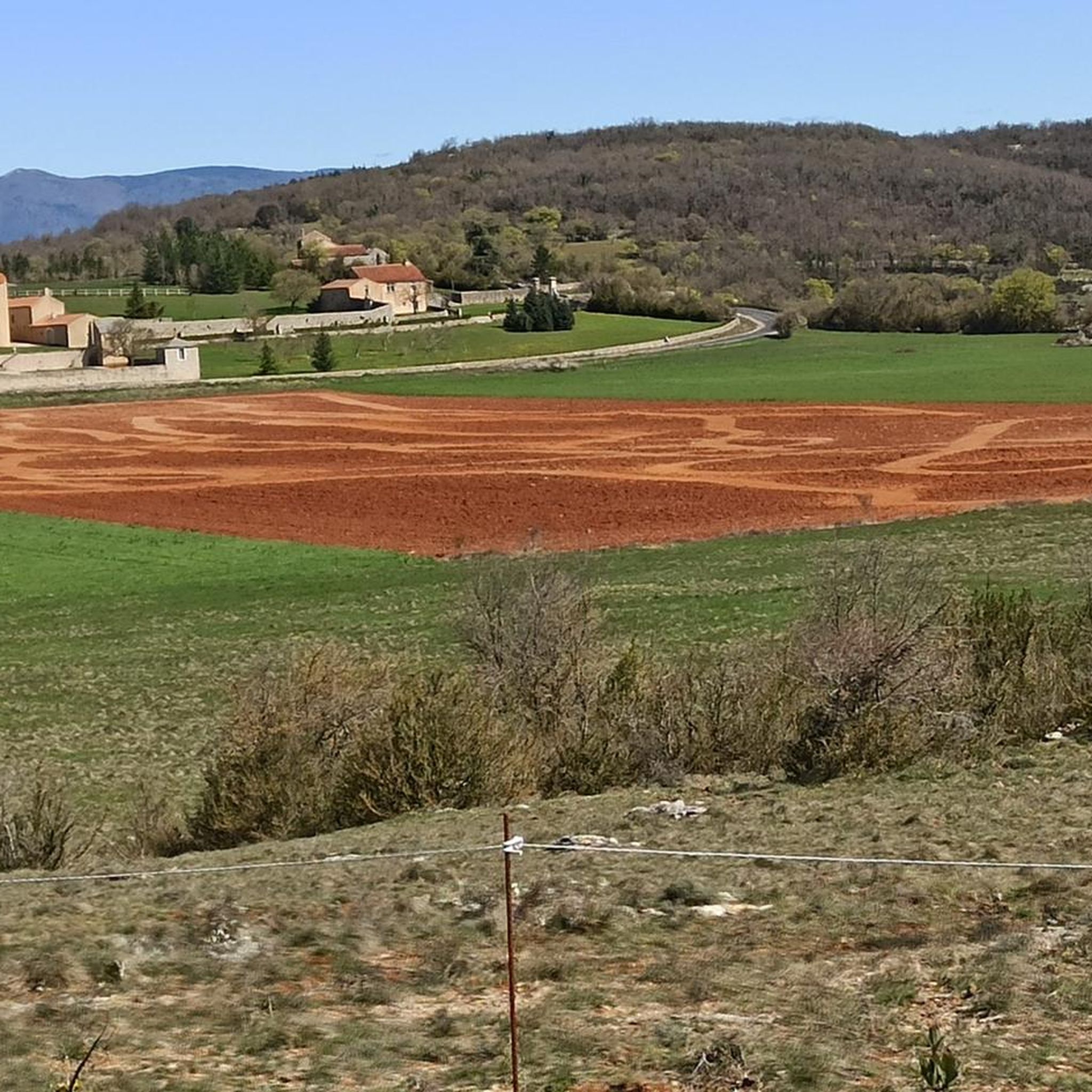
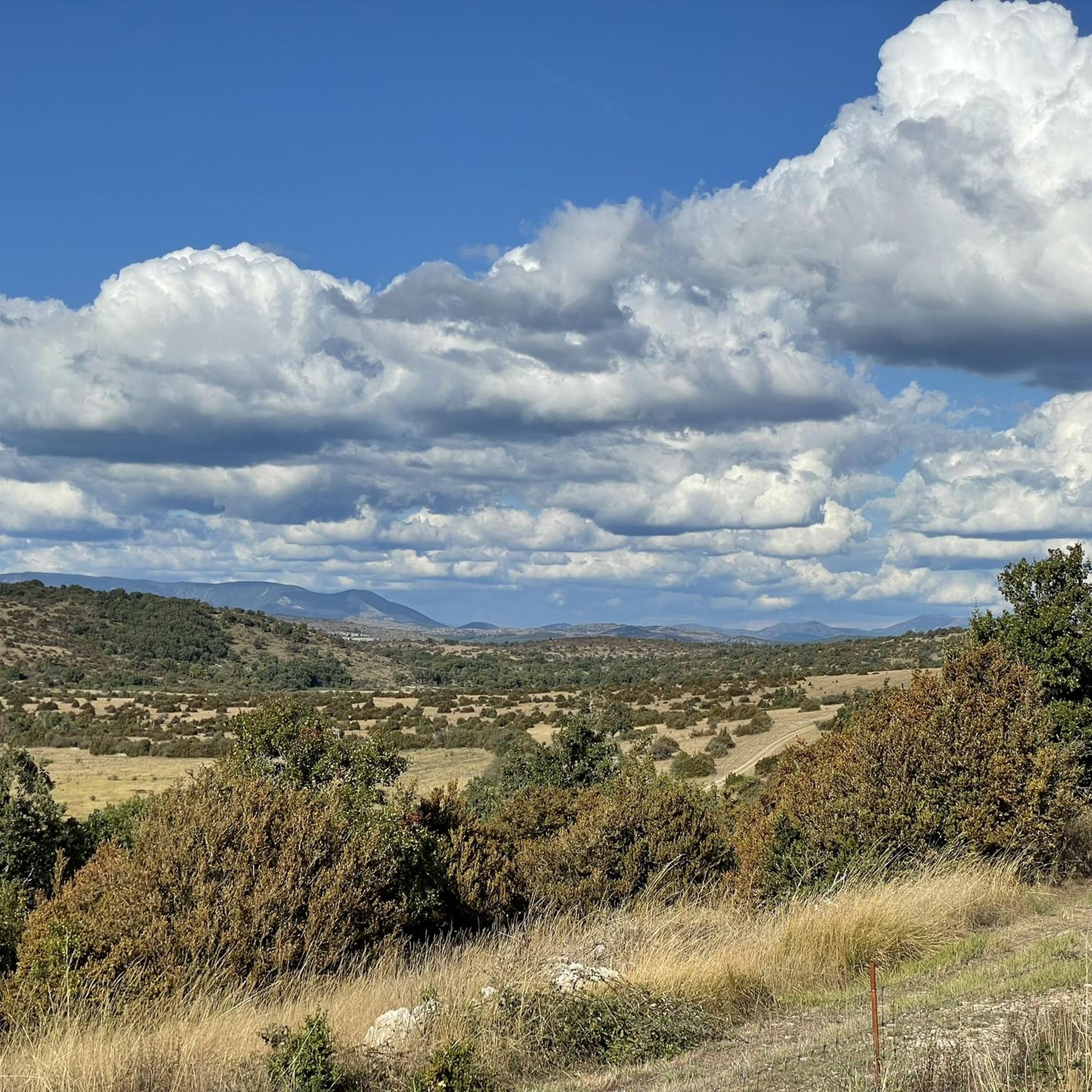
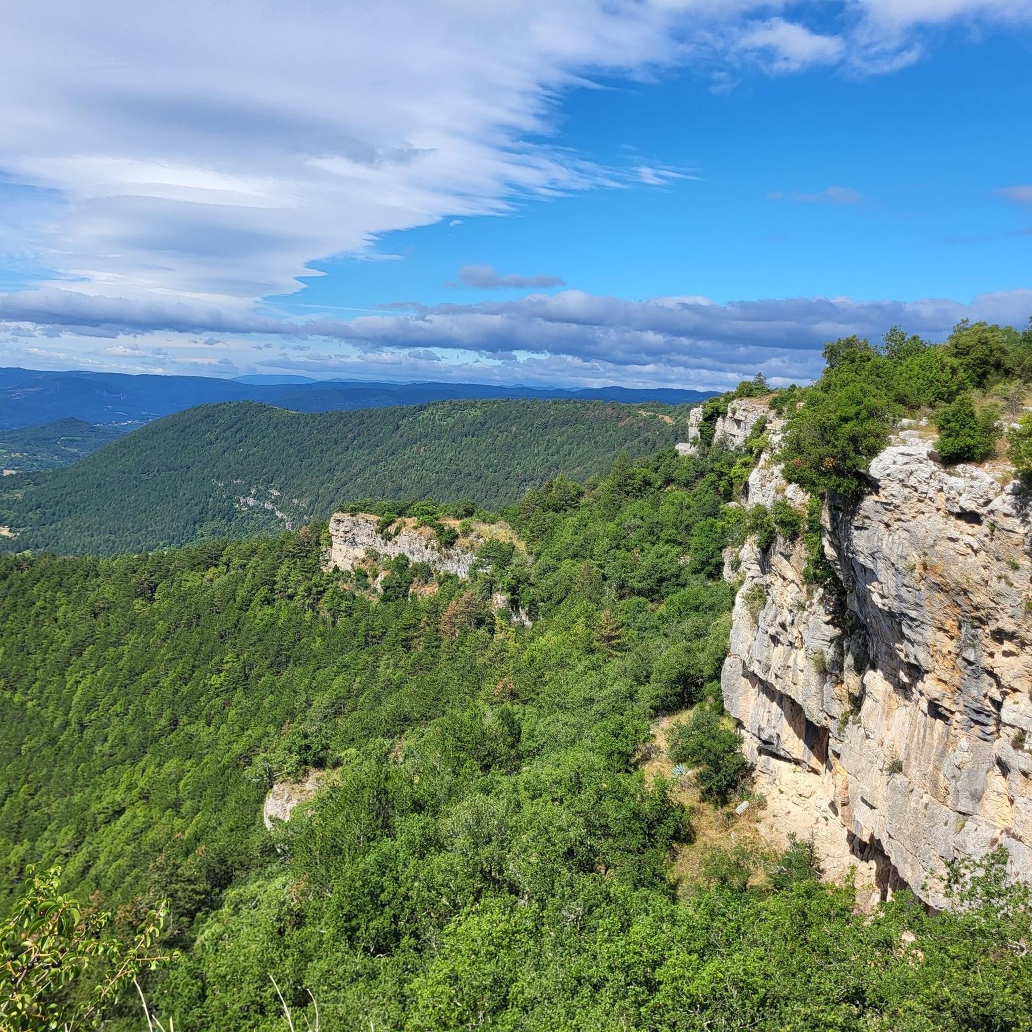
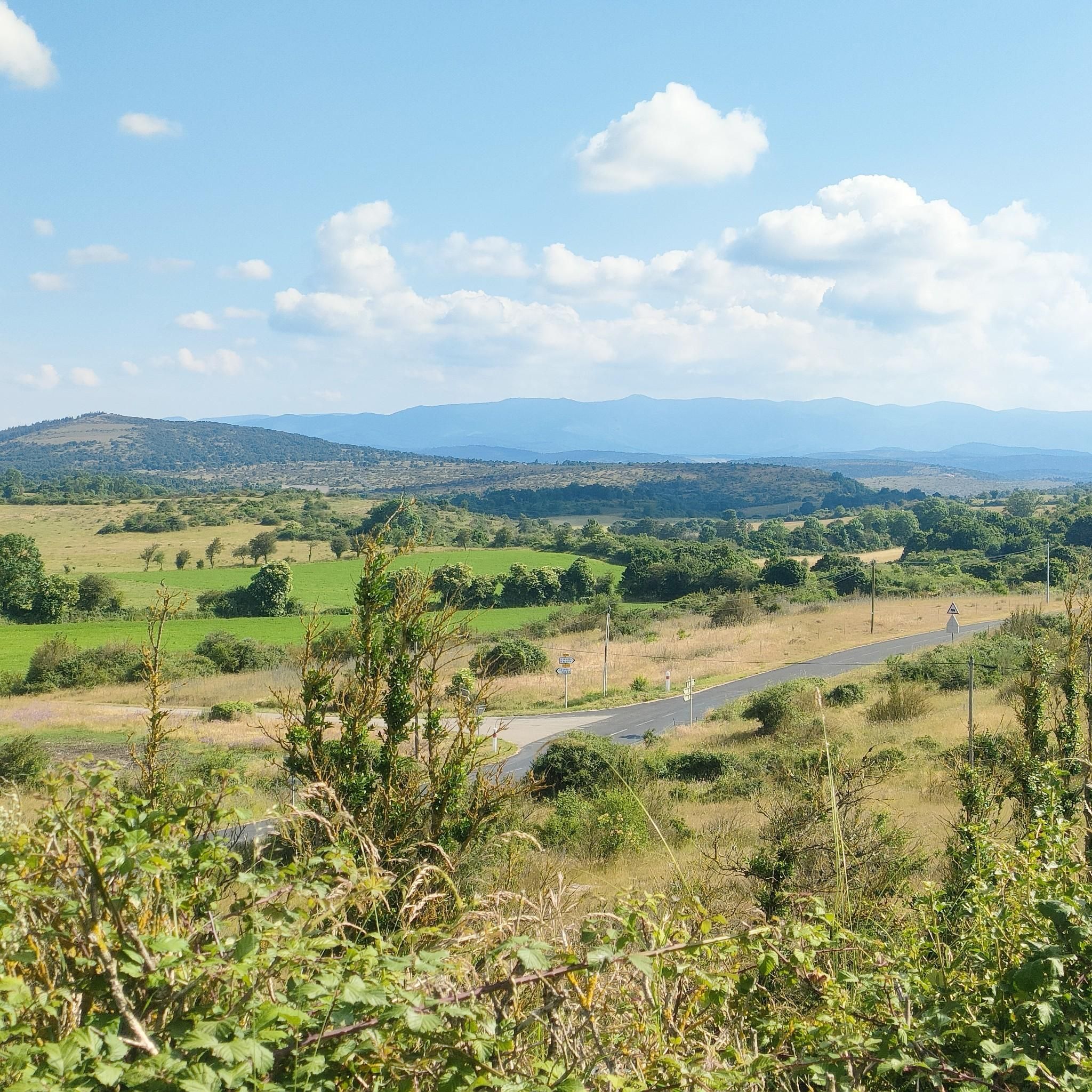

Tips from the Community


From here, you enjoy a breathtaking view of the town of La Couvertoirade. We appreciate how the historic buildings blend into an unrivaled natural setting.
0
0

Placed in the heart of the Larzac plateau, the Cité de La Couvertoirade has the aura of these legendary villages where the tumults of history and the peaceful beauty of a preserved region intermingle. Here, a thousand years of history welcome you. https://lacouvertoirade.com
1
1

The Roc Castel dominates the Caylar from its 70m high and offers a magnificent panorama.
0
0

Brasserie & sandwiches-meals in a particularly cute and relaxing place
1
0
Magnificent view of the Couvertoirade.
0
1
Frequently Asked Questions
What types of hiking experiences can I expect in Saint-Michel?
Saint-Michel offers two distinct hiking environments: the unique tidal bay surrounding Mont Saint-Michel and the mountainous terrain of Pic Saint-Michel in the Vercors region. You can find coastal paths, vast mudflats, and even guided bay crossings near Mont Saint-Michel, or explore alpine pastures, forest tracks, and rocky plateaus with panoramic views in the Vercors.
Are there many hiking trails available in Saint-Michel?
Yes, the Saint-Michel region boasts a wide variety of hiking options. There are over 120 routes recorded on komoot, catering to different preferences and skill levels. These include easy strolls, moderate treks, and more challenging ascents.
What is the best time of year to go hiking in Saint-Michel?
The best time depends on your preferred landscape. For the Mont Saint-Michel bay, spring and autumn offer pleasant temperatures and fewer crowds, though summer is also popular. Always check tide times. For Pic Saint-Michel, late spring to early autumn provides the best conditions for mountain hiking, avoiding snow and ice at higher elevations.
Are there any family-friendly hiking options in Saint-Michel?
Yes, both regions offer family-friendly options. Near Mont Saint-Michel, guided bay crossings often include shorter, two-hour family excursions. In the Pic Saint-Michel area, the loop hike to the summit is considered suitable for families with children around 7 years old, featuring diverse terrain and moderate difficulty.
Can I bring my dog on the hiking trails in Saint-Michel?
While many trails in natural areas are dog-friendly, specific rules can vary. In the Mont Saint-Michel bay, guided crossings may have restrictions for dogs due to safety and environmental concerns. For mountain trails around Pic Saint-Michel, dogs are generally allowed but should be kept on a leash, especially in pastures or near wildlife. Always check local signage.
Are there any circular hiking routes in Saint-Michel?
Yes, many routes in the region are designed as loops. For example, the La Vacqueroise – Col du Jouquet loop from La Vacquerie-et-Saint-Martin-de-Castries is a moderate 7.6 km circular path. Another option is the easier Col du Jouquet – La Vacqueroise loop from Saint-Pierre-de-la-Fage, covering about 6.7 km.
What are some notable natural attractions or landmarks I can see while hiking?
The region offers stunning natural sights. Near Mont Saint-Michel, the dramatic tidal bay itself is a major attraction, with its vast mudflats and the iconic Mont. In the wider Saint-Michel area, you can discover impressive geological formations like the Cirque de Navacelles, a spectacular canyon, and the beautiful La Vis Waterfall in Navacelles. Panoramic viewpoints like The Blandas Viewpoints offer breathtaking vistas of these natural wonders.
What should I know about safety when hiking in the Mont Saint-Michel bay?
Hiking in the Mont Saint-Michel bay requires caution due to extreme tides and areas of quicksand. It is highly recommended to join a guided excursion for bay crossings to ensure safety and learn about the unique environment. Tides can come in very quickly, so never venture out alone without local knowledge or a guide. For more information on activities, you can visit visit-mont-saint-michel.com.
Are there any historical pilgrim routes in the Saint-Michel region?
Yes, the region is rich in history, featuring the 'Chemins du Mont Saint-Michel,' which are historical hiking trails retracing old pilgrim ways. These routes, such as the Chemins de Cherbourg and Barfleur, lead to Mont Saint-Michel through unspoiled landscapes, offering a unique blend of nature and heritage. You can find more details on these paths at manche-tourism.com.
What do other hikers say about the trails in Saint-Michel?
The trails in Saint-Michel are highly regarded by the komoot community, with an average rating of 4.6 stars from nearly 950 reviews. Hikers often praise the diverse landscapes, from the unique coastal environment of Mont Saint-Michel to the panoramic alpine views of Pic Saint-Michel, and the variety of routes suitable for all abilities.
Are there challenging hikes for experienced hikers?
Yes, Saint-Michel offers challenging routes for experienced hikers, particularly in the mountainous Pic Saint-Michel area. While the guide lists 26 difficult routes, these often involve significant elevation gains and varied terrain. For instance, the Hiking loop from La Vacquerie-et-Saint-Martin-de-Castries is a moderate route with notable elevation gain, providing a good workout.
Is public transport available to reach hiking trailheads?
Public transport options vary depending on the specific trailhead. For Mont Saint-Michel, shuttle buses operate from parking areas to the Mont. For trails in more remote areas, especially around Pic Saint-Michel, public transport might be limited, and a car is often recommended for easier access to trailheads.
Where can I find parking for hiking trails in Saint-Michel?
Parking is generally available near popular trailheads and attractions. For Mont Saint-Michel, designated paid parking areas are located a short distance from the Mont, with shuttle services connecting to the site. In the Pic Saint-Michel region and other rural areas, you can often find free or designated parking spots at village centers or specific starting points for trails.
Most popular attractions around Saint-Michel

Get inspired with the komoot mobile app


Explore more
Browse the best Hikes in other regions.
