The best walks and hikes around Saligos
4.4
(3213)
32,133
hikers
300
hikes
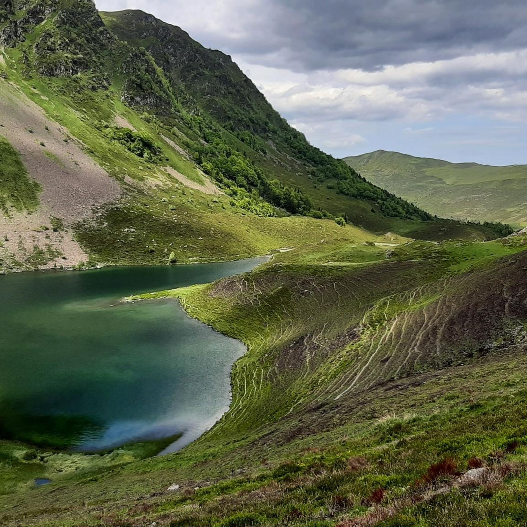
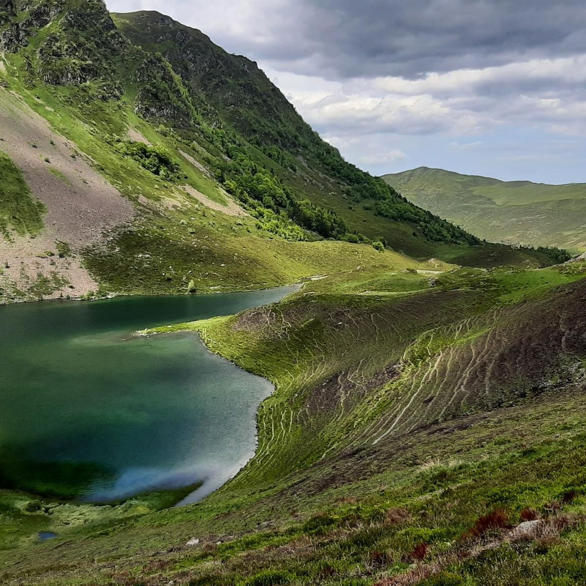
Hiking around Saligos offers access to diverse mountainous terrain within the Hautes-Pyrénées department of south-western France. The region features elevations ranging from 596 to 2,390 meters, providing a variety of trails through deep valleys and mountain passes. Proximity to the Pyrenees National Park ensures significant mountain scenery, including natural features such as alpine lakes and waterfalls. The landscape is characterized by varied topography, offering a wide range of hiking experiences.
Best hiking trails around Saligos
- The most popular hiking route…
Last updated: October 7, 2026
4.9
(18)
189
hikers
9.90km
03:16
440m
440m
Moderate hike. Good fitness required. Easily-accessible paths. Suitable for all skill levels.
4.7
(15)
65
hikers
5.22km
02:05
390m
400m
Moderate hike. Good fitness required. Easily-accessible paths. Suitable for all skill levels.

4.9
(17)
177
hikers
9.48km
03:08
430m
430m
Moderate hike. Good fitness required. Easily-accessible paths. Suitable for all skill levels.
4.0
(1)
29
hikers
18.2km
07:24
1,210m
1,210m
Hard hike. Very good fitness required. Sure-footedness, sturdy shoes and alpine experience required.
29
hikers
3.07km
00:51
50m
50m
Easy hike. Great for any fitness level. Easily-accessible paths. Suitable for all skill levels.
Get access to more routes and recommendations from other explorers.
Already have an account?
Our route recommendations are based on thousands of hikes, rides, and runs completed by other people on komoot.
Start today with a free account
Your next adventure awaits.

Tips from the Community


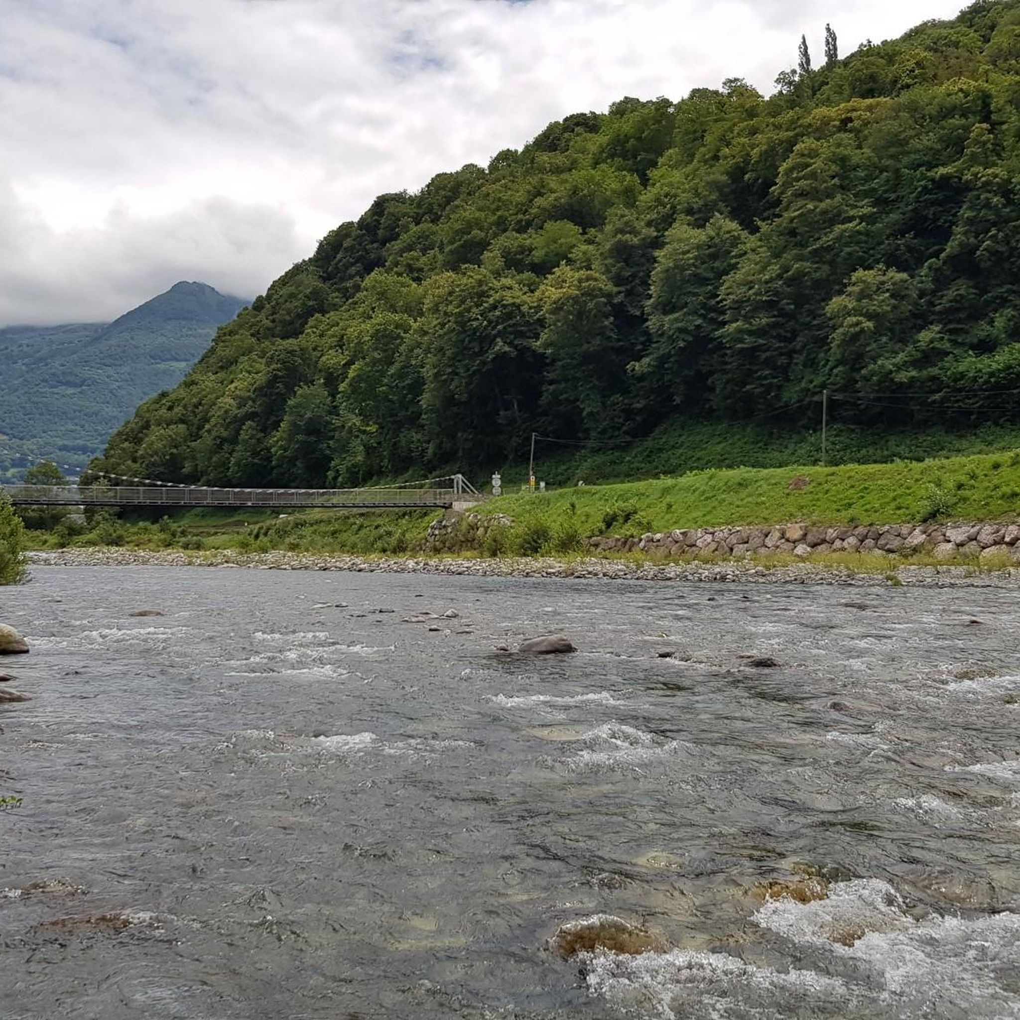
Cool water in the town center
0
0

A beautiful, quiet pass. Easily accessible by mountain bike from Bederet. The trail from here to Cauterets is a dream. A must-do if you're in the area!
0
0

starting point to climb the Tourmalet from Luz-St-Sauveur
1
0

Town where you can settle down to do various bicycle routes and climb some of the mythical (and not so well-known) passes and Pyrenean peaks. Below I leave you a list: Tourmalet, Luz Ardiden, Cirque du Troumousse, Col des Tentes, Plateau de Saugué, Pont d'Espagne, Cambasque, Hautacam, Col des Borderes, Col de Soulor, Col d'Aubisque, Col des Spandelles.
0
0

Restaurants and stores
0
0

Luz-Saint-Sauveur is a lively and welcoming town in the French Pyrenees. Its strategic location makes it a key crossing point to reach several valleys. Particularly welcoming, the town has no shortage of accommodation and dining options.
0
0

Luz-Saint-Sauveur seduces you quickly. This town is not only the starting point of Tourmalet but also an emblem within the Pyrenees. It is located near the Luz Ardiden, Gavarnie and Grand Tourmalet ski resorts.
0
0
Frequently Asked Questions
What kind of terrain can I expect when hiking around Saligos?
Hiking around Saligos offers a diverse mountainous landscape within the Hautes-Pyrénées. You'll encounter significant elevation changes, with altitudes ranging from 596m to 2390m. The region features deep valleys, mountain passes, and areas bordering the Pyrénées National Park, providing varied experiences from rolling hills to more strenuous ascents.
Are there hiking trails for all skill levels in Saligos?
Yes, Saligos caters to all skill levels. With over 290 routes available, you'll find approximately 90 easy trails for leisurely walks, around 135 moderate excursions with steady climbs, and over 60 more challenging paths for experienced hikers seeking significant elevation changes.
Are there family-friendly hiking options around Saligos?
Absolutely. For families, there are numerous easy walks through undulating hills and charming villages. A good option to consider is the Luz-Saint-Sauveur – Carrous'ailes loop from Grust, which is rated as easy and offers a pleasant experience without excessive difficulty.
Can I find circular hiking routes in Saligos?
Yes, many routes around Saligos are circular. For example, the Grust Village loop from Grust is a popular moderate circular trail that takes you through picturesque village surroundings. Another moderate option is the Grust Village – Viscos loop from Grust.
What natural features or landmarks can I see along the hiking trails?
The region is rich in natural beauty. You can discover stunning alpine lakes like Lac Dets Coubous and Lake Isaby. There are also beautiful waterfalls such as Boussès Waterfall, Pas de l'Ours Waterfall, and Pouey Bacou Waterfall. For panoramic views, consider trails leading to summits like Cabaliros Peak.
Are there any challenging hikes around Saligos?
Yes, for experienced hikers, Saligos offers several challenging routes. The Rock / climbing – Riou Pass loop from Chèze is a difficult 18.2 km trail with significant elevation gain, perfect for those seeking a strenuous mountain adventure. The region's proximity to iconic passes like Col du Tourmalet also means opportunities for demanding ascents.
What is the best time of year to hike in Saligos?
The best time to hike in Saligos is generally from late spring through early autumn (May to October). During these months, the weather is typically mild, and the trails are clear of snow, allowing access to higher altitudes and alpine lakes. Summer offers warmer temperatures, while spring and autumn provide vibrant flora and quieter paths.
Is Saligos a good area for wildlife spotting?
Given its proximity to the Pyrénées National Park, Saligos is an excellent area for wildlife spotting. Hikers often have the chance to observe local fauna such as marmots, chamois, and various bird species, including griffon vultures, especially in the more remote mountainous areas and glacial cirques.
What do other hikers enjoy most about hiking in Saligos?
The area is highly rated by the komoot community, with an average score of 4.5 stars from over 2,500 reviews. Hikers frequently praise the diverse mountainous terrain, the stunning natural features like lakes and waterfalls, and the wide range of trails suitable for different abilities, from easy walks to challenging ascents.
Are there any specific trails that offer views of the famous glacial cirques?
While Saligos itself is not directly within the cirques, its strategic location provides access to trails that offer views or lead to these magnificent formations. The region is close to the renowned Cirque de Gavarnie, Cirque de Troumouse, and Cirque d'Estaubé, which are major attractions in the Hautes-Pyrénées and can be explored via dedicated routes from nearby starting points.
Most popular attractions around Saligos

Get inspired with the komoot mobile app


Explore more
Browse the best Hikes in other regions.
