The best road cycling routes around Altiani
4.3
(43)
690
riders
20
rides
Road cycling around Altiani offers a diverse landscape characterized by the Tavignano valley and the central mountain chain, providing views towards the Tyrrhenian Sea. The terrain features winding roads through varied vegetation, from sparse scrub and cork oaks to lush maquis, pine, and oak trees. Elevations like Punta Muracinto (645 m) and Punta Cervio (1,189 m) contribute to the region's mountainous profile, presenting challenging climbs and descents. The Tavignano river flows through the commune, adding to the scenic routes available…
Last updated: July 12, 2026
5.0
(5)
64
riders
56.2km
03:16
1,310m
1,310m
Hard road ride. Very good fitness required. Mostly well-paved surfaces and easy to ride.
5.0
(1)
39
riders
62.5km
03:24
1,270m
1,270m
Hard road ride. Very good fitness required. Mostly well-paved surfaces and easy to ride.

Sign up for free
4.3
(4)
45
riders
39.6km
02:24
960m
960m
Hard road ride. Very good fitness required. Some segments of this route may be unpaved and difficult to ride.
5.0
(1)
34
riders
36.2km
01:54
640m
640m
Moderate road ride. Good fitness required. Some segments of this route may be unpaved and difficult to ride.
11
riders
55.0km
03:23
1,440m
1,440m
Hard road ride. Very good fitness required. Mostly well-paved surfaces and easy to ride.
Get access to more routes and recommendations from other explorers.
Sign up for free
Already have an account?
Our route recommendations are based on thousands of hikes, rides, and runs completed by other people on komoot.
Start today with a free account
Your next adventure awaits.
Login or Signup
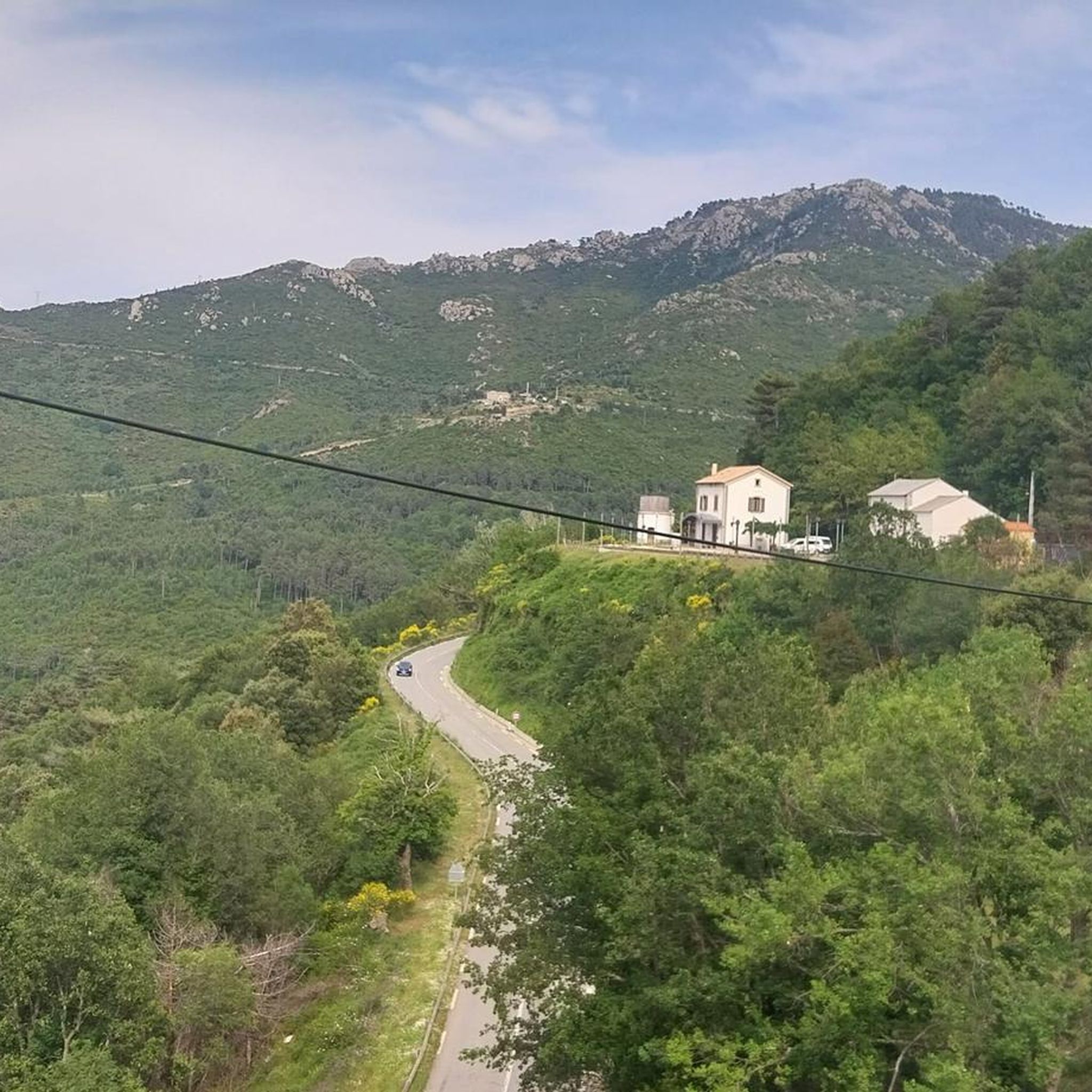
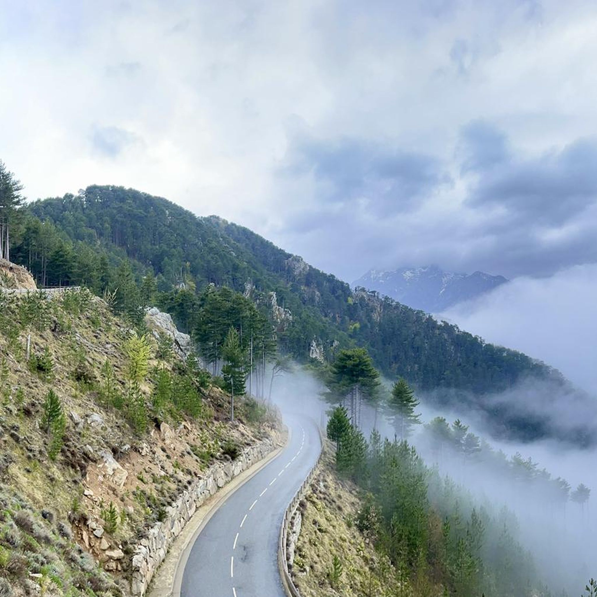
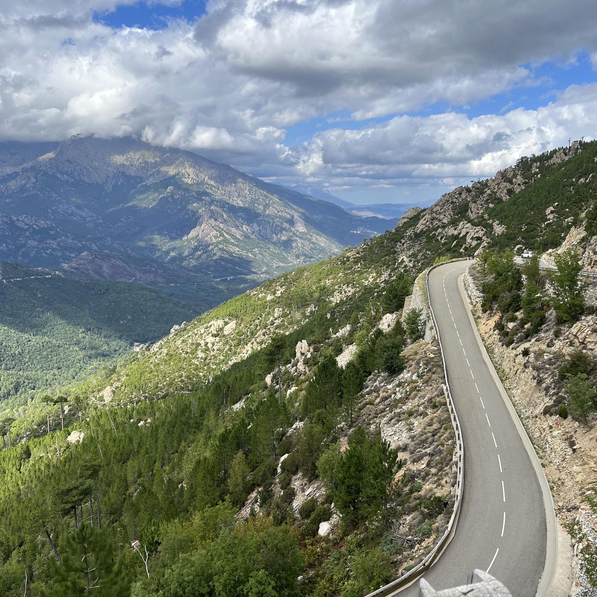
Tips from the Community


The Route Forestière 6 was a road in Corsica established in 1854 by the Décret Imperial 1782. It was built to develop one of Corsica's forests for the timber industry. Operated by the state, it had the status of a national road. The F6 branched off from the National Road 198 south of Aléria and led to Vivario. It was 45 kilometers long. It was downgraded in 1973.
1
0
The Vecchio rises on the Monte d'Oro and is initially called Agnone. This river is best known for its Cascades des Anglais, which attract hundreds of tourists every day in high season. From the hamlet of Vizzavona onwards, the river is called Vecchio and you only meet very few people. Shortly after entering Canaglia, it joins the Manganello. Here the Vecchio valley becomes very lonely. On the right-hand side, far above the riverbed, the railway line winds its way along the hills, barely visible. You don't notice the busy T20, which lies behind the hills. You only see it when you get off at the Ponte Vecchio. High above us, it crosses the Vecchio valley on the new bridge. Later, the Vecchio flows into the Tavignano, which reaches the sea near Aléria.
1
0

Not far from the center of Corte, the Tavignanu and Restonica rivers flow together. There is a lovely bathing area under the pedestrian bridge. There is a parking lot right next to the bridge.
0
0

Very nice route in the forest, in the shade. A little more technical on the ridge with some passages in the rocks and downhill, a little slippery. Beautiful views.
1
0


The Nuceta bridge spans Le Vecchio. This river reveals an idyllic setting, ideal for a swim. It is not uncommon to come across families and children with their feet in the water in this little corner of paradise!
0
1

Frequently Asked Questions
What is the typical terrain for road cycling around Altiani?
Road cycling around Altiani features a diverse and mountainous landscape, with winding roads through the Tavignano valley and the central mountain chain. You'll encounter varied vegetation, from sparse scrub and cork oaks to lush maquis, pine, and oak trees. Elevations like Punta Muracinto (645 m) and Punta Cervio (1,189 m) contribute to challenging climbs and descents, offering views towards the Tyrrhenian Sea.
Are there many challenging road cycling routes in the Altiani area?
Yes, the routes around Altiani are predominantly difficult, with significant elevation gains. For example, the Nuceta Bridge – Altiani Bridge loop from Venaco covers 78.8 km with over 1400 meters of elevation gain. Another challenging option is the Fontaine - Fountain – Nuceta Bridge loop from Caselle, a 57.9 km route with nearly 1200 meters of ascent.
What kind of landmarks or points of interest can I see while road cycling near Altiani?
The region offers several historical and natural points of interest. You can cycle past the 14th-century Genoese Nuceta Bridge over the Tavignano river, which is also known as Pont d'Altiani. Other notable features include various mountain passes like Col de Sorba and Perelli Pass, offering scenic viewpoints. The area also borders the Regional Natural Park of Corsica, providing access to protected natural beauty.
Are there any moderate road cycling routes available around Altiani?
While many routes are difficult, there are some moderate options. The Nuceta Bridge – Venaco loop from Venaco is a moderate 25.3 km route with over 570 meters of elevation gain, offering a less strenuous but still scenic experience.
What do other road cyclists say about the routes in Altiani?
The road cycling routes in Altiani are highly rated by the komoot community, with an average score of 4.2 stars from over 30 reviews. Cyclists often praise the varied terrain, the challenging climbs, and the breathtaking views of the Corsican landscape, including glimpses of the Tyrrhenian Sea.
Can I find circular road cycling routes starting from Altiani or nearby villages?
Yes, many of the road cycling routes around Altiani are designed as loops, allowing you to start and finish in the same location. Examples include the Nuceta Bridge – Altiani Bridge loop from Venaco and the Morello Pass – View of Vivario loop from Caselle, which offer comprehensive tours of the region's diverse landscapes.
What is the best time of year for road cycling in Altiani?
Corsica generally offers good cycling conditions for much of the year. Given Altiani's mountainous terrain, spring and autumn are often ideal, providing pleasant temperatures and avoiding the peak summer heat. These seasons also showcase the region's diverse vegetation at its best.
Are there any specific viewpoints or scenic roads to look out for?
Absolutely. The region is known for its extensive panoramas. Roads leading to and from mountain passes like Col de Sorba and Perelli Pass often provide stunning vistas. The Morello Pass – View of Vivario loop from Caselle specifically highlights a 'View of Vivario', indicating a scenic section.
Are there any river swimming spots or natural cooling-off points along the cycling routes?
Yes, the Tavignano river flows through the commune for 5 km, and you might find spots to cool down. Notably, there's a Vecchio River Swimming Spot and a Manganello River Cascade mentioned as nearby attractions, which could be refreshing stops on a longer ride.
What are the road surface conditions generally like for cycling in Altiani?
The winding roads through Altiani's diverse landscapes can vary in surface quality. While main routes are generally well-maintained, some smaller, more remote roads, especially those in the wilder Boziu micro-region, might have older surfaces. It's always advisable to check recent reviews or local conditions if you plan to venture off the main arteries.
Is Altiani a good base for exploring other parts of central Corsica by road bike?
Yes, Altiani is situated in central Corsica, with Corte, a hub for outdoor adventures, located nearby. This makes it an excellent base for exploring the wider region, including the Gorges de la Restonica and other mountainous areas, offering numerous cycling routes beyond the immediate vicinity of Altiani.
Are there any options for electric bike adventures in the Altiani region?
Yes, the presence of 'electric bike adventures' in the region suggests that e-bike rentals or guided tours are available. This can make the challenging mountainous terrain more accessible for a wider range of abilities, allowing more cyclists to enjoy the scenic routes around Altiani.
Most popular routes around Altiani
Most popular attractions around Altiani

Get inspired with the komoot mobile app


Explore more
Browse the best Road cycling routes in other regions.
