The best running trails around Le Chambon
3.8
(6)
213
runners
25
runs
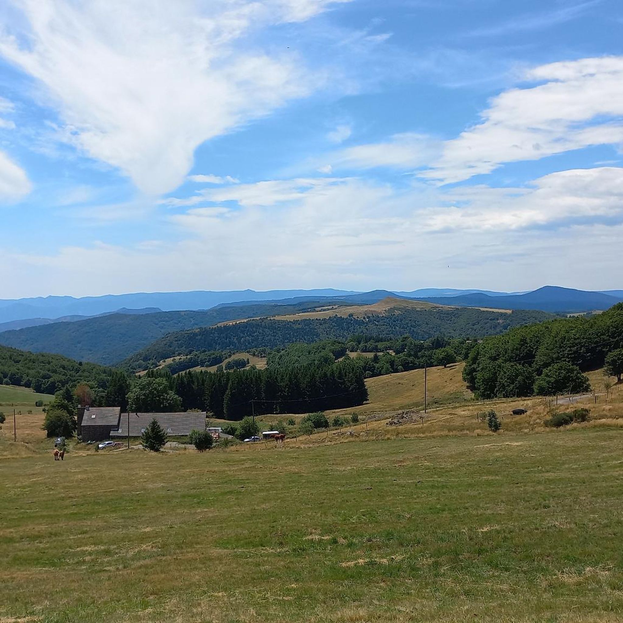
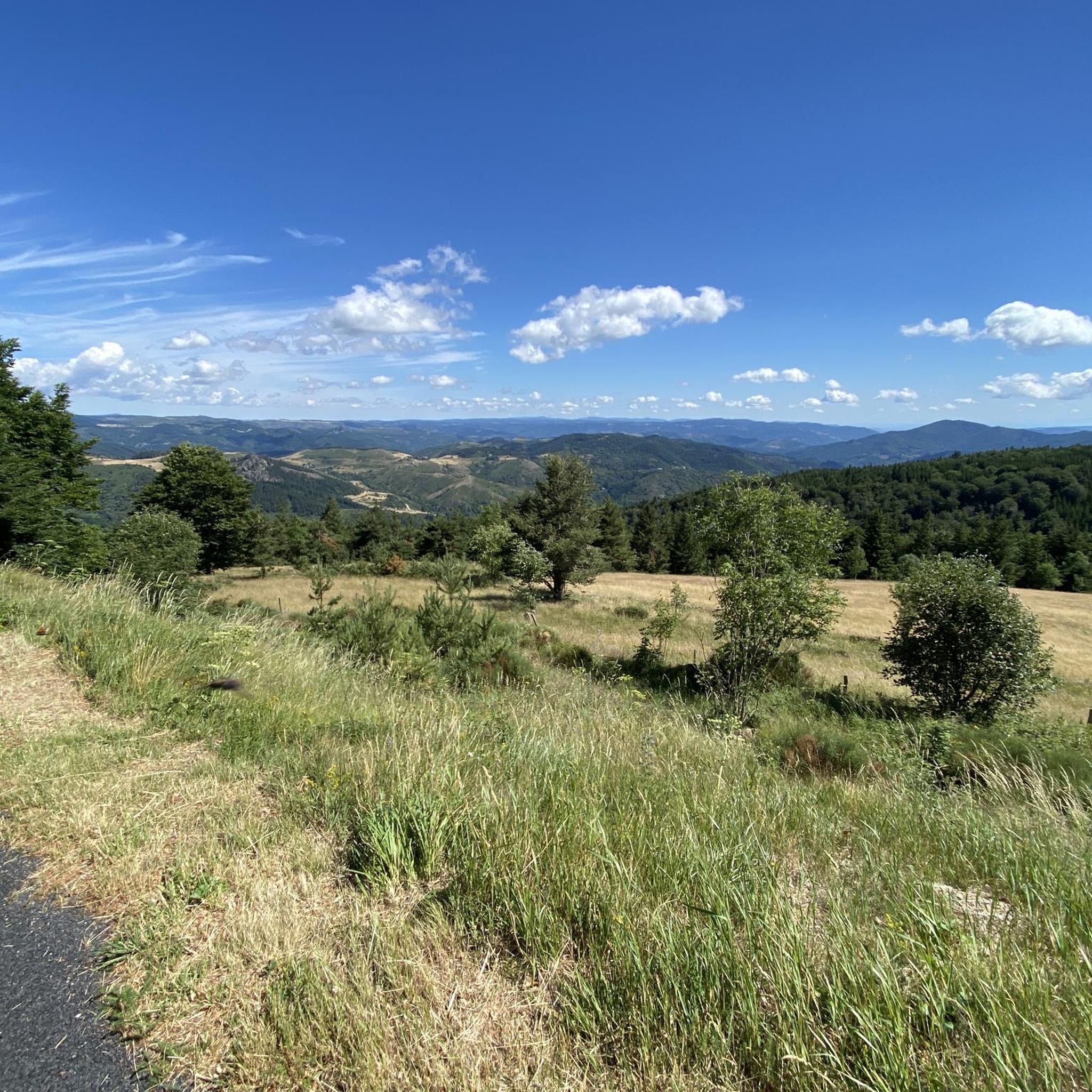
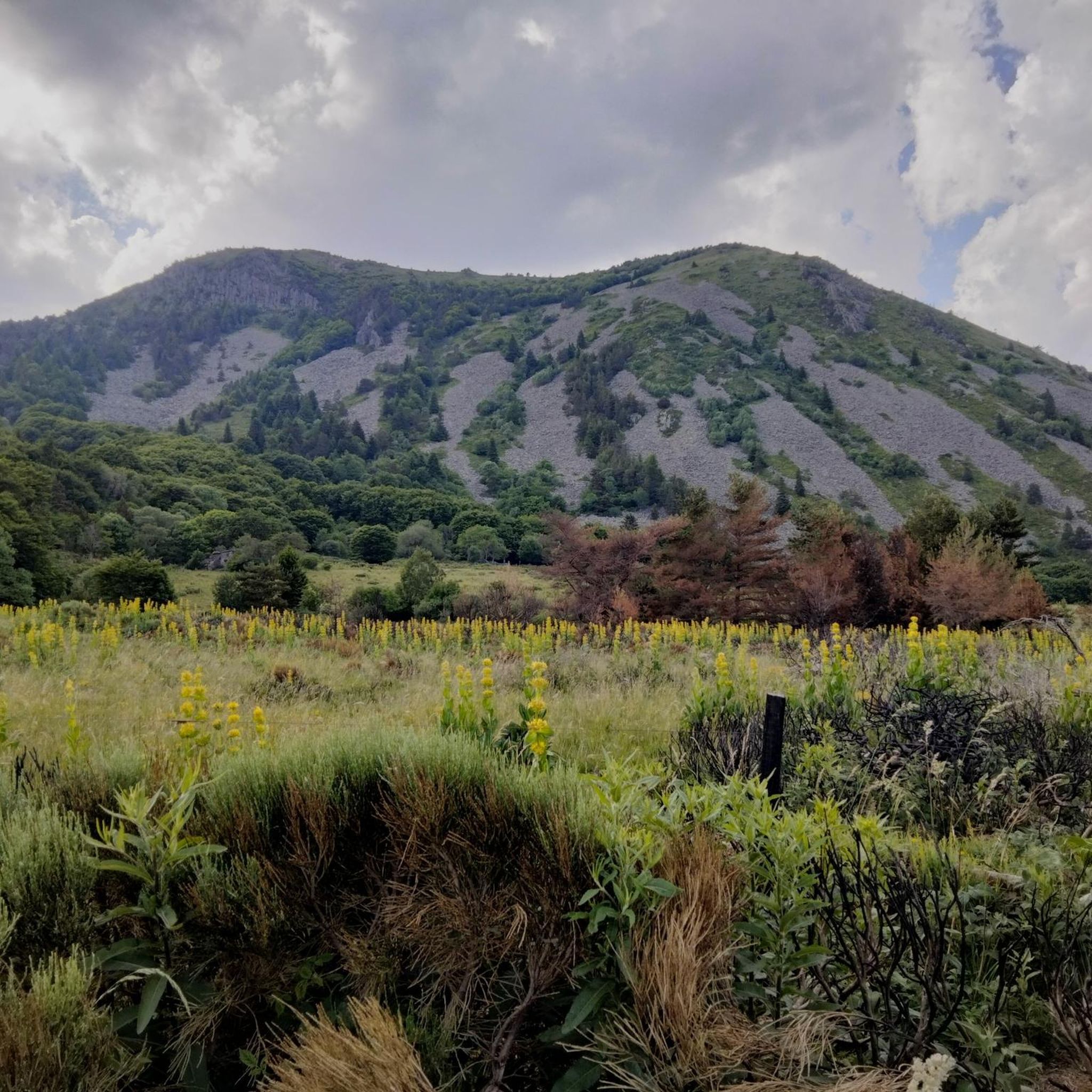
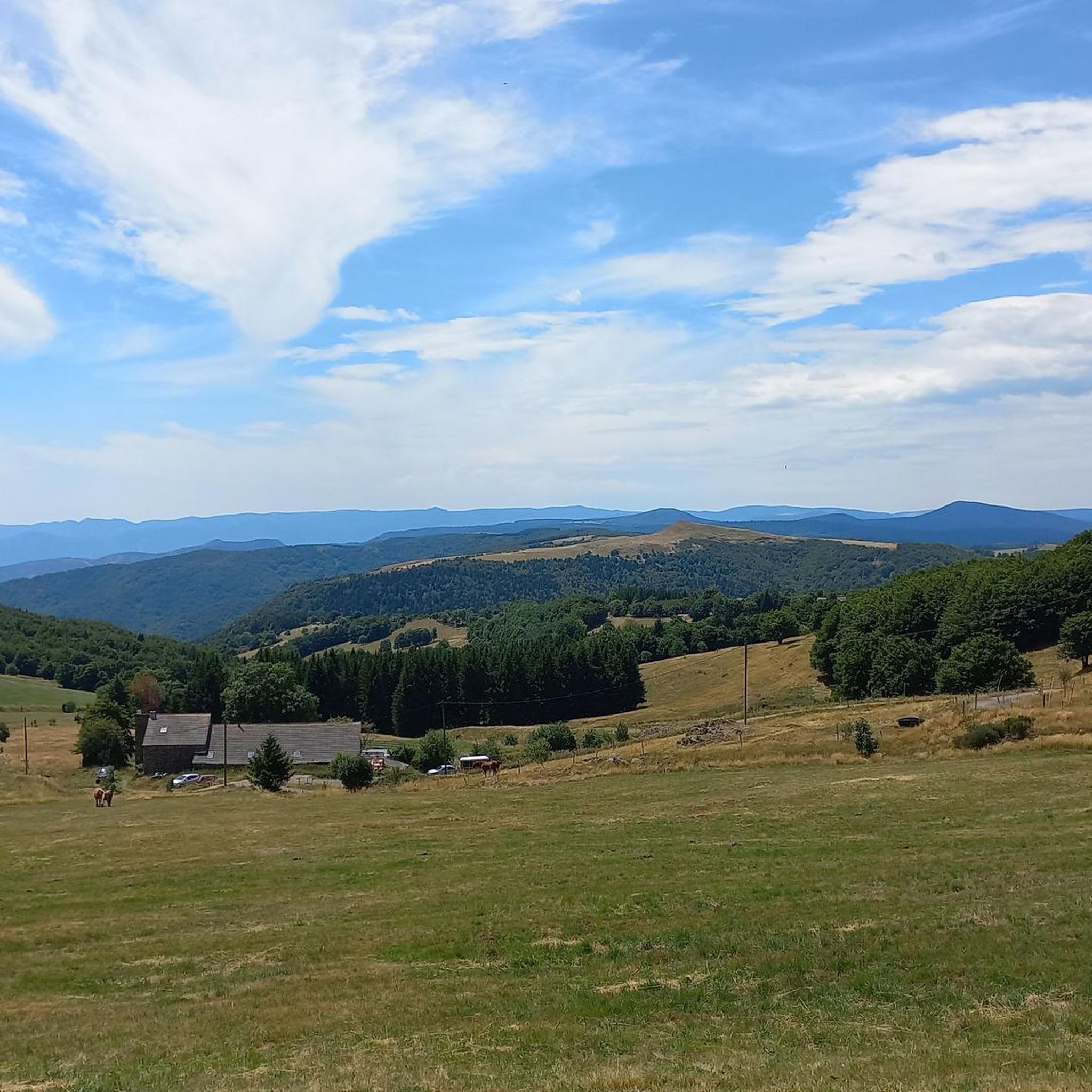
Jogging around Le Chambon offers a mid-mountain environment within the Vivarais Mountains, characterized by elevations between 874 and 1,139 meters. The region features diverse landscapes, including pine forests, groves, and paths along the River Lignon. Runners can find a range of terrains, from mostly paved surfaces to more challenging trails requiring good physical condition. The Plateau Vivarais-Lignon provides an expansive natural setting for exploration.
Best jogging routes around Le Chambon
- The most popular jogging route is Suc de la Lauzière…
Last updated: June 29, 2026
5.0
(1)
18
runners
20.5km
02:35
490m
490m
Hard run. Very good fitness required. Mostly paved surfaces. Suitable for all skill levels.
5
runners
8.91km
01:00
210m
200m
Moderate run. Good fitness required. Mostly paved surfaces. Suitable for all skill levels.

Sign up for free
5
runners
14.2km
01:50
540m
540m
Hard run. Very good fitness required. Mostly paved surfaces. Suitable for all skill levels.
5
runners
15.1km
02:01
640m
640m
Hard run. Very good fitness required. Mostly accessible paths. Some sure footedness required.
6
runners
7.79km
00:52
160m
160m
Moderate run. Good fitness required. Mostly paved surfaces. Suitable for all skill levels.
Get access to more routes and recommendations from other explorers.
Sign up for free
Already have an account?
Our route recommendations are based on thousands of hikes, rides, and runs completed by other people on komoot.
Start today with a free account
Your next adventure awaits.
Login or Signup
Tips from the Community

Anyone who wants to stop for a bite to eat should stop here. There are few alternatives. A Grand Café Creme and a generous sandwich for 8 euros.
1
1

The Suc de la Lauzière is an ancient volcano which peaks at an altitude of 1,582 metres. From its summit, you can observe Mont Gerbier de Jonc, well known for providing the source of the Loire.
1
0

The Col de Mézilhac from Le Cheylard is a frequent ascent in the Ardéchoise, a cyclosportive in June. The climb is 22 km long with a total elevation gain of 700 m. The average gradient is 3.18% with maximum gradients of 7.5%.
2
0
Frequently Asked Questions
How many running routes are available around Le Chambon-sur-Lignon?
There are over 20 running routes documented on komoot around Le Chambon-sur-Lignon, offering a variety of options for different fitness levels and preferences. These routes explore the diverse mid-mountain environment of the Vivarais Mountains.
What kind of terrain can I expect on the jogging trails in Le Chambon-sur-Lignon?
The terrain around Le Chambon-sur-Lignon is quite varied, reflecting its mid-mountain setting. You'll find everything from mostly paved surfaces suitable for all fitness levels to more challenging accessible paths and trails requiring good physical condition and sure-footedness. The landscape features pine forests, groves, and paths along the River Lignon.
Are there any easy or moderate running routes for beginners in the area?
Yes, while some routes are challenging, there are moderate options available. For example, the Running loop from Saint-Martial is a moderate 5.5-mile (8.9 km) path that offers an accessible option through the local landscape, often following natural paths. Another moderate choice is the Table d'interprétation loop from Lachamp-Raphaël, which is about 4.8 miles (7.8 km).
What are some scenic landmarks or natural attractions I might see while running near Le Chambon-sur-Lignon?
The region is rich in natural beauty. While jogging, you might encounter sights like the picturesque River Lignon. Nearby attractions include the impressive Ray-Pic Waterfall, the unique Tchier de Borée, or the prominent Mount Gerbier de Jonc. These highlights offer stunning views and points of interest along your run.
Are there any long-distance running trails for experienced runners?
Absolutely. For those seeking a longer challenge, routes like the Suc de la Lauzière loop from Sainte-Eulalie span 12.7 miles (20.5 km) with significant elevation gain. Another demanding option is the Suc de Montivernoux – Col de Mézilhac (1,119 m) loop from Mézilhac, which is about 9.4 miles (15.1 km) and features considerable elevation changes.
What do other runners say about the trails in Le Chambon-sur-Lignon?
The running routes in Le Chambon-sur-Lignon are generally well-regarded by the komoot community, holding an average score of 3.0 stars from over 4 reviews. Many of the 170+ runners who have explored the area appreciate the varied mid-mountain terrain, the natural beauty of the pine forests, and the paths along the River Lignon.
Are there circular running routes available?
Yes, many of the routes in the area are designed as loops, allowing you to start and finish at the same point. Examples include the Suc de la Lauzière loop from Sainte-Eulalie, the Running loop from Saint-Martial, and the Col de Mézilhac (1,119 m) loop from Lachamp-Raphaël.
Is Le Chambon-sur-Lignon a good place for trail running?
Absolutely. The region's diverse natural landscapes, including pine forests, groves, and varied terrain, make it an excellent destination for trail running. The 'Chambon Station Tous Publics' even offers specific trail circuits with amenities, indicating a strong focus on nature running.
What is the best time of year to go running in Le Chambon-sur-Lignon?
Le Chambon-sur-Lignon, situated between 874 and 1,139 meters above sea level, offers a refreshing mid-mountain environment. While specific seasonal advice isn't provided, the varied terrain and natural features suggest that spring, summer, and autumn would be ideal for enjoying the trails, with summer offering shaded routes through forests. Winter might present more challenging conditions due to elevation.
Are there any specific facilities or amenities for runners in the area?
Yes, the 'Chambon Station Tous Publics' is noted for offering specific trail circuits ideal for nature running. It provides amenities such as changing rooms, toilets, and parking, making it a convenient starting point for your run.
Can I find running routes that follow the River Lignon?
Yes, the idyllic environment along the banks of the River Lignon provides picturesque routes for runners. Many trails in the region incorporate sections along the river, offering scenic views and a refreshing experience.
Most popular attractions around Le Chambon

Get inspired with the komoot mobile app


Explore more
Browse the best Running Trails & Routes in other regions.
