The best MTB trails around Öttingen
4.5
(2248)
8,188
riders
195
rides
Mountain biking around Öttingen offers diverse terrain shaped by its location within the Nördlinger Ries meteorite crater. The region features picturesque hills, dense forests, and the Wörnitz River, providing varied landscapes for riders. Mountain bike trails in Öttingen include both gentle riverside paths and more challenging climbs through wooded areas. The unique geological formations of the crater offer distinct riding experiences and panoramic views.
Best mountain bike trails around Öttingen
- The most popular mountain bike trail is Crevasse Alert loop from Rumelange, a 10.2 miles (16.4 km) trail that takes 1 hour 20 minutes to complete. This easy route offers a scenic loop through varied terrain.
- Another top favourite among local mountain bikers is Prince Henri Cave – Mickeymouse Trail loop from Rumelange, a moderate 12.5 miles (20.1 km) path. This route offers a mix of forest paths and open sections.
- Local mountain bikers also love the Descent of the 8 Ways – Flowy Forest Trail loop from Tressange, a 27.6 miles (44.4 km) trail leading through dense forests and hilly sections, often completed in about 3 hours 44 minutes.
- Mountain biking around Öttingen is defined by picturesque hills, dense forests, and the unique Nördlinger Ries landscape. The network offers options for different ability levels, from easy riverside rides to more demanding climbs.
- The routes in Öttingen are highly rated by the komoot community with an average score of 4.4 stars from over 1,900 reviews. More than 8,900 mountain bikers have used komoot to explore Öttingen's varied terrain.
Last updated: October 13, 2026
4.8
(52)
142
riders
38.4km
03:11
600m
600m
Hard mountain bike ride. Good fitness required. Advanced riding skills necessary. Some portions of the route may require you to push your bike.
4.5
(2)
14
riders
16.3km
01:20
240m
250m
Hard mountain bike ride. Great for any fitness level. Advanced riding skills necessary. Some portions of the route may require you to push your bike.

5.0
(4)
15
riders
15.0km
01:23
260m
260m
Moderate mountain bike ride. Great for any fitness level. Advanced riding skills necessary.
1.0
(1)
11
riders
48.2km
04:14
830m
830m
Hard mountain bike ride. Good fitness required. Advanced riding skills necessary. Some portions of the route may require you to push your bike.
4.0
(3)
14
riders
13.0km
00:42
70m
70m
Easy mountain bike ride. Great for any fitness level. Suitable for all skill levels.
Get access to more routes and recommendations from other explorers.
Already have an account?
Our route recommendations are based on thousands of hikes, rides, and runs completed by other people on komoot.
Start today with a free account
Your next adventure awaits.
Tips from the Community

clean to get back on the train. Tip Top!
0
0

A very nice route for gravel riding, a bit technical when it's wet.
0
0

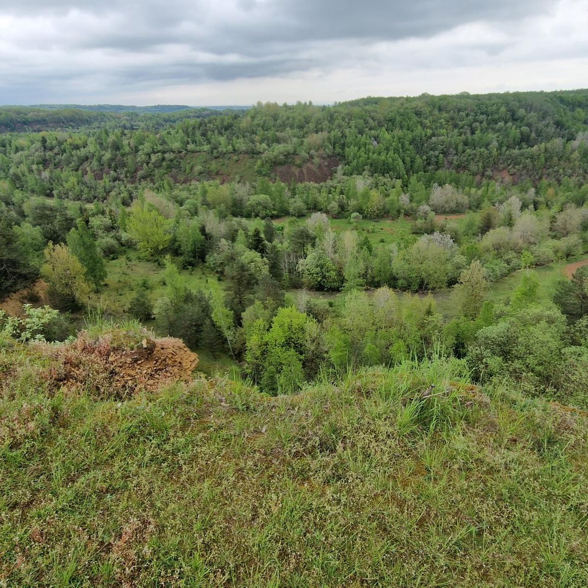
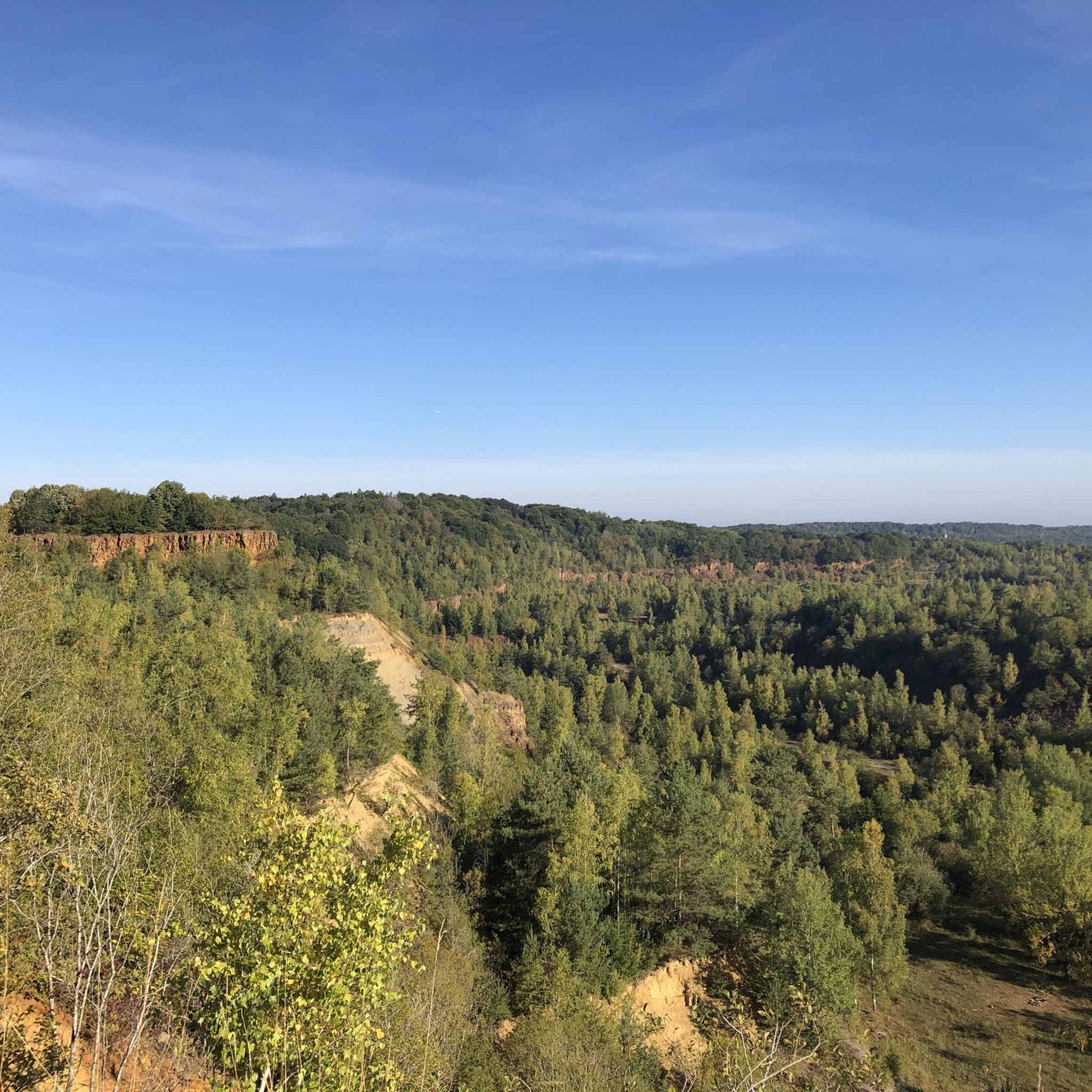
An exciting relic from the days of ore mining. Spectacular with a fantastic view!
1
0


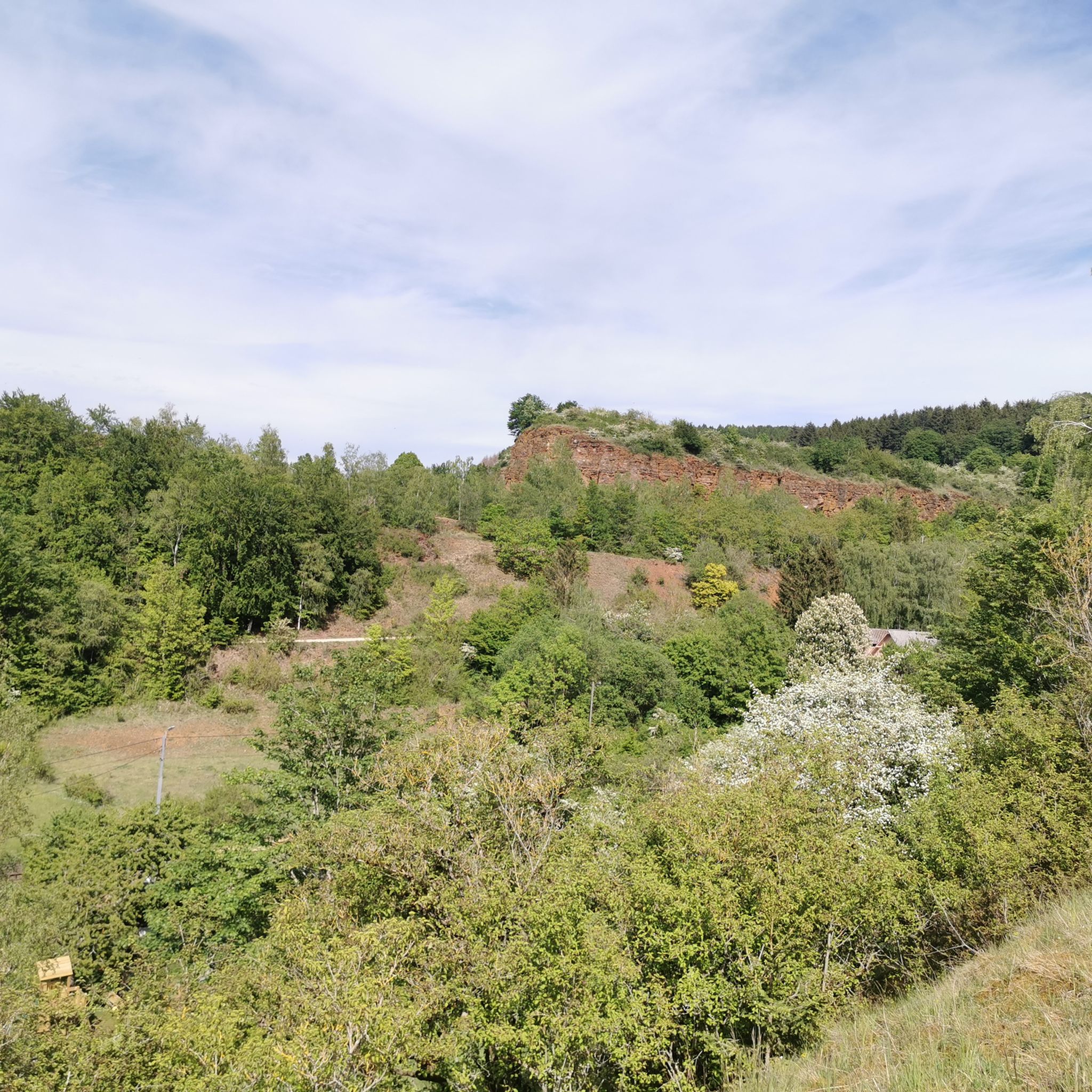
An absolute trail highlight in the area, along a ridge. Great!
0
0
Many dips invite you to play around on your bike. Nothing special, but quite nice if you happen to be passing through.
0
0

Stay in the former administrative office of the Rumelange mine
0
0

The wagon was probably used to dispose of slag. There is a pile of slag on the slope directly in front of it. If you look closely, you can see a whole lot more of it further down.
1
0
Frequently Asked Questions
How many mountain bike trails are available around Öttingen?
There are over 200 mountain bike trails around Öttingen, offering a diverse range of options for all skill levels. The komoot community has explored more than 213 routes in the area.
Are there mountain bike trails suitable for beginners in Öttingen?
Yes, Öttingen offers a good selection of trails for beginners. There are 76 easy routes available. An example of an easy route is the Crevasse Alert loop from Rumelange, which is 10.2 miles (16.4 km) long and takes about 1 hour 20 minutes to complete.
What about more challenging mountain bike routes in Öttingen?
For those seeking a challenge, Öttingen has 33 difficult mountain bike routes. A demanding option is the Descent of the 8 Ways – Flowy Forest Trail loop from Tressange, a 27.6 miles (44.4 km) trail with significant elevation changes, typically completed in about 3 hours 44 minutes.
Are there family-friendly mountain bike trails in Öttingen?
While specific 'family-friendly' designations aren't always explicit, many of the 76 easy routes are suitable for families. These often follow gentler paths along the Wörnitz River or through less challenging forest sections, allowing for a pleasant ride for all ages.
Can I find circular mountain bike routes in Öttingen?
Yes, many of the mountain bike routes in Öttingen are designed as circular loops, allowing you to start and end at the same point. For example, the moderate Crevasse Alert loop from Tressange is a 30.5 km (18.9 miles) circular route.
What natural landmarks or attractions can I see while mountain biking near Öttingen?
Öttingen is situated near the unique Nördlinger Ries, a well-preserved meteorite crater offering diverse terrain and panoramic views. You can also explore the picturesque Wörnitz River, the Hahnenkammsee, and the Hesselberg Summit, a notable natural monument. For specific highlights, consider visiting the Lallengerbierg Bike Park or the Rock Garden Trail at Haard Nature Reserve.
What do other mountain bikers enjoy the most about mountain biking in Öttingen?
The mountain bike trails around Öttingen are highly rated by the komoot community, with an average score of 4.4 stars from over 1,900 reviews. Riders often praise the diverse landscape, which includes picturesque hills, dense forests, and the unique Nördlinger Ries geological formation, offering a mix of scenic and varied terrain.
Are there any huts or cabins along the mountain bike trails for a break?
Yes, there are several huts and cabins in the vicinity that can serve as resting points. You might encounter places like Kabaischen: Floater or Kabaischen: Haus Gonner. These can be great spots to take a break and refuel during your ride.
What is the typical elevation gain on mountain bike trails in Öttingen?
The elevation gain varies significantly depending on the trail's difficulty and length. Easy routes might have around 200-300 meters of ascent, while more difficult trails, such as the Prince Henri Cave – Rosati House loop from Rochonvillers, can feature ascents of over 475 meters, providing a good workout.
Is it possible to access mountain bike trails in Öttingen using public transport?
While the region is generally accessible, specific public transport links directly to trailheads for mountain biking might require some planning. It's advisable to check local bus or train schedules to see if they serve the starting points of your chosen routes. Many trails are more easily reached by car, especially those further into the forests or the Nördlinger Ries area.
Are there any specific nature reserves or parks to explore by mountain bike?
The region around Öttingen offers access to areas like the Haard Nature Reserve, which features trails such as the Rock Garden Trail. The Ellergronn Nature Conservation Centre is also nearby, providing opportunities to explore the natural environment, though specific mountain biking access within all conservation areas should be confirmed locally.
What kind of terrain can I expect on mountain bike trails around Öttingen?
You can expect a varied terrain around Öttingen. The region features picturesque hills and dense forests, offering a mix of forest paths and open sections. The unique Nördlinger Ries area provides diverse geological landscapes, with some segments potentially unpaved and more challenging, while riverside paths along the Wörnitz are generally flatter.
Most popular attractions around Öttingen

Get inspired with the komoot mobile app


Explore more
Browse the best MTB trails in other regions.
