The best mountain hikes in Pljevlja Municipality
4.7
(22)
88
hikers
7
hikes
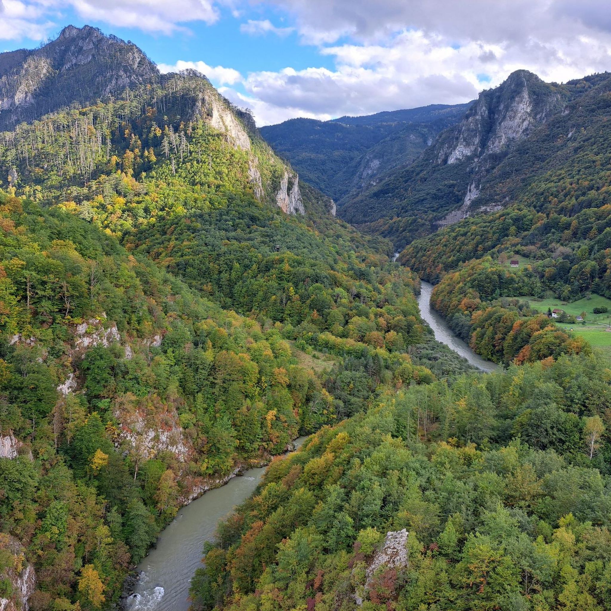
Mountaineering in Pljevlja Municipality offers access to rugged landscapes in northern Montenegro, bordering Durmitor National Park. The region is characterized by dramatic mountain ranges, limestone plateaus, and deep canyons carved by rivers like the Tara and Piva. These features create a diverse terrain suitable for challenging mountaineering routes. The area provides opportunities to explore significant natural attractions and varied mountainous environments.
Best mountaineering routes in Pljevlja Municipality
- The most popular mountaineering route is Crno Jezero (Black Lake) – Crno Jezero (Black Lake) loop from Žabljak, an 8.7 miles (14.0 km) trail that takes about 6 hours 32 minutes to complete. This route explores the glacial Black Lake within Durmitor National Park.
- Another top favourite among local mountaineers is Crno Jezero (Black Lake) – Alisnica Pass loop from Žabljak, a difficult 10.0 miles (16.2 km) path. This route offers views of Black Lake and traverses towards Alisnica Pass.
- Local mountaineers also love the Crno Jezero (Black Lake) – Ledina Cave loop from Žabljak, an 8.2 miles (13.2 km) trail leading through mountainous terrain, often completed in about 5 hours 27 minutes.
- Mountaineering in Pljevlja Municipality is defined by dramatic mountain ranges, deep river canyons, and glacial lakes. The network offers options for various ability levels, including difficult routes requiring alpine experience.
- The routes in Pljevlja Municipality are highly rated by the komoot community with an average score of 4.7 stars from over 20 reviews. More than 80 mountaineers have used komoot to explore Pljevlja Municipality's varied terrain.
Last updated: July 8, 2026
4.4
(7)
13
hikers
14.0km
06:31
940m
940m
Hard mountaineering route. Very good fitness required. Sure-footedness, sturdy shoes and alpine experience required.
4.8
(5)
20
hikers
16.3km
05:27
710m
710m
Hard mountaineering route. Very good fitness required. Sure-footedness, sturdy shoes and alpine experience required.

Sign up for free
4.4
(8)
23
hikers
13.6km
05:34
830m
830m
Hard mountaineering route. Very good fitness required. Sure-footedness, sturdy shoes and alpine experience required.
5.0
(1)
14
hikers
15.7km
07:12
1,150m
1,150m
Hard mountaineering route. Very good fitness required. Sure-footedness, sturdy shoes and alpine experience required.
4
hikers
13.0km
04:15
540m
540m
Moderate mountaineering route. Good fitness required. Easily-accessible paths. Suitable for all skill levels.
2
hikers
11.6km
05:24
880m
880m
Hard mountaineering route. Very good fitness required. Sure-footedness, sturdy shoes and alpine experience required.
Our route recommendations are based on thousands of hikes, rides, and runs completed by other people on komoot.
Start today with a free account
Your next adventure awaits.
Login or Signup
Tips from the Community

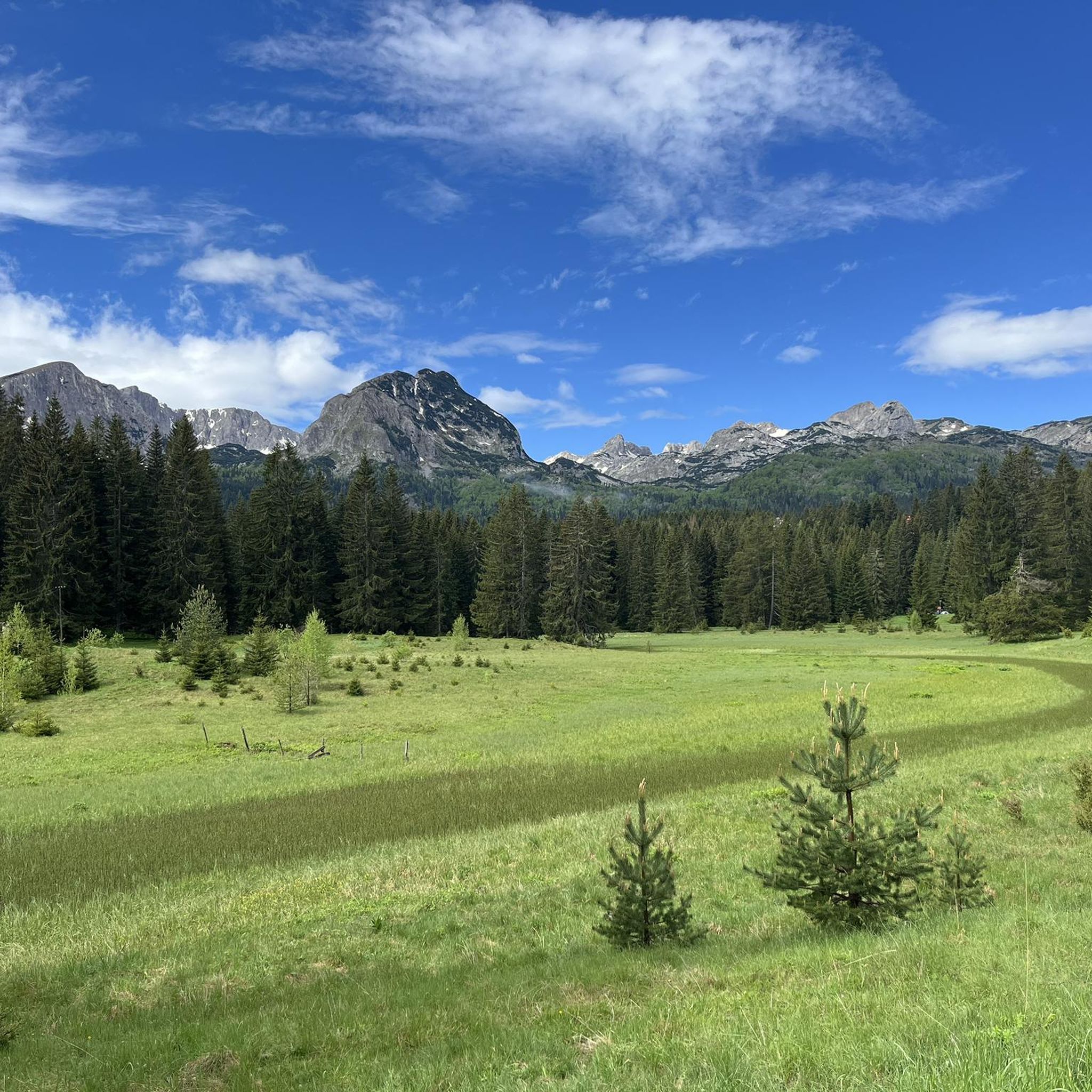
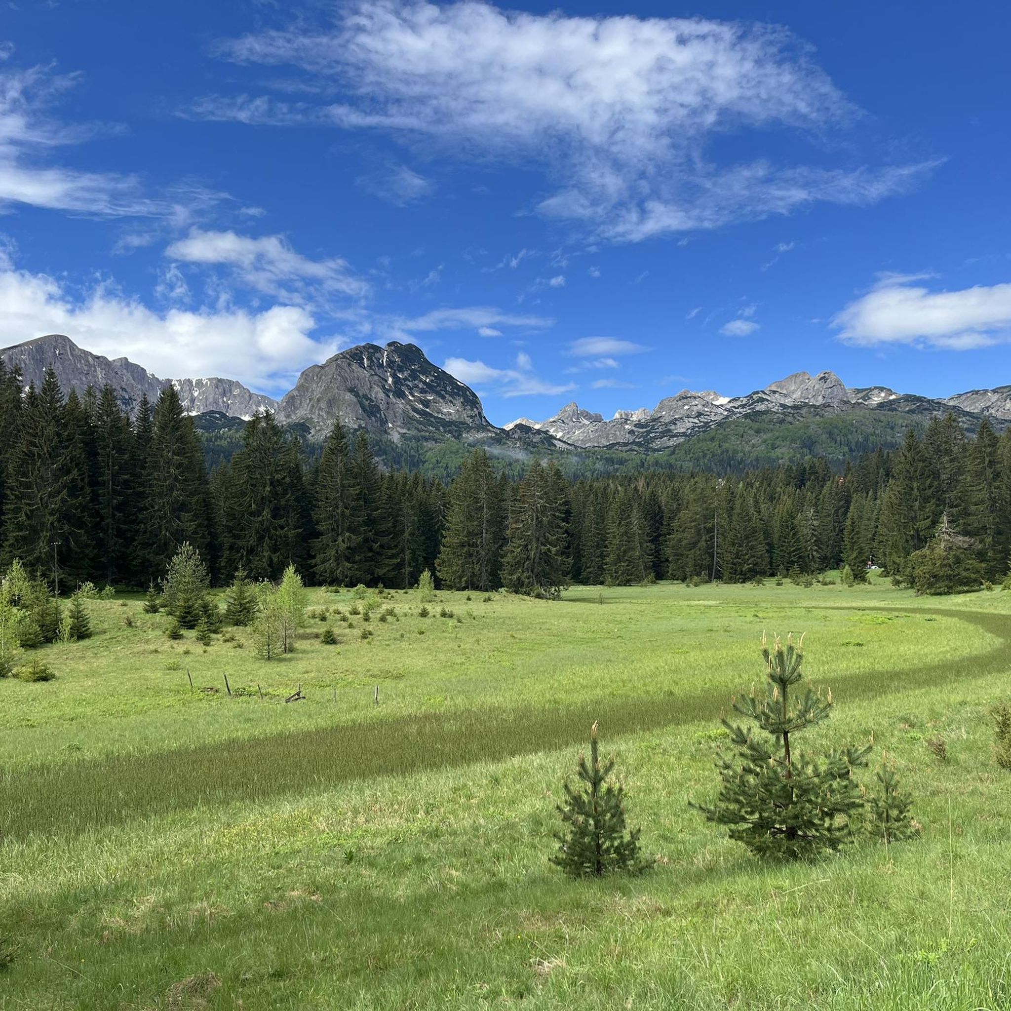
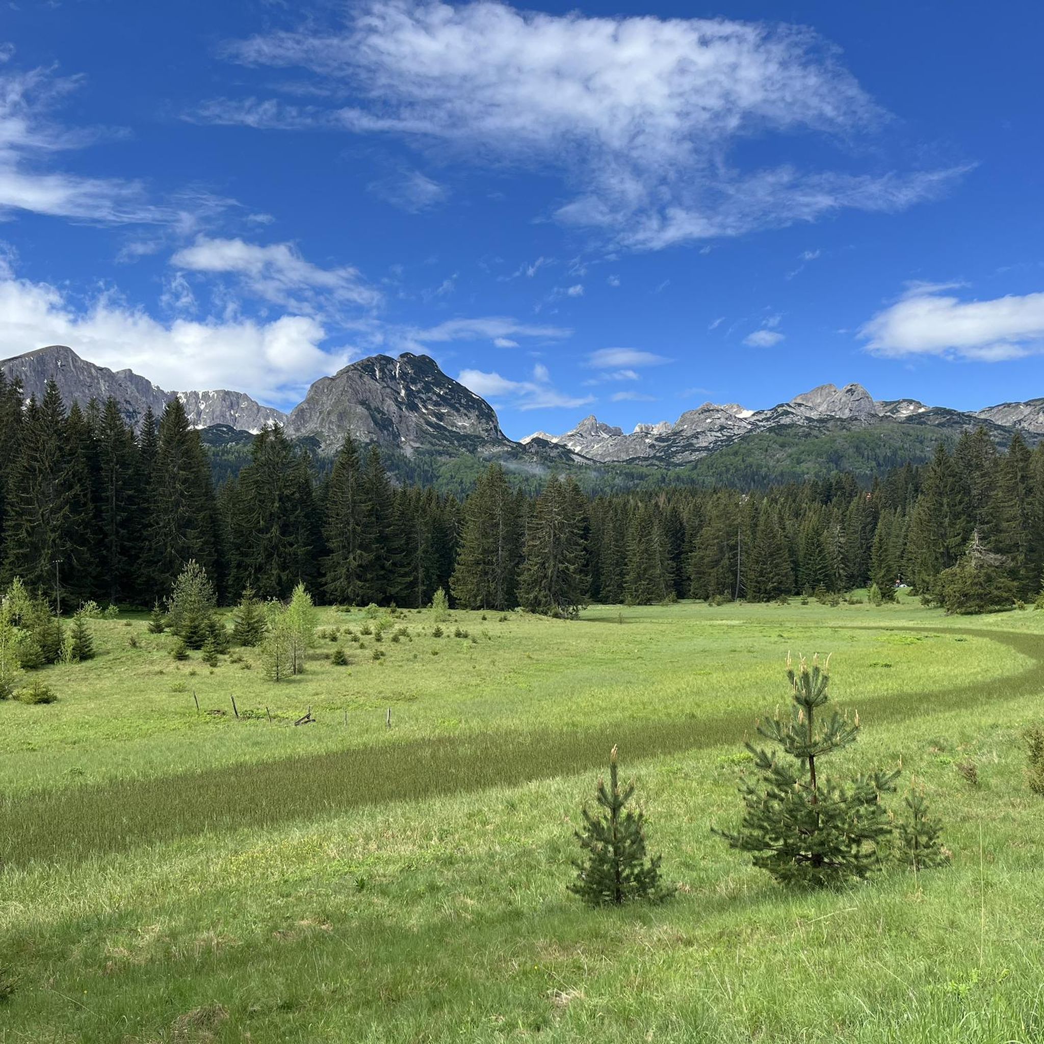
The accompanying page in the ARD media library for the television series "Treasures of the World – Heritage of Humanity" states: Rugged peaks marked by glaciers and karst formation, high alpine pastures, and primeval forests characterize a mountain landscape in the far north of the Republic of Montenegro: the Durmitor Massif. Nestled in the mountains are glacial lakes and karst gorges, springs and streams, and rivers roar in wild, inaccessible valleys. The name Durmitor likely originates from the Celtic language and means "Mountains of Many Waters." Interested viewers can access the corresponding film via the following link (duration: 15 minutes / language: German) =>> https://www.ardmediathek.de/video/schaetze-der-welt/nationalpark-durmitor-montenegro-folge-367/3sat/Y3JpZDovL3N3ci5kZS82NjM0ODA4
0
0

Scenic summit above the Medjed ridge — panoramic views across Durmitor. Exposed sections with chains on the way, recommended only in stable, dry weather.
0
0

The ridge section north of this is actually forbidden, but since we approached from the north we only saw this sign after completing the ridge.
0
0
We went to the right here (assuming you are walking uphill). However this part of the ridge crossing is quite challenging and it turned out later that this particular part of the ridge is forbidden. The safer option is to go left here, and skip this part of the ridge.
0
0

From the picture you can easily see how steep it is here. The rock is also not that stable and you have to be careful where you walk so that no rocks fall down. But it still happens. That's why you should wear a helmet. If there are too many people around, it's better to wait a bit and keep your distance. The route is fun and not that easy.
4
0
After the strenuous hike to the summit, you can enjoy the wonderful view and chat with other tourists. The last 200-300 meters are steep and you have to climb before you reach the summit. The path is secured with ropes in some places. You don't need any special equipment, but a helmet is really recommended because stones and other objects fall from above. There may be a lot of people here and there may be queues.
7
0
Here you can take a short break to enjoy the great view of the lake and the surrounding area. Then comes the final push to the summit, where you have to climb.
4
0
The ticket for Durmitor National Park is valid all day. We were able to enter 2 different parks with the same ticket. Same day, ticket is valid for 24 hours.
4
0
Frequently Asked Questions
How many mountaineering routes are available in Pljevlja Municipality?
Komoot features around 7 distinct mountaineering routes in Pljevlja Municipality. These routes offer a variety of experiences across the region's dramatic landscapes, primarily focusing on the challenging terrain near Durmitor National Park.
What is the best time of year for mountaineering in Pljevlja Municipality?
The best time for mountaineering in Pljevlja Municipality, especially for the more challenging routes near Durmitor National Park, is typically from late spring through early autumn (May to October). During these months, the weather is generally more stable, and trails are free of snow, making for safer and more enjoyable conditions. Winter mountaineering is possible but requires specialized equipment and experience due to heavy snow and harsh conditions.
What kind of terrain can I expect on mountaineering routes in Pljevlja Municipality?
Mountaineering in Pljevlja Municipality offers a diverse and rugged terrain. You can expect dramatic mountain ranges, impressive limestone plateaus, and deep canyons carved by rivers like the Tara and Piva. Many routes explore glacial lakes, such as the famous Black Lake, and traverse through high alpine environments, often requiring good fitness and sure-footedness.
Are there any easier mountaineering routes suitable for beginners in Pljevlja Municipality?
While many routes in the region are considered difficult, there is at least one easier mountaineering route available. These options are great for those new to mountaineering or looking for a less strenuous experience while still enjoying the stunning scenery of Pljevlja Municipality.
Can I find circular mountaineering routes in the area?
Yes, several mountaineering routes in Pljevlja Municipality are designed as loops, allowing you to start and end at the same point. Examples include the Crno Jezero (Black Lake) – Crno Jezero (Black Lake) loop from Žabljak, which explores the glacial Black Lake, and the Crno Jezero (Black Lake) – Alisnica Pass loop from Žabljak, offering views towards Alisnica Pass.
What natural features or landmarks can I see along the mountaineering routes?
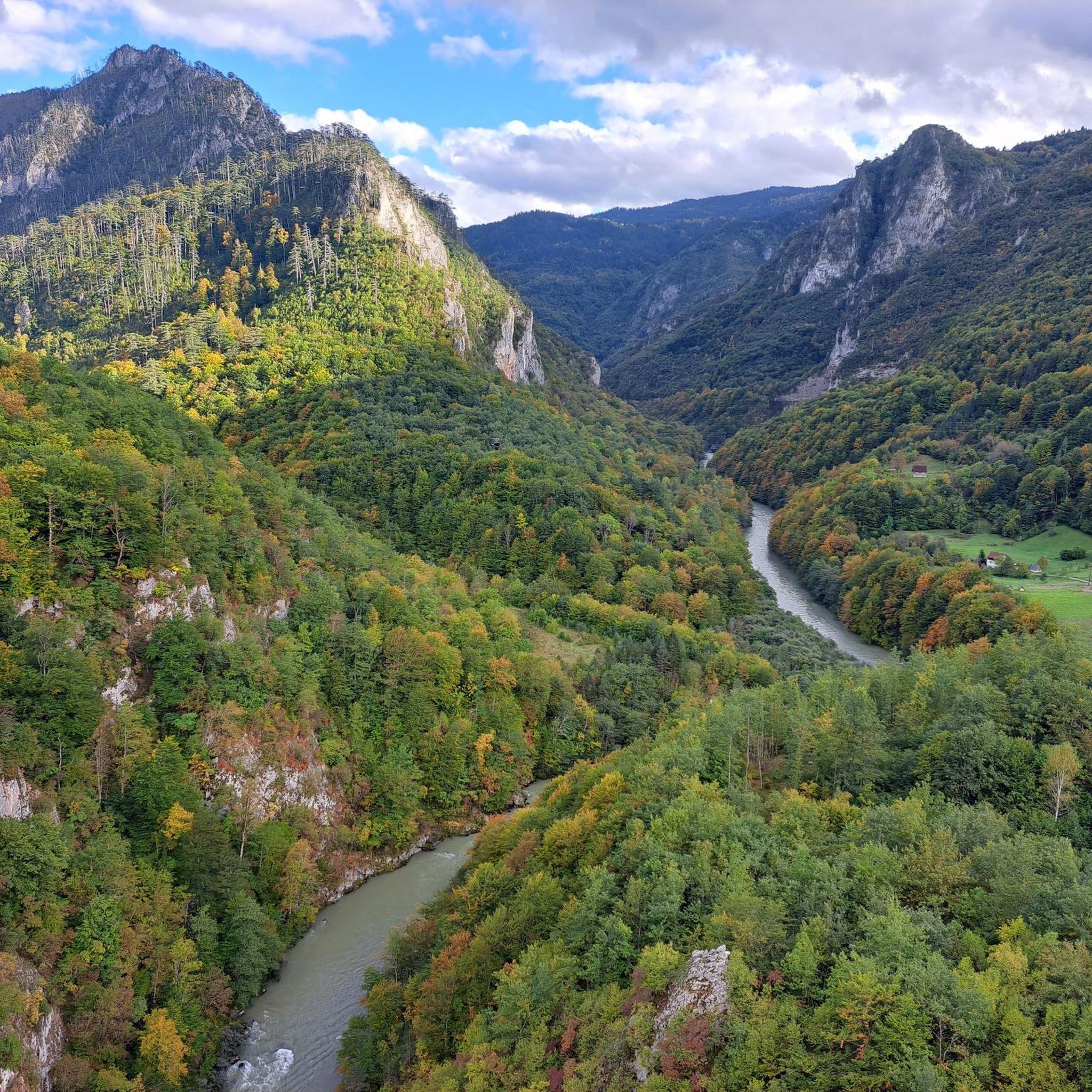
The mountaineering routes in Pljevlja Municipality are rich with natural beauty and significant landmarks. You'll encounter the magnificent Black Lake within Durmitor National Park, and many routes offer views of the dramatic Tara River Canyon. Other notable features include the Prošćenske Planine (the pilgrims' mountains) and various viewpoints offering panoramic vistas of the mountainous terrain.
Are there any specific viewpoints worth seeking out?
Absolutely. The region is known for its breathtaking views. Many routes offer stunning panoramas of the surrounding mountains and canyons. A notable highlight is the View of the Ćehotina River, which provides a different perspective of the area's natural beauty. Routes around Black Lake also offer iconic views of the glacial lake and surrounding peaks.
Is public transport available to reach the trailheads in Pljevlja Municipality?
While Pljevlja Municipality is a gateway to the region, direct public transport to specific remote trailheads can be limited. Most mountaineering routes, particularly those originating from Žabljak near Durmitor National Park, are typically accessed by car. It's advisable to check local transport options or consider private transfers if you don't have your own vehicle.
Where can I find parking near the mountaineering trailheads?
For routes originating from popular starting points like Žabljak, you can usually find designated parking areas. For instance, near Black Lake, there are parking facilities available. For more remote trailheads, parking might be less formal, often along roadsides or in small clearings. Always ensure your vehicle is parked safely and legally.
Are there any specific permits required for mountaineering in Pljevlja Municipality?
Mountaineering within Durmitor National Park, which borders Pljevlja Municipality and is home to many of the featured routes, generally requires an entrance fee to the park. This fee contributes to the maintenance and protection of the park's natural environment. It's always best to check the official Durmitor National Park website for the most current information on fees and any specific permit requirements for certain high-altitude or protected areas.
Are the mountaineering routes in Pljevlja Municipality dog-friendly?
While many outdoor areas in Montenegro are generally welcoming to dogs, specific rules may apply within Durmitor National Park, where many of these mountaineering routes are located. It's recommended to keep dogs on a leash to protect wildlife and ensure the safety of other hikers. Always check the latest regulations for Durmitor National Park regarding pets before heading out.
What do other mountaineers say about the routes in Pljevlja Municipality?
The mountaineering routes in Pljevlja Municipality are highly rated by the komoot community, with an impressive average score of 4.7 stars from over 20 reviews. More than 80 mountaineers have used komoot to explore the varied terrain, often praising the dramatic mountain ranges, deep river canyons, and the challenging yet rewarding experiences offered by the trails.
Are there family-friendly mountaineering options in Pljevlja Municipality?
While many of the featured routes are categorized as difficult and require alpine experience, there are easier options available that might be suitable for families with older children or those looking for less strenuous hikes. For younger families, it's advisable to seek out shorter, less elevated trails or consider walks around the lower areas of Durmitor National Park, which offer stunning views without the extreme challenge.
Most popular routes in Pljevlja Municipality
Most popular attractions in Pljevlja Municipality

Get inspired with the komoot mobile app


Explore more
Browse the best Mountain Hikes & Routes in other regions.
