The best walks and hikes around Fillières
4.3
(236)
1,482
hikers
41
hikes
Hiking around Fillières offers diverse landscapes, characterized by a blend of mountains, extensive forests, and numerous streams. The region features significant natural elements like high-altitude plateaus and prominent mountains, contributing to varied terrain. Limestone formations are present, alongside lush alpine meadows and river valleys. This combination provides a rich environment for outdoor exploration.
Best hiking trails around Fillières
- The most popular hiking route is Shelter on the Crosnière Trail – Entrance to the Old Iron Mine loop from Hussigny-Godbrange,…
Last updated: July 1, 2026
4.4
(10)
51
hikers
Moderate hike. Good fitness required. Easily-accessible paths. Suitable for all skill levels.
4.7
(13)
31
hikers
Moderate hike. Good fitness required. Easily-accessible paths. Suitable for all skill levels.

Sign up for free
4.5
(8)
22
hikers
12.3km
03:21
170m
170m
Moderate hike. Good fitness required. Easily-accessible paths. Suitable for all skill levels.
3.5
(2)
14
hikers
13.0km
03:31
180m
180m
Moderate hike. Good fitness required. Easily-accessible paths. Suitable for all skill levels.
4.5
(2)
14
hikers
Moderate hike. Good fitness required. Easily-accessible paths. Suitable for all skill levels.
Get access to more routes and recommendations from other explorers.
Sign up for free
Already have an account?
Our route recommendations are based on thousands of hikes, rides, and runs completed by other people on komoot.
Start today with a free account
Your next adventure awaits.
Login or Signup
Tips from the Community

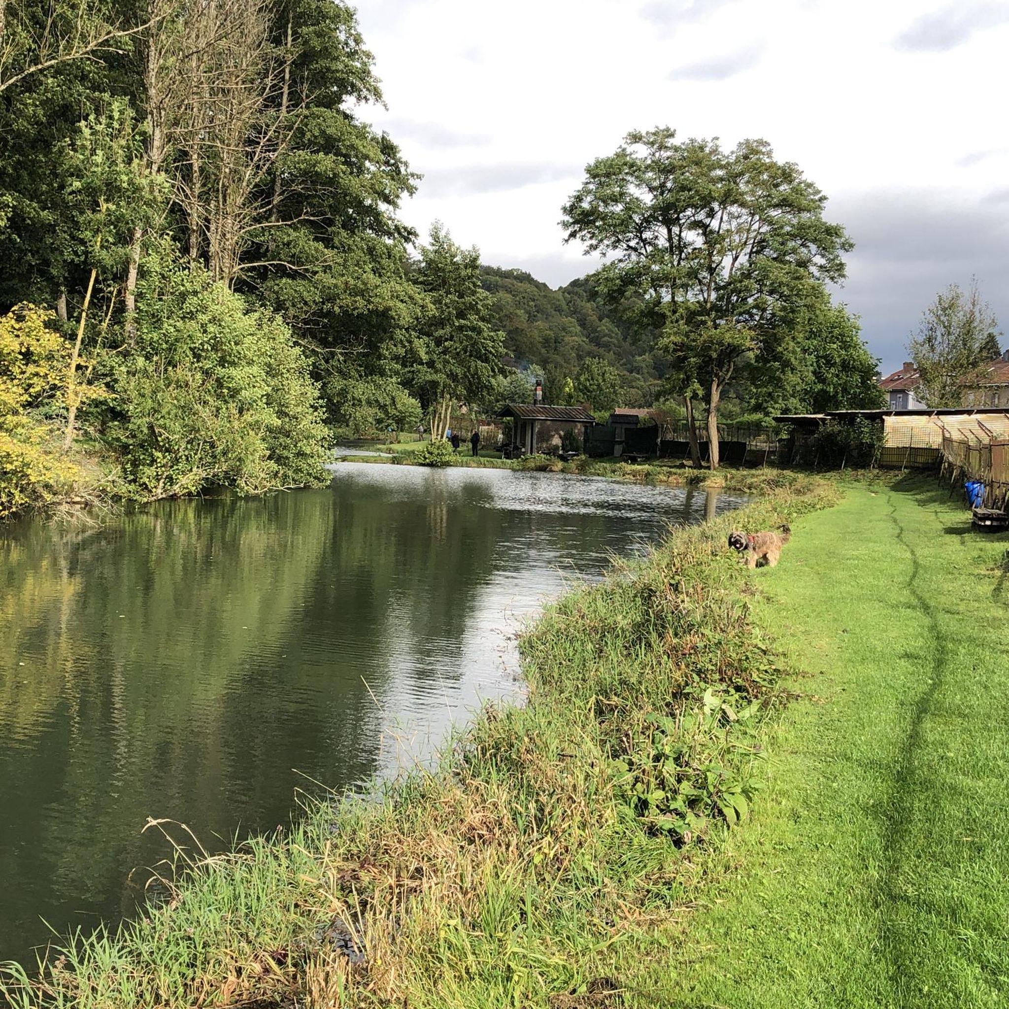
Beautiful pond with wooden walkways.
2
0

Nice park to start a walk in peace
1
0
Lovely park designed for children near the church which contains a very beautiful rose garden.
1
0
Below the path, the mine entrance serves as a stream bed
1
0
Picturesque part of the route with the 3 springs and the entrance to the mine which happily feeds the Moulaine
0
0
Historical reminder of life in the valley
0
0

An impressive building in a great setting
2
0
Frequently Asked Questions
What types of landscapes can I expect to see while hiking in Fillières?
Fillières offers a diverse range of landscapes, from high-altitude plateaus like the Plateau des Glières to extensive forests and numerous streams. You'll encounter unique limestone formations, including "lapiaz" features, lush alpine meadows, and river valleys. The region is characterized by a blend of mountains, forests, and water features, providing varied scenery for exploration.
Are there hiking trails suitable for beginners or those looking for an easy walk in Fillières?
Yes, Fillières has trails suitable for various skill levels, including easy options. For instance, the Mine Entrance with Stream – La Moulaine Stream loop from Hussigny-Godbrange is an easy 6.2 km trail that can be completed in about 1 hour 39 minutes, leading through stream valleys and woodlands. Overall, there are 7 easy routes available in the region.
What are some notable natural features or landmarks to look out for on Fillières' trails?
Fillières is rich in natural and historical points of interest. You can explore the Moulaine Valley Stream, the Pfälzerbeschquelle, or the Source of the Kor. The region also features the high-altitude Plateau des Glières, known for its unspoiled nature and traditional pastoral agriculture, and Parmelan Mountain with its unique "lapiaz" formations.
Are there any historical sites accessible via hiking trails in Fillières?
Yes, the Plateau des Glières is an emblematic historical site of the French Resistance, featuring a national monument and marked routes that tell the story of this period. Additionally, you can find historical industrial sites nearby, such as the Cockerill Mine Museum or the Belval Blast Furnaces, which offer insights into the region's past.
What do other hikers say about the trails in Fillières?
The hiking routes in Fillières are highly regarded by the komoot community, holding an average rating of 4.2 stars from over 230 reviews. Hikers often praise the diverse terrain, from high-altitude plateaus to dense woodlands and river valleys, and appreciate the panoramic views and historical insights offered along the trails.
Are there any circular hiking routes available in Fillières?
Yes, many of the trails in Fillières are designed as loops, offering convenient circular routes. Examples include the Shelter on the Crosnière Trail – Entrance to the Old Iron Mine loop from Hussigny-Godbrange, a moderate 9.9 km trail, and the Oude tunnellavoir loop from Chenières, a moderate 12.3 km route.
What is the best time of year to go hiking in Fillières?
Fillières is excellent for hiking during warmer months, typically from spring through autumn, when trails are clear of snow and the alpine meadows are lush. The region also transforms in winter, offering opportunities for snowshoeing and cross-country skiing on the Glières Plateau, but for traditional hiking, the snow-free seasons are ideal.
Are there any trails that offer panoramic views in Fillières?
Absolutely. Parmelan Mountain, towering at 1832 m, offers numerous hiking opportunities with stunning panoramic views, including vistas of Lake Annecy. Additionally, areas like Saint-Martin-Bellevue provide expansive views of the Parmelan, sections of the Aravis mountain range, and the Fillière valley.
How many hiking routes are there in Fillières, and what are their difficulty levels?
There are over 40 hiking routes available in Fillières. The majority, around 32 routes, are classified as moderate, offering a good challenge for most hikers. There are also 7 easy trails for more relaxed walks and 2 difficult routes for experienced hikers seeking a greater challenge.
Can I find trails that follow streams or rivers in Fillières?
Yes, the rural area of Fillières is characterized by numerous streams, including the Fillière river itself. Many trails traverse varied terrain, often following the course of these waterways. For example, the La Moulaine Stream – Mine Entrance with Stream loop from Haucourt-Moulaine is a moderate path that follows stream courses and passes through forested areas.
Are there any places to explore beyond hiking trails in Fillières?
Beyond hiking, Fillières is a hub for other outdoor pursuits like mountain biking, horseback riding, and canyoning in warmer months. In winter, the Glières Plateau offers a dedicated Nordic ski area for cross-country skiing and snowshoeing. You can also visit alpine farms on the Glières Plateau to taste local specialties.
Are there any long-distance or more challenging hikes in the Fillières region?
Yes, for those seeking more challenging options, several trails connect the valley to the Plateau des Glières. These can be quite demanding, such as the Ultimatum trail (part of GR96), which is a 6.5-hour roundtrip with an 841m vertical climb, or the Escarmouche trail, a 15 km route with 900m vertical gain, typically taking 5.5-6 hours.
Most popular attractions around Fillières

Get inspired with the komoot mobile app


Explore more
Browse the best Hikes in other regions.
