The best walks and hikes around Budling
4.3
(337)
1,916
hikers
132
hikes
Hiking around Budling offers a network of trails through varied terrain. The region features rolling landscapes with moderate elevation changes, suitable for different hiking abilities. Routes often include historical sites and provide views of the surrounding countryside. The area's trails connect local villages and natural features.
Best hiking trails around Budling
- The most popular hiking route is Hackenberg Fort – Hackenberg Bunker Complex loop from Veckring, a 3.8 miles (6.1 km) trail that takes 1 hour 42 minutes to…
Last updated: October 9, 2026
4.6
(11)
39
hikers
6.01km
01:41
120m
120m
Easy hike. Great for any fitness level. Easily-accessible paths. Suitable for all skill levels.
4.8
(6)
32
hikers
9.88km
02:46
200m
190m
Moderate hike. Good fitness required. Easily-accessible paths. Suitable for all skill levels.

5.0
(7)
23
hikers
16.3km
04:31
290m
290m
Moderate hike. Good fitness required. Easily-accessible paths. Suitable for all skill levels.
4.5
(2)
6
hikers
16.0km
04:36
400m
400m
Moderate hike. Good fitness required. Easily-accessible paths. Suitable for all skill levels.
4.0
(2)
10
hikers
10.5km
02:48
120m
120m
Moderate hike. Good fitness required. Easily-accessible paths. Suitable for all skill levels.
Get access to more routes and recommendations from other explorers.
Already have an account?
Our route recommendations are based on thousands of hikes, rides, and runs completed by other people on komoot.
Start today with a free account
Your next adventure awaits.

Tips from the Community

Pretty little church, right on the pilgrimage route.
0
0

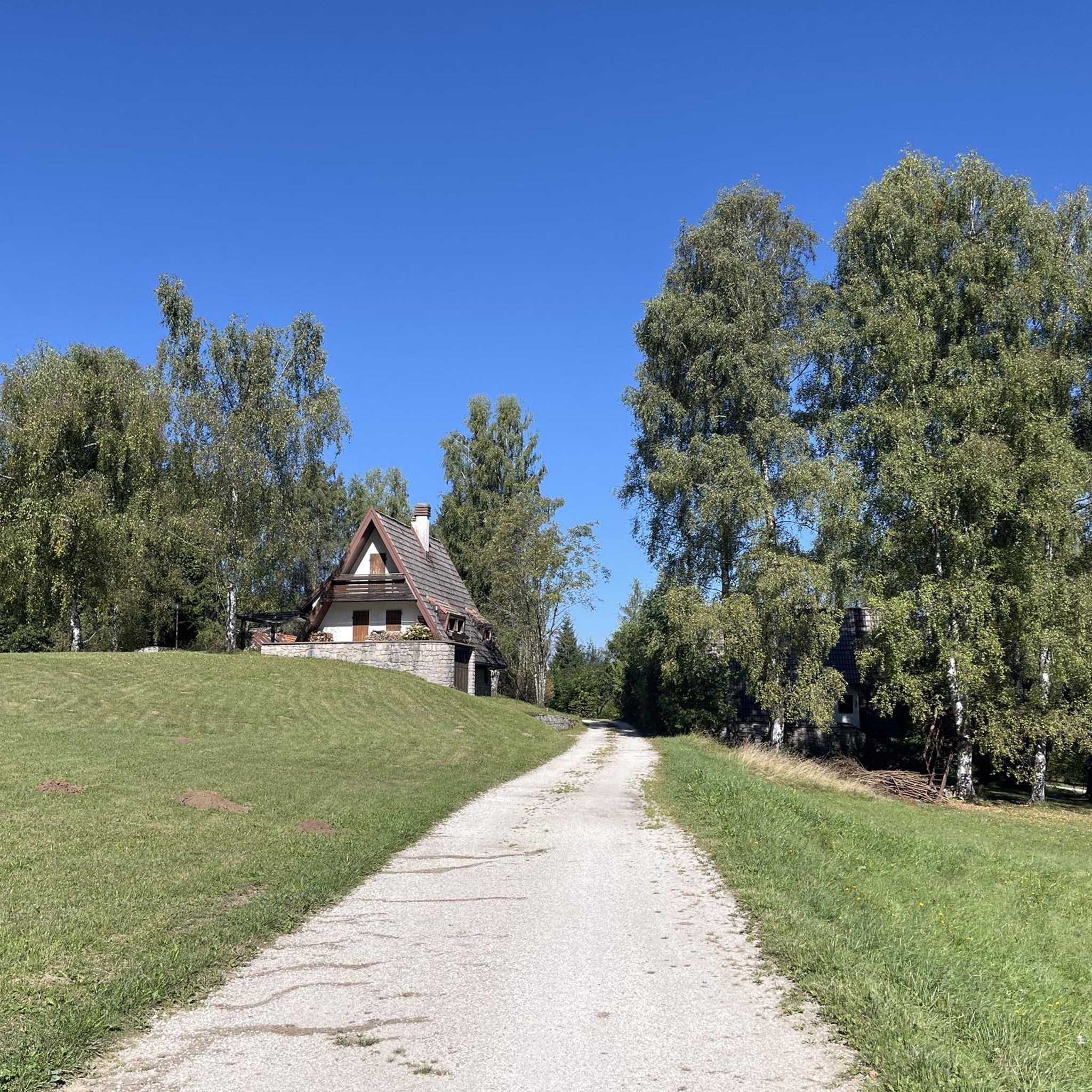
⛪ **Chapel of Sainte-Marguerite – A peaceful place of worship in a rural setting** The small **Chapel of Sainte-Marguerite** is picturesquely situated in the rolling hills of northern Lorraine. It is dedicated to **Saint Margaret of Antioch** – patron saint of farmers and women in labor – and formerly served as a site for **supplication processions and village festivals**. 🕯️ The simple, historic building invites you to pause for a moment of tranquility with its peaceful atmosphere. Flowers or candles are often found here – a sign of the residents' deep connection to their chapel. **Tip:** Ideal for a quiet rest or as a spiritual stopover on a hike through the Lorraine border region.
1
0
🪧 **Stèle de Compostelle near Lemestroff – Stopover on the Way of St. James** This **Stèle on the Way of St. James** near **Lemestroff** (municipality of Bouzonville) is a powerful symbol of the **pilgrimage tradition in Lorraine**. With its carved **scallop shell** and various coats of arms, it commemorates the region's centuries-old connection to the Way to **Santiago de Compostela**. 📍 The stele marks a stage of the pilgrimage route, which leads through rolling fields and quiet paths. Many pilgrims leave small stones or personal tokens in the niches – as an expression of inner contemplation or hope. **Tip:** Even those not on a pilgrimage can use this place as a moment of silence. The scenery of nature, history, and spirituality makes the place particularly impressive.
0
0
🛡️ **Abri des Chênes Brûlés – Hidden Shelter of the Maginot Line** The **Abri des Chênes Brûlés** (German: "Shelter of the Burnt Oaks") is hidden in the forest near **Kemplich** and was part of the French **Maginot Line**. It served as an **underground shelter for infantry units** stationed along the line. 🕳️ The concrete bunker is partially overgrown but still clearly recognizable – with typical features such as loopholes, ventilation openings, and massive steel reinforcements. Today, it is not accessible, but visible from the outside and impressively preserved. **Tip:** The shelter is quietly located on the edge of the forest – ideal as a quiet, historic stopover on a hike through the former defense area. Please treat it with respect – it is a place of military-historical significance.
3
0
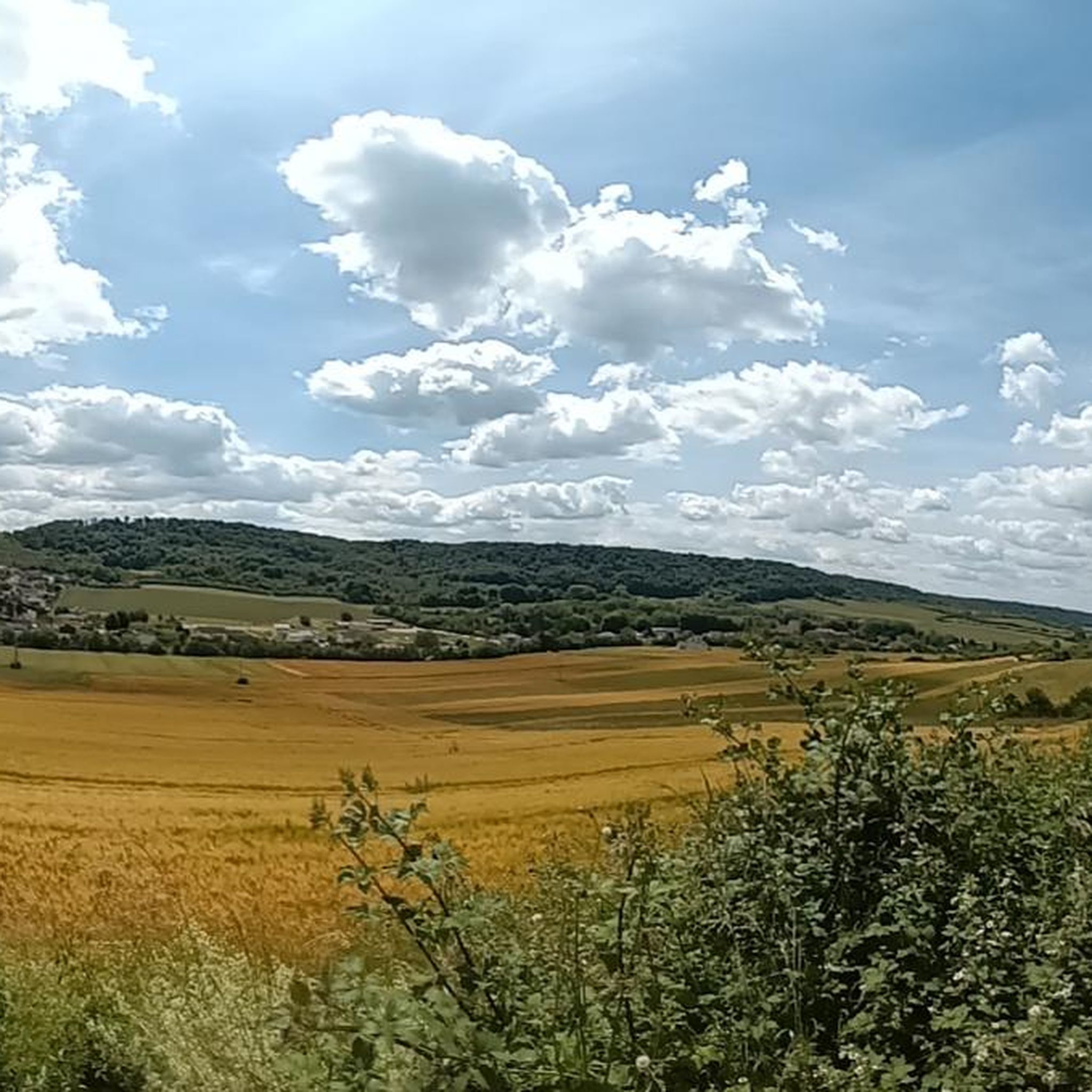
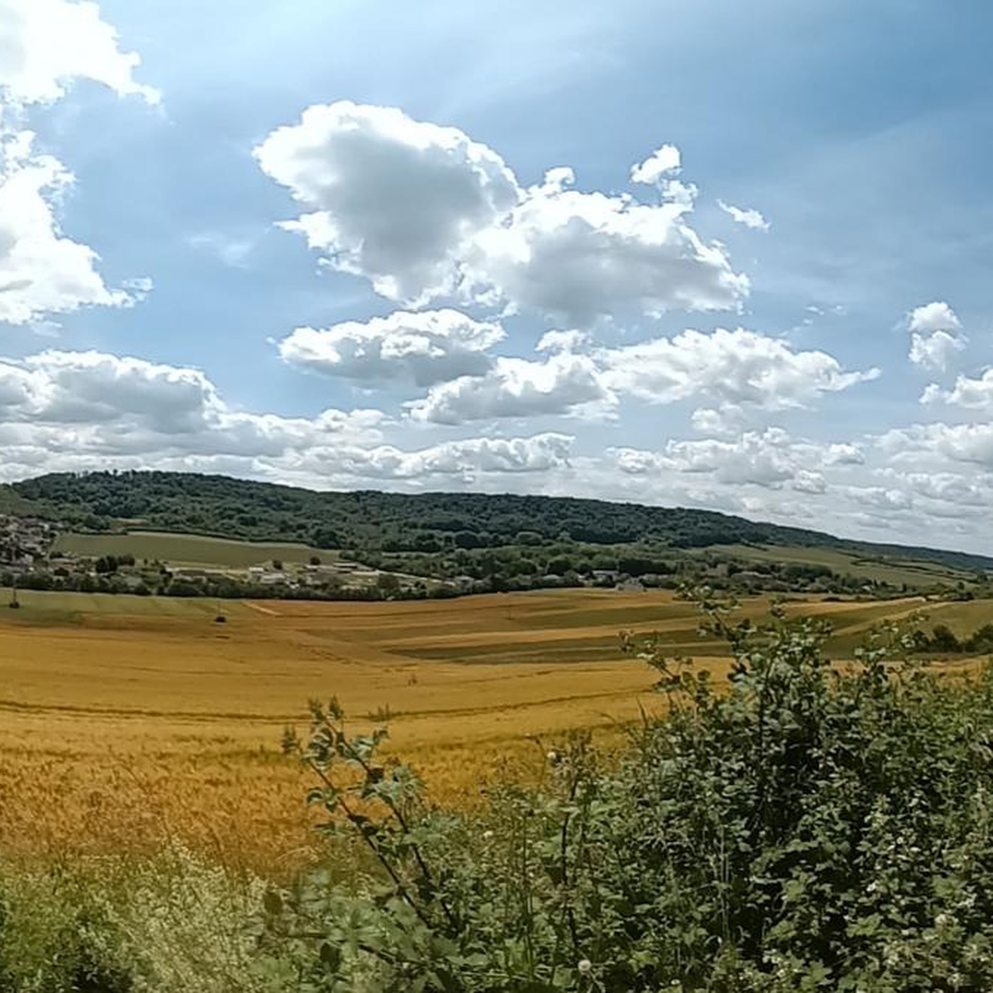
🌾 **View of Kemplich – Peace and Space in the Lorraine Hills** The **view of Kemplich** offers a tranquil panorama of the small village amidst rolling meadows and fields. Nestled in the Lorraine border region, Kemplich, with its bright houses, church, and farmsteads, seems like a place where time passes more slowly. 🌳 The panorama is particularly beautiful from the ridge west of the village – on a clear day, the view extends far across the landscape to the surrounding valleys. **Tip:** Perfect for a short rest with a view of a typical French village – ideal for quiet moments in nature and a feeling of space.
2
0
🌄 **View of Veckring – A village idyll between forest and fortress** The **view of Veckring** offers a peaceful panorama of the Lorraine village, picturesquely nestled in a valley basin – surrounded by rolling hills, fields, and dense forests. Above, the famous **Ouvrage du Hackenberg** towers, its strategic location once watching over the valley. 🏘️ Veckring itself is quiet, with typical Lorraine houses and a small church square. The surrounding area is ideal for hikes with a view. **Tip:** The ridge trail south of the village is particularly beautiful – there are several open spots with views over the rooftops of Veckring and across to the Moselle Valley. Ideal for a quiet rest with a panoramic view.
0
0
🛡️ **Ouvrage du Hackenberg** – The Largest Fortification of the Maginot Line** The **Ouvrage du Hackenberg** near **Veckring** is the most impressive and largest fortification of the **Maginot Line** – a real must-see for history buffs. Built between 1929 and 1935, it includes: 🔩 **17 combat and entry blocks**, 🚇 over **10 km of underground tunnels**, 🚂 an **internal electric railway**, ⚙️ barracks, ammunition depots, a hospital, and a power supply. During World War II, the fort was combat-ready, but was evacuated without a fight after the armistice in 1940. The French Army later reused the facility during the Cold War. 🎟️ Today, Hackenberg has been beautifully restored and can be visited on guided tours – including a ride on the original narrow-gauge railway. Tip: Be sure to take a guided tour – it lasts about two hours. The underground coolness is pleasant even in summer! It's ideal for a half-day excursion with a historical twist.
0
0

This chapel in Sainte Marguerite is located directly on the Way of St. James and invites pilgrims to take a short break.
1
0
Frequently Asked Questions
How many hiking trails are available around Budling?
There are over 125 hiking trails documented around Budling, offering a wide range of options for different preferences and skill levels.
What types of landscapes can I expect to see while hiking in Budling?
Hiking around Budling is characterized by rolling hills, varied terrain, and open views of the surrounding countryside. Many routes also incorporate historical sites, adding a cultural dimension to the natural scenery.
Are there easy hiking trails suitable for beginners or casual walkers in Budling?
Yes, Budling offers a good selection of easy trails. There are 36 easy routes, such as the Hackenberg Fort – Hackenberg Bunker Complex loop from Veckring, which is 3.8 miles (6.1 km) long and takes under two hours to complete.
What are some moderate hiking options in Budling?
For those looking for a moderate challenge, Budling has 83 routes. An example is the View of Veckring loop from Budling, a 6.3-mile (10.1 km) path offering scenic vistas, or the longer Hackenberg Fort – Abri des Chênes Brûlés loop from Veckring, which is 10.2 miles (16.3 km) and takes around 4.5 hours.
Are there any challenging or difficult hikes in the Budling area?
While the majority of trails are easy to moderate, Budling does offer 6 difficult routes for experienced hikers seeking a greater challenge. These trails typically feature more significant elevation changes and longer distances.
What historical sites or landmarks can I explore on hikes around Budling?
The Budling area is rich in history. You can find several historical sites and castles. Notable attractions include Hackenberg Fort and Ouvrage de Galgenberg (Maginot Line). There are also castles like the Castle of the Dukes of Lorraine and View of the castle.
Are there any circular hiking routes in Budling?
Yes, many of the trails around Budling are designed as circular routes, allowing you to start and end at the same point. Examples include the Hackenberg Fort – Hackenberg Bunker Complex loop from Veckring and the View of Veckring loop from Budling.
What do other hikers say about the trails in Budling?
The trails in Budling are highly regarded by the komoot community, with an average rating of 4.3 stars from over 240 reviews. Hikers often praise the varied terrain, the historical points of interest, and the scenic views.
How long do hikes in Budling typically take?
Hike durations vary significantly depending on the route's length and difficulty. Easy trails like the Hackenberg Fort – Hackenberg Bunker Complex loop from Veckring can be completed in under two hours, while longer moderate routes such as the Hackenberg Fort – Abri des Chênes Brûlés loop from Buding can take over 4.5 hours.
Are there any specific places to explore near Budling that are not hiking trails?
Beyond the hiking trails, the region offers several points of interest. The settlement of Sierck-les-Bains is nearby, and there are numerous castles to discover, such as Berg Castle and Château de Luttange.
Can I find trails that connect local villages in Budling?
Yes, the network of trails around Budling often connects local villages, allowing you to explore the regional character and potentially find amenities or points of interest along your hike. For instance, the Pilgrim's stele – Stèle de Compostelle loop from Lemestroff starts from a local village.
Most popular attractions around Budling

Get inspired with the komoot mobile app


Explore more
Browse the best Hikes in other regions.
