The best road cycling routes around Cristinacce
4.8
(108)
2,879
riders
8
rides
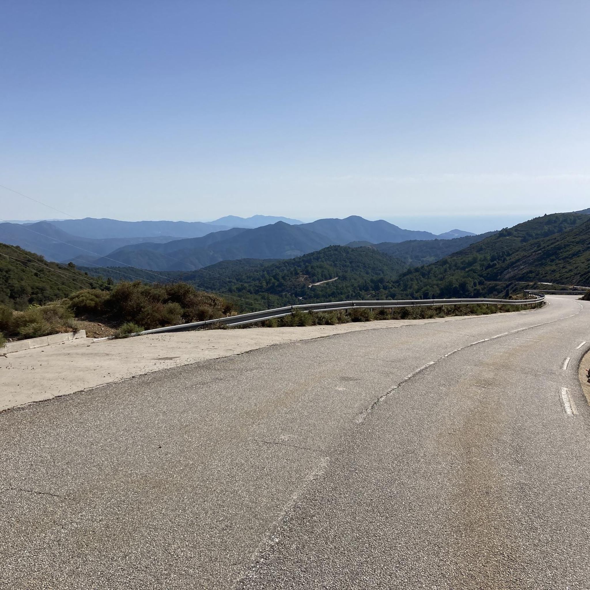
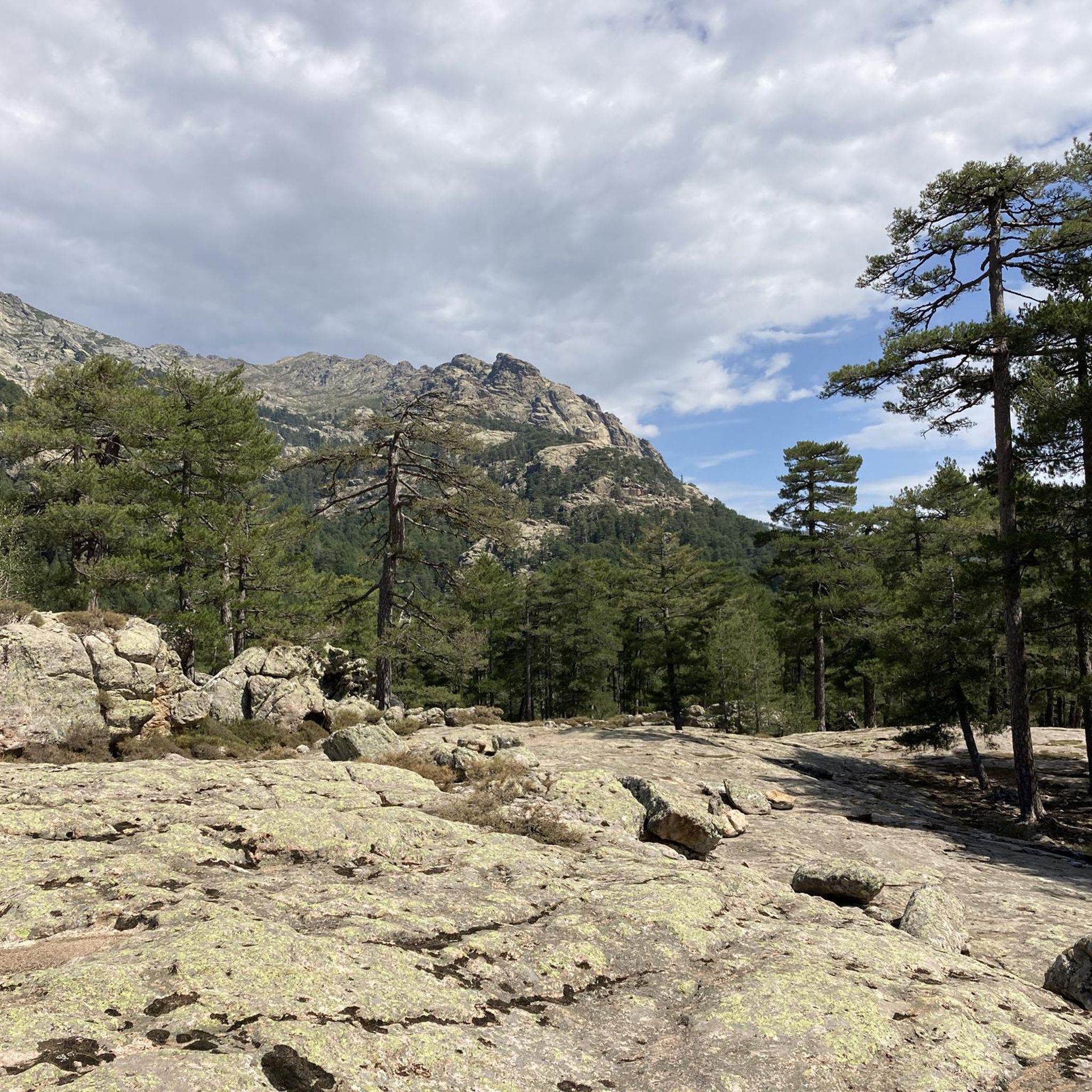
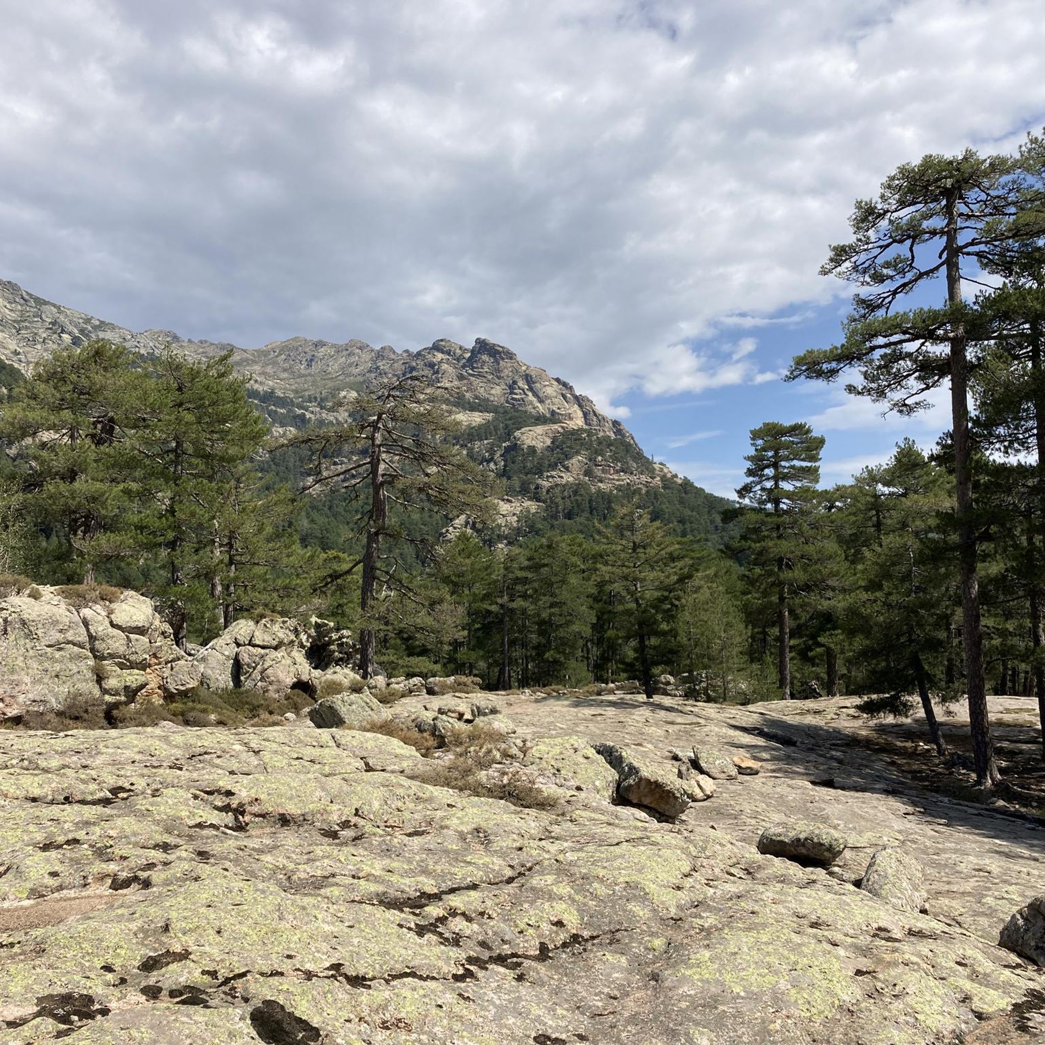
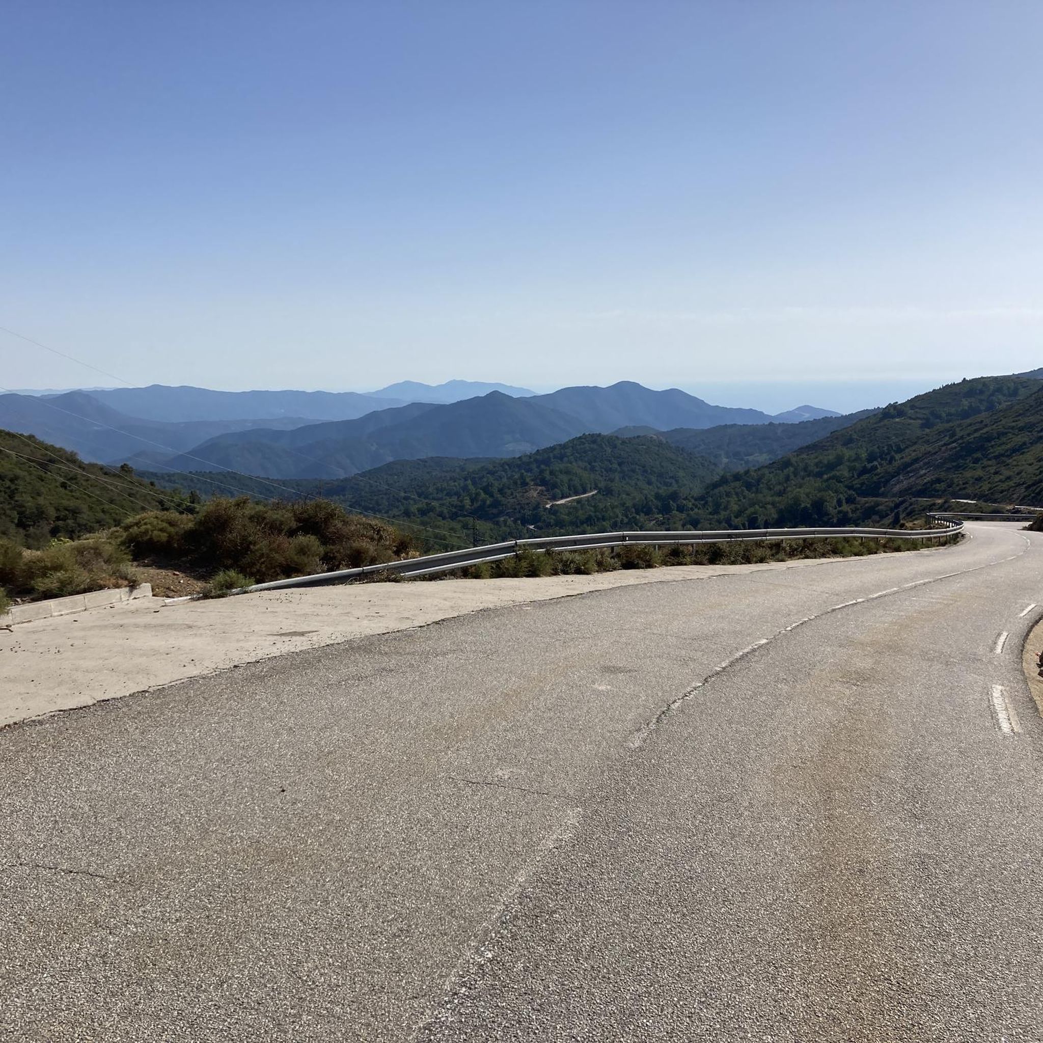
Road cycling around Cristinacce offers routes through a mountainous and wooded environment, located at 850 meters above sea level within the Corsican Regional Natural Park. The region features rugged granite mountains, providing constantly rolling terrain and significant climbs. Cyclists encounter dramatic landscapes, including gorges and numerous mountain passes, with roads winding through forests and traditional villages.
Best road cycling routes around Cristinacce
- The most popular road cycling route is Sea view – Vergio Pass loop from Monte Albanu, an…
Last updated: July 12, 2026
4.9
(18)
752
riders
130km
07:48
3,060m
3,060m
Hard road ride. Very good fitness required. Some segments of this route may be unpaved and difficult to ride.
5.0
(13)
168
riders
74.4km
03:59
1,480m
1,480m
Hard road ride. Very good fitness required. Mostly well-paved surfaces and easy to ride.

Sign up for free
4.8
(4)
44
riders
38.7km
01:57
650m
650m
Moderate road ride. Good fitness required. Mostly well-paved surfaces and easy to ride.
16
riders
53.4km
03:21
1,540m
1,540m
Hard road ride. Very good fitness required. Mostly well-paved surfaces and easy to ride.
5.0
(1)
20
riders
27.1km
01:39
730m
730m
Moderate road ride. Good fitness required. Mostly well-paved surfaces and easy to ride.
Get access to more routes and recommendations from other explorers.
Sign up for free
Already have an account?
Our route recommendations are based on thousands of hikes, rides, and runs completed by other people on komoot.
Start today with a free account
Your next adventure awaits.
Login or Signup

Tips from the Community


A very beautiful route, with a good amount of elevation gain. From Porto to Ota, 350 meters of elevation gain, half of which you'll then lose again, until you cross the valley at the confluence of the Lorca and Tavulella rivers. From there, it's a steep climb again.
0
0

Great view of the valley, nice ascent/descent and good asphalt. After Ota, unfortunately, the asphalt is not so good.
0
0

Beautiful town, great end to a small tour from Porto to the bridge and then to Ota
0
0


The Vergio Pass culminates at 1,467 meters above sea level. It connects Haute-Corse and Corse-du-Sud, as well as the two sides of the island, from the interior. It is one of the meeting points between the GR 20 and the GT 20.
1
1

Narrow winding streets and views far out over the sea
0
1

Beautiful mountain pass with a dream view.
0
0
Frequently Asked Questions
What is the typical terrain like for road cycling around Cristinacce?
Road cycling around Cristinacce is characterized by a mountainous and wooded environment, situated at 850 meters above sea level within the Corsican Regional Natural Park. You'll encounter rugged granite mountains, constantly rolling terrain, and significant climbs. Routes often feature long, steady gradients and sweeping switchbacks, with roads winding through forests and traditional villages.
Are there challenging road cycling routes in Cristinacce?
Yes, Cristinacce is renowned for challenging road cycling. The region offers routes with substantial elevation gains, catering to cyclists seeking a demanding experience. For example, the Sea view – Vergio Pass loop from Monte Albanu is a difficult 129.8 km trail with over 3,000 meters of elevation gain.
What kind of scenic views can I expect on road cycling routes near Cristinacce?
Cyclists can expect breathtaking panoramic views, notably overlooking the Gulf of Porto, especially on routes like the Sea view – Vergio Pass loop from Monte Albanu. The region is characterized by spectacular, often rocky, landscapes and roads winding through forests and traditional villages, providing picturesque backdrops.
Are there any notable natural features or landmarks along the road cycling routes?
Yes, the area is rich in natural features. Many routes incorporate impressive formations such as the Spelunca Gorges and the Gorges de la Restonica. You might also encounter the Col de Sevi, a challenging mountain pass offering beautiful rocky terrain with amazing views. Highlights like the Spelunca gorges and the View of the Aïtone Gorge are accessible.
Can I find circular road cycling routes in the Cristinacce area?
Yes, many of the road cycling routes around Cristinacce are designed as loops. Examples include the Col Saint-Antoine – Fontaine de Casaglione loop from Vico and the Evisa Village – Vergio Pass loop from Évisa, allowing you to start and finish in the same location.
What is the best time of year for road cycling in Cristinacce?
While specific seasonal recommendations are not provided, the region's mountainous nature suggests that spring and autumn would offer pleasant temperatures for cycling, avoiding the peak heat of summer and potential winter snow at higher elevations. Always check local weather conditions before planning your ride.
What should I be aware of regarding road quality and safety while cycling in Cristinacce?
While most roads are paved, some sections can be narrow and potentially rough due to winter weather. Cyclists should be prepared for sharp bends and steep descents. Additionally, be aware of potential wildlife such as cows, goats, and wild pigs that may be present on the roads.
Are there any moderate road cycling routes available?
Yes, while many routes are difficult, there are also moderate options. For instance, the Evisa Village – Vergio Pass loop from Évisa is a moderate 24.4 km trail that takes about 1 hour 30 minutes to complete, offering a less strenuous but still scenic experience.
What do other road cyclists enjoy most about road cycling in Cristinacce?
The area is highly rated by the komoot community, with an average score of 4.8 stars from over 90 reviews. Reviewers often praise the dramatic mountainous landscapes, the challenging climbs, and the quiet, scenic roads that wind through forests and traditional villages.
Are there any waterfalls or natural pools accessible near the cycling routes?
Yes, the region features several beautiful waterfalls and natural pools. You might find the Radule waterfall or the Aïtone Natural Pools within reach, offering refreshing stops or points of interest during your cycling adventure.
How many road cycling routes are available around Cristinacce?
There are 11 road cycling routes available around Cristinacce, offering a variety of experiences. These include 5 moderate and 6 difficult routes, ensuring options for different skill levels.
Are there any very long road cycling routes for endurance riders?
Yes, endurance riders will find challenging long routes. The Sea view – Vergio Pass loop from Monte Albanu is a significant option, stretching 129.8 km with over 3,000 meters of elevation gain, designed for a full day of riding.
Most popular attractions around Cristinacce

Get inspired with the komoot mobile app


Explore more
Browse the best Road cycling routes in other regions.
