The best mountain hikes in Diekirch Canton
4.8
(133)
290
hikers
21
hikes
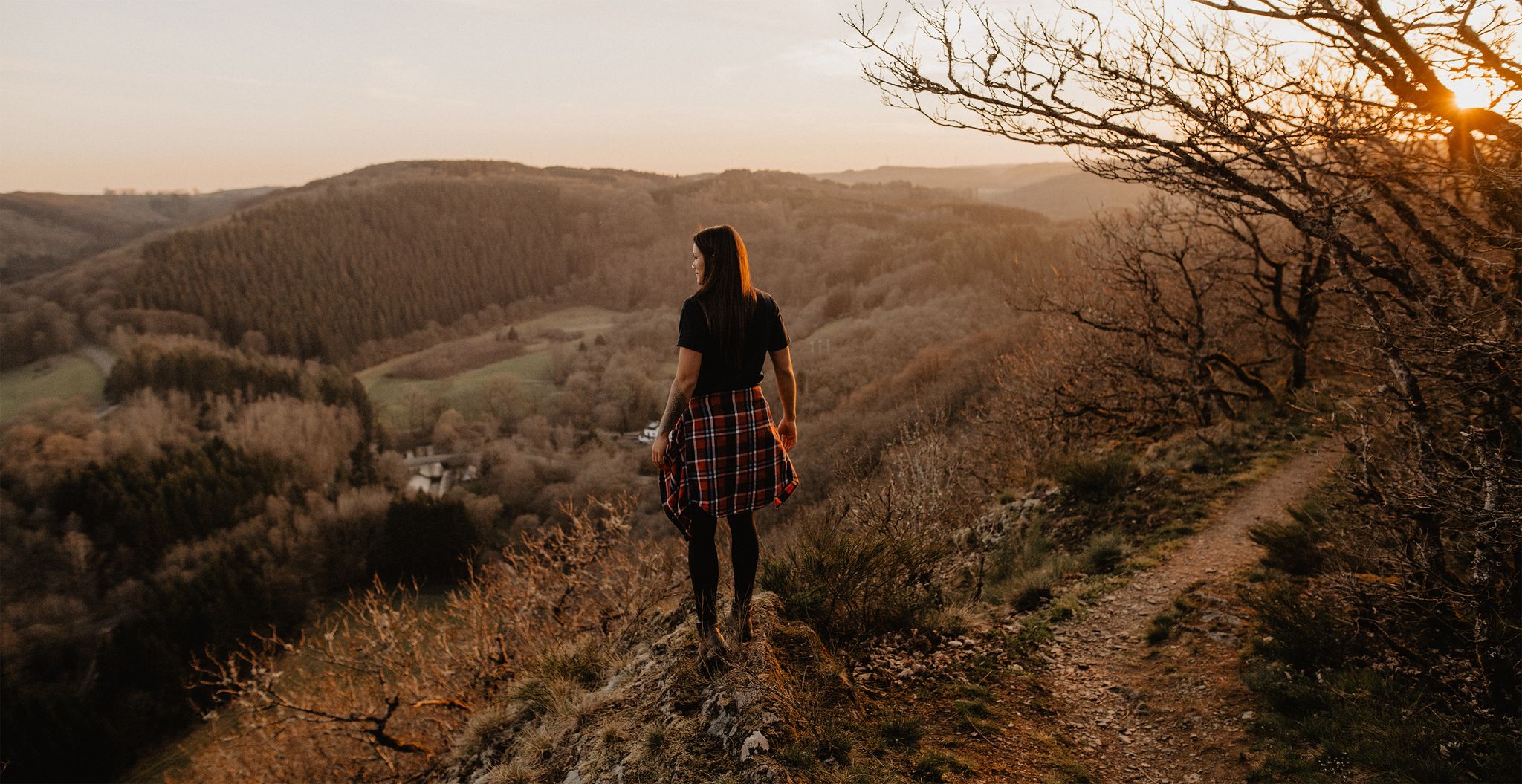
Mountaineering routes in Diekirch Canton traverse a diverse landscape characterized by rolling hills, dense forests, and the meandering Sauer River. The region features unique rock formations, deep valleys, and numerous crags suitable for climbing. While high-altitude peak ascents are not typical, the terrain offers varied elevation changes and challenging paths through its natural environment.
Best mountaineering routes in Diekirch Canton
- The most popular mountaineering route is Huel Lee (Hohllay Cave) – Labyrinth Rock Formations loop from Berdorf, a 10.1…
Last updated: October 16, 2026
4.8
(17)
47
hikers
16.2km
04:32
310m
310m
Moderate mountaineering route. Good fitness required. Easily-accessible paths. Suitable for all skill levels.
4.8
(18)
28
hikers
4.64km
01:23
70m
70m
Moderate mountaineering route. Great for any fitness level. Mostly accessible paths. Sure-footedness required.

4.9
(8)
16
hikers
34.3km
09:39
650m
650m
Hard mountaineering route. Very good fitness required. Mostly accessible paths. Sure-footedness required.
4.7
(9)
23
hikers
Moderate mountaineering route. Good fitness required. Mostly accessible paths. Sure-footedness required.
5.0
(4)
10
hikers
17.5km
04:49
290m
290m
Moderate mountaineering route. Good fitness required. Easily-accessible paths. Suitable for all skill levels.
4.9
(8)
17
hikers
10.1km
03:08
280m
280m
Moderate mountaineering route. Good fitness required. Mostly accessible paths. Sure-footedness required.
5.0
(2)
6
hikers
6.23km
01:46
80m
80m
Moderate mountaineering route. Great for any fitness level. Mostly accessible paths. Sure-footedness required.
4.8
(6)
8
hikers
11.1km
03:07
220m
220m
Moderate mountaineering route. Good fitness required. Easily-accessible paths. Suitable for all skill levels.
5.0
(7)
11
hikers
21.6km
06:07
360m
360m
Hard mountaineering route. Very good fitness required. Mostly accessible paths. Sure-footedness required.
5.0
(3)
5
hikers
Easy mountaineering route. Great for any fitness level. Easily-accessible paths. Suitable for all skill levels.
Get access to more routes and recommendations from other explorers.
Already have an account?
Our route recommendations are based on thousands of hikes, rides, and runs completed by other people on komoot.
Start today with a free account
Your next adventure awaits.
Popular around Diekirch Canton
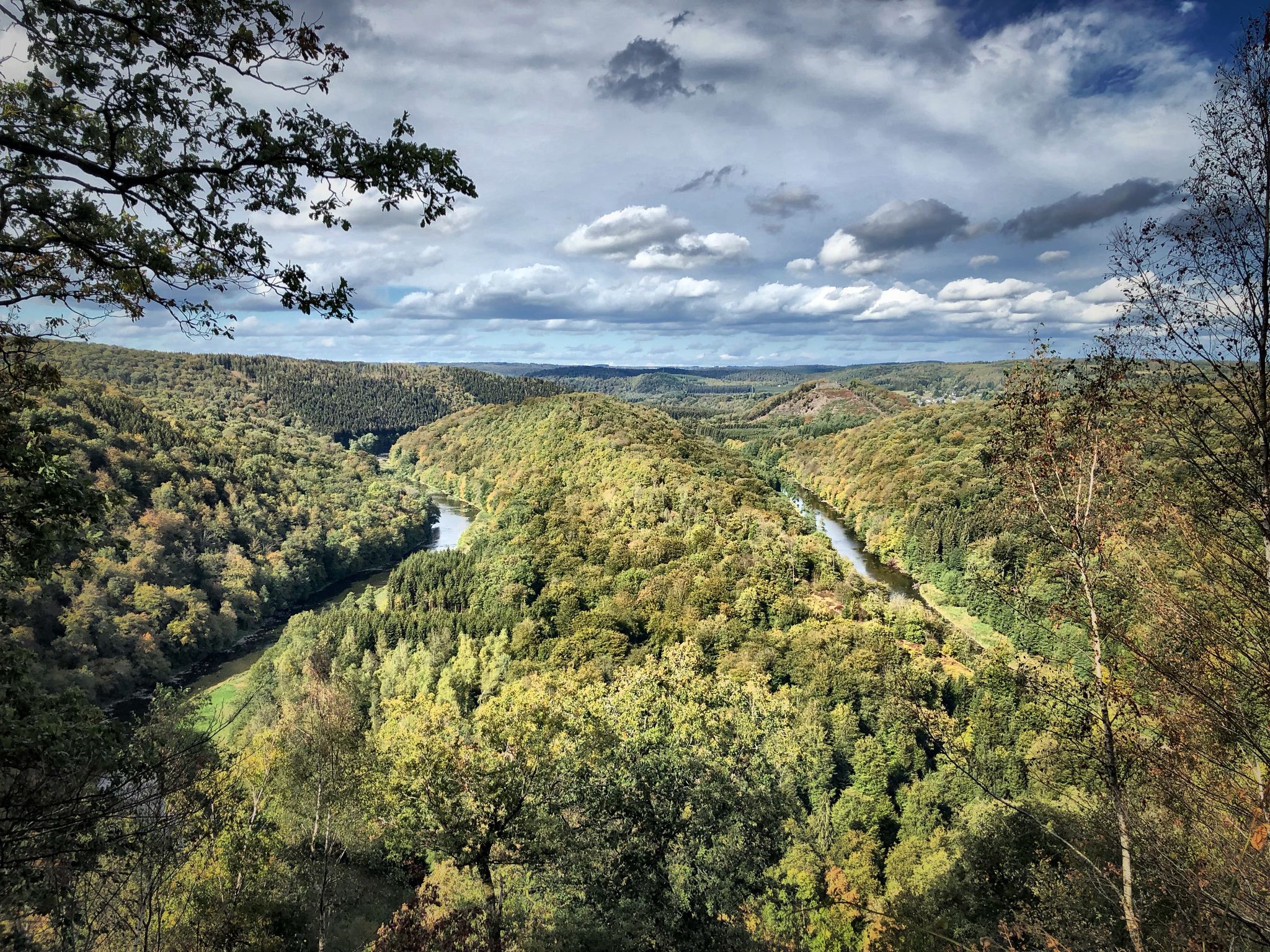
Running an ultra in Belgium – long trails in a small country
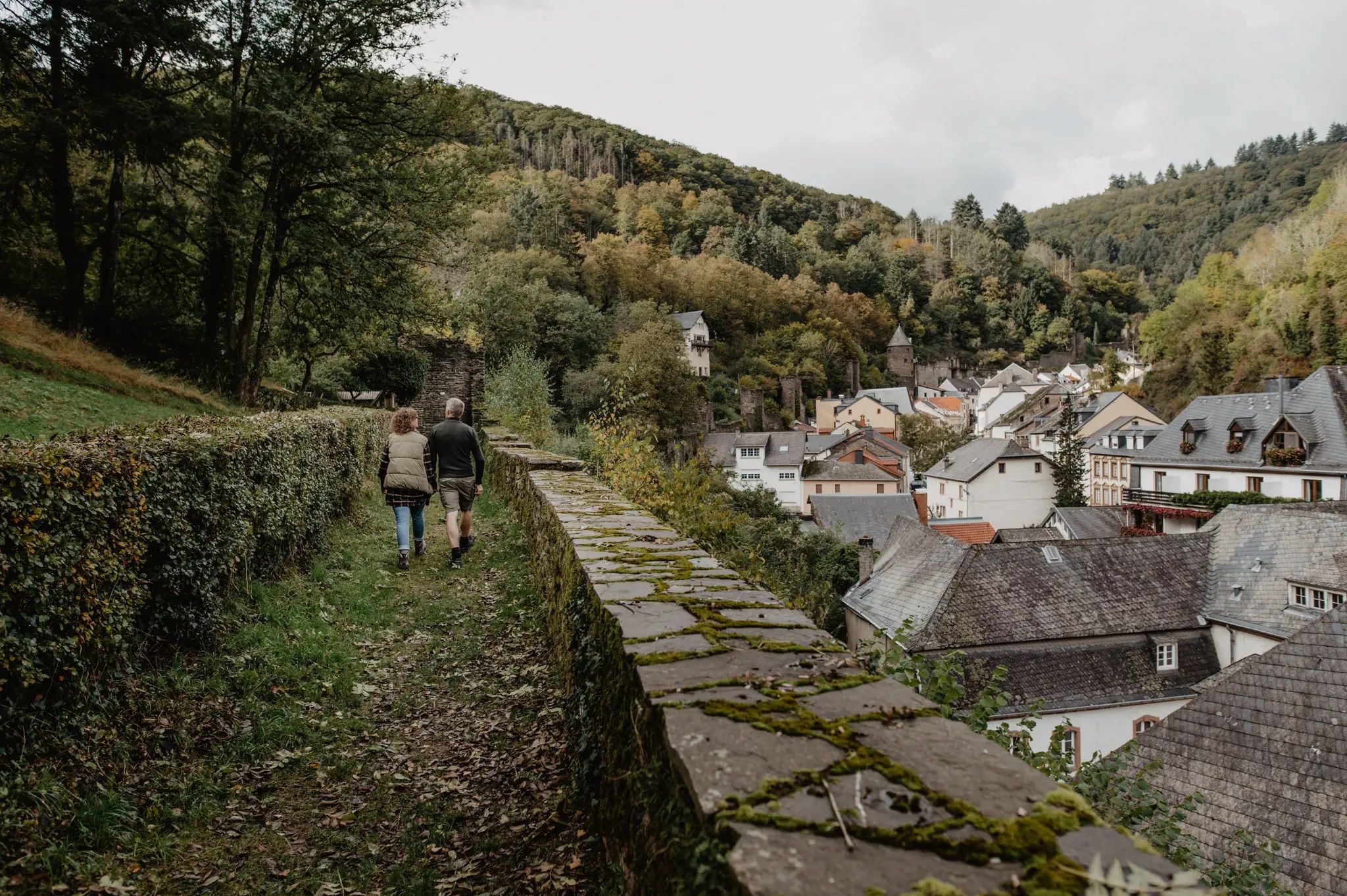
Enjoy the silence – autumn and winter hiking in Luxembourg

Hits for Kids — Mullerthal
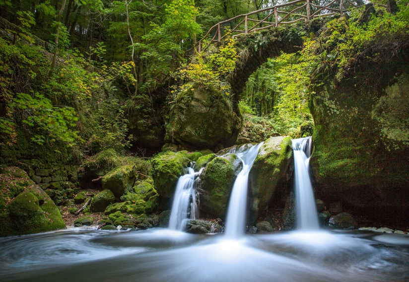
Mullerthal Trail - The most beautiful routes across Luxembourg's Little Switzerland

Road Cycling — Speeding through the Mullerthal Region

Thematic Trails - Hidden stories of the Mullerthal Region

Mountain Biking - Trails through the Mullerthal Region - Luxembourg's Little Switzerland

Our tour suggestions - Highlight hiking tours in the heart of the Mullerthal Region
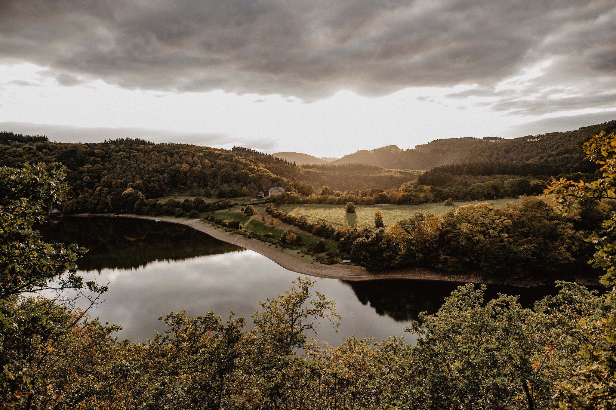
Éislek Wanderlust – The most beautiful hiking trails in the north of Luxembourg
Éislek Pied - 18 top hiking trails in the north of Luxembourg
Other adventures in Diekirch Canton


Tips from the Community

Sure-footedness and good footwear are an absolute must here, and then you can really enjoy it. It is also recommended to go during the week rather than on the weekend.
0
0

The amphitheater "Breechkaul" was established in 1979 in a rock hollowed out in the Middle Ages for the extraction of millstones. In summer, well-attended concerts of all kinds are held there. Known and loved far beyond the borders is the "Berdorfer Hubertusmesse" (Haupeschmass) on the first Sunday after November 2nd at 10:45 AM. (Regio Mullerthal)
4
0
The original wooden structure was washed away by heavy floods in June 2018. A new, flood-safe bridge of approximately 38 meters has now been installed.
4
0
Viewpoint, but with the vegetation in late summer there is not much to see.
7
0
On this part of the rock faces is the only climbing area in the sandstone landscape. Climbing is only permitted for members of recognized climbing associations.
6
0
The romantic gorge of the Ruetsbech will not be easily forgotten. Incredibly beautiful and also a bit mysterious. Enjoy it.
7
0
In the rock labyrinth of the Eulenhorst rock formation, you sometimes feel like you're getting lost among all the high rock crevices, passages, small stairs, etc. But you usually find the path again.
6
0
Beautiful viewpoint. Under the imposing wooden cross, the Sauer valley stretches out before you. Enjoy the panorama and - if necessary - you can rest on the bench. Beautiful viewpoint. Under the imposing wooden cross, the Sauer valley stretches out before you. Enjoy the panorama and - if necessary - you can rest on the bench.
6
0
Frequently Asked Questions
What kind of terrain can I expect on mountaineering routes in Diekirch Canton?
Mountaineering routes in Diekirch Canton traverse a diverse landscape featuring rolling hills, dense forests, and the meandering Sauer River. You'll encounter unique rock formations, deep valleys, and various crags. While high-altitude peak ascents are not typical, the terrain offers varied elevation changes and challenging paths through its natural environment, particularly in areas like the Mullerthal Region, known as 'Luxembourg's Little Switzerland'.
Are there any family-friendly mountaineering routes in Diekirch Canton?
Yes, Diekirch Canton offers routes suitable for families. While specific 'family-friendly' designations aren't always explicit for mountaineering, many moderate trails can be enjoyed by families with older children or those accustomed to hiking. For example, the Predigtstuhl (Preacher's Chair) rock formation – Binzeltschlüff loop from Berdorf is a moderate 6.3 km route that takes about 2 hours to complete, offering interesting rock formations without excessive difficulty. Always check the route details for distance and elevation before heading out with children.
Can I bring my dog on the mountaineering trails in Diekirch Canton?
Many trails in Diekirch Canton are dog-friendly, allowing you to explore the region's natural beauty with your canine companion. It's always recommended to keep your dog on a leash, especially in nature reserves or areas with wildlife. A good option to consider is the Eulenburg Rock Formation – Goldfralay Rock Formations loop from Waldbillig, a moderate 9.4 km route that takes around 2 hours 37 minutes, offering varied scenery for you and your dog to enjoy.
What natural features or landmarks can I see along the routes?
Diekirch Canton is rich in natural features and historical landmarks. You'll find unique rock formations like the 'Doigt de Dieu' (Finger of God) and the ancient Deiwelselter (Devil's Altar). Many routes pass through dense forests and along river valleys, such as the Sauer River. Some trails also lead to impressive viewpoints, offering panoramic vistas over the verdant valleys. For example, the route Cascade Waterfall (Müllerthal) – Beautiful rock formations ⛰️⛰️ loop from Waldbillig will take you past stunning rock formations and a waterfall.
Are there any circular mountaineering routes available?
Yes, many mountaineering routes in Diekirch Canton are designed as circular loops, allowing you to start and end at the same point. This is convenient for those traveling by car. Examples include the popular Huel Lee (Hohllay Cave) – Labyrinth Rock Formations loop from Berdorf, a moderate 16.2 km trail, and the shorter The gorge – View from the Adlerhorst Cliff loop from Berdorf, a moderate 4.8 km path.
What is the best time of year for mountaineering in Diekirch Canton?
The best time for mountaineering in Diekirch Canton is generally from spring to autumn (April to October). During these months, the weather is milder, and the trails are typically dry and well-maintained. Spring brings blooming flora, while autumn offers stunning fall foliage. While winter mountaineering is possible, some trails might be slippery or partially covered in snow, requiring appropriate gear and caution.
How many mountaineering routes are there in Diekirch Canton?
There are over 20 mountaineering routes available in Diekirch Canton, catering to various skill levels. These include 2 easy routes, 15 moderate routes, and 6 difficult routes, ensuring there's something for everyone from casual hikers to experienced mountaineers.
What do other mountaineers enjoy most about the routes in Diekirch Canton?
The routes in Diekirch Canton are highly rated by the komoot community, with an average score of 4.7 stars from over 100 reviews. Reviewers often praise the unique rock formations, the serene beauty of the dense forests, and the picturesque river valleys. Many appreciate the well-marked paths and the diverse terrain that offers both challenging sections and rewarding views.
Are there any challenging or advanced mountaineering routes in the region?
Yes, Diekirch Canton offers several challenging routes for experienced mountaineers. These routes often feature significant elevation changes and longer distances. For instance, the Labyrinth Rock Formations – Huel Lee (Hohllay Cave) loop from Waldbillig is a difficult 34.2 km trail that can take over 9 hours to complete, leading through extensive rock formations and past the Huel Lee cave. Another challenging option is the View from the Adlerhorst Cliff – The gorge loop from Berdorf, a difficult 21.1 km route.
Where can I find parking for the mountaineering trails?
Many trailheads in Diekirch Canton, especially those starting from towns like Berdorf, Waldbillig, or Beaufort, offer designated parking areas. It's advisable to check the specific route details on komoot for information on starting points and nearby parking facilities. Public parking is generally available in the villages that serve as access points to the trails.
Are there any cafes or places to eat near the mountaineering trails?
Yes, the towns and villages surrounding the mountaineering trails in Diekirch Canton, such as Diekirch, Berdorf, Waldbillig, and Beaufort, offer various cafes, restaurants, and guesthouses where you can refuel after your hike. These establishments often provide local cuisine and refreshments. It's a good idea to check opening hours, especially during off-peak seasons.
What are some hidden gems or less-traveled routes in Diekirch Canton?
While many routes are popular, Diekirch Canton still holds hidden gems. Exploring trails that venture deeper into the Ardennes Natural Park or the lesser-known parts of the Mullerthal region can lead to quieter experiences. Consider routes like the The Overlook – The gorge loop from Bollendorf, a moderate 10.2 km route, which offers stunning views and a sense of discovery away from the busiest spots.
Most popular routes in Diekirch Canton
Most popular attractions in Diekirch Canton

Get inspired with the komoot mobile app


Explore more
Browse the best Mountain Hikes & Routes in other regions.
