The best mountain hikes in Teramo
4.9
(83)
561
hikers
13
hikes
Mountaineering in Teramo, located in the Abruzzo region, offers access to the Gran Sasso d'Italia massif, characterized by its rugged limestone peaks and high-altitude plateaus. The terrain features exposed ridges, steep ascents, and alpine environments, providing challenging conditions for experienced mountaineers. This area is known for its dramatic mountain landscapes and significant elevation changes.
Best mountaineering routes in Teramo
- The most popular mountaineering route is Campo Imperatore – Corno Grande loop from Campo Imperatore, a 6.7 miles (10.7 km)…
Last updated: October 11, 2026
4.9
(37)
260
hikers
10.7km
05:22
770m
770m
Hard mountaineering route. Very good fitness required. Sure-footedness, sturdy shoes and alpine experience required.
4.7
(9)
55
hikers
12.9km
07:35
1,230m
1,230m
Hard mountaineering route. Very good fitness required. Sure-footedness, sturdy shoes and alpine experience required.

5.0
(1)
12
hikers
Moderate mountaineering route. Great for any fitness level. Mostly accessible paths. Sure-footedness required.
5.0
(1)
15
hikers
Hard mountaineering route. Very good fitness required. Sure-footedness, sturdy shoes and alpine experience required.
5.0
(1)
17
hikers
8.52km
03:36
410m
410m
Hard mountaineering route. Good fitness required. Sure-footedness, sturdy shoes and alpine experience required.
8
hikers
9.94km
04:04
530m
530m
Hard mountaineering route. Good fitness required. Sure-footedness, sturdy shoes and alpine experience required.
5.0
(2)
8
hikers
10.1km
07:53
1,090m
1,090m
Hard mountaineering route. Very good fitness required. Sure-footedness, sturdy shoes and alpine experience required.
3
hikers
12.9km
05:40
820m
820m
Hard mountaineering route. Very good fitness required. Sure-footedness, sturdy shoes and alpine experience required.
Get access to more routes and recommendations from other explorers.
Already have an account?
Our route recommendations are based on thousands of hikes, rides, and runs completed by other people on komoot.
Start today with a free account
Your next adventure awaits.
Popular around Teramo
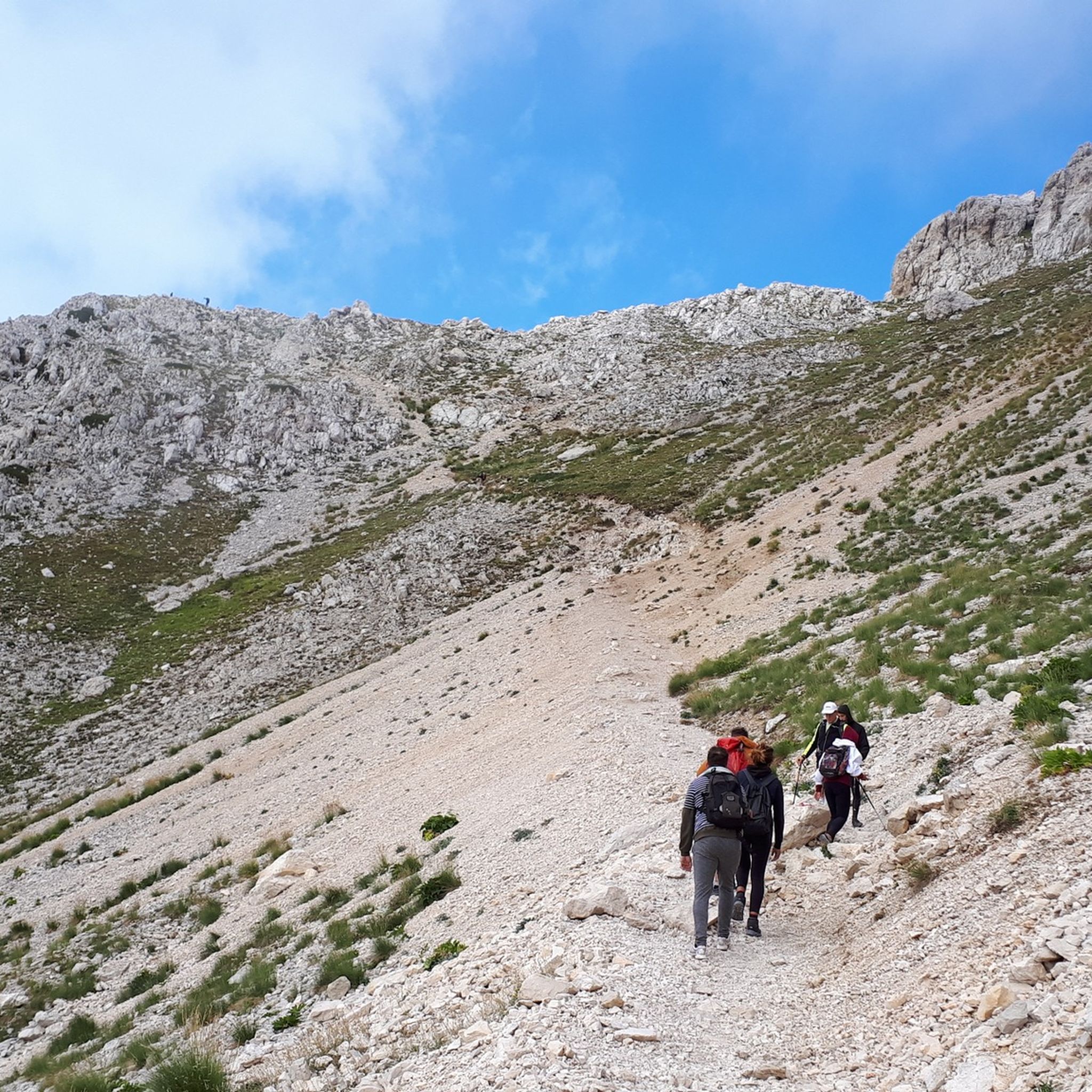
Mountain Hikes around Parco Nazionale del Gran Sasso e Monti della Laga
Mountain Hikes around Isola Del Gran Sasso D'Italia
Mountain Hikes around Pietracamela
Mountain Hikes around Fano Adriano
Mountain Hikes around Crognaleto

Mountain Hikes around Tossicia

Mountain Hikes around Castelli
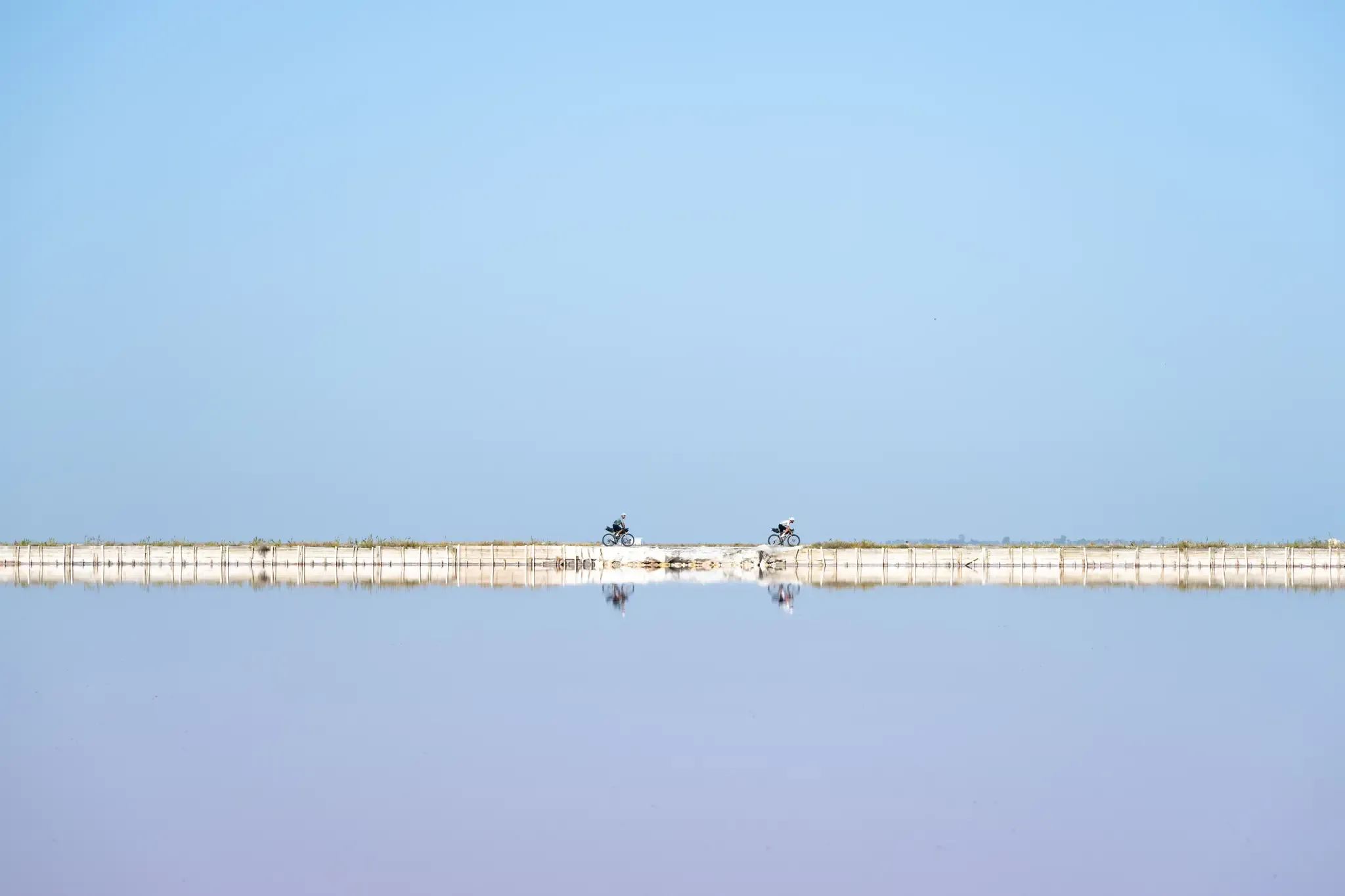
Trieste to Santa Maria di Leuca – the Adriatic Cycle Route
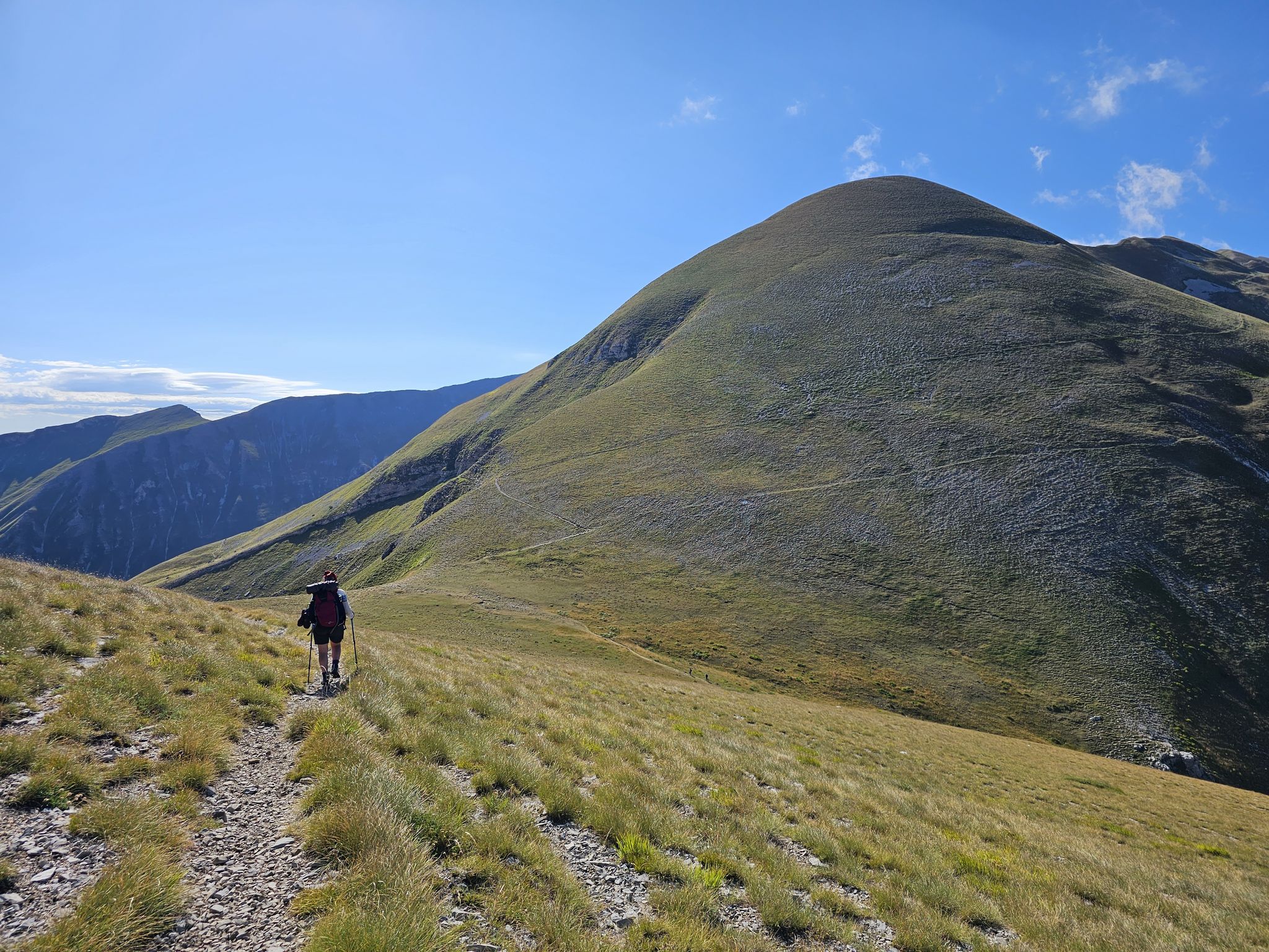
The Sibillini Mountains to Gran Sasso – the Great Apennine Crossing
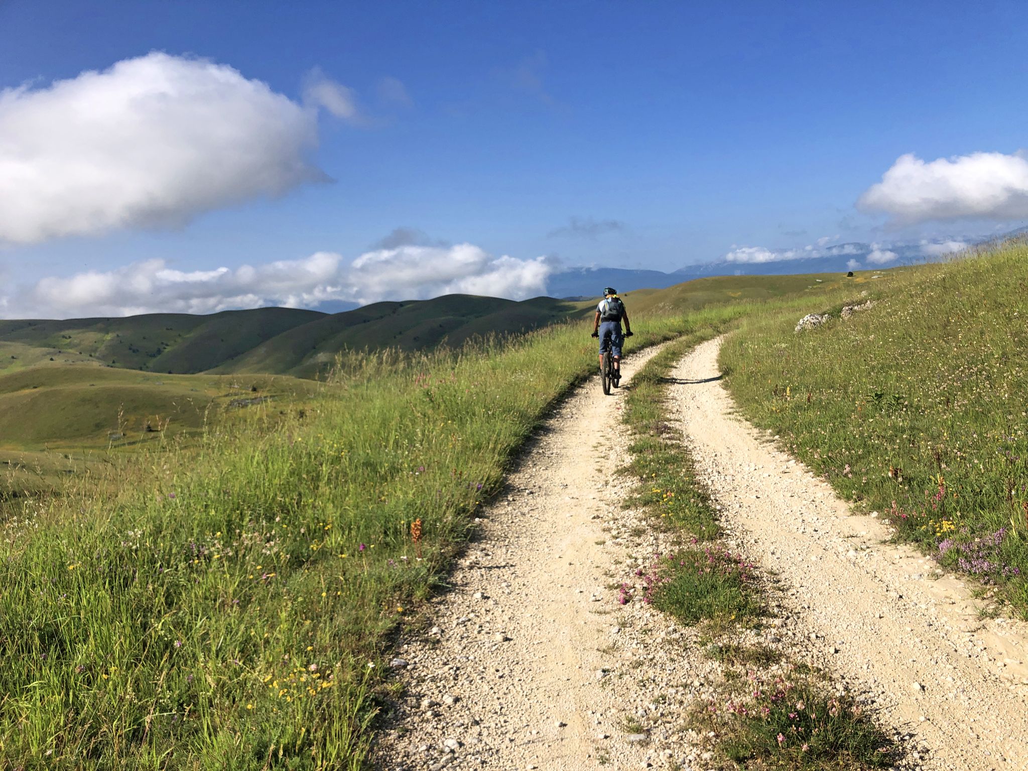
The Adriatic Sea to Gran Sasso – MAGS Abruzzo Trail 2023
Other adventures in Teramo


Tips from the Community

The summit is easily reachable from the hotel in Campo Imperatore or from Vado di Corno. Suitable for those approaching the world of high-altitude hiking.
0
0

The panoramas once you climb from Campo Imperatore are all majestic
0
0
Built there because the night sky from up there touches the heart and relaxes the spirit. In any case, a welcome sight when you descend :)
0
0

Not a trivial ferrata, avoid during the hottest hours
0
0
Minor peak of Gran Sasso but with an equally valid panorama
0
0
Immense panorama of the Vallone delle Cornacchie and the eastern and southern peaks of the chain
0
0

Campo Imperatore is an absolute must-see due to its otherworldly, vast mountain landscape, also known as 'Little Tibet' (Piccolo Tibet). It is one of the largest and highest plateaus in Europe (located at approx. 1,800 to 2,100 meters).
4
0
The endpoint by car is the large mountain square Piazzale di Campo Imperatore (2,130 meters). The breathtaking mountain road SS17bis leads you from the valley right up to the doors of the Hotel Campo Imperatore and the Astronomical Observatory. Why shouldn't you miss Campo Imperatore? Because here you are right in the middle of the high mountains without a strenuous climb. At an altitude of 2,130 meters, you are surrounded by impressive mountain peaks and begin one of the most beautiful hiking areas in the Apennines. The car journey there is an experience in itself: a winding road through the spectacular landscape of 'Little Tibet', where you often encounter horses, cows, and large flocks of sheep along the way. At the top, you will also find a unique mix of nature, history, and culture, with the historic hotel where Mussolini was imprisoned, the highest church in Italy, the astronomical observatory, and cozy food trucks where you can enjoy local specialties such as fresh pecorino and generously filled sandwiches.
5
0
Frequently Asked Questions
What level of experience is required for mountaineering in Teramo?
Mountaineering in Teramo, particularly within the Gran Sasso d'Italia massif, is characterized by high alpine environments, rocky ridges, and challenging ascents. All 16 routes listed in this guide are rated as difficult, making them suitable primarily for experienced mountaineers seeking demanding conditions.
Are there any easy or family-friendly mountaineering routes in Teramo?
The mountaineering routes in Teramo are generally challenging, with all 16 routes in this guide classified as difficult. The terrain involves significant elevation changes and exposed sections, making them less suitable for beginners or young families. For easier outdoor activities, you might consider exploring other types of trails in the region.
What is the best season for mountaineering in Teramo?
The ideal season for mountaineering in Teramo is typically from late spring to early autumn (June to September) when snow has largely melted from higher elevations and weather conditions are more stable. However, conditions can change rapidly in the mountains, so always check the forecast before heading out.
Are there any circular mountaineering routes in Teramo?
Yes, many of the mountaineering routes in Teramo are circular, offering a complete loop back to your starting point. Examples include the challenging Campo Imperatore – Pizzo Cefalone loop from Campo Imperatore, which covers 8.6 km, or the longer Campo Imperatore – View of Val Maone loop from Campo Imperatore, spanning 12.9 km.
What kind of wildlife might I encounter on the mountaineering routes in Teramo?
The Gran Sasso d'Italia massif is home to diverse wildlife. While mountaineering, you might spot chamois, marmots, and various bird species, including eagles. Maintaining a respectful distance and observing from afar is always recommended to avoid disturbing their natural habitat.
What are some notable landmarks or attractions near the mountaineering trails?
Beyond the stunning mountain landscapes, the Teramo region offers interesting attractions. You can find beautiful lakes such as Crested Newt Pond or Lake Piaganini. The area also features historical castles and fortifications, like the impressive Civitella del Tronto Historic Town and Fortress, which are worth exploring.
Are there any huts or refuges along the mountaineering routes in Teramo?
Yes, there are refuges available in the Gran Sasso area that can serve as resting points or overnight stays. For instance, the Campo Imperatore – Rifugio Duca degli Abruzzi loop from Campo Imperatore specifically includes a refuge, providing a valuable stop on your mountaineering journey.
What do other mountaineers enjoy most about the routes in Teramo?
The mountaineering routes in Teramo are highly rated by the komoot community, with an average score of 4.9 stars from over 60 reviews. Reviewers often praise the dramatic mountain landscapes, the challenging nature of the ascents, and the sense of accomplishment gained from tackling the rugged terrain of the Gran Sasso d'Italia massif.
Are permits required for mountaineering in the Teramo region?
While specific permits for general mountaineering in the Gran Sasso d'Italia National Park are not typically required for day hikes, certain activities or access to specific protected areas might have regulations. It's always advisable to check with the Gran Sasso e Monti della Laga National Park authority for the most current information regarding any necessary permits or restrictions before your trip.
Can I find routes that include via ferrata sections in Teramo?
Yes, the Teramo region offers mountaineering routes that incorporate via ferrata sections for an added challenge. A notable example is the Ferrata Danesi – Corno Piccolo (2655 m) loop from Prati di Tivo, which traverses exposed alpine terrain and includes these specialized climbing sections.
How many mountaineering routes are available in Teramo?
There are over 15 mountaineering routes available in the Teramo region, all of which are rated as difficult. This guide specifically highlights 9 of the top routes, providing ample options for experienced mountaineers.
Are there any routes that lead to the highest peaks in the Apennines?
Yes, several routes in Teramo offer access to the highest peaks in the Apennines. For instance, the Corno Grande East Summit – Corno Grande Ridge loop from Gran Sasso d'Italia provides an opportunity to experience the grandeur of Corno Grande, the highest peak in the Apennines.
Most popular routes in Teramo
Most popular attractions in Teramo

Get inspired with the komoot mobile app


Didn’t find what you were looking for?
Check out more Mountain Hikes & Routes throughout Teramo below and find the perfect route in your destination.
