The best walks and hikes around Nanton
4.4
(283)
1,310
hikers
118
hikes
Hiking around Nanton offers a blend of prairie landscapes and distant mountain views. The region is characterized by rolling hills and expansive open spaces, with the Canadian Rocky Mountains visible to the west. This geographical setting provides a diverse visual experience, from wide prairie skies to the distant peaks. The area features local multi-use paths and serves as a gateway to nearby natural attractions.
Best hiking trails around Nanton
- The most popular hiking route is La roche d'Aujou — loop…
Last updated: July 6, 2026
2.0
(1)
9
hikers
6.08km
01:42
120m
120m
Easy hike. Great for any fitness level. Easily-accessible paths. Suitable for all skill levels.
4.8
(4)
12
hikers
9.60km
02:49
270m
270m
Moderate hike. Good fitness required. Easily-accessible paths. Suitable for all skill levels.

Sign up for free
4.5
(2)
11
hikers
9.86km
02:51
250m
260m
Moderate hike. Good fitness required. Easily-accessible paths. Suitable for all skill levels.
3.0
(1)
5
hikers
Moderate hike. Good fitness required. Easily-accessible paths. Suitable for all skill levels.
7
hikers
4.26km
01:13
110m
110m
Easy hike. Great for any fitness level. Easily-accessible paths. Suitable for all skill levels.
Get access to more routes and recommendations from other explorers.
Sign up for free
Already have an account?
Our route recommendations are based on thousands of hikes, rides, and runs completed by other people on komoot.
Start today with a free account
Your next adventure awaits.
Login or Signup


Tips from the Community

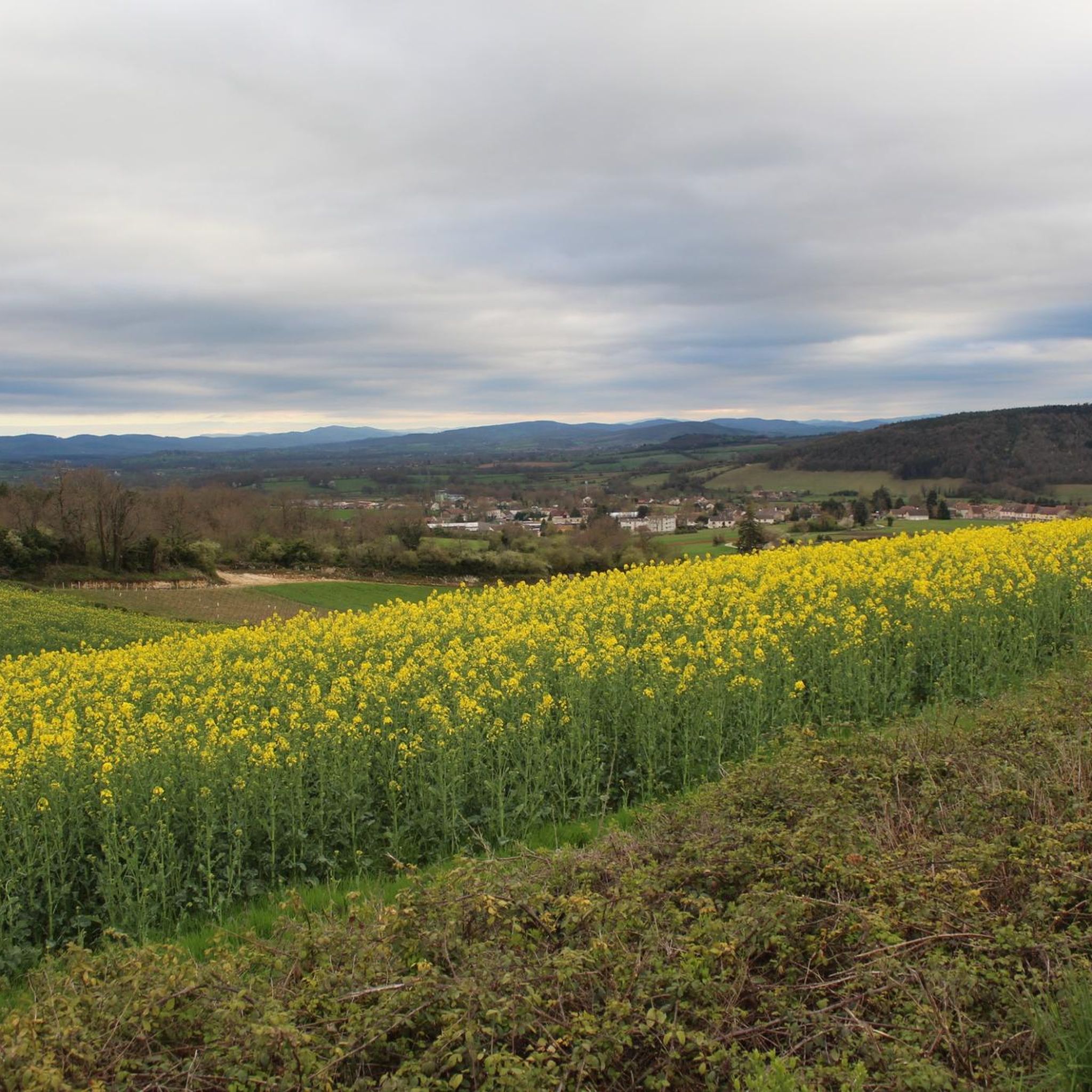
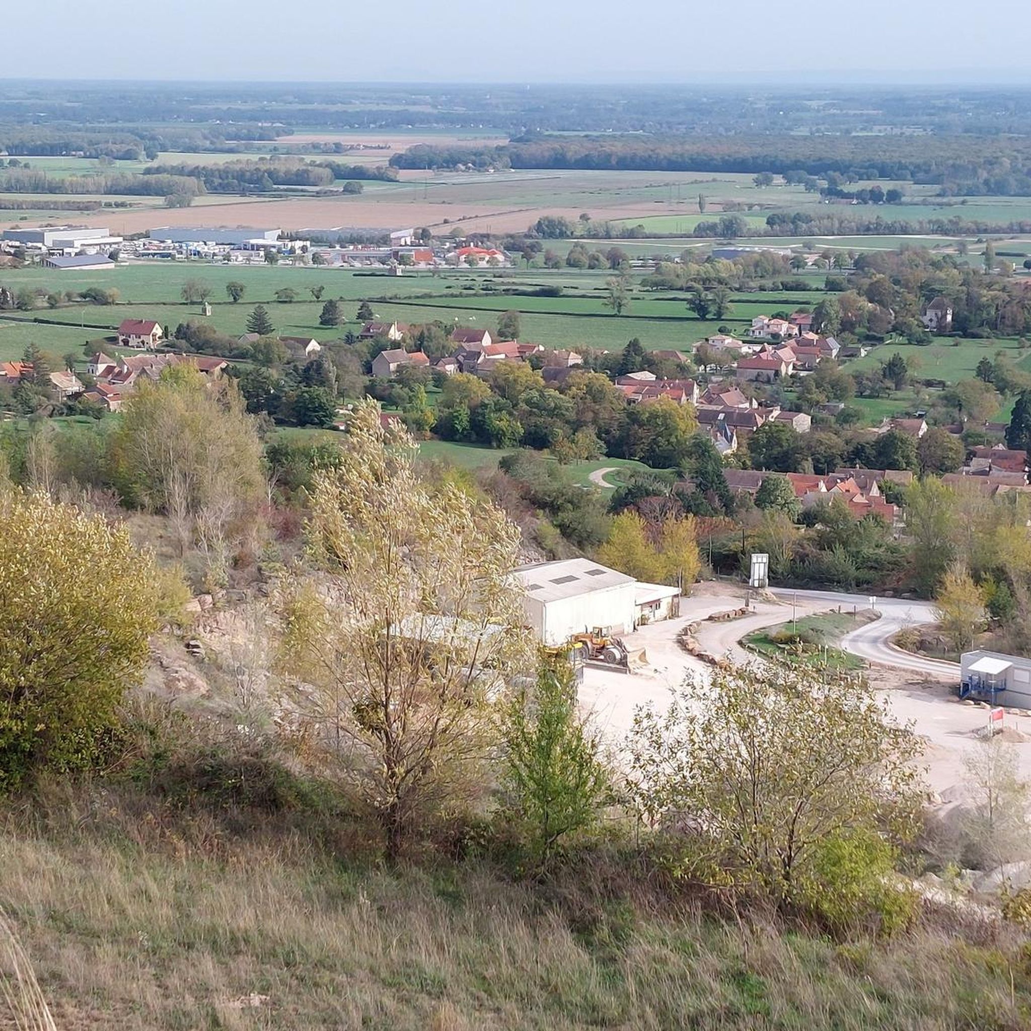
Saint-Martin-de-Laives designates the former name of the municipality of Laives, abandoned in 1793 in the revolutionary context. The name still exists today through the church of Saint-Martin-de-Laives. From the top of the hill, you can enjoy two splendid viewpoints: one over the Saône valley and the town of Sennecey, the other over the Grosne valley.
1
0
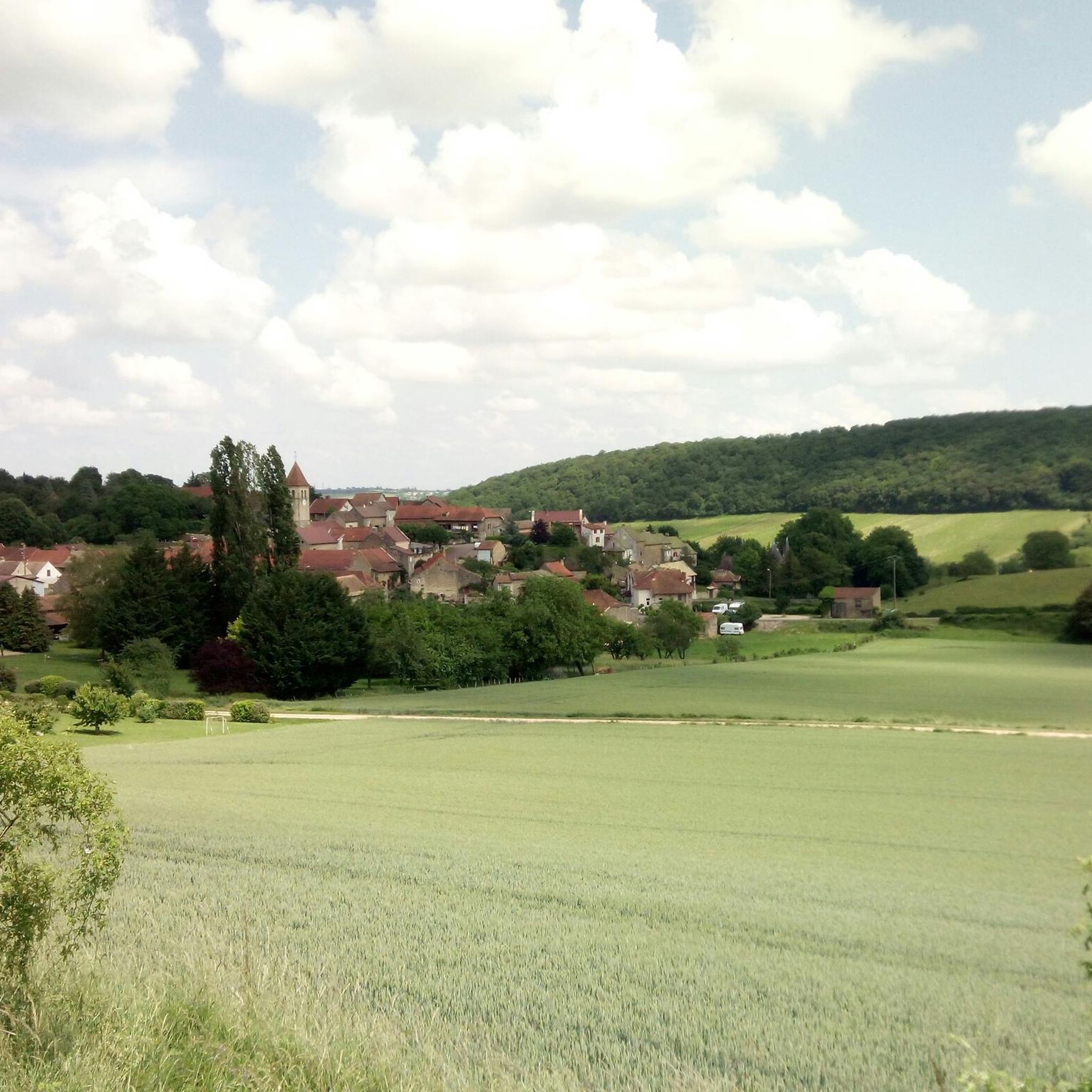
In the Middle Ages, a village called Saint Germain-des-Buis was located at this spot, of which today only the ruins of the church remain, in the current commune of Nanton in Saône-et-Loire. The inhabitants abandoned the village due to plague epidemics and a lack of water.
0
0

This location is part of a moderate circular hike starting from Mancey. The path there leads over easily walkable trails through nature and rewards hikers with this wide panoramic view over the French countryside.
0
0
The classic ascent from Mancey is considered a tough short climb in Category 3. Over a distance of 2.2 kilometers, 166 meters of altitude must be overcome. The average gradient is 7.55%, with peak sections of up to 14%. The path junction leads to various hiking trails and gravel paths through the wooded and wine-rich hilly landscape of the Mâconnais.
0
0
The pass is located on Rue des Maquisards in the municipality of Nanton. It is a popular destination for cycling tours. The ascent from the municipality of Mancey covers a distance of 2.2 kilometers. Cyclists overcome 166 meters of altitude on this tough route with an average gradient of 7.55%. The surrounding area also offers a versatile network of trails for easy to medium-difficulty hikes through rolling hills, mixed forests, and to nearby viewpoints such as Roche d'Aujou.
0
0
The rock, located at an altitude of just under 480 meters, offers a wide panorama over the Grosne valley. In addition to its scenic beauty, the place is historically significant: during World War II, it served as a secret hiding place for young members of the French Resistance.
0
0

Hello, I couldn't finish the walk because one of the paths was impassable (piles of debris)! Apart from that, the beginning is very pretty!
0
0
Frequently Asked Questions
How many hiking trails are available around Nanton?
Nanton and its surrounding area offer a wide variety of hiking opportunities, with over 120 routes documented on komoot. These range from easy local paths to more challenging trails in nearby natural areas.
What types of trails can I expect to find in the Nanton area?
The Nanton area features a diverse landscape, offering trails that traverse rolling prairie hills and provide distant views of the Canadian Rocky Mountains. You'll find local multi-use paved paths for easy strolls, as well as more rugged options in nearby provincial parks like Chain Lakes.
Are there easy or beginner-friendly hikes near Nanton?
Yes, Nanton is well-suited for beginners and those seeking easy walks. There are over 55 easy routes available. Within Nanton, you can enjoy paved paths like the Westview Meadows Loop or the Regional Path in Lion's Grove Park, both perfect for a relaxed outing.
Can I bring my dog on the hiking trails around Nanton?
Many trails in and around Nanton are dog-friendly. For example, the Westview Meadows Loop within Nanton permits dogs, offering a convenient option for walking your furry companion. Always check local signage for specific rules in provincial parks or other natural areas.
Are there any circular walks or loop trails in the Nanton region?
Yes, the Nanton area offers several circular routes, providing varied scenery without retracing your steps. These loops are popular for experiencing the diverse prairie landscapes and distant mountain views.
What are some natural attractions or places to explore near Nanton?
Beyond Nanton's local charm, you can explore natural attractions like Chain Lakes Provincial Park, just 20 minutes away. This park offers stunning views of distant peaks, rolling hills, and opportunities for boating, fishing, and wildlife viewing. The Coutts Centre for Western Canadian Heritage also features beautiful gardens and walking trails.
What do other hikers say about the trails around Nanton?
The hiking experiences around Nanton are highly regarded by the komoot community, with an average rating of 4.4 stars from over 250 reviews. Hikers often praise the scenic prairie views, the accessibility of local paths, and the peaceful atmosphere.
Are there any trails suitable for families with children?
Absolutely. Nanton offers several family-friendly options. The paved paths like the Regional Path in Lion's Grove Park are ideal for families, providing easy, safe surfaces for walking and enjoying the local environment.
Is there parking available at the trailheads around Nanton?
For local trails within Nanton, parking is generally accessible near parks and community areas. For trails in nearby provincial parks like Chain Lakes, designated parking lots are available for visitors. It's always advisable to check specific park information before your visit.
What is the best time of year to go hiking in Nanton?
Nanton offers hiking opportunities throughout much of the year. Spring and fall provide pleasant temperatures and vibrant scenery, while summer is excellent for enjoying longer days and activities at Chain Lakes Provincial Park. Winter can offer unique snowy landscapes, though some trails may be less accessible.
Are there any challenging or difficult hikes near Nanton?
While Nanton itself has mostly easy to moderate trails, the broader region, including areas like Chain Lakes Provincial Park, offers more challenging terrain with greater elevation changes. For truly rugged wilderness hiking, areas like Banff and Kananaskis Country are within a reasonable drive.
Can I find trails with significant elevation changes around Nanton?
The immediate Nanton area is characterized by rolling hills, offering gentle elevation changes. However, if you venture to nearby areas like Chain Lakes Provincial Park, you'll encounter more pronounced ascents and descents, providing a more strenuous workout and expansive views.
Most popular attractions around Nanton

Get inspired with the komoot mobile app


Explore more
Browse the best Hikes in other regions.
