The best road cycling routes around Chaintré
4.4
(157)
4,797
riders
461
rides
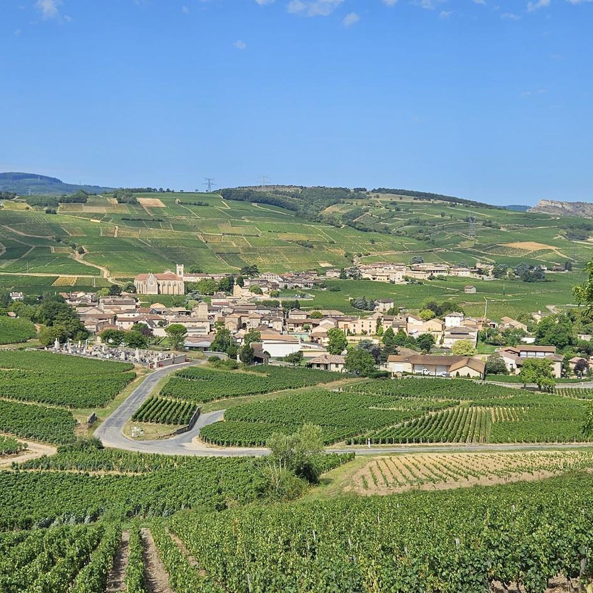
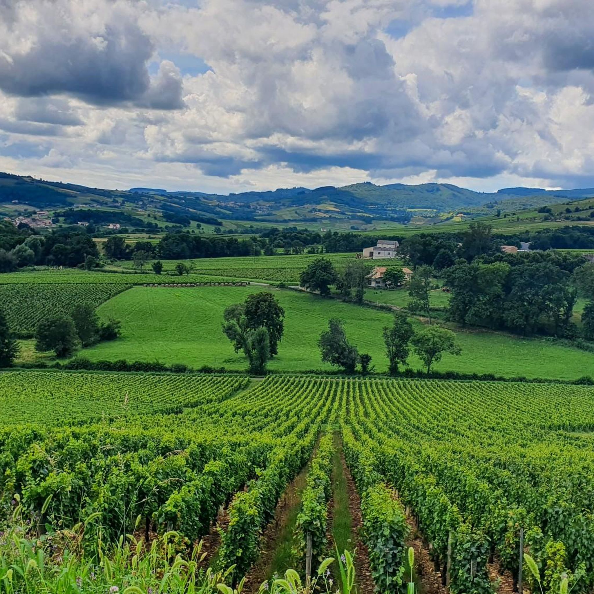
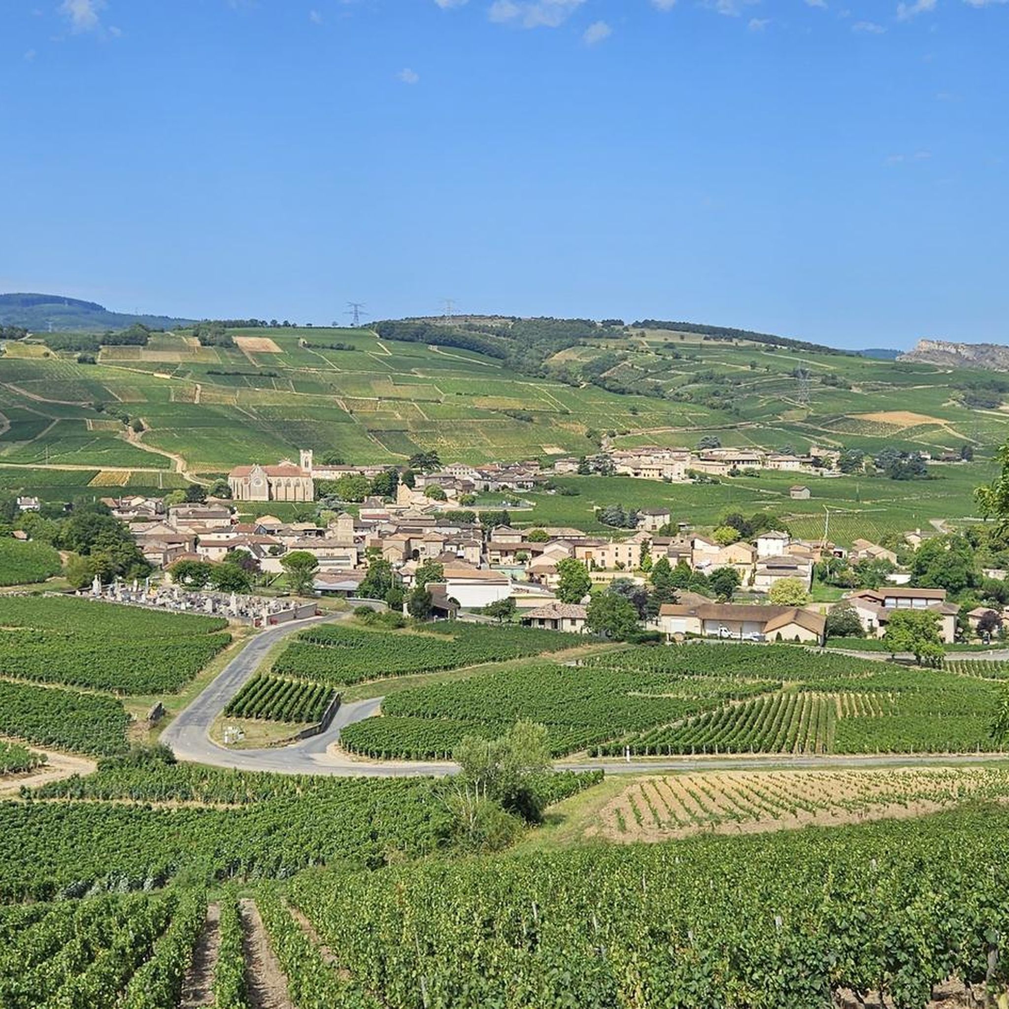
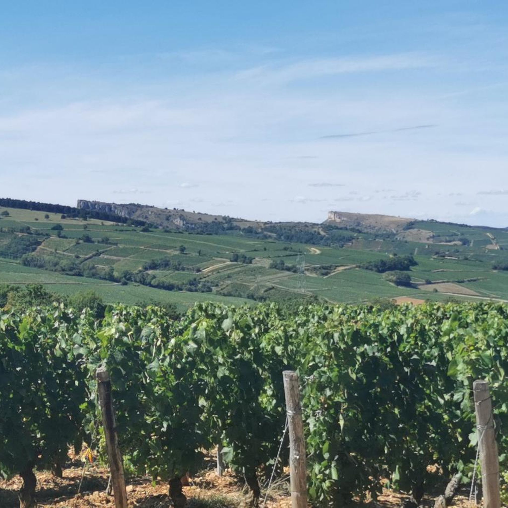
Road cycling routes around Chaintré traverse a landscape characterized by rolling hills, notable passes, and prominent geological features like Mont Brouilly and Roche de Solutré. The region's terrain offers varied elevations, with routes often including significant ascents and descents. This area provides a network of roads suitable for endurance cycling.
Best road cycling routes around Chaintré
- The most popular road cycling route is West side of Mont Brouilly – Ascent to Mont Brouilly loop from Crêches-sur-Saône, a 36.6 miles…
Last updated: July 5, 2026
4.9
(8)
76
riders
62.1km
03:14
1,010m
1,010m
Hard road ride. Very good fitness required. Mostly well-paved surfaces and easy to ride.
21
riders
13.5km
00:45
220m
220m
Easy road ride. Great for any fitness level. Mostly well-paved surfaces and easy to ride.

Sign up for free
14
riders
98.2km
04:51
1,400m
1,400m
Hard road ride. Very good fitness required. Mostly well-paved surfaces and easy to ride.
13
riders
84.7km
04:02
1,080m
1,080m
Hard road ride. Very good fitness required. Mostly well-paved surfaces and easy to ride.
14
riders
103km
05:22
1,600m
1,600m
Hard road ride. Very good fitness required. Mostly well-paved surfaces and easy to ride.
Get access to more routes and recommendations from other explorers.
Sign up for free
Already have an account?
Our route recommendations are based on thousands of hikes, rides, and runs completed by other people on komoot.
Start today with a free account
Your next adventure awaits.
Login or Signup

Tips from the Community

Although the pass is located in France and is not extremely high, its name translates to "Siberia Pass". The name goes back to the often very cold, snow-rich winds and the harsh weather conditions in winter.
1
0
The Col de Durbize is a mountain pass at 550 meters above sea level in the municipality of Chiroubles, in the heart of the Beaujolais wine region. The pass is located in the Massif Central and, as an important road junction (intersection of roads D26, D86, and D18E1), connects surrounding wine villages such as Villié-Morgon and Beaujeu. It is particularly popular with road cyclists and hikers for its panoramic views.
0
0
The pass is a popular climb for road cyclists in the region. The route from Villié-Morgon via the Col du Truges up to the higher Col du Fût d'Avenas is considered a scenically beautiful, steady tour past gentle vineyards.
0
0
The Col du Bois Clair is a 396-meter high French mountain pass in the Massif Central. It is located in the Bourgogne-Franche-Comté region in the Saône-et-Loire department and lies within the municipality of Sologny. The pass summit is crossed by the departmental road D17. Beneath the pass runs the Tunnel du Bois Clair, a former railway tunnel. At 1.6 kilometers long, it is the longest tunnel in France accessible to bicycles. Today it serves as part of the Voie Verte cycle path, but is closed from October to April to protect hibernating bats.
0
0


Chapel built after a mildew epidemic that ravaged crops. It was built to protect the site. Explanatory panels on site
1
0


Bring a light jacket; it can get cold inside. For those with vision problems, don't be afraid; the lighting isn't too bright.
0
0
Frequently Asked Questions
How many road cycling routes are available around Chaintré?
There are over 490 road cycling routes around Chaintré, offering a wide range of options for different skill levels and preferences.
What kind of terrain can I expect on road cycling routes near Chaintré?
The region around Chaintré is characterized by rolling hills, notable passes, and prominent geological features such as Mont Brouilly and Roche de Solutré. You can expect varied elevations with routes often including significant ascents and descents, providing a good challenge for endurance cycling.
Are there road cycling routes suitable for beginners in Chaintré?
Yes, Chaintré offers a good selection of routes for beginners. There are over 50 easy road cycling routes available, perfect for those looking for a less strenuous ride.
What about challenging road cycling routes for experienced riders?
For experienced road cyclists seeking a challenge, Chaintré provides over 150 difficult routes. These often feature significant climbs and descents, such as the Col de Casse Froide – Col du Fût d'Avenas loop from Crêches-sur-Saône, which covers over 100 km with more than 1600 meters of elevation gain.
Are there any long-distance road cycling routes in the Chaintré area?
Yes, many routes in Chaintré are designed for longer distances. For example, the Boubon Pass (638 m) – Col de la Sibérie, 638 m loop from Crêches-sur-Saône is a difficult 98.2 km path that navigates through multiple passes, ideal for a full day's ride.
What are some scenic viewpoints or landmarks I can see along the road cycling routes?
Many routes offer stunning views and pass by notable landmarks. You can cycle past the iconic Roche de Solutré, or enjoy panoramic vistas like the View of Mâcon and the Saône from the François Mitterand bridge. The Roche de Solutré – View of Roche Solutré loop from Crêches-sur-Saône specifically highlights these natural monuments.
Are there circular road cycling routes available?
Yes, many of the road cycling routes around Chaintré are designed as loops, allowing you to start and finish at the same point. The Truges Pass - 496 m – Col de Durbize loop from Crêches-sur-Saône is a popular circular route covering 84.7 km.
What do other road cyclists enjoy most about road cycling in Chaintré?
The area is highly rated by the komoot community, with an average score of 4.5 stars from over 170 reviews. Cyclists often praise the challenging passes, the scenic beauty of the rolling hills, and the variety of routes that cater to different ability levels.
Is Chaintré a good destination for road cycling with family?
While many routes feature significant climbs, there are over 50 easy routes that could be suitable for families looking for a more relaxed ride. It's advisable to check the elevation profiles and distances of specific easy routes to ensure they match your family's fitness level.
What is the best time of year for road cycling in Chaintré?
The region generally offers pleasant conditions for road cycling from spring through autumn. During these seasons, the weather is typically mild, and the vineyards and landscapes are at their most vibrant. Always check local weather forecasts before heading out.
Are there any natural monuments to explore near the cycling routes?
Absolutely. Beyond the famous Roche de Solutré, you can also find the Vergisson Rock and Rémont Mountain, which are significant natural features in the area and often visible or accessible from various cycling paths.
Most popular attractions around Chaintré

Get inspired with the komoot mobile app


Explore more
Browse the best Road cycling routes in other regions.
