The best walks and hikes around Narnhac
4.6
(165)
1,235
hikers
29
hikes
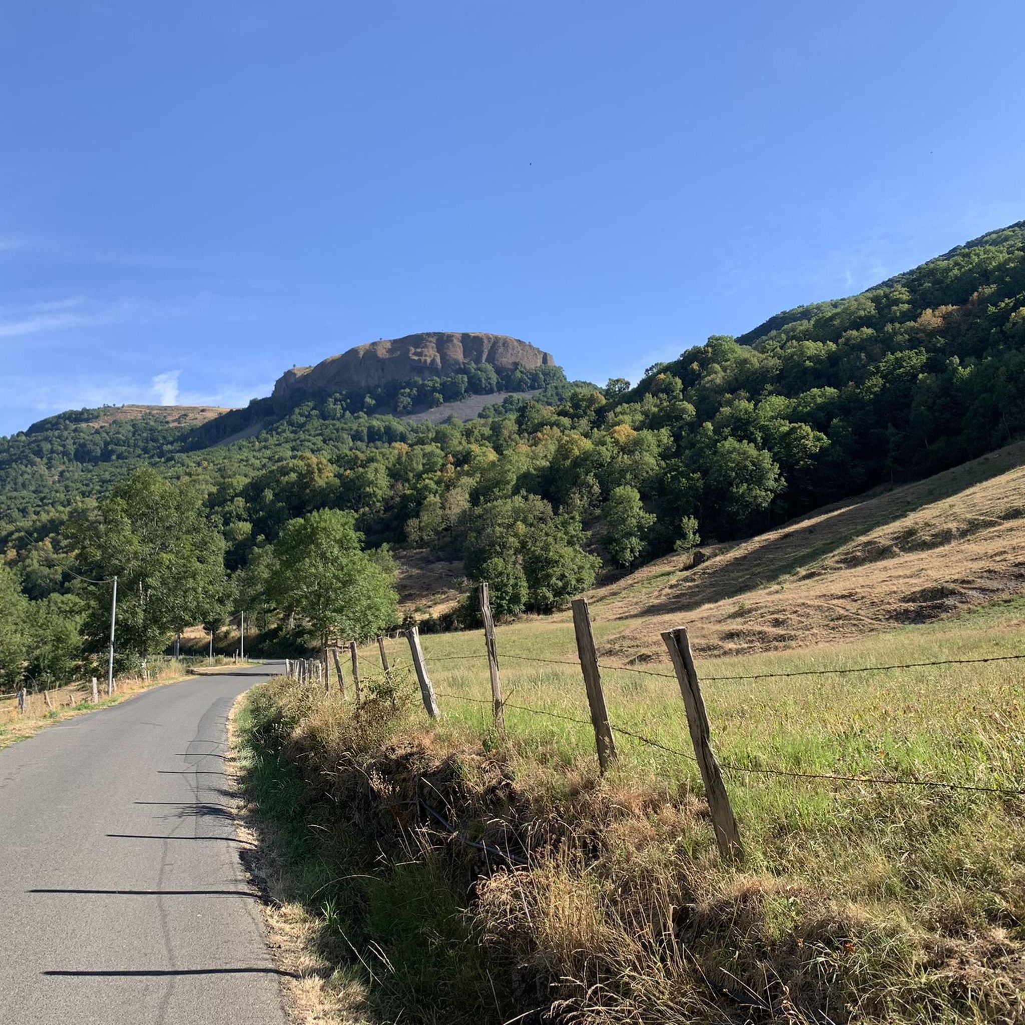
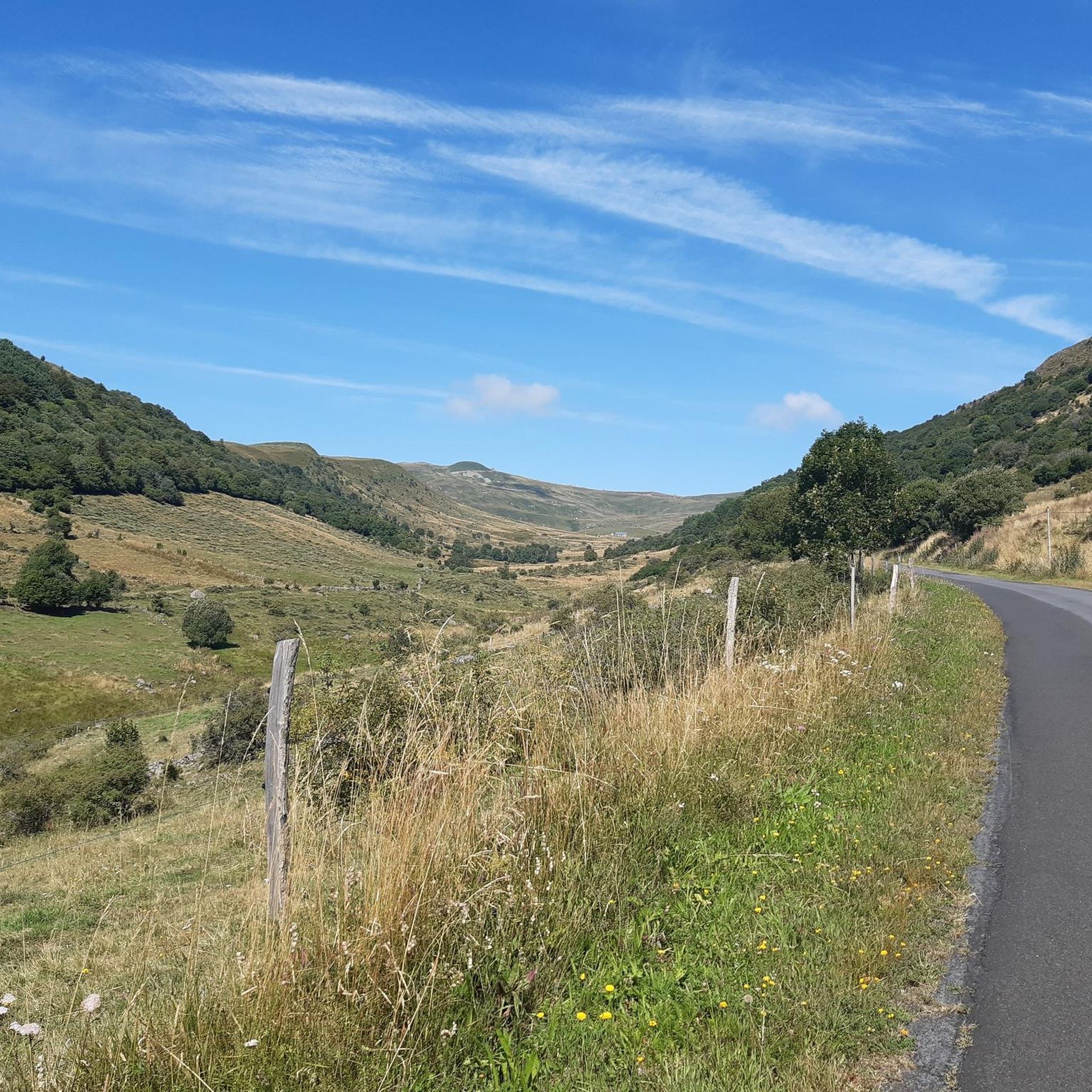
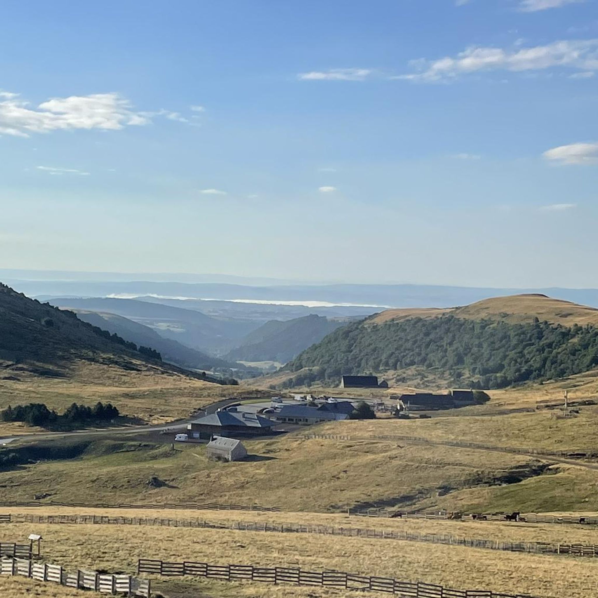
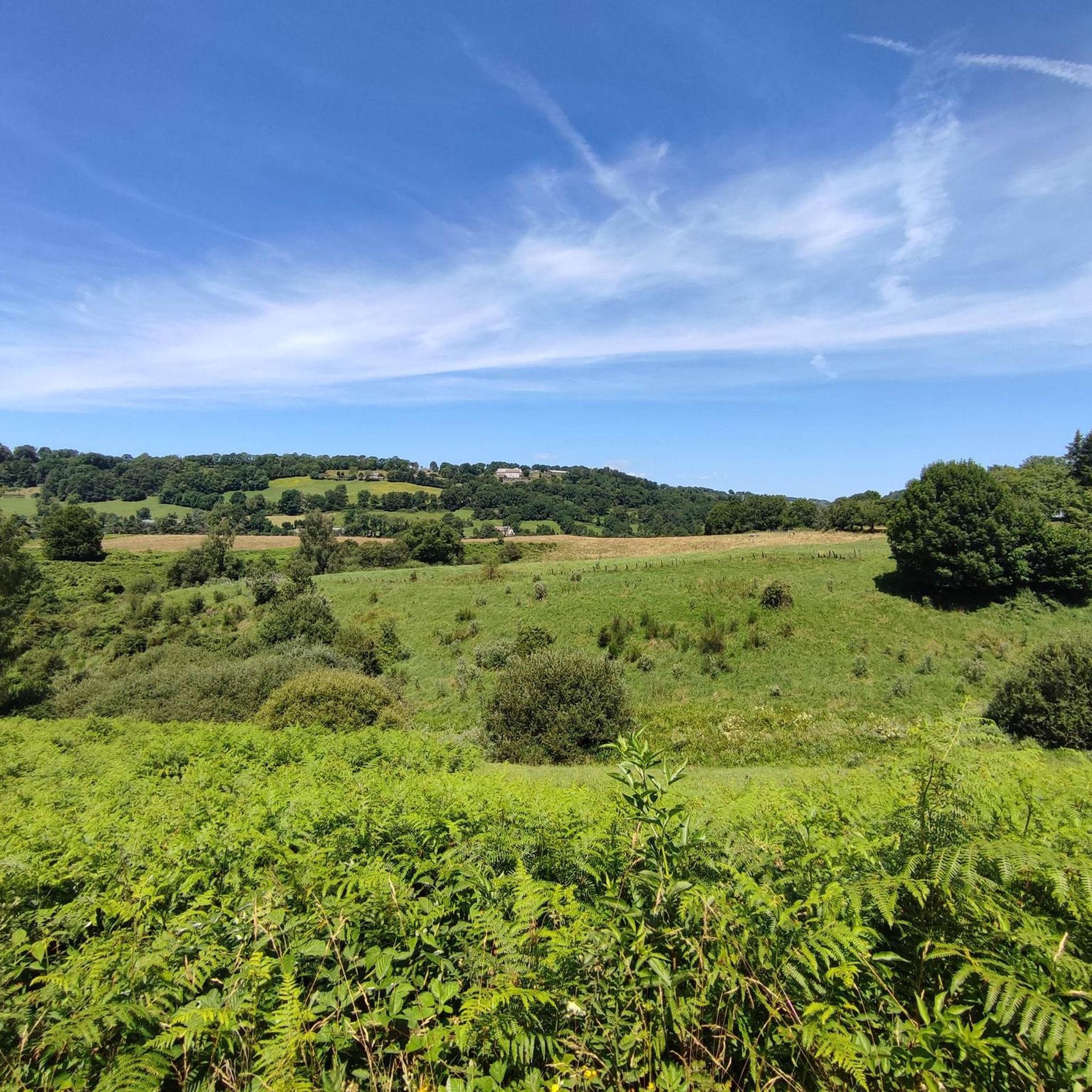
Hiking around Narnhac offers access to the dramatic volcanic landscapes of the Cantal department in the Auvergne-Rhône-Alpes region of France. The terrain is shaped by ancient volcanic activity, featuring rounded peaks, deep valleys, and plateaus. Hikers can explore areas with diverse natural features, including dense beech forests, expansive mountain pastures, and picturesque waterfalls. The region provides a varied environment for outdoor activities.
Best hiking trails around Narnhac
- The most popular hiking route is Laussac Peninsula Loop, a 9.2 miles…
Last updated: June 29, 2026
4.6
(5)
36
hikers
14.8km
04:19
390m
390m
Hike the moderate 9.2-mile Presqu'île de Laussac loop from Thérondels, offering stunning views of Sarrans Lake and the Aubrac Regional Natur
4.0
(4)
17
hikers
19.3km
05:38
520m
520m
Hike the difficult 12.0-mile MCVL2: Prat-de-Bouc Pass to Pailherols Trail through diverse Cantal landscapes and past Puy Gros Summit.

Sign up for free
4.8
(5)
20
hikers
9.21km
02:52
340m
340m
Moderate hike. Good fitness required. Mostly accessible paths. Sure-footedness required.
5.0
(2)
15
hikers
10.3km
03:08
350m
360m
Moderate hike. Good fitness required. Easily-accessible paths. Suitable for all skill levels.
4.5
(2)
16
hikers
22.5km
06:39
660m
660m
Hard hike. Very good fitness required. Easily-accessible paths. Suitable for all skill levels.
Get access to more routes and recommendations from other explorers.
Sign up for free
Already have an account?
Our route recommendations are based on thousands of hikes, rides, and runs completed by other people on komoot.
Start today with a free account
Your next adventure awaits.
Login or Signup
Tips from the Community

Summit accessible by gravel bike from the Lioran station via a fairly clean gravel path but with a steep climb (20% gradient in places). It's a beautiful challenge that is well worth it just for the panoramic view at the summit.
0
0

There seems to be an error, the point indicates the top of an impassable hiking trail, I had to push/carry the bike for 2/3 of the route (uphill from saint jacques de blat and downhill towards prat du bouc). However, the view is incredible, I don't regret this little hassle. There seem to be much more rideable trails below.
0
0


magnificent hike along the waterfalls. calm
0
0

an incredible museum with an exceptional guide
0
0

Very interesting museum of the bagpipe. Even if this instrument does not interest you, this museum is worth a visit.
0
0
Beautiful view of the lake and the peninsula
0
0

a 360° view of the Cantal, Lozère, Puy de Dôme... breathtaking
0
0
Frequently Asked Questions
How many hiking trails are available around Narnhac?
There are over 30 hiking routes around Narnhac, offering a diverse range of experiences. These include 7 easy trails, 17 moderate routes, and 6 more challenging paths, catering to various skill levels.
What kind of terrain can I expect on hikes near Narnhac?
The terrain around Narnhac is primarily shaped by ancient volcanic activity, offering a unique and varied landscape. You'll encounter rounded peaks, deep valleys, and plateaus. Hikes often traverse dense beech forests, expansive mountain pastures, and some areas feature rugged limestone cliffs. It's a dynamic environment with significant elevation changes on many routes.
Are there any family-friendly hiking options in Narnhac?
Yes, Narnhac offers several family-friendly hiking options. There are 7 easy routes available, perfect for a leisurely walk with children. The wider Cantal region also features walks like "La Bonnevie de Saint-Antoine" which are suitable for families looking to explore local nature.
Can I find hikes with waterfalls around Narnhac?
Absolutely. The region around Narnhac is known for its picturesque waterfalls. A popular option is the Livernade Waterfall – Arbre de la Biche Waterfall loop from Lustrande, which is a moderate 5.3-mile trail. Other notable waterfalls in the area include Cascade de Liadouze and Cascade du Déroc, providing refreshing stops along many routes. You can also visit the Arbre de la Biche Waterfall and Roucole Waterfall as highlights.
What are some notable landmarks or viewpoints to discover while hiking in Narnhac?
Hikers in Narnhac can enjoy stunning volcanic landscapes and panoramic views. Prominent peaks like the Plomb du Cantal and Puy Griou offer challenging ascents and exceptional vistas. You can also explore the Pas de Cère Gorges, visit the Hangman's Rock for a viewpoint, or discover the Buron de la Combe de la Saure and Cirque de Granval.
Are there any challenging hikes for experienced trekkers near Narnhac?
Yes, for experienced trekkers, Narnhac offers several challenging routes. The MCVL2: Prat-de-Bouc Pass to Pailherols Trail is a difficult 12.0-mile path with significant elevation gain through mountainous volcanic terrain. Another demanding option is the Plomb du Cantal – Puy Brunet loop from Ma Montagne, a 22.4 km difficult route that takes you to the highest point in Cantal.
What do other hikers enjoy most about hiking in Narnhac?
The hiking trails around Narnhac are highly rated by the komoot community, with an average score of 4.5 stars from over 160 reviews. Hikers often praise the dramatic volcanic landscapes, the diverse natural features including forests and waterfalls, and the variety of routes suitable for different abilities.
Are there circular hiking routes available in Narnhac?
Yes, many of the trails around Narnhac are designed as circular routes, allowing you to start and end at the same point. An example is the Laussac Peninsula Loop, a moderate 9.2-mile trail offering views of the peninsula and surrounding waters. The Livernade Waterfall – Arbre de la Biche Waterfall loop from Lustrande is another popular circular option.
What is the best time of year to go hiking in Narnhac?
The best time for hiking in Narnhac is generally from spring through autumn (May to October), when the weather is milder and the trails are most accessible. During these months, you can fully appreciate the verdant hills, mountain pastures, and waterfalls. While winter hiking is possible, some higher-altitude trails may be challenging due to snow and ice.
Are there any specific trails that highlight the volcanic origins of the region?
Many trails in Narnhac showcase the region's volcanic heritage. The entire area is part of the Parc Naturel Régional des Volcans d'Auvergne, home to Europe's largest stratovolcano. Routes like the MCVL2: Prat-de-Bouc Pass to Pailherols Trail offer significant elevation gain through mountainous terrain characteristic of the volcanic massifs, allowing you to experience the dramatic landscapes shaped by ancient eruptions.
Are there any cultural or historical points of interest along the hiking routes?
While the primary focus is on natural beauty, some routes may pass by cultural points. For instance, the Musée des cornemuses du monde loop from VIEILLENAUT offers a blend of hiking with a cultural stop. The wider Cantal region also has local villages and traditional burons (shepherd's huts) that add to the cultural experience.
Most popular attractions around Narnhac

Get inspired with the komoot mobile app


Explore more
Browse the best Hikes in other regions.
