The best road cycling routes around Mazoires
4.8
(19)
441
riders
29
rides
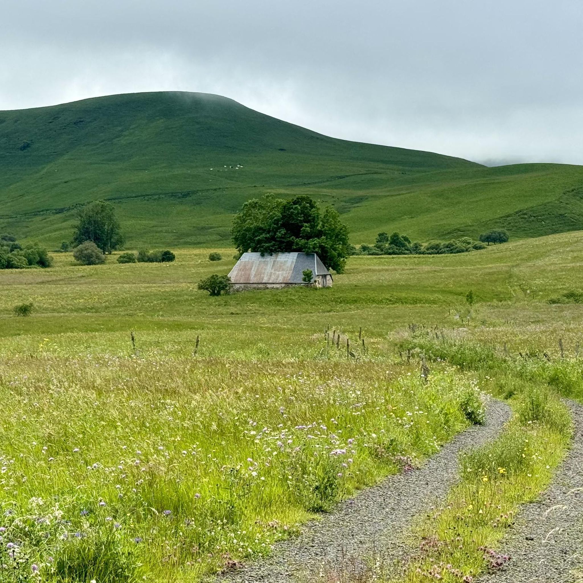
Road cycling around Mazoires offers routes through the mountainous terrain of the Puy-de-Dôme department, characterized by its volcanic origins and significant elevation changes. The region is part of the Cézallier massif, providing diverse landscapes between the Monts Dore and Cantal mountains. Road cyclists can expect routes with both challenging climbs and rewarding descents, set against a backdrop of natural features.
Best road cycling routes around Mazoires
- The most popular road cycling route is Volpilière Pass – Lake Bourdouze loop from…
Last updated: July 15, 2026
5.0
(1)
163
riders
173km
08:51
3,060m
3,070m
Hard road ride. Very good fitness required. Mostly well-paved surfaces and easy to ride.
5.0
(2)
24
riders
32.7km
01:37
530m
530m
Moderate road ride. Good fitness required. Mostly well-paved surfaces and easy to ride.

Sign up for free
11
riders
36.0km
01:50
620m
620m
Moderate road ride. Good fitness required. Mostly well-paved surfaces and easy to ride.
12
riders
47.4km
02:29
880m
880m
Moderate road ride. Good fitness required. Mostly well-paved surfaces and easy to ride.
9
riders
77.2km
03:57
1,230m
1,230m
Hard road ride. Very good fitness required. Mostly well-paved surfaces and easy to ride.
Get access to more routes and recommendations from other explorers.
Sign up for free
Already have an account?
Our route recommendations are based on thousands of hikes, rides, and runs completed by other people on komoot.
Start today with a free account
Your next adventure awaits.
Login or Signup
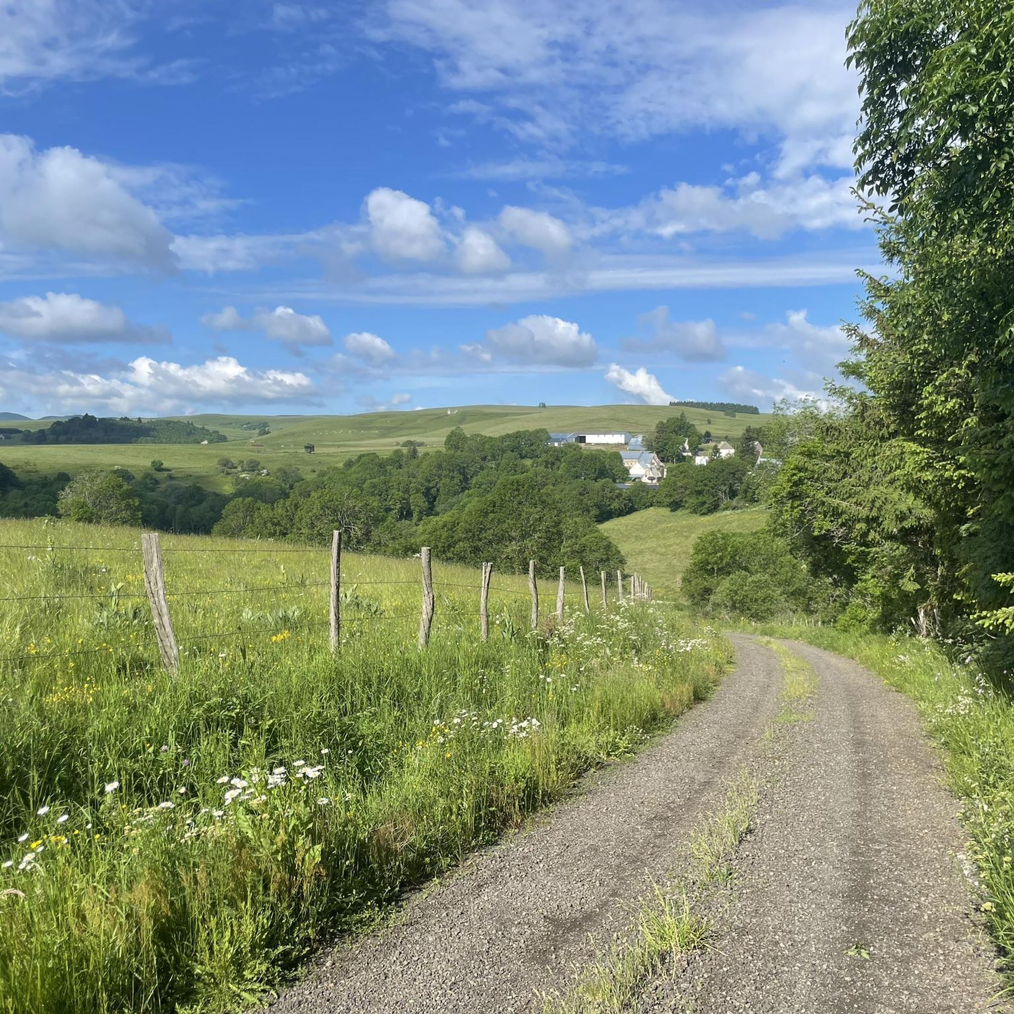
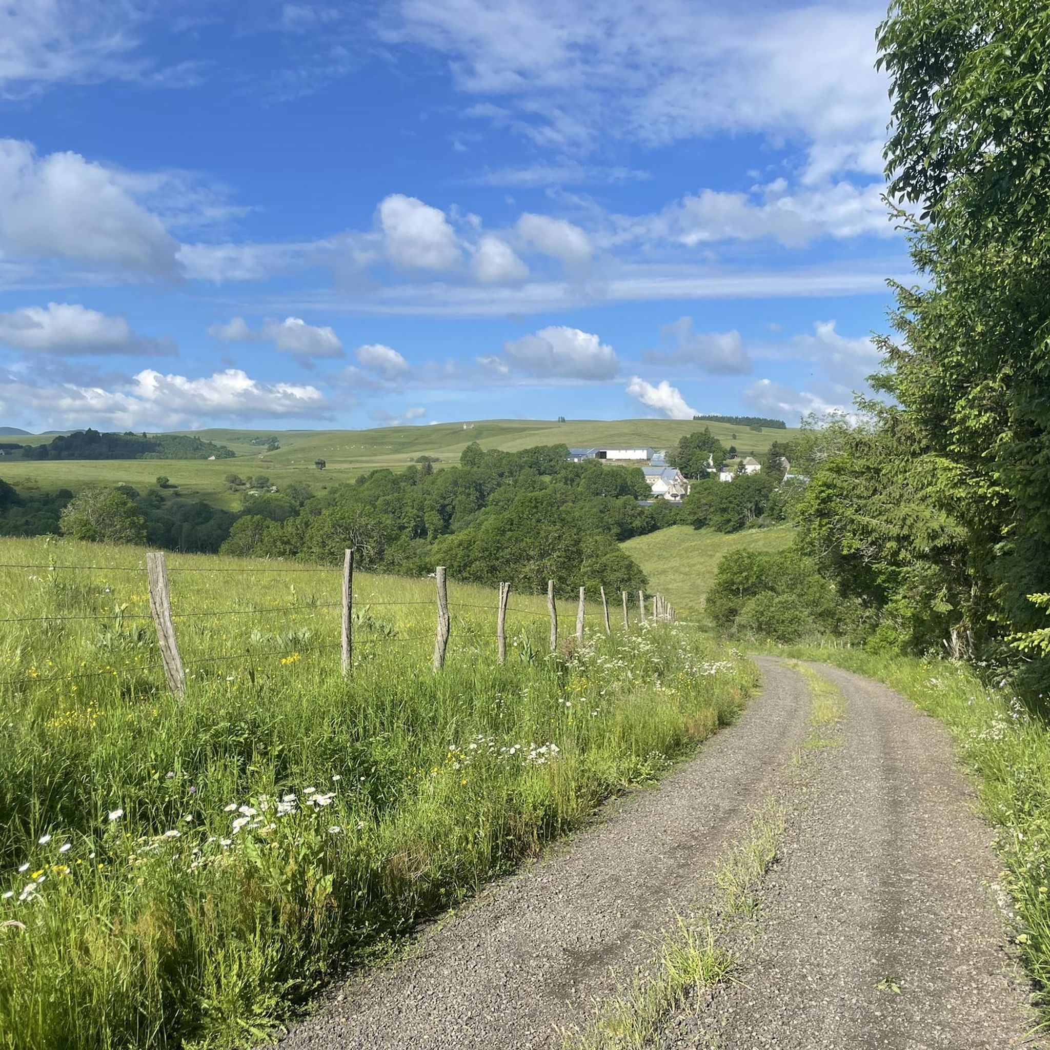
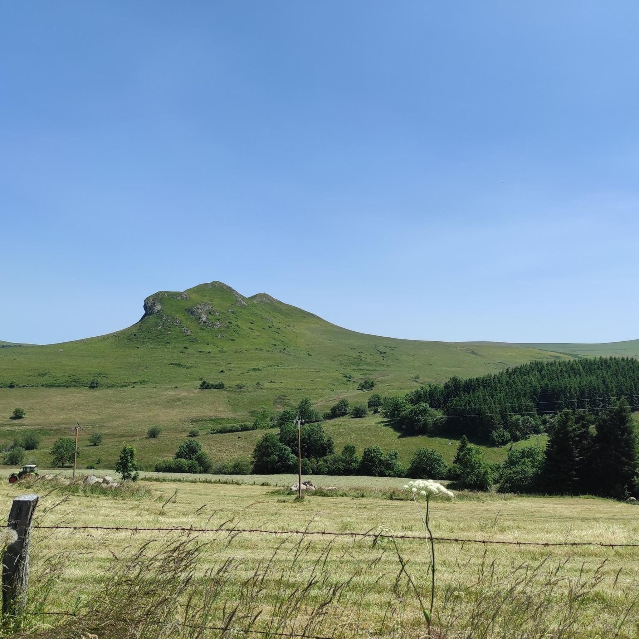
Tips from the Community


very pretty pass typical of Cezallier
1
0
beautiful in good weather
0
0
Pleasant and fairly easy. Beautiful route.
0
0

Why didn't you make the Luguet signal? You have to go through Parrot... a place called. After the GR path... to the Luguet woods.
0
0
Not too difficult, I did it on a mountain bike.
0
0
Magnificent scenery on quiet roads. A must-do!
0
0
Frequently Asked Questions
What kind of terrain and elevation changes can I expect on road cycling routes around Mazoires?
Road cycling around Mazoires is characterized by its volcanic origins and significant elevation changes, ranging from 640 meters to 1291 meters above sea level. You can expect routes with both challenging climbs and rewarding descents, set against the backdrop of the Cézallier massif, offering diverse landscapes between the Monts Dore and Cantal mountains.
Are there road cycling routes suitable for beginners in Mazoires?
While Mazoires is known for its mountainous terrain, there are options for various ability levels. The guide features 1 easy road cycling route, providing a gentler introduction to the region's scenery.
Where can I find challenging road cycling routes in Mazoires?
For experienced cyclists seeking a challenge, Mazoires offers 16 difficult road cycling routes. A notable example is the Volpilière Pass – Lake Bourdouze loop from Anzat-le-Luguet, a 173 km trail with substantial elevation gain, taking nearly 9 hours to complete.
Are there many loop road cycling routes available in Mazoires?
Yes, many of the road cycling routes around Mazoires are designed as loops, allowing you to start and finish in the same location. Examples include the La Godivelle – Chamaroux Pass loop from La Godivelle and the View of Dauzat-sur-Vodable loop from Ardes.
What scenic viewpoints or attractions can I discover along road cycling routes in Mazoires?
The region boasts numerous natural attractions. You might encounter the dramatic Mottes Cliffs, the unique Fairy Chimneys of the Vallon des Fosses, or enjoy views from the View of Mont Chamaroux and the Cézallier mountains. Some routes also pass by picturesque spots like Lake Bourdouze.
Are there any routes that pass by waterfalls in the Mazoires area?
Yes, the Mazoires area is home to natural monuments, including waterfalls. You can find routes that lead near the beautiful Saillant Waterfall, offering a refreshing stop during your ride.
What is the best time of year for road cycling in Mazoires?
Given the mountainous terrain and varying altitudes, the warmer months from late spring to early autumn are generally the most favorable for road cycling in Mazoires. This period offers more stable weather conditions and allows for full enjoyment of the scenic landscapes.
What do other road cyclists say about their experience in Mazoires?
The road cycling routes in Mazoires are highly rated by the komoot community, with an average score of 4.9 stars from over 15 reviews. More than 380 road cyclists have explored the varied terrain, often praising the challenging climbs, rewarding descents, and breathtaking natural scenery.
How many road cycling routes are available around Mazoires?
There are 30 road cycling routes available around Mazoires, catering to various skill levels from easy to difficult, ensuring a diverse range of experiences for every cyclist.
Is parking available near the starting points of road cycling routes in Mazoires?
As Mazoires is a commune in a rural, mountainous region, parking is generally available in or near the villages that serve as starting points for many routes. It's advisable to check specific village amenities for designated parking areas.
Can I reach Mazoires or the starting points of routes by public transport?
While Mazoires is a rural area, public transport options might be limited. For detailed information on local public transport to Mazoires or specific starting points, it's recommended to consult regional transport services or local tourist information.
Are there cafes or restaurants along the road cycling routes in Mazoires?
Given the rural nature of the Cézallier massif, amenities like cafes and restaurants may be sparse directly along all routes. However, villages and towns like Mazoires itself, or larger nearby settlements, will offer options for refreshments and meals. Planning your route to pass through these areas is recommended for breaks.
Most popular attractions around Mazoires

Get inspired with the komoot mobile app


Explore more
Browse the best Road cycling routes in other regions.
